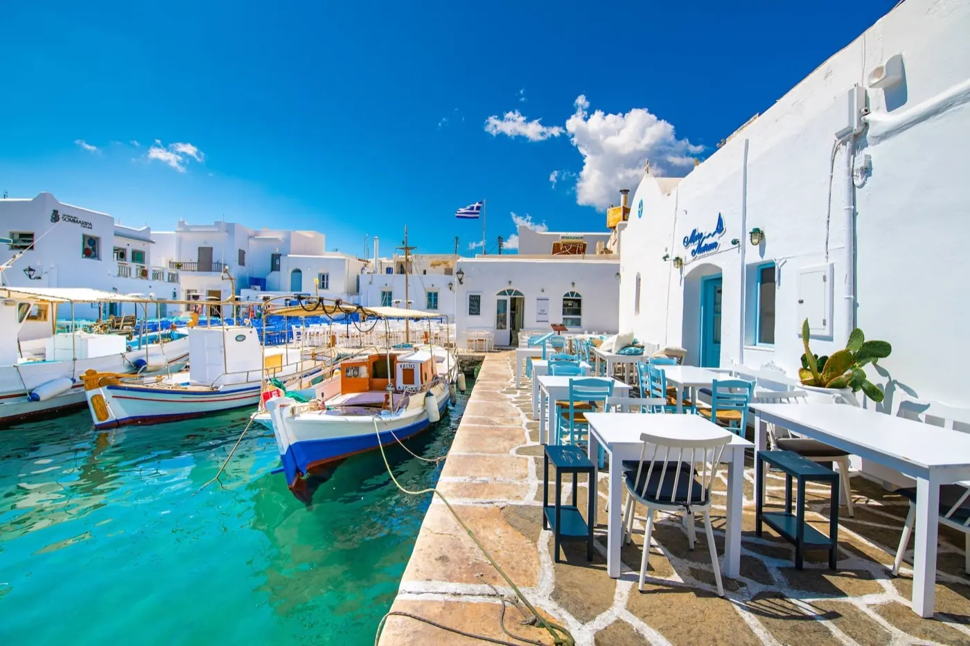
Greece.
Choose an island group, a city or a coastal base, then connect the places with services that operate on your travel dates.
One country, different starting points.
A little closer to Greece
Geography, regions and practical details from the country guide. Go straight to a chapter, or browse every destination below.
Go straight to the destinationsAthens is the capital, but Greece offers many different starting points for a trip. A city stay, an island holiday and a journey between several islands need different amounts of time for transport.
Start with the places you most want to see. Then check the actual port, airport and onward transfer before deciding how many bases to use.
Islands and coastlines
The Greek National Tourism Organisation groups island destinations into the Argosaronic islands, Crete, Cyclades, Dodecanese, Evia, Ionian, North Aegean and Sporades. These groups are useful starting points for choosing an area.
The coast includes sandy and pebble beaches, bays, wetlands and volcanic shores. Choose a specific destination for the landscape you want; the country name alone tells you little about the beach beside your accommodation.
Choosing a base
For an Athens-and-islands trip, Piraeus is a major gateway to the Aegean. The main passenger port, Zea Marina and Mikrolimano are distinct places: a waterfront restaurant address is not necessarily near your ferry gate.
Within an island group, compare the real connections before booking several hotels. An apparent short distance across the water does not establish a direct ferry, a convenient departure time or a same-day return.
Language and place names
Greek is the official EU language of Greece. Place names may appear in Greek script and in Latin transliteration. Keep the spelling and full address used on the ticket or booking confirmation.
Kalimera means good morning, efcharisto means thank you and parakalo means please or you are welcome. For transfers, a written destination and a map pin are more useful than relying only on pronunciation.
Money and payments
Greece uses the euro, EUR. Compare the total cost of a stay or crossing, including any clearly stated extras, rather than only the first price shown.
Confirm how your accommodation and transfer provider accept payment. Keep a payment method available for the last part of the journey and check any exchange or withdrawal fee before confirming it.
Food and local life
Greek food is closely tied to local produce, olive growing, seasonal ingredients and regional recipes. A shared meal is part of the country’s hospitality tradition. Ask what is local to the particular island or town instead of expecting one identical national menu.
Explore regional cheeses, vegetables, wines and home-style dishes according to your preferences. Ask the venue about ingredients and its current hours; a destination description is not confirmation that a particular restaurant is open.
Arrivals and onward travel
Piraeus has metro connections with Athens and the airport, as well as bus and taxi options. Use the exact departure gate when planning the final part of the transfer and allow for the walk or ride within the port.
Check the date, terminal, boarding instructions and final return service before a day trip. Leave room in the itinerary for delays. For entry documents and other requirements, consult the official information for your own nationality and circumstances.
Sources & references
These references support the guide. Confirm opening hours, access and travel services before you go.
Find your place in Greece
Open the guides, get a feel for the differences between places, and find the ones that fit your plans.
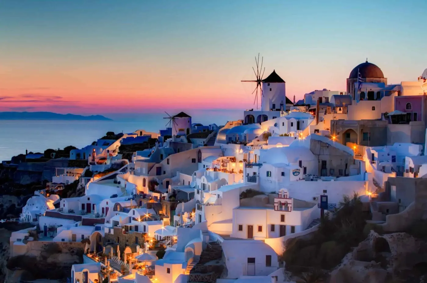
Santorini
Santorini combines caldera villages, a volcanic wine landscape and prehistoric archaeology with a different beach coast on the island's eastern side. Fira and Oia are the best-known viewpoints, but a longer visit leaves room for Pyrgos, village lanes, a winery or the story of ancient Akrotiri.
Read the field guide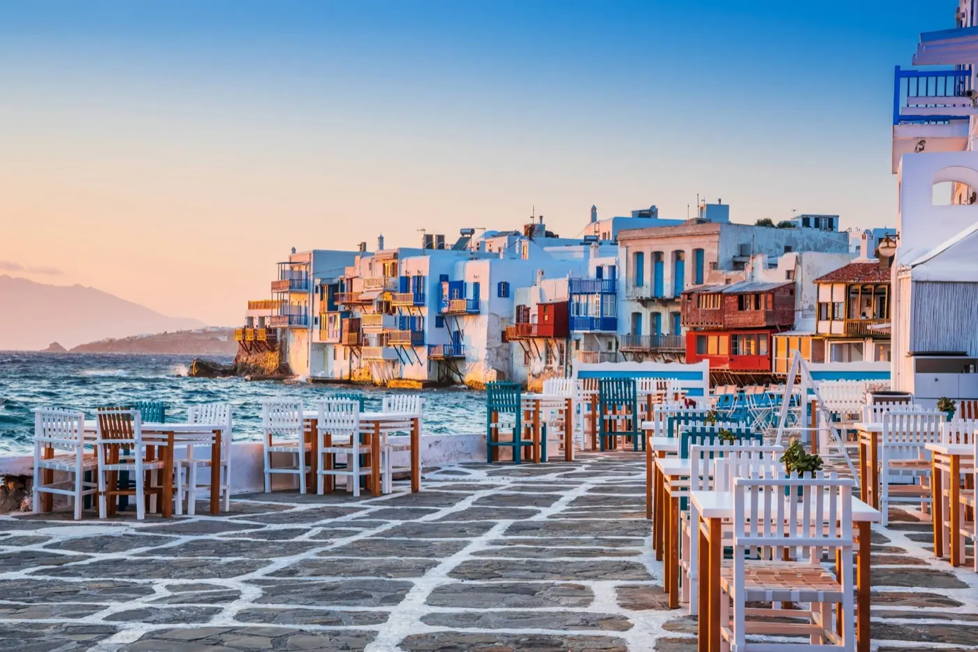
Mykonos
Mykonos combines a distinctive harbour town with beach areas, village life at Ano Mera and boat access to Delos. Chora's whitewashed lanes, windmills and Little Venice give the first visit a clear focus. A longer stay can balance those busy landmarks with a selected coast or inland outing.
Read the field guideParos
Paros balances a busy arrival town, Naoussa’s harbour, inland villages and sandy coasts. It is a good choice when the group wants different things from the same holiday: swimming, village walks, local food and an evening out can all have a place without every day becoming a long expedition.
Read the field guide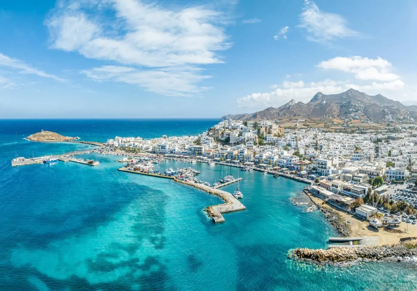
Naxos
Naxos brings together a working harbour town, long sandy beaches and a fertile interior of villages, farmland and historic monuments. It suits a stay that changes pace: spend one day beside the sea and another among the inland settlements rather than treating the entire island as a single beach resort.
Read the field guide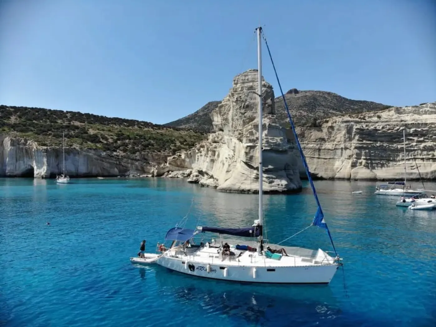
Milos
Milos is an island of volcanic colours, fishing settlements and sharply contrasting coasts. White rock at Sarakiniko, the formations around Kleftiko and the inland village setting of Plaka support very different days. Give the coast room in the itinerary instead of turning every photograph into another hurried stop.
Read the field guide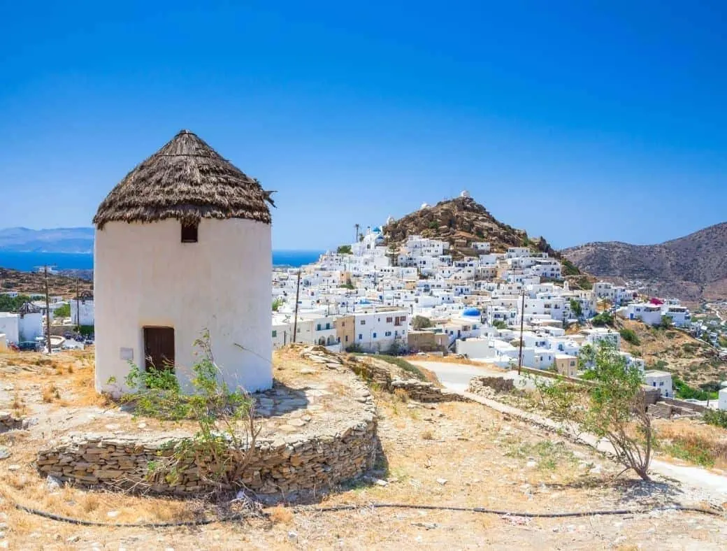
Ios
Ios combines a lively Chora with sandy bays, countryside and an important prehistoric settlement. The island has a well-known nightlife scene, but it also supports a holiday centred on archaeology, swimming and village walks. Choose the balance you want before choosing a room.
Read the field guide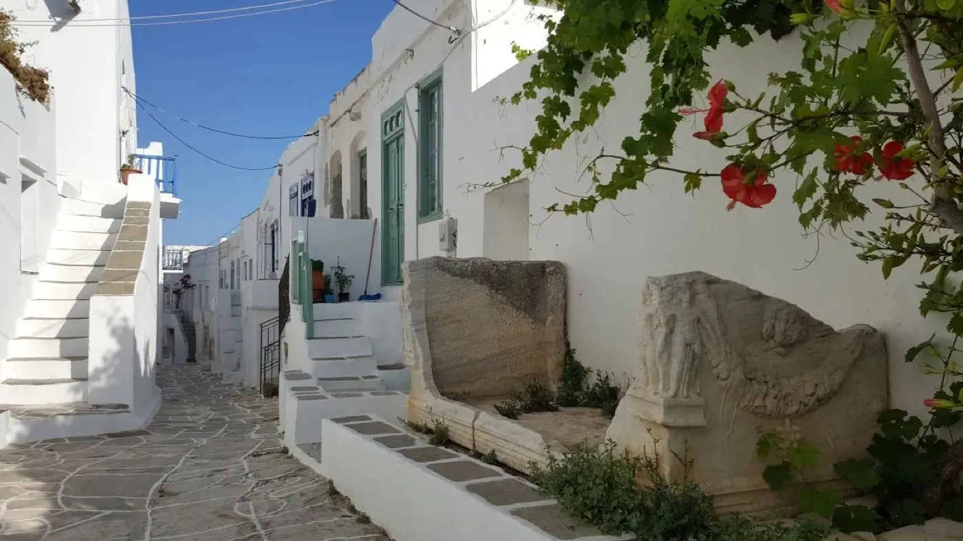
Sifnos
Sifnos brings village lanes, pottery and a strong cooking tradition into a landscape of paths and distinct coastal settlements. It suits a holiday with time for an inland walk, a pottery visit and a chosen beach, with food as part of the place rather than an extra item between attractions.
Read the field guide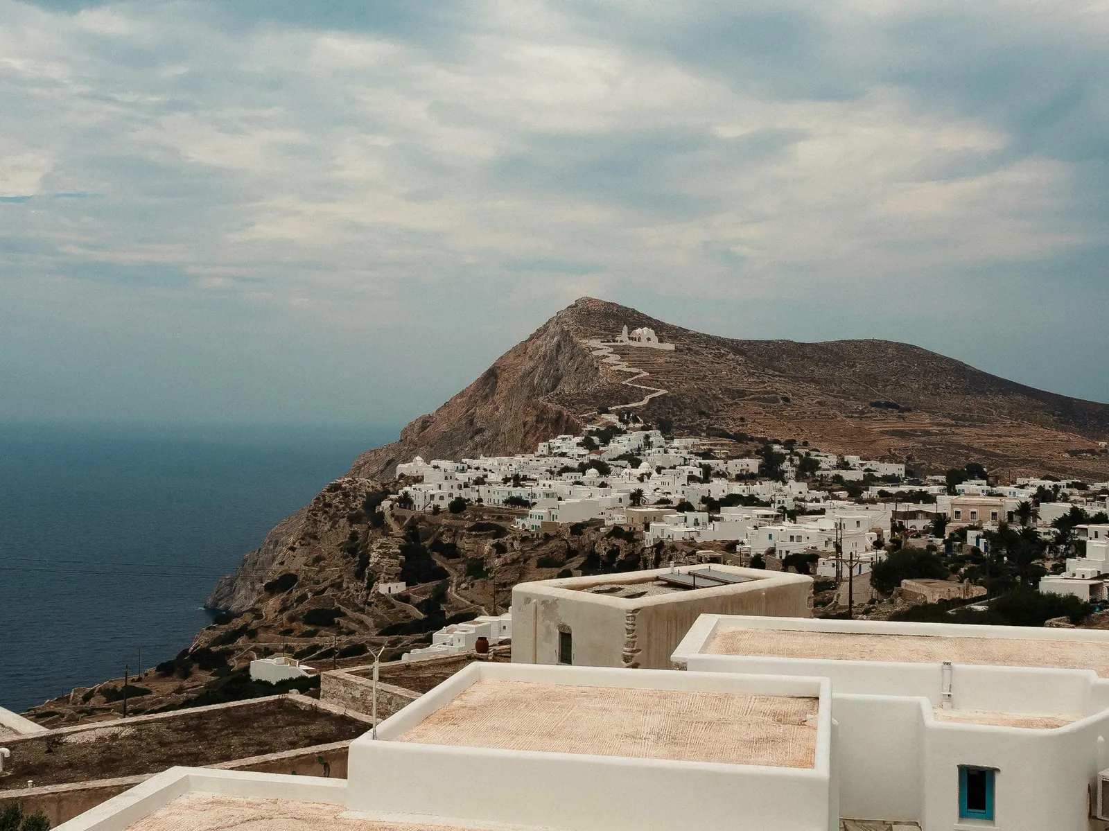
Folegandros
Folegandros brings together a cliff-edge Chora, the farming landscape of Ano Meria and small beaches reached by road, path or boat. Its appeal is in the contrast between village evenings and open, rocky countryside. Choose a few outings and give each enough time rather than trying to collect every cove in one day.
Read the field guide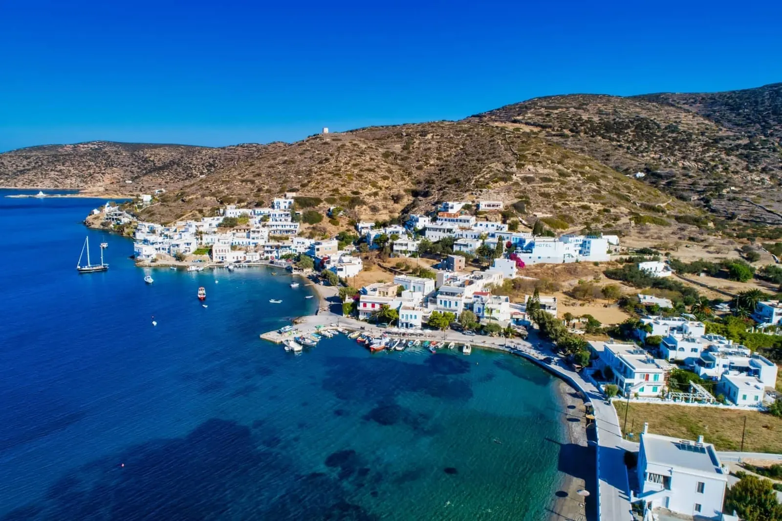
Amorgos
Amorgos is a long, mountainous Cycladic island where the journey between places is part of the experience. Cliffside Hozoviotissa, the lanes of Chora and the very different harbour settings of Katapola and Aegiali give a first visit several distinct centres.
Read the field guide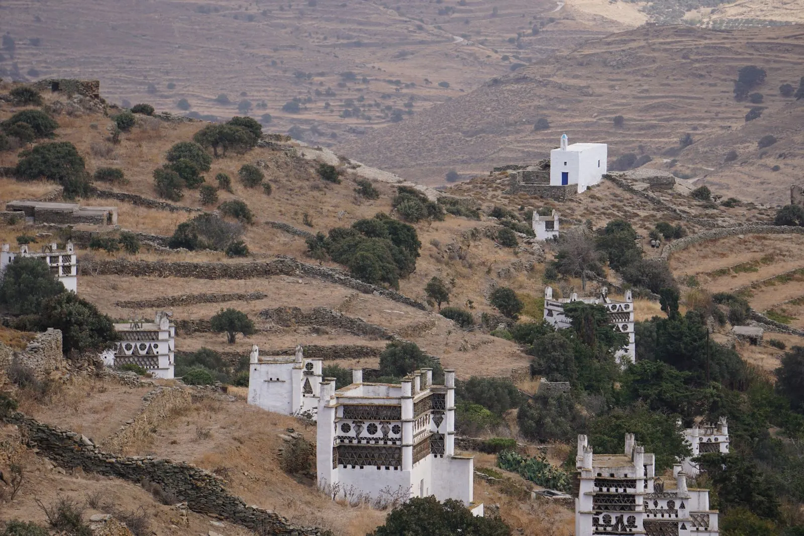
Tinos
Tinos brings pilgrimage, marble craftsmanship and a landscape of terraced hills and distinctive villages into the same island visit. The church of Panagia Evangelistria is a major focus in town, while Pyrgos, Volax and the countryside reveal a much wider cultural and outdoor destination.
Read the field guide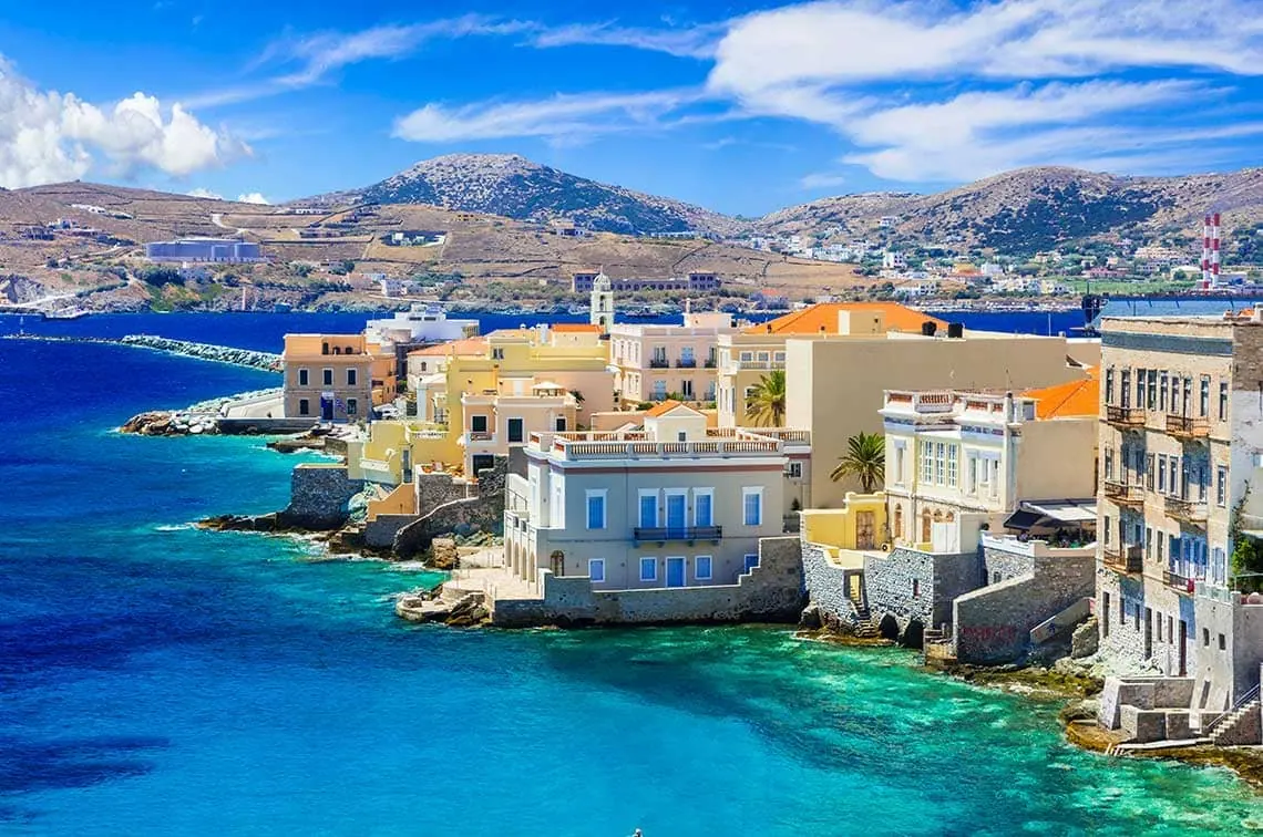
Syros
Syros combines the neoclassical harbour city of Ermoupoli with the medieval lanes of Ano Syros and coastal villages beyond the town. It offers a different Cycladic stay: civic architecture, churches and cultural visits can be as central as swimming. Give the two hillside settlements time rather than seeing only the ferry waterfront.
Read the field guide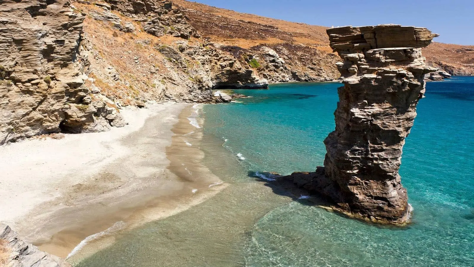
Andros
Andros brings a green, water-rich interior and a seafaring island culture to the northern Cyclades. Its harbour at Gavrio, the west-coast setting of Batsi and the distinctive capital of Chora provide different starting points. A stay can combine beaches with village walks, springs and cultural visits rather than focusing on one resort strip.
Read the field guide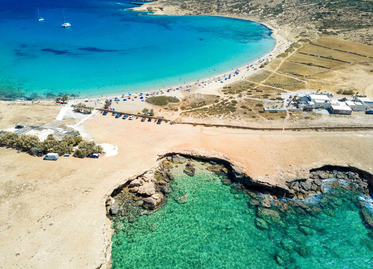
Koufonisia
Koufonisia combines a village stay on Pano Koufonisi, also called Ano Koufonisi, with a coastline of sandy beaches and rock formations. Kato Koufonisi is a separate island reached by boat; it is a different outing from walking out of Chora for a swim.
Read the field guide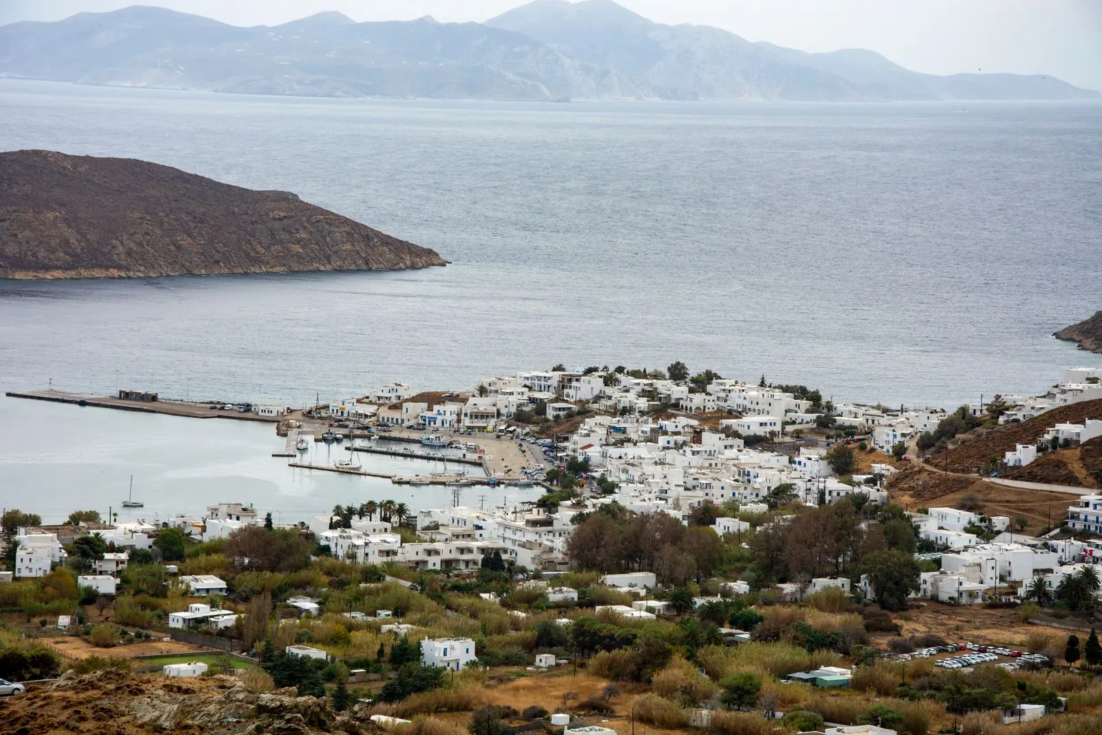
Serifos
Serifos makes a strong first impression with Chora above the harbour at Livadi. The island combines that hilltop village with distinct bays and a mining landscape that gives part of the western coast a different history. It suits a stay with time for a village walk, a chosen beach and a long, simple meal.
Read the field guide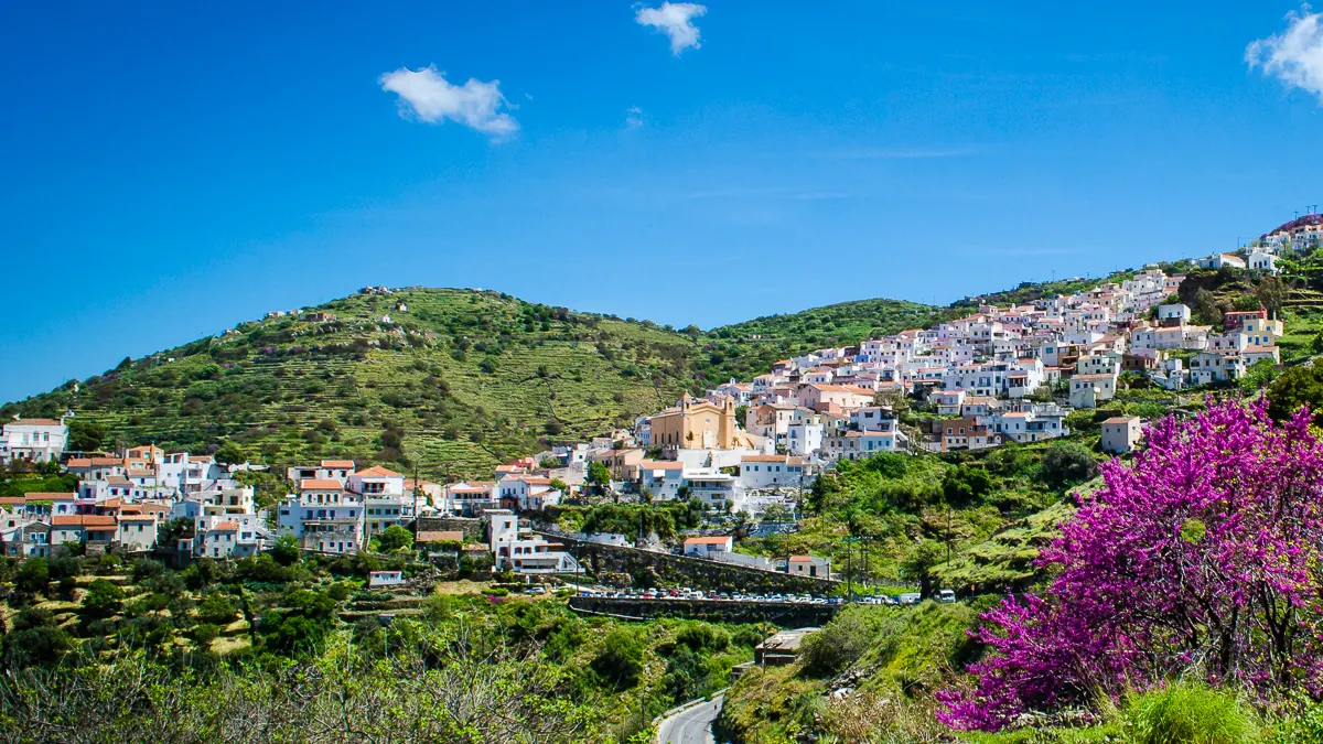
Kea
Kea, also known as Tzia, combines the hillside capital of Ioulida with a harbour at Korissia, oak-covered inland landscapes and a varied coast. It is a rewarding choice for village walks and selected beach days, with ancient history threaded through the island rather than concentrated in a single resort.
Read the field guide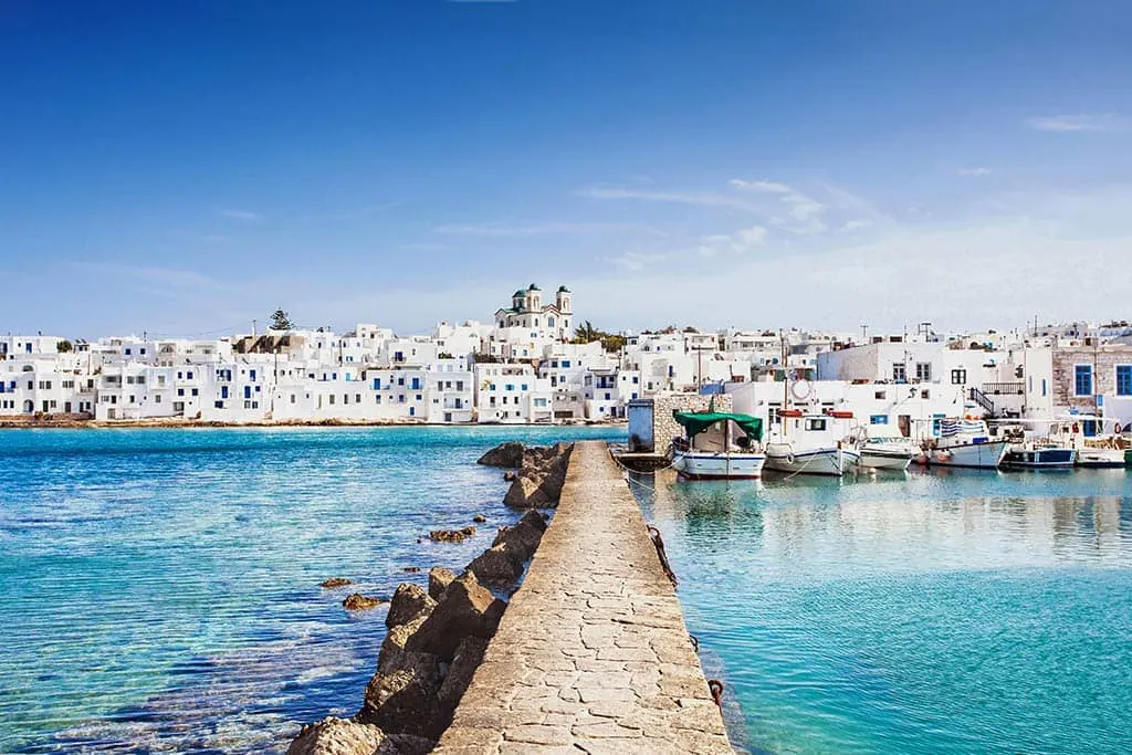
Antiparos
Antiparos offers village evenings, a small harbour and a coastline that leads to very different beaches and the southern settlement of Agios Georgios. Its closeness to Paros makes a short visit possible, but a longer stay leaves time for the cave, a separate boat outing and an ordinary unhurried day in the village.
Read the field guide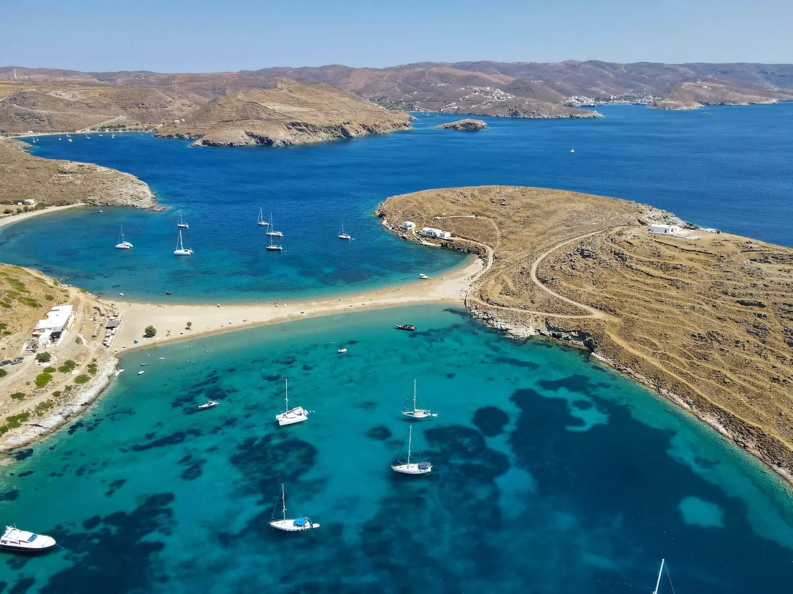
Kythnos
Kythnos combines two very different inland settlements with a coast of coves, the harbour at Merichas and the thermal-water setting of Loutra. It suits a holiday that alternates village walks and selected beaches. Its closeness to Attica makes the sea journey manageable, but the island still rewards time beyond the arrival shore.
Read the field guide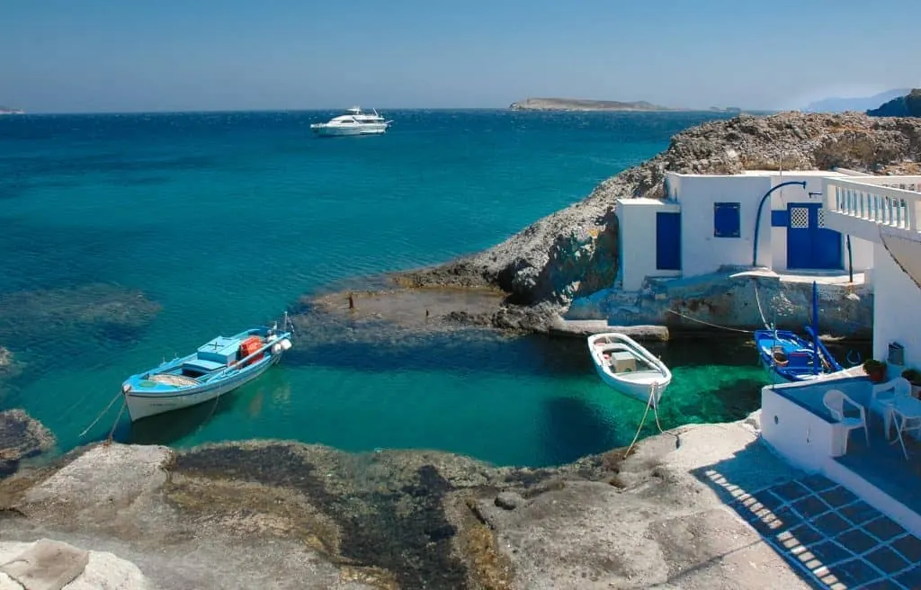
Kimolos
Kimolos is a small volcanic island beside Milos, with a lived-in main village, a harbour at Psathi and a coastline of pale rock and distinct coves. It suits a holiday built from village walks, local food and a few chosen beach or walking outings.
Read the field guide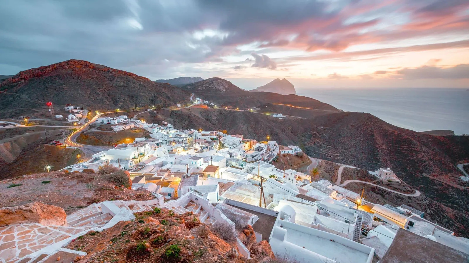
Anafi
Anafi lies east of Santorini, with Chora on the hillside above the port of Agios Nikolaos. The landscape is dry and open, with paths, sandy coves and the striking outline of Kalamos at the eastern end of the island.
Read the field guide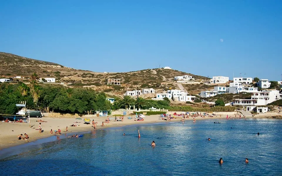
Donoussa
Donoussa is a small Cycladic island of pale rocky slopes, footpaths and clear-water bays. Its appeal is the scale: a few settlements, a harbour where arrivals become part of village life, and days built around a walk, a swim and a long meal.
Read the field guide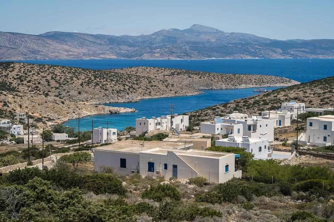
Iraklia
Iraklia is a Small Cyclades island for days built around walking, swimming and an unhurried meal. Agios Georgios gathers the harbour and much of the visitor activity, while inland Panagia gives a different view of the island's stone-built village life.
Read the field guide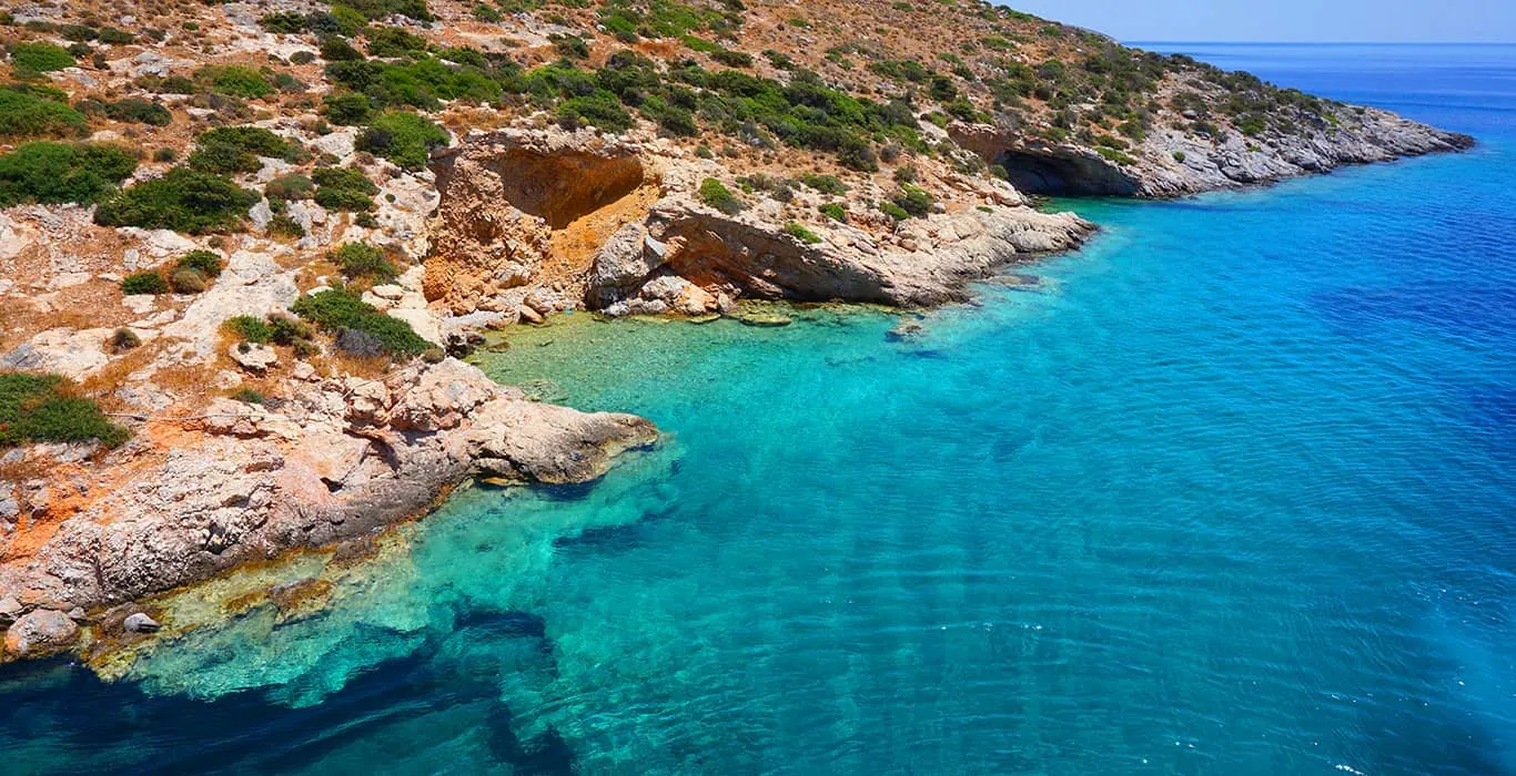
Schinoussa
Schinoussa lies south of Naxos, with a sheltered arrival at Mersini and the main village of Chora on a hill above it. Small-scale settlements, farming country and several separate coves make it a place to build a holiday around a few familiar routes.
Read the field guide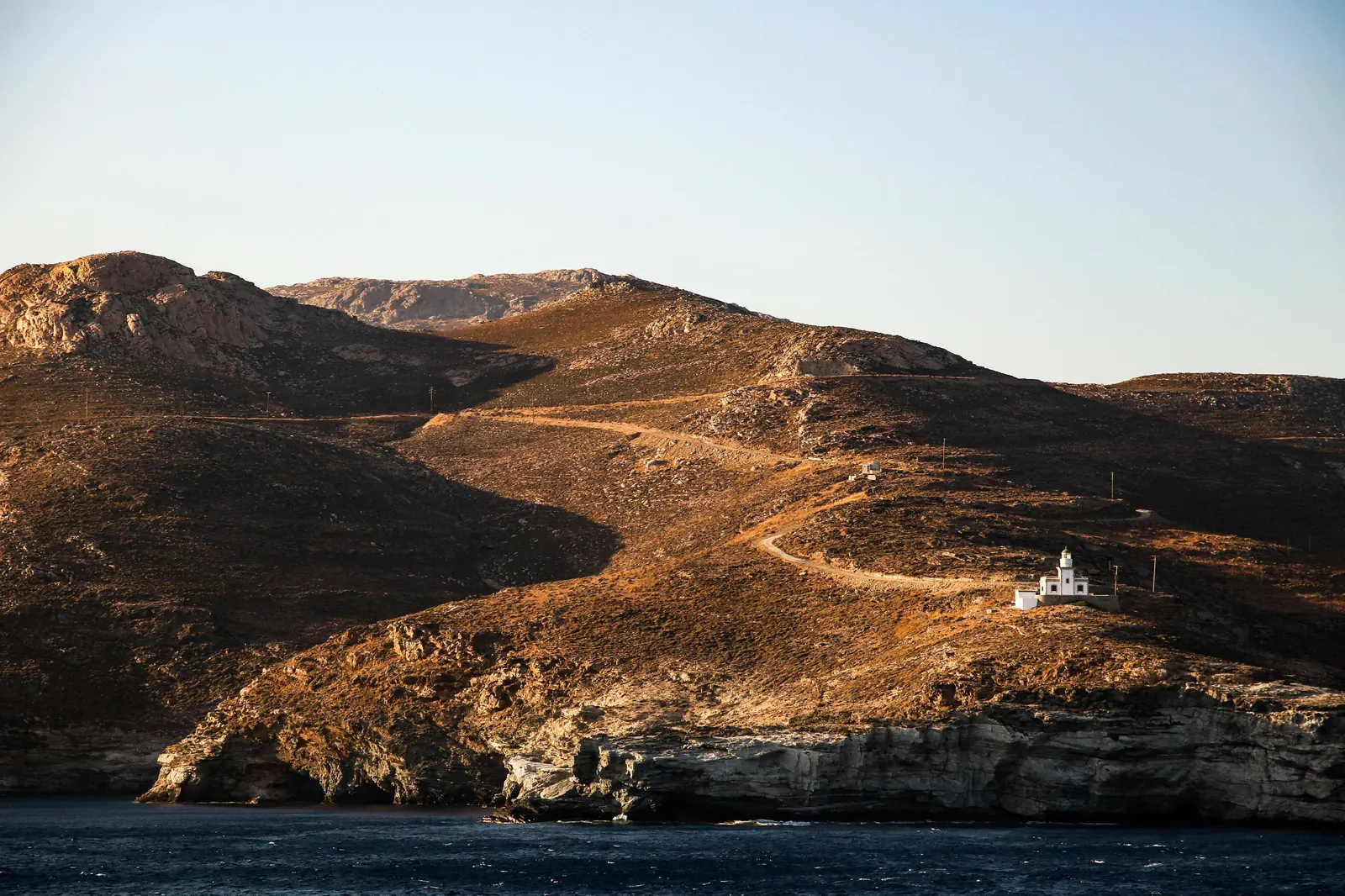
Sikinos
Sikinos is a small Cycladic island where the harbour at Alopronia, the upper settlements and a spare inland landscape create a quiet holiday. It rewards an unhurried village stay, a few selected walks and time on the coast. The most useful choice is where to base yourself between the waterfront and the upper village setting.
Read the field guide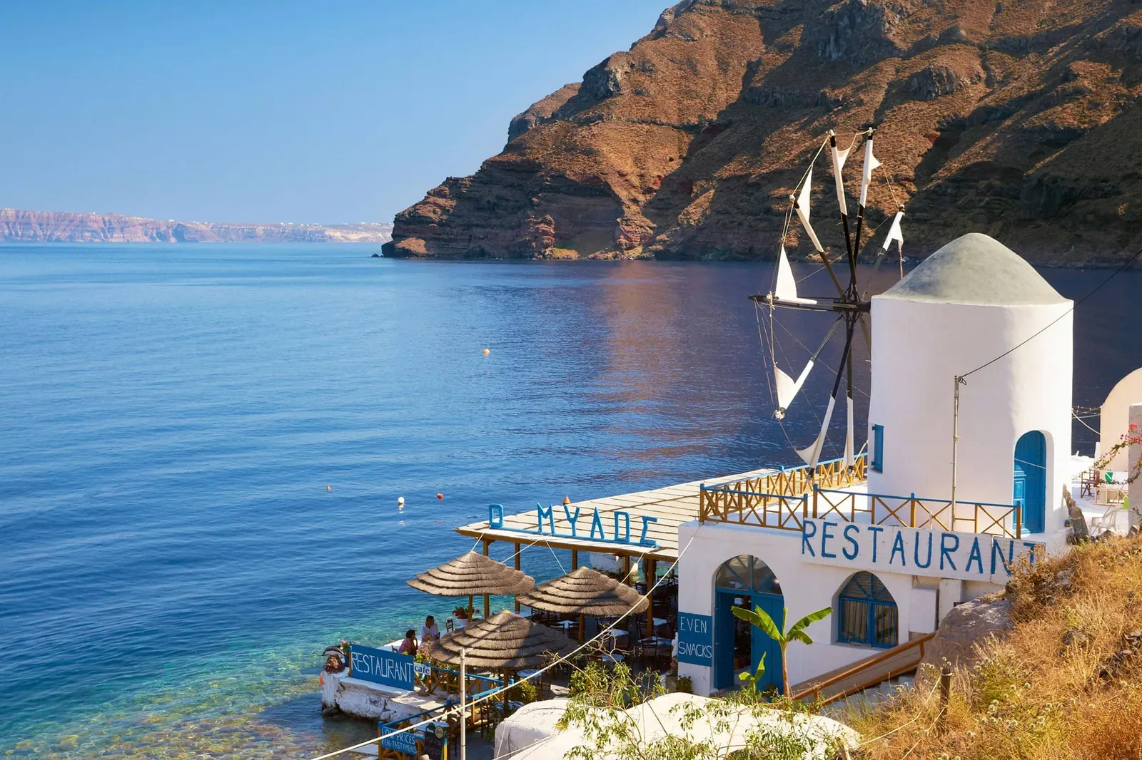
Thirasia
Thirasia faces Oia across the Santorini caldera, with a small network of settlements and very different places to arrive by sea. Manolas is the main village above the caldera, Riva the northern port, and Korfos the waterfront below Manolas.
Read the field guide
Heraklion
Heraklion is Crete’s busy capital, with museums, shopping streets and a working waterfront alongside the remains of Venetian Candia. It is an excellent place to connect the Minoan palace at Knossos with the objects excavated there, then spend the evening in a living city.
Read the field guide
Chania
Chania combines a Venetian harbour, old-town lanes and neighbourhoods where everyday Cretan city life continues beyond the waterfront. Its Egyptian lighthouse, stone shipyards and sea-facing cafés make an easy first walk, while Chalepa adds a different chapter of the city’s history.
Read the field guide
Rethymno
Rethymno sits on Crete’s north coast between Chania and Heraklion. Its old town brings Venetian doorways, Ottoman monuments and small squares together below the Fortezza, while a long sandy beach begins east of the harbour.
Read the field guide
Agios Nikolaos
Agios Nikolaos is a town on Mirabello Bay where Lake Voulismeni meets the sea through a narrow channel. Cafés, shopping streets and several separate waterfronts make it a pleasant base for a few days in eastern Crete.
Read the field guide
Elounda
Elounda sits north of Agios Nikolaos on a bay associated with ancient Olous. Its waterfront village, nearby beaches and resort coast offer several ways to stay, with Spinalonga providing a substantial historical outing across the water.
Read the field guide
Sitia
Sitia is an eastern-Crete port town set around a bay beneath the Kazarma fortress. Its waterfront, archaeological collections and connections with the poet Vitsentzos Kornaros give it a different rhythm from a stay in a large resort.
Read the field guide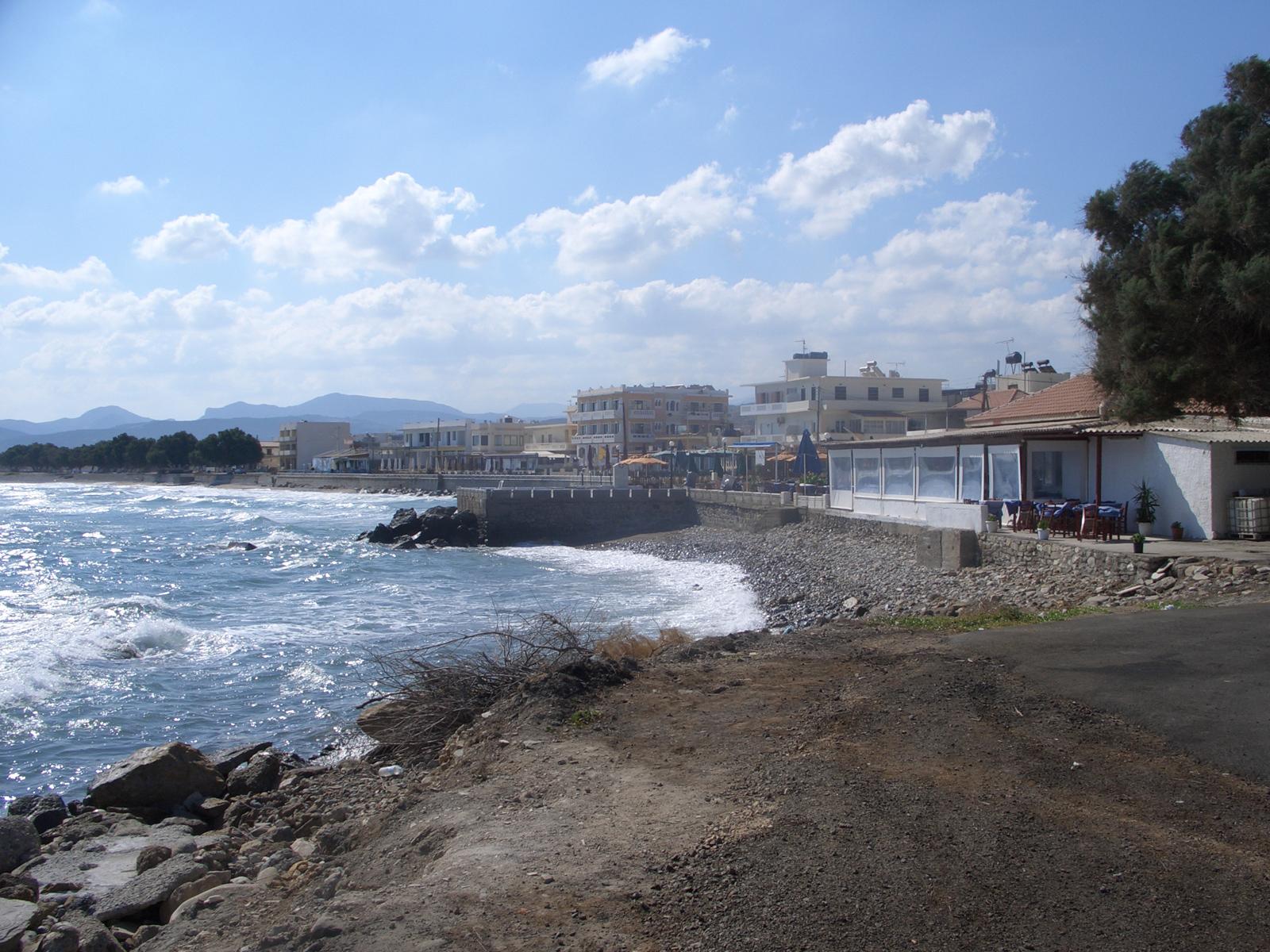
Kissamos
Kissamos, also known as Kasteli, is a town in western Crete where a museum visit, a fish lunch and a trip towards Gramvousa or Balos can belong to the same stay. Spend some time in the town itself instead of treating it only as a departure label.
Read the field guide
Ierapetra
Ierapetra is a working town on Crete’s southeastern coast, combining a small old harbour, Kales fortress and a long waterfront with the agricultural life of the surrounding district. Choose it for a south-coast base with town services and beaches rather than only as a departure point for an island excursion.
Read the field guide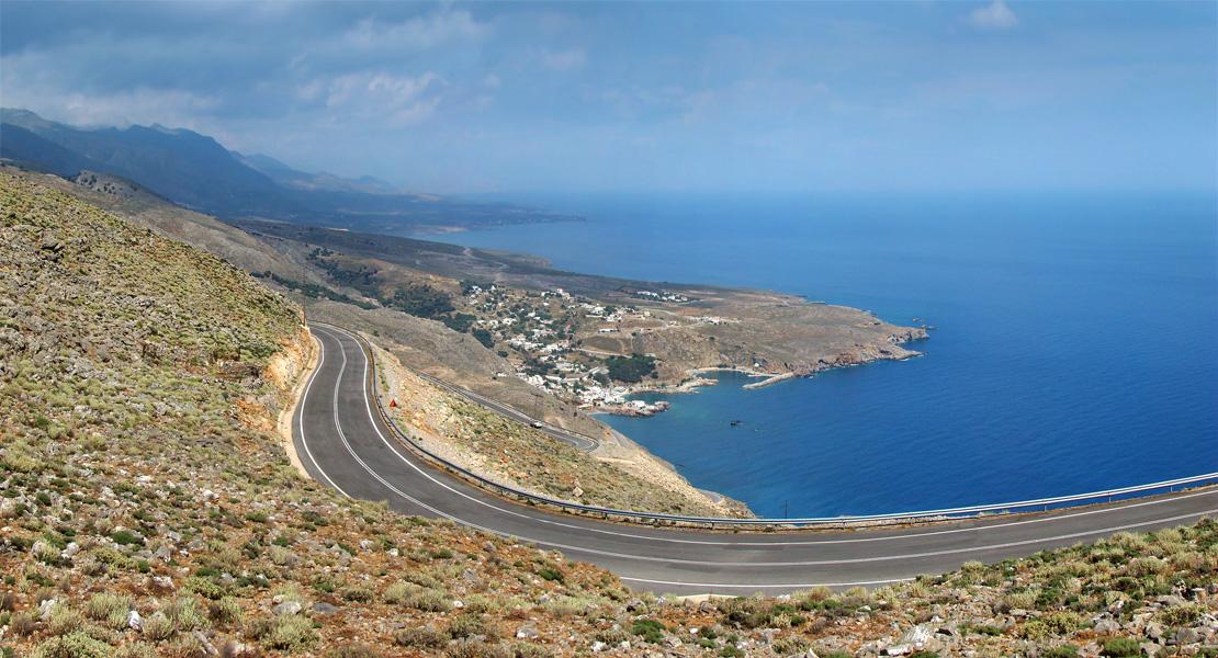
Sfakia
Hora Sfakion, usually called Sfakia in travel plans, is a road-accessible village and port on Crete’s south coast. The White Mountains rise behind it, while the harbour is a starting point for coastal journeys. Give the waterfront some time rather than treating it only as a transfer.
Read the field guide
Rhodes
Rhodes combines a living medieval city with beach resorts, vineyard villages and a mountainous interior. Choose it for history and varied days out; the whole island is much larger than the compact streets of its Old Town.
Read the field guide
Kos
Kos is an island for combining archaeology, coastal cycling and long beach days. Its main town brings ancient remains and Italian-era streets together, while the western end offers a different landscape around Kefalos.
Read the field guide
Patmos
Patmos is shaped by its hilltop Chora, the Monastery of Saint John and a coastline of small bays. It suits slow village walks, religious heritage and swims between excursions, with a lively arrival point at Skala.
Read the field guide
Symi
Symi’s first impression is architectural: coloured houses rise steeply above Gialos harbour. Behind the waterfront are upper-village lanes, walking routes and a rugged coast. This is a good choice for a small-scale stay with swims and long evenings by the water.
Read the field guide
Karpathos
Karpathos is a long, mountainous island between Rhodes and Crete. Its coast, exposed ridges and traditional villages make it especially rewarding for travellers who enjoy walking and exploring beyond a resort. Wind is part of the island’s character, particularly in the south.
Read the field guide
Leros
Leros is a quieter Dodecanese choice, with sheltered-looking bays, low hills and an unusually varied architectural history. Its settlements offer different experiences: fishing-village evenings, a castle above the rooftops and the distinctive planned streets of Lakki.
Read the field guide
Kalymnos
Kalymnos brings a working maritime identity together with limestone climbing landscapes. Pothia’s harbour and sponge-diving heritage give the island a character distinct from a purpose-built resort, while the western coast opens views towards Telendos.
Read the field guide
Corfu
Corfu pairs a historic town with olive-covered countryside and a long, varied coastline. Venetian, French and British influences are visible in the capital, while inland villages and beach bases offer a different pace.
Read the field guide
Kefalonia
Kefalonia is a large Ionian island of mountain scenery, striking beaches and distinct harbour towns. Argostoli, Sami and the northern villages each make a different base; crossing between them is part of the trip rather than a quick urban transfer.
Read the field guide
Zakynthos
Zakynthos combines fertile countryside, sandy resort coasts and a much more rugged cliff-and-cave shoreline. Zante is another name for the same island. Its towns and villages offer a quieter side alongside the best-known nightlife areas.
Read the field guide
Lefkada
Lefkada combines dramatic western beaches with a more sheltered-looking eastern sailing coast and inland villages. It is connected to mainland Greece by a bridge, so reaching the island does not require a ferry.
Read the field guide
Ithaca
Ithaca is an island of wooded bays, small villages and a strong association with the Odyssey. It suits travellers who enjoy quiet waterfront evenings and modest excursions more than a large resort scene.
Read the field guide
Paxos
Paxos is a small Ionian island of olive groves, compact harbours and a rugged western coast. It suits a slower holiday built around villages, swimming and meals by the water rather than a long checklist of monuments.
Read the field guide
Aegina
Aegina combines a working harbour, ancient temples and pistachio orchards close to Athens. It works for a short break, but staying overnight gives you time to leave the waterfront and explore the island’s different coastal villages.
Read the field guide
Hydra
Hydra is built around a harbour of stone mansions, fishing boats and steep lanes. Its visitor experience is shaped by walking and sea transport: there is no ordinary car-based holiday here. Pack for carrying luggage and take the accommodation’s approach seriously.
Read the field guide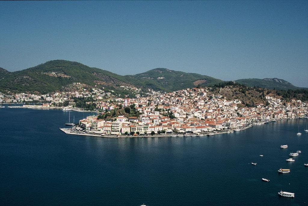
Poros
Poros offers a hilltop town, a busy waterfront and pine-covered coastal scenery, with the Peloponnese just across a narrow channel. The town is compact enough for leisurely wandering, while the larger island landscape gives you beaches and countryside beyond the quay.
Read the field guide
Spetses
Spetses combines captains’ houses, a historic harbour and pine-fringed coastal scenery. Dapia is the natural starting point, with the Old Harbour providing a longer waterfront walk and a different evening setting. The island rewards slowing down between these two focal points.
Read the field guide
Skiathos
Skiathos brings together a lively harbour town, pine-backed beaches and connections to the other Northern Sporades. Its town gives you restaurants and evening life, while the southern coast offers a sequence of beach bases with very different daily rhythms.
Read the field guide
Skopelos
Skopelos lies between Skiathos and Alonissos. Pine-covered slopes meet the coast, while the main town climbs above its harbour in a close pattern of lanes, churches and traditional houses. It is a good choice for combining swimming with village life.
Read the field guide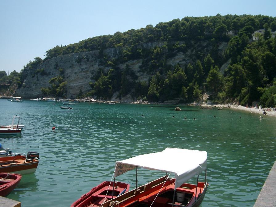
Alonissos
Alonissos is a good fit for travellers who want wooded coastlines, village evenings and time around the sea. Patitiri is the working arrival point, while the old hilltop settlement offers a different atmosphere above the harbour. The surrounding protected marine landscape is a central part of the island’s identity.
Read the field guide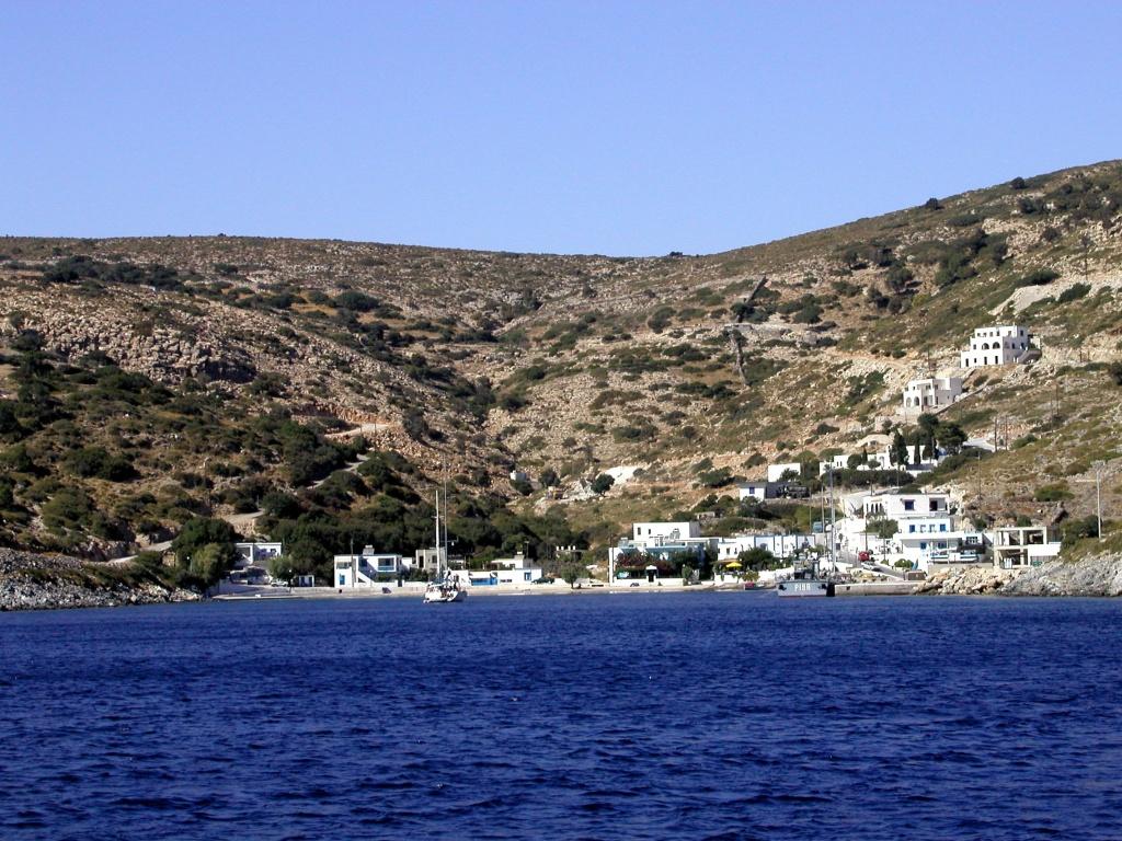
Agathonisi
Agathonisi lies south of Samos at the northern edge of the Dodecanese. Arrive at Agios Georgios and the scale of the island becomes clear: a sheltered harbour, village lanes above the water and small bays that reward an unhurried stay.
Read the field guide Trikeri and Pelion coast overview
Agia Kyriaki
Agia Kyriaki is the fishing settlement beneath Trikeri, at the southern tip of the Pelion peninsula. Boats, a working shipyard and waterfront tavernas give it a maritime character. A slow harbour walk and a meal beside the water are good reasons to spend time here.
Read the field guide Area near Agiokampos
Agiokampos
Agiokampos in northern Evia combines a small ferry gateway with a seaside village and beach. It is useful for arriving from Glyfa on the mainland, then slowing down by the water or continuing towards Edipsos and the north coast.
Read the field guide
Agios Efstratios
Agios Efstratios, usually called Ai Stratis, is a North Aegean island for quiet coastal days and an encounter with modern Greek history. Its single settlement gathers everyday life around the harbour, with a beach close enough to make a swim part of an ordinary morning.
Read the field guide Area near Agios Konstantinos
Agios Konstantinos
Agios Konstantinos in Fthiotida is a mainland seaside town beside the North Euboean Gulf, with Mount Knimis behind it. The waterfront, shade around Agios Nikolaos square and the nearby coast give you a place to pause between road and sea journeys.
Read the field guide
Agistri
Agistri is a small Saronic island where pine-covered hills meet the coast. Its appeal is a day shaped around swimming, a village walk and a meal beside the water, with time to slow down after the crossing from Piraeus.
Read the field guide Area near Alexandroupoli
Alexandroupoli
Alexandroupoli is a lively Thracian port city with a long seafront, a landmark lighthouse and museums that reward more than an overnight ferry stop. It works as a base for the western beaches, regional culture and a carefully arranged visit to the Evros wetlands.
Read the field guide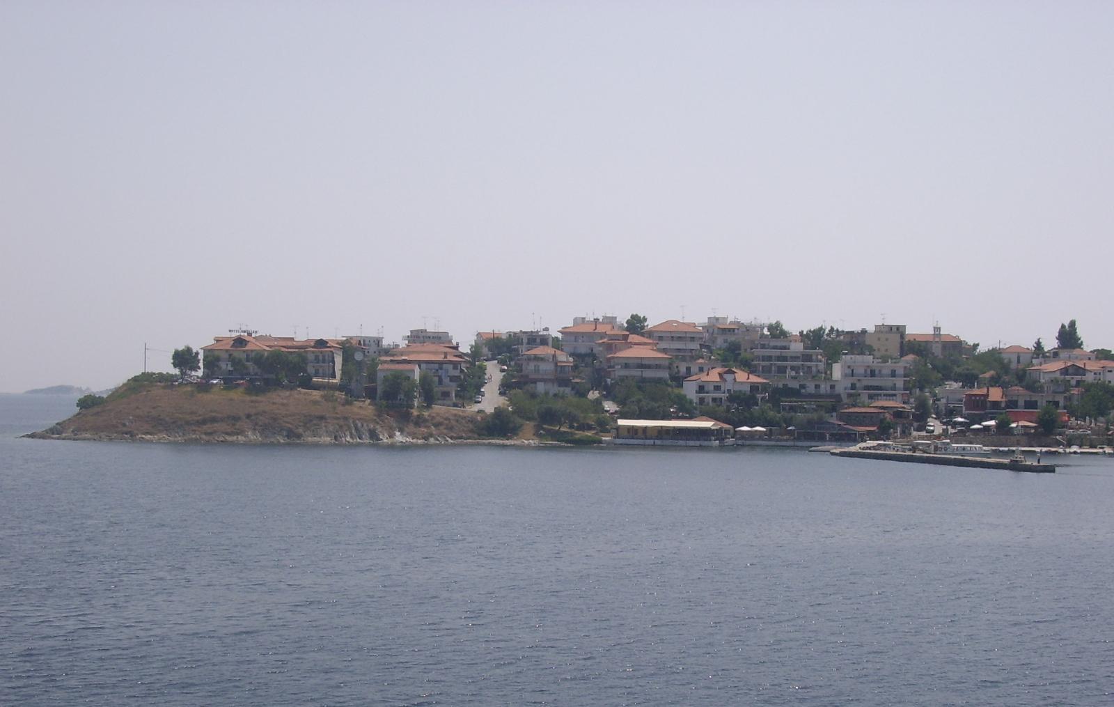
Ammouliani
Ammouliani is a small inhabited island off eastern Halkidiki, reached by ferry from Tripiti. A compact harbour village, low hills and a choice of beaches make it a natural place for a stay centred on the sea.
Read the field guide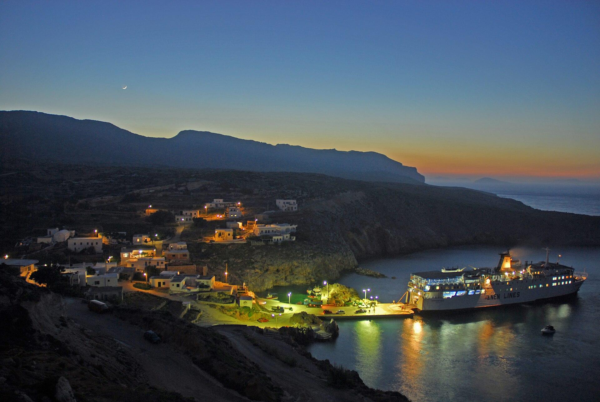
Antikythera
Antikythera lies between Kythera and Crete, with a small community and an exposed island landscape. Potamos is its main settlement and port. Its archaeological importance includes the famous shipwreck, while its position makes it a significant place for the study of bird migration.
Read the field guide
Argostoli
Argostoli is Kefalonia’s capital and a useful base for a town-focused stay. The waterfront, Lithostroto shopping street and Vallianou Square provide everyday city life, with Koutavos lagoon and the De Bosset bridge adding an immediate change of landscape.
Read the field guide
Arki
Arki, also written Arkoi or Arkioi, is a small inhabited island northeast of Patmos. Its appeal is a harbour settlement, simple meals and coastal outings, rather than a long checklist of attractions. Give yourself time to sit by the water and watch the boats come and go.
Read the field guide
Arkitsa
Arkitsa is a seaside settlement in Fthiotida, on the mainland shore of the North Euboean Gulf. Ferries to Loutra Edipsou make it a useful gateway to northern Evia, while its beaches and waterfront tavernas give you a reason to stop before crossing.
Read the field guide
Astakos
Astakos is a mainland harbour town on the coast of Aetolia-Acarnania, with the Ionian Sea in front and the slopes of Veloutsa behind. Fishing boats, older houses and the waterfront give it an island-like atmosphere without requiring a sea crossing to reach it.
Read the field guide
Astypalea
Astypalea belongs to the Dodecanese, with a white hillside Chora, a Venetian castle and a narrow strip of land joining its two wings. It rewards a stay that mixes village evenings with one beach or countryside outing each day.
Read the field guide
Athens
Athens works best when its ancient monuments and everyday neighbourhoods share the itinerary. Walk below the Acropolis, pause in a residential square and leave an evening for the city’s food and music. The centre rewards several days, even when an island ferry is the reason you first arrive.
Read the field guide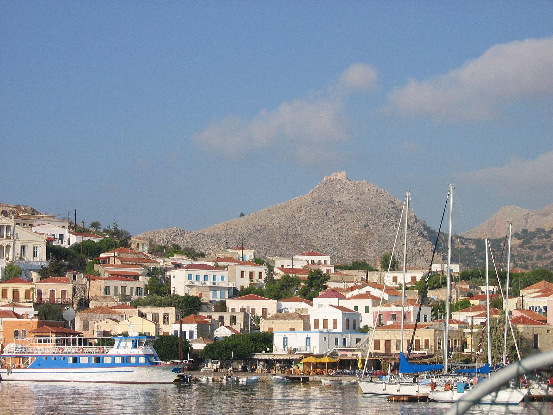
Chalki/Halki
Chalki, also written Halki, lies west of Rhodes and offers a compact harbour settlement framed by colourful houses and a dry island interior. It suits slow mornings, a chosen beach and an evening meal back by the water.
Read the field guide
Chios
Chios rewards a trip built around contrasting parts of the island: a working waterfront in town, walled citrus estates in Kampos, mastic villages in the south and quieter coastal journeys in the north. It suits travellers who want food and architecture alongside swimming.
Read the field guide Fourni Korseon area overview
Chrisomilia, Fournoi
Chrisomilia belongs to the northern part of Fourni island. Its upper village and the fishing harbour below offer two different ways to experience the same small place: hillside views and a waterfront where the day can revolve around the beach.
Read the field guide
Crete
Crete combines major cities, Minoan archaeology, mountains and very different coasts across Greece's largest island. It supports a long holiday, but it is better approached through a few chosen areas than a single base expected to reach every landmark comfortably. Build time for the food, villages and landscape between the better-known sights.
Read the field guide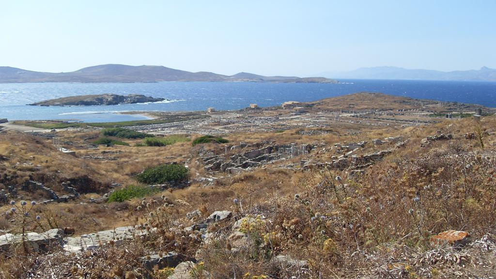
Delos
Delos is a visit to an archaeological island, with an ancient sanctuary, streets, houses and mosaics set within an open Cycladic landscape. Its importance reaches beyond the myth of Apollo and Artemis: the remains also reveal a Mediterranean trading community with many cultures and beliefs.
Read the field guideKarpathos area overviewDiafani
Diafani is a harbour village in northern Karpathos and a convenient base for discovering this end of the island. The waterfront, pebble beaches and small-scale accommodation give it a different rhythm from Pigadia, the island's capital and other principal port.
Read the field guide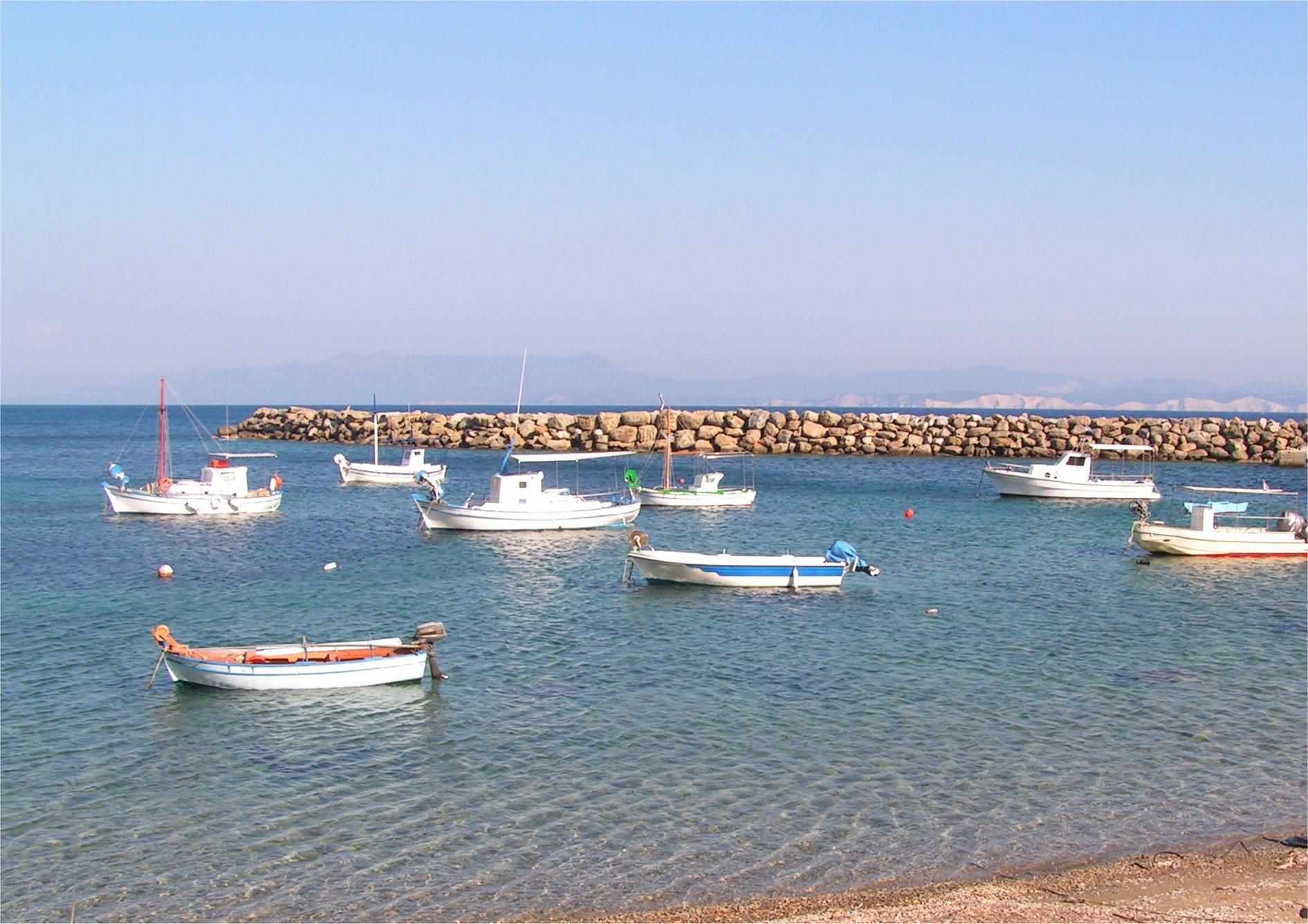 Ereikoussa island — Porto harbour overview
Ereikoussa
Ereikoussa is a green, gently rounded island northwest of Corfu, part of the Diapontia group. Its main settlement and sandy southern shore are concentrated around Porto, so a stay can be shaped around the beach, village lanes and walks into the wooded interior.
Read the field guide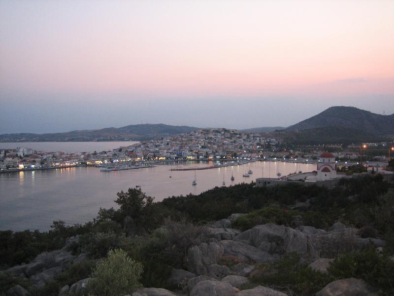
Ermioni
Ermioni is a mainland town with the close-packed feel of an island settlement: two waterfronts, narrow residential lanes and a pine-covered headland at the eastern end. It makes a good base for a holiday that combines harbour evenings, swims and the wider Ermionida countryside.
Read the field guide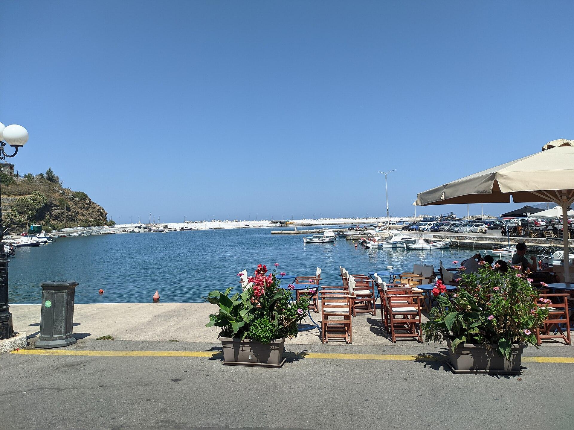
Evdilos
Evdilos climbs above a small harbour on Ikaria’s north coast. Cafés and tavernas line the waterfront, while lanes lead uphill between older houses. It works both as a ferry arrival point and as a base for the villages and beaches of northern Ikaria.
Read the field guide
Evia
Evia combines an island coastline with road access through Chalkida's bridges. Its size and varied landscape support very different stays: the Euripus waterfront, northern thermal and coastal towns, the archaeological setting of Eretria or the mountains and bays around Karystos in the south.
Read the field guide Area near Faneromeni
Faneromeni
Faneromeni is a pine-fringed part of northwestern Salamina, with a monastery, a literary memorial and a ferry connection across the narrow stretch of sea to western Attica. It suits an outing built around landscape and cultural stops rather than a stay in the island's main town.
Read the field guide
Fiskardo
Fiskardo is a northern Kefalonia harbour village in the Erisos area, with waterfront houses, narrow streets and a strong boating character. It retained much of its older architecture when many other island settlements were badly damaged in the 1953 earthquakes.
Read the field guideFourni Korseon
Fourni Korseon is an archipelago between Samos and Ikaria. Use this overview to choose between the main Fourni island, a stay around northern Chrisomilia and the separate island of Thymaina, then open the local guide for the details of each base.
Read the field guide Area near Fourni
Fourni
Fourni is the largest island of the Fourni Korseon group, between Ikaria and Samos. Its harbour town, fishing boats and deeply indented coast make it a good base for a few days of swimming, village walks and long meals by the water.
Read the field guide
Glossa (Skopelos)
Glossa is the hill village above Loutraki on northwestern Skopelos. Terracotta roofs, wooden balconies and steep lanes give it a different feel from the waterfront settlement below. Keep both names in mind: a ferry ticket for Glossa normally means the harbour at Loutraki, not a landing in the upper village.
Read the field guide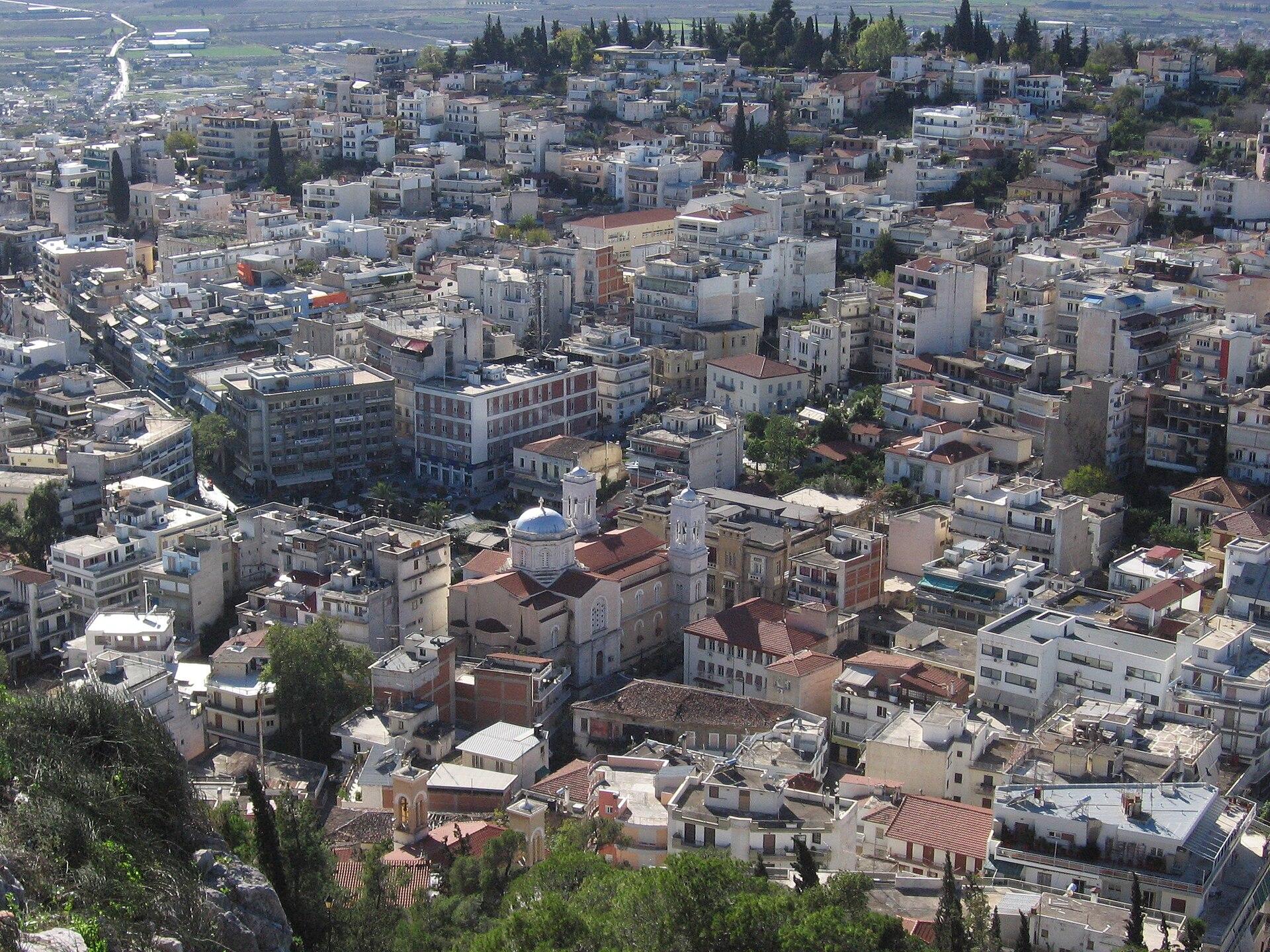 Phthiotis regional overview — Lamia
Glyfa
Glyfa in Fthiotida is a mainland seaside village and the ferry gateway to Agiokampos in northern Evia. You can use it for a crossing, or stay for a slower day of swimming, waterfront coffee and an evening meal.
Read the field guideCrete area overviewGlyka Nera Beach
Glyka Nera, or Sweet Water Beach, lies on Crete’s south coast between Hora Sfakion and Loutro. Pebbles, blue water and steep coastal land give it a very different setting from a beach beside a road. Its name refers to freshwater emerging through the shore.
Read the field guide
Gythio
Gythio is a working coastal town in Laconia, with a neoclassical waterfront and the Mani peninsula within reach. It makes a good base for a harbour stroll, a long beach day and a separate drive into the stone-built settlements farther south.
Read the field guide
Igoumenitsa
Igoumenitsa is a mainland town in Thesprotia, on the Ionian coast of Epirus. Its ferry connections make it a gateway, but a stay also leaves time for archaeology, the waterfront and a beach outside the working harbour.
Read the field guide
Ikaria
Ikaria brings together mountain villages, wooded valleys, exposed sandy beaches and a strong tradition of village celebrations. Its landscape rewards time: the two ferry ports sit on different coasts, and an apparently short crossing of the island can mean a winding mountain drive.
Read the field guide Samos area overview
Karlovassi
Karlovasi is a northwestern Samos town with a working ferry harbour, university life and a striking industrial past. Old warehouses and tannery buildings sit alongside neoclassical houses, while older neighbourhoods rise away from the coast.
Read the field guide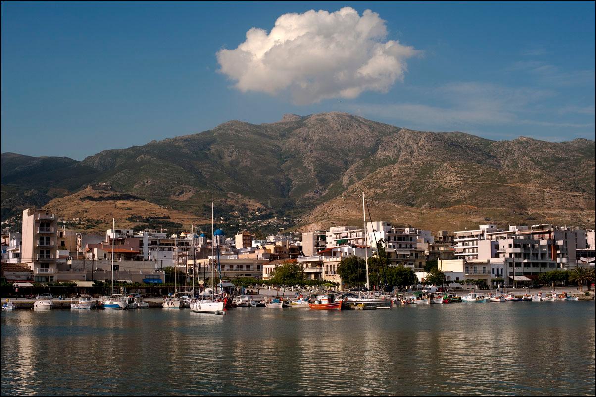
Karystos
Karystos sits at the southern end of Evia, where a broad seaside town meets the foothills of Mount Ochi. Its harbour promenade, neoclassical streets and nearby beaches make an easy first introduction; the mountain villages and wild eastern coast reward a longer stay.
Read the field guide
Kasos
Kasos lies between Crete and Karpathos, with a strong seafaring history, five villages and a food tradition that is part of everyday island life. It suits a stay built around village visits, a beach and an unhurried meal.
Read the field guide
Kastellorizo
Kastellorizo, also called Megisti, is a small Greek island in the Dodecanese with colourful houses around its harbour and a rocky landscape beyond. A few days allow time for the village, local food and a walking route or boat outing chosen for the conditions.
Read the field guide
Kavala
Kavala wraps around a working harbour below the steep Panagia peninsula. The old town, tobacco-trading heritage and seaside neighbourhoods make it worth a stay before or after a North Aegean crossing.
Read the field guide
Korfos (Thirasia)
Korfos is Thirasia's small caldera-side harbour below Manolas, with waterfront tavernas, dark volcanic shore and views across to Santorini. Make the harbour and a local meal the centre of a short visit. Climbing to the village above adds a different perspective and a demanding uphill leg.
Read the field guide
Kyllini
Kyllini is a mainland port on the western Peloponnese, best known as a gateway to Zakynthos and Kefalonia. The surrounding area also offers a medieval castle, long beaches and the wooded coast around the historic thermal springs.
Read the field guide
Kymi
Kymi combines a hillside town with a working Aegean port on Evia’s eastern coast. Red-tiled roofs, older mansions and sea-facing views reflect its maritime past, while the lower waterfront gives the journey a different rhythm.
Read the field guide
Kythera
Kythera, also written Kythira, lies south of the Peloponnese at the meeting of Ionian and Aegean routes. Give it time for village squares, coastal settlements, local baking and walks through a landscape with several different sides. Chora and its castle provide one starting point; the northern villages give another.
Read the field guide
Lagkada
Lagkada, also written Lagada, is a maritime village on the northeastern coast of Chios, built around the sheltered Kolokythia bay. Its appeal is in the waterfront, village life and view towards the Oinousses islands. It suits a local coastal outing with time for a walk and a meal beside working boats.
Read the field guide
Lavrio
Lavrio brings together a working harbour, silver-mining history and the coast of southeastern Attica. Its squares, fish market and industrial buildings give you a reason to stop before a ferry to Kea or Kythnos, rather than treating the town as a boarding point alone.
Read the field guide
Lesvos
Lesvos is an island of several distinct journeys: the waterfront city of Mytilene, northern villages beneath a castle skyline, southern olive-growing country and the volcanic west around Sigri. Choose a base for the experiences you want rather than expecting every attraction to be close to the ferry.
Read the field guide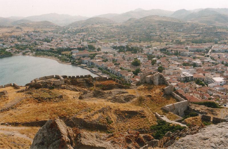
Limnos
Limnos, also written Lemnos, combines a harbour capital at Myrina with agricultural villages, archaeological sites and a striking volcanic landscape. It is an island to explore through contrasting days: town and museum, an eastern archaeological circuit, then a coast or dune outing with time for a village meal.
Read the field guide
Lipsi
Lipsi is a small Dodecanese island for a village-based holiday: swimming, coastal walks, unhurried meals and short excursions around the surrounding islets. The main settlement rises from the harbour, so the waterfront and upper lanes give two different views of the same place.
Read the field guide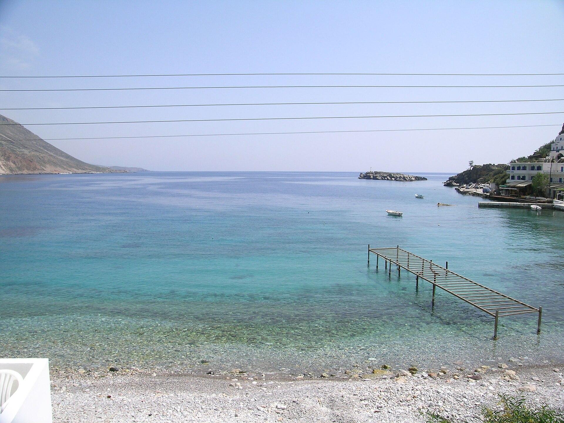
Loutro
Loutro curves around a small bay beneath the south-coast slopes of Crete. White buildings, a pebble shore and waterfront rooms make it a place to slow down between swims and meals. Boats and footpaths provide its connection with the surrounding coast.
Read the field guide
Mathraki
Mathraki is the smallest of the three inhabited Diapontia islands northwest of Corfu. Its long eastern beach, wooded paths and scattered settlements suit a stay with very little in the diary: swim, walk, eat and enjoy a different view of the sea.
Read the field guide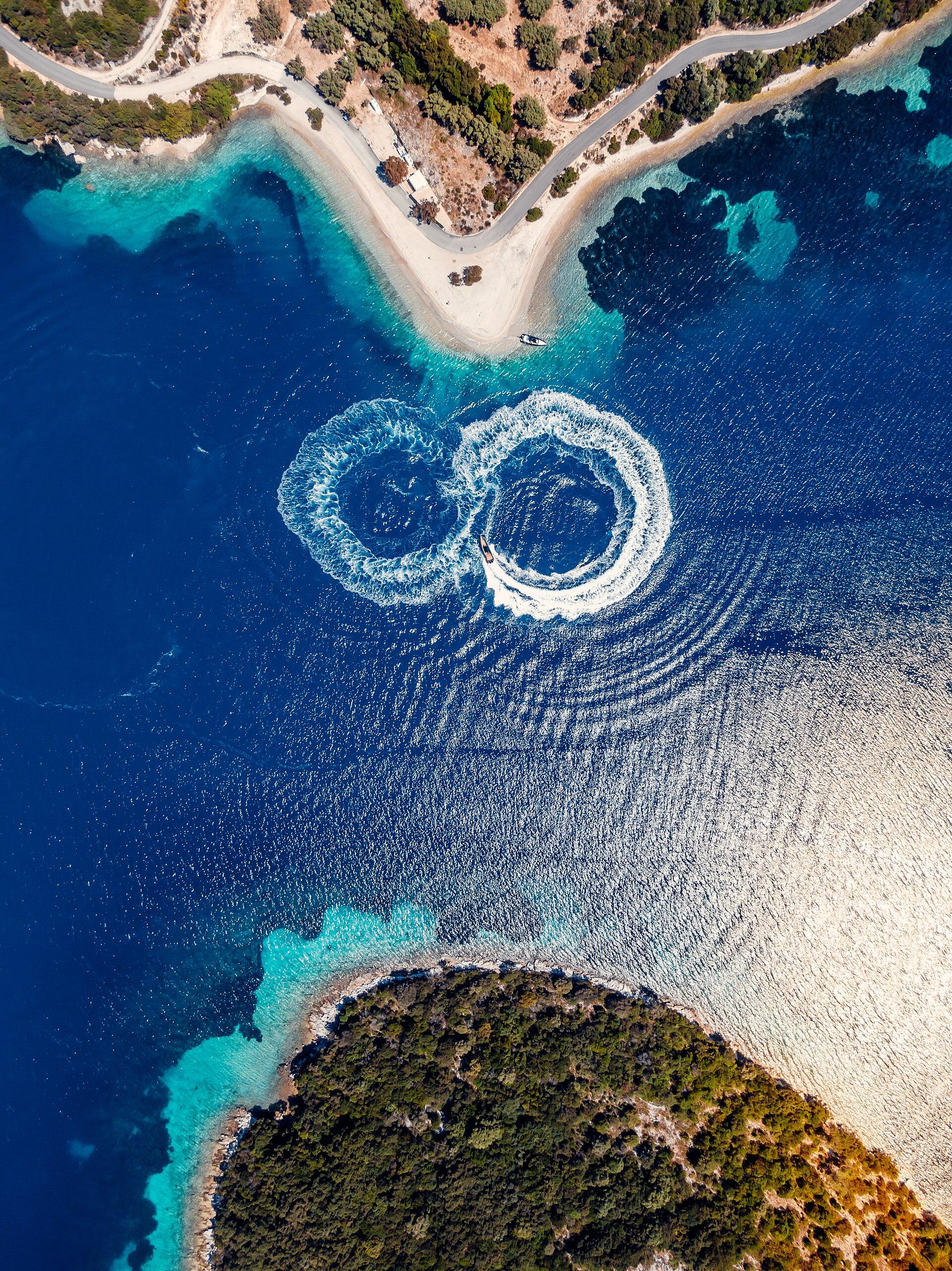
Meganisi
Meganisi lies east of Lefkada, with green hills, indented coves and three villages that give a small island plenty of variety. It suits days built around a swim, a village walk and a meal, with time left for a boat excursion when the conditions allow.
Read the field guideArea near Perama (Megara)Perama (Megara)
Perama Megaridos is the mainland ferry shore for the crossing to Faneromeni on Salamina. It belongs to the Megara area of western Attica. The similar name can cause a substantial detour: this is a different departure point from Perama near Piraeus, whose familiar Salamina crossing serves Paloukia.
Read the field guide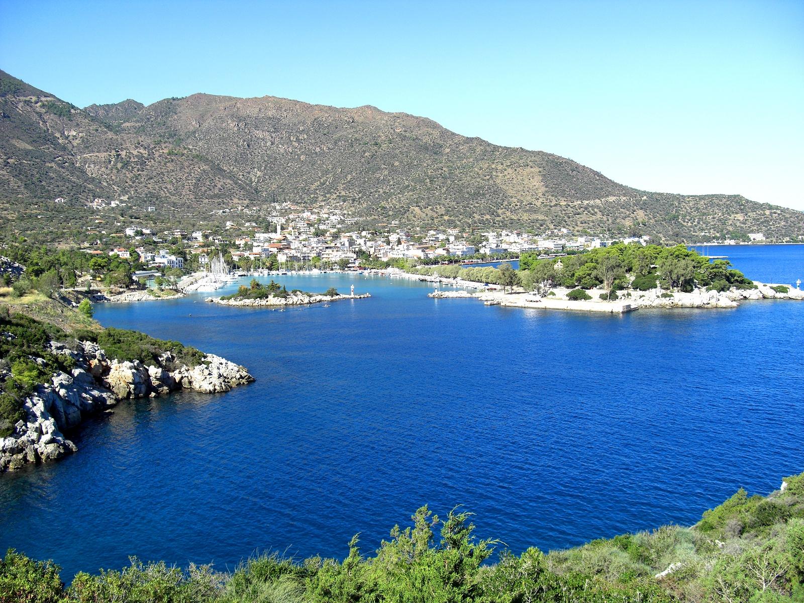
Methana
Methana is a volcanic peninsula in the northeastern Peloponnese, joined to the mainland by a narrow neck of land. Its spa-town waterfront looks across the Saronic Gulf, while inland villages, dark volcanic stone and walking paths give a stay more variety than a simple beach stop.
Read the field guide Peloponnese regional overview — Nafplio
Metochi
Metochi is a mainland departure point opposite Hydra, useful when driving through the Peloponnese and continuing to the island as a foot passenger. The ferry jetty and parking are the practical focus of this small coastal stop. Your car stays on the mainland while the next part of the trip takes place at sea.
Read the field guideMilos area overviewMilos (Pollonia port)
Pollonia is the north-eastern Milos settlement and local ferry point for neighbouring Kimolos. The village offers a beach, waterfront meals and a quieter-sized harbour setting. It is separate from Adamas, the main island port.
Read the field guide
Neapoli
Neapoli, also called Neapolis Voion, is the seafront town of Vatika in southern Laconia. It faces the bay between Elafonisos and the Cape Maleas peninsula, with a long town beach, a working ferry quay and older streets climbing above the waterfront.
Read the field guide
Nisyros
Nisyros is a volcanic island in the Dodecanese where the caldera, stone-built villages and dark shores give each day a different focus. Staying overnight lets you enjoy Mandraki after a sightseeing outing and visit the interior at a slower pace.
Read the field guide
Northern Greece
Northern Greece offers a mainland journey through cities, archaeology and the northern Aegean coast. Thessaloniki, Kavala and Alexandroupoli make useful starting points, each with a different urban setting and onward travel choices. Choose a part of Greek Macedonia or Thrace as the first base rather than expecting one room to cover the whole area.
Read the field guide
Oinousses
Oinousses brings a strong maritime identity to a small island stay beside Chios. The harbour, hillside houses and seafaring museum make a satisfying first circuit, followed by a swim or a meal with time to spare.
Read the field guide
Othoni
Othonoi is the largest of the inhabited Diapontia islands, northwest of Corfu. Ammos gives the first seaside impression, but the island also has hill villages, old paths and a rugged coastline that deserves more than one hurried boat stop.
Read the field guideParos area overviewParos (Pounta port)
Pounta port on the west coast of Paros is the local ferry gateway to Antiparos. It is a practical crossing point facing the neighbouring island, with a different role from Parikia, where the main island ferries arrive.
Read the field guide Local overview of Patras
Patras
Patras is a Peloponnesian city with a lively centre, an upper town and a major Adriatic ferry port. A stop here can include archaeology, a climb towards the castle and time in the pedestrian streets around the central squares.
Read the field guide
Piraeus
Piraeus is a working port city with several very different waterfronts. The main passenger harbour handles island departures, while Zea and Mikrolimano invite a slower walk beside smaller boats. Give the city some time before sailing and you can add museums, neighbourhood cafés and a seafood meal to the journey.
Read the field guide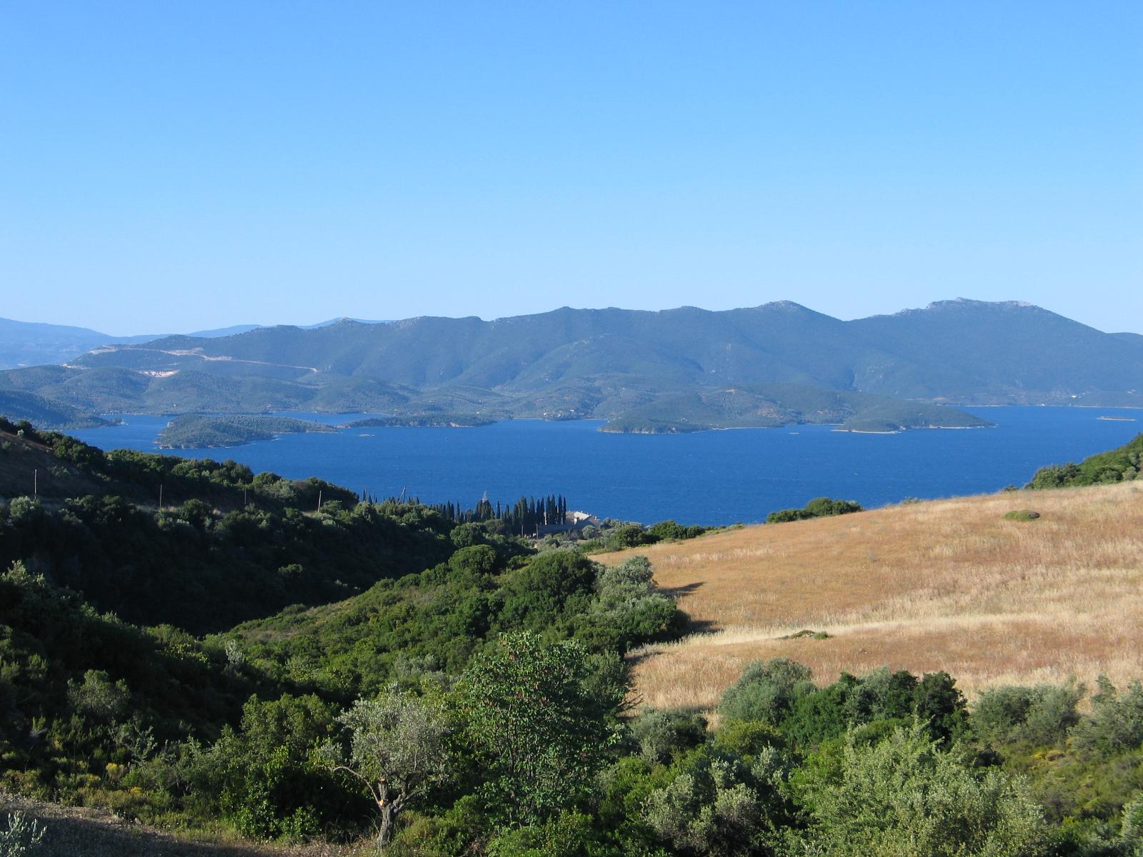 Area overview: Pelion
Platania, Magnesia (Pelion)
Platanias in Magnesia is the fishing and coastal settlement below Promyri in southern Pelion. Olive-covered slopes, a small harbour and a seaside village setting make it a base for slow coastal days and excursions into the peninsula.
Read the field guide Area overview: Argolis
Porto Heli
Porto Heli curves around a natural harbour in southern Argolida, with a long waterfront, moored yachts and beaches spread along the neighbouring coast. It suits a holiday with a comfortable seaside base, unhurried meals and short road excursions rather than a race between islands.
Read the field guide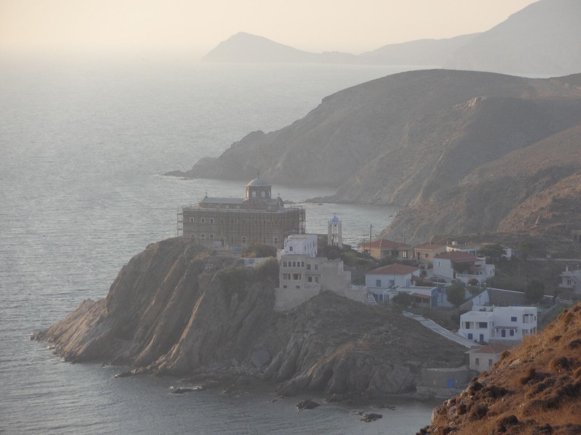
Psara
Psara is a small island west of Chios where maritime history, an open coastal landscape and village life shape the visit. It suits a few unhurried days of swimming, walking and local food, with the ferry timetable forming the edges of the plan.
Read the field guide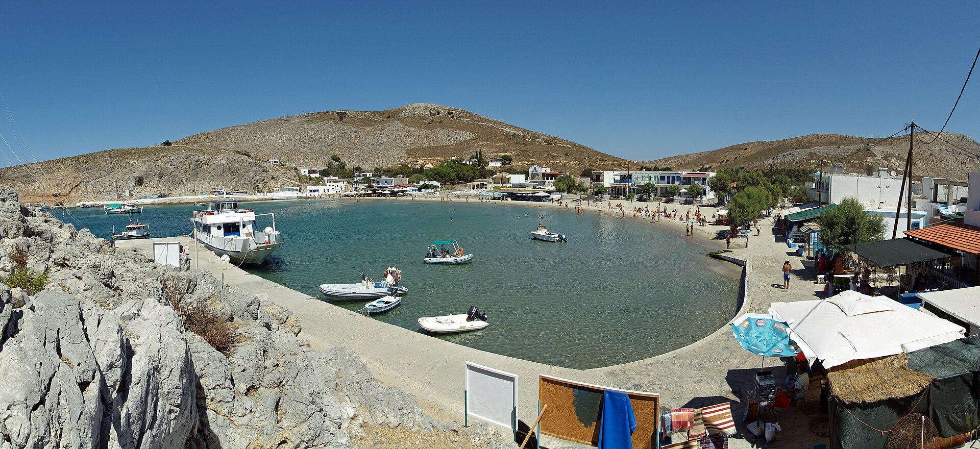
Pserimos
Pserimos is a small island between Kalymnos and Kos, with village life gathered around Avlakia and its sandy bay. A day visit can combine swimming with lunch, while an overnight stay gives you time to see the waterfront after excursion boats leave.
Read the field guide
Pythagorio
Pythagorio brings an ancient harbour town into an easy waterfront setting, with fishing boats, cafés and archaeological discoveries close together. It is one of the most convenient Samos bases for combining culture, the sea and access to the airport.
Read the field guide
Rafina
Rafina is a coastal town in eastern Attica where a ferry connection can become an enjoyable overnight stop. Its harbour, nearby beaches and small streets make a very different base from central Athens. Stay here when the actual departure is Rafina, or when you want time on the eastern coast before continuing your trip.
Read the field guideSamos
Samos combines wooded slopes, vineyard villages and ancient sites with several very different coastal bases. The mountains of Kerkis in the west and Ampelos in the centre give the island a landscape quite unlike the open, dry scenery of many Cycladic islands.
Read the field guide
Samothraki
Samothraki combines a mountain interior, wooded streams and an ancient sanctuary with a coast that often feels rugged rather than resort-like. Give the island several days if you want both village time and outdoor exploration.
Read the field guide Area near Santorini (Thira) — Ammoudi
Santorini (Thira) — Ammoudi
Ammoudi is the small caldera-side harbour below Oia on Santorini, with a working waterfront and a dramatic cliff setting. It can be a local shore visit or the departure point for a specifically booked boat connection. It is a different place from Athinios, the island's main ferry port, and from the old harbour below Fira.
Read the field guide Area near Sigri
Sigri
Sigri is a small seaside base at the western end of Lesvos, where the island's geological history becomes the main reason to linger. Come for the fossil sites and coastal landscape, with time left for an unhurried village evening.
Read the field guide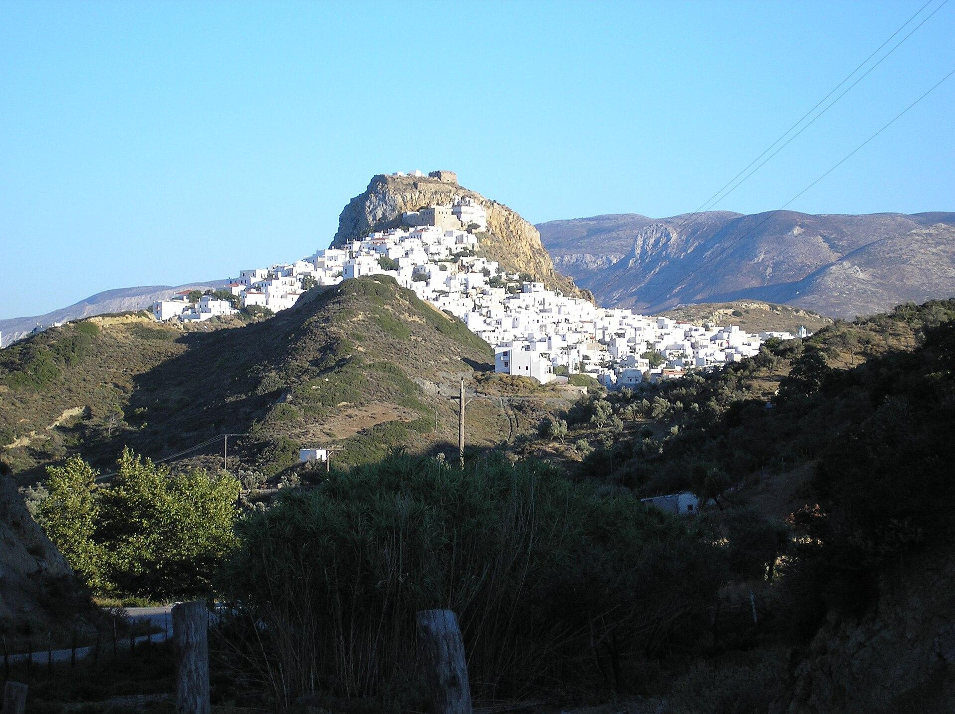
Skyros
Skyros combines the white houses of Chora with broad beaches, a greener northern landscape and a rugged southern interior. Its carved wooden furniture, ceramics, embroidered textiles and small native horses give the island a character that goes well beyond a seaside holiday.
Read the field guide
Thessaloniki
Thessaloniki combines a long waterfront, a dense city centre and layers of Roman, early Christian and Byzantine history. Give it time for a museum, neighbourhood walks and the pastries and shared plates that are part of local life.
Read the field guideFourni Korseon area overviewThymaina
Thymaina lies west of the main Fourni island and offers a smaller, quieter base within the same archipelago. Start with the harbour village, take a walk towards Keramidou and allow the boat timetable to set the pace of a visit.
Read the field guide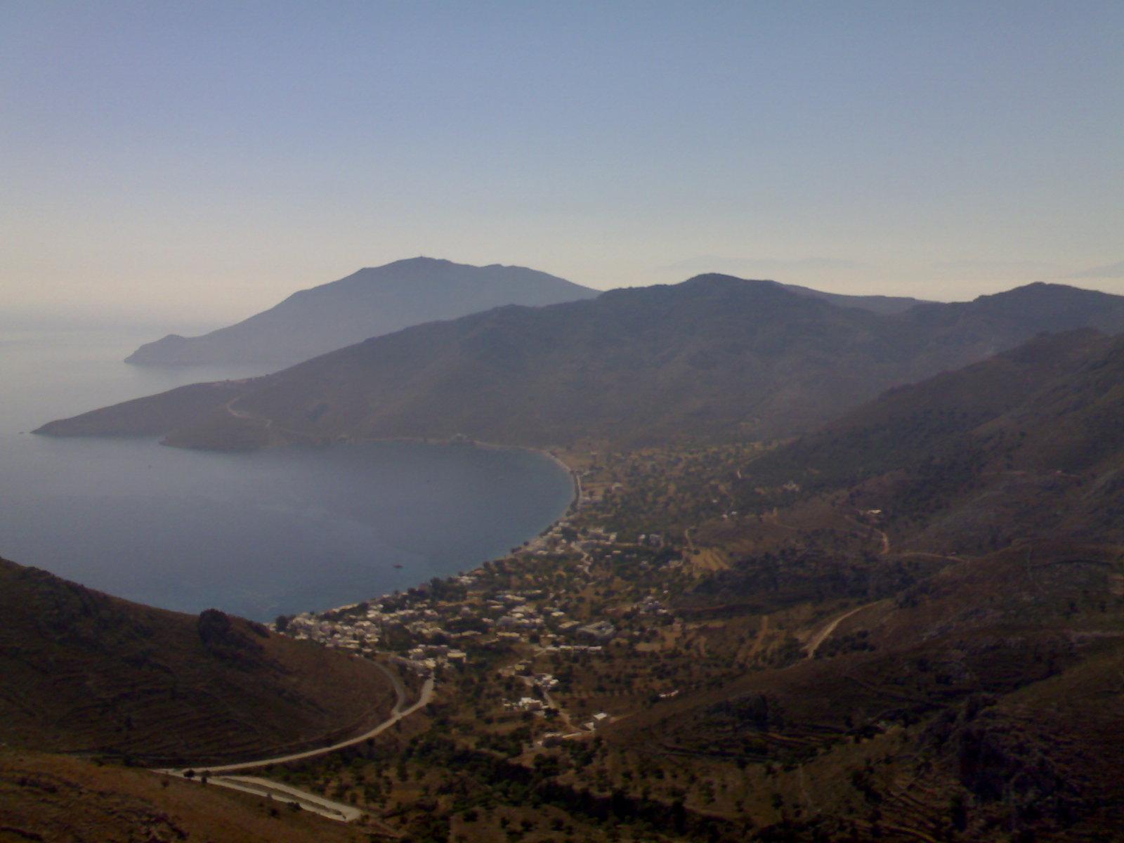
Tilos
Tilos is a Dodecanese island for village walks, quiet coastlines and an interest in nature. A stay here can move between the port at Livadia, the hill village of Megalo Chorio and a beach or walking route chosen for the day.
Read the field guideTrikeri
Trikeri crowns a hill at the southern end of Pelion, above the fishing settlement of Agia Kyriaki. Its captains’ houses, churches and narrow lanes reflect a community whose history reaches out to the sea. The views bring together mountain slopes and the waters around the peninsula.
Read the field guide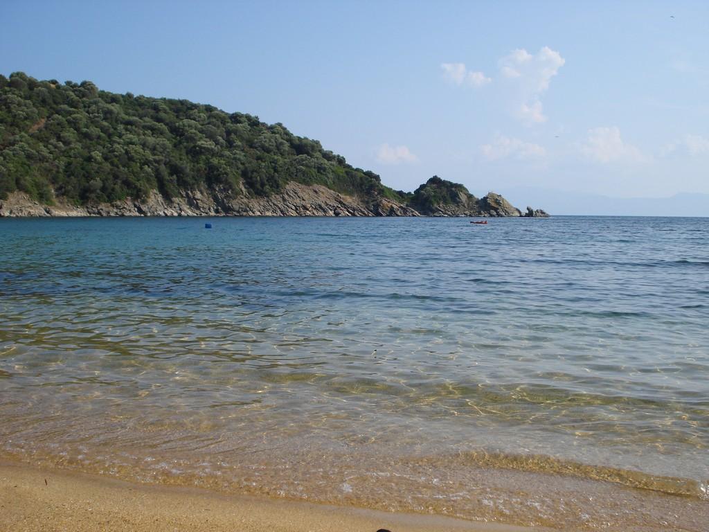 Area overview: Halkidiki
Trypiti
Trypiti is the mainland embarkation point for Ammouliani in eastern Halkidiki, between Nea Roda and Ouranoupoli. Plan a coastal stay around the crossing, or use the harbour for an island outing during a mainland holiday.
Read the field guide
Vasiliki
Vasiliki sits around a harbour and a broad bay in southern Lefkada. Its shoreline reaches towards Ponti, where windsurfing is central to the holiday scene. Come for a seaside base with a distinct sporting rhythm, rather than expecting the island capital beside your room.
Read the field guide
Volos
Volos brings together a waterfront city, tsipouro tavernas and access to Pelion. Spend time on the Pagasetic Gulf, explore a museum and give a separate day to a mountain village or coast beyond the city.
Read the field guide
Western Greece
Western Greece brings together Achaia, Ilia and Aetolia-Acarnania, with Patras as the regional capital. It combines a major sea gateway with Olympia, coastal plains, mountains and lagoon landscapes. Choose the part of the region that fits the stay rather than expecting a single waterfront base to reach everything comfortably.
Read the field guidePhoto credits105
- Depicts: Heraklion
- Depicts: Chania
- Depicts: Rethymno
- Depicts: Agios Nikolaos
- Depicts: Elounda
- Depicts: SitiaSitia (30). Author: stephanemat. Credit: Own work. License: CC BY-SA 3.0 (https://creativecommons.org/licenses/by-sa/3.0). Source: https://commons.wikimedia.org/wiki/File:Sitia_(30).jpgCropped to fit the display.
- Depicts: Kissamos2339 kissamos-kastelli. Author: Martin Belam from Chania, Crete. Credit: 2339_kissamos-kastelli. License: CC BY-SA 2.0 (https://creativecommons.org/licenses/by-sa/2.0). Source: https://commons.wikimedia.org/wiki/File:2339_kissamos-kastelli.jpgCropped to fit the display.
- Depicts: Ierapetra
- Depicts: SfakiaCrete Sfakia4 tango7174. Author: Tango7174. Credit: Own work. License: CC BY-SA 4.0 (https://creativecommons.org/licenses/by-sa/4.0). Source: https://commons.wikimedia.org/wiki/File:Crete_Sfakia4_tango7174.jpgCropped to fit the display.
- Depicts: Rhodes
- Depicts: Kos
- Depicts: Patmos
- Depicts: Symi
- Depicts: Karpathos
- Depicts: Leros
- Depicts: Kalymnos
- Depicts: Corfu
- Depicts: Kefalonia
- Depicts: Zakynthos
- Depicts: Lefkada
- Depicts: Ithaca
- Depicts: Paxos
- Depicts: Aegina
- Depicts: Hydra
- Depicts: PorosPoros aerial viw. Author: Agnee. Credit: Flickr : Poros 9. License: CC BY 2.0 (https://creativecommons.org/licenses/by/2.0). Source: https://commons.wikimedia.org/wiki/File:Poros_aerial_viw.jpgCropped to fit the display.
- Depicts: Spetses
- Depicts: Skiathos
- Depicts: Skopelos
- Depicts: AlonissosNo machine-readable author provided. Icarus83 assumed (based on copyright claims).Wikimedia CommonsPublic domainAlonissos2. Author: No machine-readable author provided. Icarus83 assumed (based on copyright claims).. Credit: No machine-readable source provided. Own work assumed (based on copyright claims).. License: Public domain (https://creativecommons.org/publicdomain/mark/1.0/). Source: https://commons.wikimedia.org/wiki/File:Alonissos2.JPG
- Depicts: AgathonisiP9147967 Agathonisi. Author: HHHoffmann (Hans-Heinrich Hoffmann) at de.wikipedia. Credit: Self-photographed. License: CC BY-SA 3.0 (https://creativecommons.org/licenses/by-sa/3.0/). Source: https://commons.wikimedia.org/wiki/File:P9147967_Agathonisi.jpgCropped to fit the display.
- Area image: Town and lighthouse of Trikeri on the Pelion peninsula, taken from the ferry to Volos — Trikeri and Pelion coast overviewTrikeri lighthouse. Author: Kognos. Credit: Own work. License: CC BY-SA 4.0 (https://creativecommons.org/licenses/by-sa/4.0). Source: https://commons.wikimedia.org/wiki/File:Trikeri_lighthouse.jpgCropped to fit the display.
- Area image: Αγιόκαμπος Εύβοια — Area near AgiokamposΑγιόκαμπος Εύβοια - panoramio. Author: EntaXoyas. Credit: https://web.archive.org/web/20161029101635/http://www.panoramio.com/photo/90918889. License: CC BY-SA 3.0 (https://creativecommons.org/licenses/by-sa/3.0). Source: https://commons.wikimedia.org/wiki/File:%CE%91%CE%B3%CE%B9%CF%8C%CE%BA%CE%B1%CE%BC%CF%80%CE%BF%CF%82_%CE%95%CF%8D%CE%B2%CE%BF%CE%B9%CE%B1_-_panoramio.jpgCropped to fit the display.
- Depicts: Agios EfstratiosAgios Efstratios. Author: Athanasios lampridis. Credit: Own work. License: CC BY-SA 4.0 (https://creativecommons.org/licenses/by-sa/4.0). Source: https://commons.wikimedia.org/wiki/File:Agios_Efstratios.jpgCropped to fit the display.
- Area image: Άγιος Κωνσταντίνος — Area near Agios Konstantinos.Άγιος Κωνσταντίνος - panoramio. Author: Dimos Karalivanos. Credit: https://web.archive.org/web/20161103143522/http://www.panoramio.com/photo/130064608. License: CC BY-SA 3.0 (https://creativecommons.org/licenses/by-sa/3.0). Source: https://commons.wikimedia.org/wiki/File:%CE%86%CE%B3%CE%B9%CE%BF%CF%82_%CE%9A%CF%89%CE%BD%CF%83%CF%84%CE%B1%CE%BD%CF%84%CE%AF%CE%BD%CE%BF%CF%82_-_panoramio.jpgCropped to fit the display.
- Depicts: Agistri
- Area image: The lighthouse of Alexandroupolis — Area near AlexandroupoliAlexandroupolis lighthouse (November 2018). Author: Texniths. Credit: Own work. License: CC BY-SA 4.0 (https://creativecommons.org/licenses/by-sa/4.0). Source: https://commons.wikimedia.org/wiki/File:Alexandroupolis_lighthouse_(November_2018).jpgCropped to fit the display.
- Depicts: AmmoulianiAmuliani2. Author: Matvilho. Credit: Own work. License: Public domain (https://creativecommons.org/publicdomain/mark/1.0/). Source: https://commons.wikimedia.org/wiki/File:Amuliani2.JPG
- Depicts: AntikytheraAntikythera. Author: Jimmyoneill at English Wikipedia. Credit: Own work. License: CC BY 2.5 (https://creativecommons.org/licenses/by/2.5). Source: https://commons.wikimedia.org/wiki/File:Antikythera.JPGCropped to fit the display.
- Depicts: Argostoli20140410 drapano163. Author: Jean Housen. Credit: Own work. License: CC BY-SA 3.0 (https://creativecommons.org/licenses/by-sa/3.0). Source: https://commons.wikimedia.org/wiki/File:20140410_drapano163.JPGCropped to fit the display.
- Depicts: ArkiΑρκιοί, Ελλάδα 01. Author: Vasileiadis33. Credit: Own work. License: CC BY-SA 4.0 (https://creativecommons.org/licenses/by-sa/4.0). Source: https://commons.wikimedia.org/wiki/File:%CE%91%CF%81%CE%BA%CE%B9%CE%BF%CE%AF,_%CE%95%CE%BB%CE%BB%CE%AC%CE%B4%CE%B1_01.jpgCropped to fit the display.
- Depicts: ArkitsaArkitsa lighthouse (2018). Author: Άργος. Credit: Own work. License: Public domain (https://creativecommons.org/publicdomain/mark/1.0/). Source: https://commons.wikimedia.org/wiki/File:Arkitsa_lighthouse_(2018).jpeg
- Depicts: AstakosAstakos Harbor and Northern Echinades Islands from Air, Etoloakarnania, Greece 01. Author: Christaras A. Credit: Own work. License: CC BY-SA 3.0 (https://creativecommons.org/licenses/by-sa/3.0). Source: https://commons.wikimedia.org/wiki/File:Astakos_Harbor_and_Northern_Echinades_Islands_from_Air,_Etoloakarnania,_Greece_01.jpgCropped to fit the display.
- Depicts: Astypalea
- Depicts: Athens
- Depicts: Chalki/HalkiChalki 2005. Author: L.1951a. Credit: Own work. License: Public domain (https://creativecommons.org/publicdomain/mark/1.0/). Source: https://commons.wikimedia.org/wiki/File:Chalki_2005.JPG
- Depicts: Chios
- Area image: Fourni Korseon — Fourni Korseon area overviewΦούρνοι Κορσεών και Κισηριά. Author: Athanasios Oikonomou. Credit: Own work. License: CC BY-SA 4.0 (https://creativecommons.org/licenses/by-sa/4.0). Source: https://commons.wikimedia.org/wiki/File:%CE%A6%CE%BF%CF%8D%CF%81%CE%BD%CE%BF%CE%B9_%CE%9A%CE%BF%CF%81%CF%83%CE%B5%CF%8E%CE%BD_%CE%BA%CE%B1%CE%B9_%CE%9A%CE%B9%CF%83%CE%B7%CF%81%CE%B9%CE%AC.jpgCropped to fit the display.
- Depicts: Crete
- Depicts: DelosDelos general. Author: Vijinn. Credit: Own work. License: CC BY-SA 3.0 (https://creativecommons.org/licenses/by-sa/3.0). Source: https://commons.wikimedia.org/wiki/File:Delos_general.jpgCropped to fit the display.
- Area image: Porto harbour on EreikoussaErikoussa Porto. Author: Ylvo at Dutch Wikipedia. Credit: Transferred from nl.wikipedia to Commons.. License: CC BY-SA 3.0 (https://creativecommons.org/licenses/by-sa/3.0/). Source: https://commons.wikimedia.org/wiki/File:Erikoussa_Porto.jpgCropped to fit the display.
- Depicts: ErmioniErmioni6. Author: RANIC. Credit: Own work. License: Public domain (https://creativecommons.org/publicdomain/mark/1.0/). Source: https://commons.wikimedia.org/wiki/File:Ermioni6.jpg
- Depicts: EvdilosEvdilos port. Author: Leeturtle. Credit: Own work. License: CC BY-SA 4.0 (https://creativecommons.org/licenses/by-sa/4.0). Source: https://commons.wikimedia.org/wiki/File:Evdilos_port.jpgCropped to fit the display.
- Depicts: EviaChurch Of St John Russian Evia Greece. Author: Alika Obrazovskaya. Credit: Imported from 500px ( archived version ) by the Archive Team . ( detail page ). License: CC BY 3.0 (https://creativecommons.org/licenses/by/3.0). Source: https://commons.wikimedia.org/wiki/File:Church_Of_St_John_Russian_Evia_Greece_(131487337).jpegCropped to fit the display.
- Area image: Nea Perama, Megara, Attica: View to south on the peninsula of Agia Triada. — Area near FaneromeniAgia Triada (Megara). Author: Schuppi. Credit: Own work. License: CC BY-SA 4.0 (https://creativecommons.org/licenses/by-sa/4.0). Source: https://commons.wikimedia.org/wiki/File:Agia_Triada_(Megara).jpgCropped to fit the display.
- Depicts: Fiskardo
- Area image: Fourni 834 00, Greece — Area near FourniFourni 834 00, Greece - panoramio. Author: Turhan Akman. Credit: https://web.archive.org/web/20161031031958/http://www.panoramio.com/photo/122791593. License: CC BY 3.0 (https://creativecommons.org/licenses/by/3.0). Source: https://commons.wikimedia.org/wiki/File:Fourni_834_00,_Greece_-_panoramio.jpgCropped to fit the display.
- Depicts: Glossa (Skopelos)Stefanos Stournaras Skopelos No259 circa 1920. Author: Stephanos Stournaras. Credit: ebay.com. License: Public domain (https://creativecommons.org/publicdomain/mark/1.0/). Source: https://commons.wikimedia.org/wiki/File:Stefanos_Stournaras_Skopelos_No259_circa_1920.jpg
- Area image: Lamia, PhthiotisLamia01. Author: Roman Klementschitz , Wien. Credit: Own work. License: CC BY-SA 3.0 (https://creativecommons.org/licenses/by-sa/3.0/). Source: https://commons.wikimedia.org/wiki/File:Lamia01.JPGCropped to fit the display.
- Depicts: GythioGythio Port, Greece - Diliff. Author: Diliff. Credit: Own work. License: CC BY-SA 4.0 (https://creativecommons.org/licenses/by-sa/4.0). Source: https://commons.wikimedia.org/wiki/File:Gythio_Port,_Greece_-_Diliff.jpgCropped to fit the display.
- Depicts: IgoumenitsaIgoumenitsa city. Author: Evmeos. Credit: Own work. License: CC BY-SA 3.0 (https://creativecommons.org/licenses/by-sa/3.0). Source: https://commons.wikimedia.org/wiki/File:Igoumenitsa_city.jpgCropped to fit the display.
- Depicts: Ikaria
- Area image: Samos — Samos area overview
- Depicts: Karystos20090531 Karystos Evia island Greece. Author: Ggia. Credit: Own work. License: CC BY-SA 3.0 (https://creativecommons.org/licenses/by-sa/3.0). Source: https://commons.wikimedia.org/wiki/File:20090531_Karystos_Evia_island_Greece.jpgCropped to fit the display.
- Depicts: KasosDodekanese ,Kasos island. Author: Ioannis Fakis. Credit: Own work. License: CC BY-SA 4.0 (https://creativecommons.org/licenses/by-sa/4.0). Source: https://commons.wikimedia.org/wiki/File:Dodekanese_,Kasos_island.jpgCropped to fit the display.
- Depicts: Kastellorizo
- Depicts: Kavala
- Depicts: Korfos (Thirasia)Korfos - Thirassia - Thirasia - Santorini - Greece - 40. Author: Norbert Nagel. Credit: Own work. License: CC BY-SA 3.0 (https://creativecommons.org/licenses/by-sa/3.0). Source: https://commons.wikimedia.org/wiki/File:Korfos_-_Thirassia_-_Thirasia_-_Santorini_-_Greece_-_40.jpgCropped to fit the display.
- Depicts: KylliniAerial view of the Ionian coast of Kyllini, Greece (51224121165). Author: dronepicr. Credit: Aerial view of the Ionian coast of Kyllini, Greece. License: CC BY 2.0 (https://creativecommons.org/licenses/by/2.0). Source: https://commons.wikimedia.org/wiki/File:Aerial_view_of_the_Ionian_coast_of_Kyllini,_Greece_(51224121165).jpgCropped to fit the display.
- Depicts: KymiΚύμη 8398. Author: C messier. Credit: Own work. License: CC BY-SA 4.0 (https://creativecommons.org/licenses/by-sa/4.0). Source: https://commons.wikimedia.org/wiki/File:%CE%9A%CF%8D%CE%BC%CE%B7_8398.jpgCropped to fit the display.
- Depicts: KytheraCythera Capital and the Castle. Author: Comzeradd. Credit: Own work. License: CC BY-SA 3.0 (https://creativecommons.org/licenses/by-sa/3.0). Source: https://commons.wikimedia.org/wiki/File:Cythera_Capital_and_the_Castle.jpgCropped to fit the display.
- Depicts: Lagkada
- Depicts: LavrioLavrio (March 2020). Author: Texniths. Credit: Own work. License: CC BY-SA 4.0 (https://creativecommons.org/licenses/by-sa/4.0). Source: https://commons.wikimedia.org/wiki/File:Lavrio_(March_2020).jpgCropped to fit the display.
- Depicts: LesvosMytilene 2010-04-03. Author: Koutrolm. Credit: Own work. License: Public domain (https://creativecommons.org/publicdomain/mark/1.0/). Source: https://commons.wikimedia.org/wiki/File:Mytilene_2010-04-03.jpg
- Depicts: LimnosMirinaLimnosGreece. Author: User:Digr. License: Public domain (https://creativecommons.org/publicdomain/mark/1.0/). Source: https://commons.wikimedia.org/wiki/File:MirinaLimnosGreece.jpg
- Depicts: LipsiHarbour of the island Lipsi. Author: KF at English Wikipedia. Credit: Transferred from en.wikipedia to Commons by ТимофейЛееСуда using CommonsHelper .. License: Public domain (https://creativecommons.org/publicdomain/mark/1.0/). Source: https://commons.wikimedia.org/wiki/File:Harbour_of_the_island_Lipsi.jpg
- Depicts: LoutroLoutro Crete. Author: wiccahwang. Credit: originally posted to Flickr as Loutro, Crete. License: CC BY 2.0 (https://creativecommons.org/licenses/by/2.0). Source: https://commons.wikimedia.org/wiki/File:Loutro_Crete.jpgCropped to fit the display.
- Depicts: MathrakiMathraki and Othoni. Author: Dreizung. Credit: Own work. License: CC BY-SA 3.0 (https://creativecommons.org/licenses/by-sa/3.0). Source: https://commons.wikimedia.org/wiki/File:Mathraki_and_Othoni.JPGCropped to fit the display.
- Depicts: MeganisiMeganisi. Author: Sarantis Karydas. Credit: Own work. License: CC BY-SA 4.0 (https://creativecommons.org/licenses/by-sa/4.0). Source: https://commons.wikimedia.org/wiki/File:Meganisi.jpgCropped to fit the display.
- Depicts: MethanaMethana 2008. Author: AlMare. Credit: Own work. License: CC BY-SA 3.0 (https://creativecommons.org/licenses/by-sa/3.0). Source: https://commons.wikimedia.org/wiki/File:Methana_2008.jpgCropped to fit the display.
- Area image: Nafplio viewed from Palamidi Castle, Peloponnese20090728 palamidi96. Author: Jeanhousen. Credit: Own work. License: CC BY 3.0 (https://creativecommons.org/licenses/by/3.0). Source: https://commons.wikimedia.org/wiki/File:20090728_palamidi96.jpgCropped to fit the display.
- Area image: Milos
- Depicts: NeapoliNeapoli Lakonia. Author: DimitrisP67. Credit: Own work. License: CC BY-SA 4.0 (https://creativecommons.org/licenses/by-sa/4.0). Source: https://commons.wikimedia.org/wiki/File:Neapoli_Lakonia.jpgCropped to fit the display.
- Depicts: NisyrosMandraki 20-jun-2013 04. Author: Mike1979 Russia. Credit: Own work. License: CC BY-SA 3.0 (https://creativecommons.org/licenses/by-sa/3.0). Source: https://commons.wikimedia.org/wiki/File:Mandraki_20-jun-2013_04.jpgCropped to fit the display.
- Depicts: Northern GreeceWhite Tower view of OTE Tower. Author: Sotiris Kechagias. Credit: https://www.flickr.com/photos/sot_kechagias/49380769327/. License: CC BY-SA 2.0 (https://creativecommons.org/licenses/by-sa/2.0). Source: https://commons.wikimedia.org/wiki/File:White_Tower_view_of_OTE_Tower.jpgCropped to fit the display.
- Depicts: OinoussesOinousses main settlement. Author: NikoSilver at English Wikipedia. Credit: Transferred from en.wikipedia to Commons.. License: CC BY-SA 3.0 (https://creativecommons.org/licenses/by-sa/3.0/). Source: https://commons.wikimedia.org/wiki/File:Oinousses_main_settlement.JPGCropped to fit the display.
- Depicts: OthoniAspri ammos beach, Othoni island, Greece. Author: 3brothers1sister. Credit: Own work. License: CC BY-SA 4.0 (https://creativecommons.org/licenses/by-sa/4.0). Source: https://commons.wikimedia.org/wiki/File:Aspri_ammos_beach,_Othoni_island,_Greece.jpgCropped to fit the display.
- Area image: Paros
- Area image: Ancient theatre - stadium Patras Achaia, Greece Αρχαίο θέατρο στάδιο της Πάτρας — local overview of Patras.Ancient theatre stadium Patras3. Author: User:Tonyesopi. Credit: User Tony Esopi .. License: CC BY-SA 3.0 (https://creativecommons.org/licenses/by-sa/3.0/). Source: https://commons.wikimedia.org/wiki/File:Ancient_theatre_stadium_Patras3.JPGCropped to fit the display.
- Depicts: PiraeusAbandoned buildings inhabited by squatters in Piraeus in Athens, Greece - 2. Author: Philip Mallis. Credit: https://www.flickr.com/photos/philipmallis/53299099049/. License: CC BY-SA 2.0 (https://creativecommons.org/licenses/by-sa/2.0). Source: https://commons.wikimedia.org/wiki/File:Abandoned_buildings_inhabited_by_squatters_in_Piraeus_in_Athens,_Greece_-_2.jpgCropped to fit the display.
- Area image: Pelion — Area overview: PelionPilion with monastery pau. Author: Heidi B. Credit: Own work. License: CC BY 2.5 (https://creativecommons.org/licenses/by/2.5). Source: https://commons.wikimedia.org/wiki/File:Pilion_with_monastery_pau.JPGCropped to fit the display.
- Area image: Argolis — Area overview: ArgolisNea Kios beach. Author: NikosLikomitros. Credit: Own work. License: CC0 (https://creativecommons.org/publicdomain/zero/1.0/). Source: https://commons.wikimedia.org/wiki/File:Nea_Kios_beach.jpg
- Depicts: PsaraPSARA-1. Author: Macedon-40. Credit: Own work. License: CC BY-SA 4.0 (https://creativecommons.org/licenses/by-sa/4.0). Source: https://commons.wikimedia.org/wiki/File:PSARA-1.JPGCropped to fit the display.
- Depicts: PserimosPserimos 3. Author: kallerna. Credit: Own work. License: CC BY-SA 3.0 (https://creativecommons.org/licenses/by-sa/3.0). Source: https://commons.wikimedia.org/wiki/File:Pserimos_3.jpgCropped to fit the display.
- Depicts: PythagorioGrounded fishing boat, Pythagorio Marina. - panoramio. Author: Bob&Anne Powell. Credit: https://web.archive.org/web/20161012133044/http://www.panoramio.com/photo/11806232. License: CC BY-SA 3.0 (https://creativecommons.org/licenses/by-sa/3.0). Source: https://commons.wikimedia.org/wiki/File:Grounded_fishing_boat,_Pythagorio_Marina._-_panoramio.jpgCropped to fit the display.
- Depicts: RafinaAerial view of Rafina Harbour 20.02.2009 12-20-04. Author: Hansueli Krapf. Credit: Own work. License: CC BY-SA 3.0 (https://creativecommons.org/licenses/by-sa/3.0). Source: https://commons.wikimedia.org/wiki/File:Aerial_view_of_Rafina_Harbour_20.02.2009_12-20-04.JPGCropped to fit the display.
- Depicts: SamothrakiView Chora Castle Samothraki. Author: Stpiev. Credit: Own work. License: CC BY-SA 4.0 (https://creativecommons.org/licenses/by-sa/4.0). Source: https://commons.wikimedia.org/wiki/File:View_Chora_Castle_Samothraki.jpgCropped to fit the display.
- Area image: Amoudi Bay and village of Ammoudi, Santorini, Greece — Area near Santorini (Thira) — AmmoudiAmoudi Bay, Santorini. Author: Bernard Gagnon. Credit: Own work. License: CC BY-SA 3.0 (https://creativecommons.org/licenses/by-sa/3.0). Source: https://commons.wikimedia.org/wiki/File:Amoudi_Bay,_Santorini.jpgCropped to fit the display.
- Area image: Orthodox Church, Sigri, Lesbos, Greece — Area near Sigri.Orthodox Church, Sigri, Lesbos, Greece. Author: Bj.schoenmakers. Credit: Own work. License: CC0 (https://creativecommons.org/publicdomain/zero/1.0/). Source: https://commons.wikimedia.org/wiki/File:Orthodox_Church,_Sigri,_Lesbos,_Greece.jpg
- Depicts: SkyrosSkyros-chora. Author: Han borg. Credit: Own work. License: Public domain (https://creativecommons.org/publicdomain/mark/1.0/). Source: https://commons.wikimedia.org/wiki/File:Skyros-chora.JPG
- Depicts: ThessalonikiTessaloniki BW 2017-10-05 18-22-47. Author: Berthold Werner. Credit: Own work. License: CC BY-SA 3.0 (https://creativecommons.org/licenses/by-sa/3.0). Source: https://commons.wikimedia.org/wiki/File:Tessaloniki_BW_2017-10-05_18-22-47.jpgCropped to fit the display.
- Depicts: TilosTaken by Fredrik Rubensson the summer of 2006 with a Nokia N70 cameraphoneWikimedia CommonsCC BY-SA 2.0Livadhia tilos. Author: Taken by Fredrik Rubensson the summer of 2006 with a Nokia N70 cameraphone. Credit: Also available at Flickr . Originally from en.wikipedia ; description page is/was here .. License: CC BY-SA 2.0 (https://creativecommons.org/licenses/by-sa/2.0). Source: https://commons.wikimedia.org/wiki/File:Livadhia_tilos.jpgCropped to fit the display.
- Area image: Halkidiki — Area overview: HalkidikiAmouliani Karagatsi beach. Author: Dimitris Siskopoulos from Alexandroupolis, Greece. Credit: Amouliani Karagatsi beach. License: CC BY-SA 2.0 (https://creativecommons.org/licenses/by-sa/2.0). Source: https://commons.wikimedia.org/wiki/File:Amouliani_Karagatsi_beach.jpgCropped to fit the display.
- Depicts: Vasiliki
- Depicts: VolosVOLOS-GREECE - panoramio (1). Author: konstantinos kolimpa…. Credit: https://web.archive.org/web/20161020114725/http://www.panoramio.com/photo/65865568. License: CC BY 3.0 (https://creativecommons.org/licenses/by/3.0). Source: https://commons.wikimedia.org/wiki/File:VOLOS-GREECE_-_panoramio_(1).jpgCropped to fit the display.
- Depicts: Western GreeceMammatus-clouds. Author: Theov999. Credit: Own work. License: CC BY-SA 4.0 (https://creativecommons.org/licenses/by-sa/4.0). Source: https://commons.wikimedia.org/wiki/File:Mammatus-clouds.jpgCropped to fit the display.
