
Agia Kyriaki.
Agia Kyriaki is the fishing settlement beneath Trikeri, at the southern tip of the Pelion peninsula. Boats, a working shipyard and waterfront tavernas give it a maritime character. A slow harbour walk and a meal beside the water are good reasons to spend time here.
Photo credits1
- Area image: Town and lighthouse of Trikeri on the Pelion peninsula, taken from the ferry to Volos — Trikeri and Pelion coast overviewTrikeri lighthouse. Author: Kognos. Credit: Own work. License: CC BY-SA 4.0 (https://creativecommons.org/licenses/by-sa/4.0). Source: https://commons.wikimedia.org/wiki/File:Trikeri_lighthouse.jpgCropped to fit the display.
Make your way to Agia Kyriaki
Choose a tool and your dates to check the options for your trip.
More ways to explore
- Country
- Greece
- Currency
- EUR
- Time zone
- Europe/Athens
Agia Kyriaki is the fishing settlement beneath Trikeri, at the southern tip of the Pelion peninsula. Boats, a working shipyard and waterfront tavernas give it a maritime character. A slow harbour walk and a meal beside the water are good reasons to spend time here.
This guide concerns Agia Kyriaki in Magnesia. Combine the shore with the hilltop village of Trikeri, keeping the separate island of Palio Trikeri and its Alogoporos transfer out of any assumption about your arrival quay.
When to go
Summer combines waterfront evenings and coastal outings, with uphill walking better reserved for cooler hours. Mild spring or autumn days suit a village-and-harbour visit. Wind can change a sea outing, while wet weather affects stone paths. For a quieter-season stay, confirm the accommodation, meals and transfer you need rather than expecting the full summer pattern of services.
Getting there
Reach Agia Kyriaki by the road through southern Pelion and Trikeri. Check the final waterfront approach and where to leave a vehicle with your host. For an arrival by sea, obtain the actual landing and onward instructions from the operator. A visit to Palio Trikeri is separately described by regional tourism as a sea-taxi crossing from Alogoporos.
Getting around
The harbour suits a walk, but the historic connection to Trikeri climbs significantly. Ask about the current condition of the old cobbled route, take suitable shoes and arrange the return. The much longer Valtoudi–Tisaio–Trikeri–Agia Kyriaki trail is graded difficult by the trail project; it should not be confused with a brief waterfront stroll.
Local food
Allow a relaxed stop at the waterfront tavernas and ask about the day’s fish or seafood. Check whether fish is sold by weight and agree the serving before ordering. A few shared plates can suit the harbour setting. Confirm meal service at your chosen stop outside the busy months, especially if you arrive after a long road journey or walk.
What to see
Follow the waterfront to observe the fishing boats and traditional shipyard at the western end of the settlement. The yard is a workplace: view it without entering work areas or obstructing crews. Look for the parish church behind the waterfront, and make a separate outing uphill to Trikeri for its old houses and churches. These are different parts of the same maritime landscape.
Towns and neighbourhoods
The harbour front is the easiest introduction to Agia Kyriaki, with a meal or coffee followed by a short walk. The lanes behind lead towards the church and accommodation. Trikeri village is uphill, while Kottes and Alogoporos lie elsewhere around the peninsula. Use the named settlement in directions so a transfer does not end at the wrong waterfront.
Coast and outdoors
Local accommodation describes small swimming places towards the village exit, including Tigani. Check the present shore access and conditions rather than swimming among working boats. For a broader coastal outing, organise a separate drive or an agreed island transfer. The coves of Palio Trikeri belong to a different destination and need a return boat plan.
Where to stay
A room in Agia Kyriaki suits a harbour stay and meals close to the water. Compare it with a hilltop Trikeri address or a property in another coastal hamlet. Ask about the walk from parking, steps and luggage access before arrival. For Palio Trikeri accommodation, include the boat transfer and confirm that the booking is actually on the island.
Useful before you go
For a full day, begin at the waterfront, continue to Trikeri for its lanes and churches, and return for a meal by the harbour. A Palio Trikeri excursion is better given its own time. Carry water for any walk and keep the working quay clear. Confirm boat arrangements independently of the village sightseeing plan, including the return and weather contingency.
Good to know before you go
Which Agia Kyriaki is this?
The fishing settlement below Trikeri in southern Pelion, Magnesia.
Is Palio Trikeri reached from the same waterfront?
Do not assume that. Regional tourism identifies Alogoporos for its sea-taxi crossing; confirm the actual transfer.
What is the main attraction?
The fishing harbour, maritime setting and traditional working shipyard, combined with a separate visit uphill to Trikeri.
Can I walk up to Trikeri?
An old cobbled connection exists, but it climbs and has uneven sections. Check its present condition and arrange a suitable return.
Sources & references
These references support the guide. Confirm opening hours, access and travel services before you go.
- 01Region of Thessaly — Trikeri, Agia Kyriaki and Palio Trikeri
- 02Long Pelion Trail — settlements and maritime heritage
- 03Long Pelion Trail — distinct routes and difficulty
- 04Long Pelion Trail — route planning and equipment
- 05Municipality of South Pelion — separate settlements and island
- 06Agia Kyriaki accommodation operator — local access and walking routes
- 07Hotel Des Roses — road excursion through southern Pelion
Where could the journey go next?
More guides in Greece. Compare the places and check actual connections before combining stops.
Trikeri
Trikeri crowns a hill at the southern end of Pelion, above the fishing settlement of Agia Kyriaki. Its captains’ houses, churches and narrow lanes reflect a community whose history reaches out to the sea. The views bring together mountain slopes and the waters around the peninsula.
Get to know the place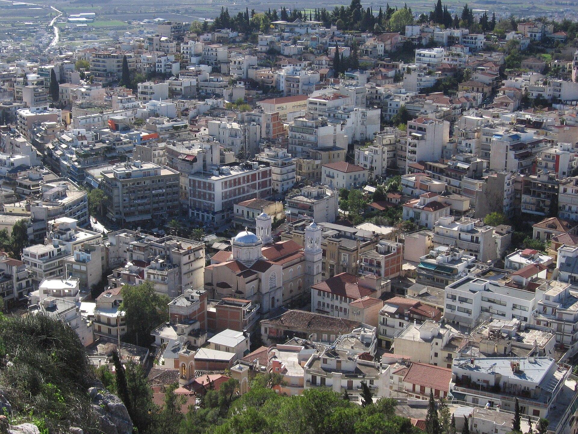 Phthiotis regional overview — Lamia
Glyfa
Glyfa in Fthiotida is a mainland seaside village and the ferry gateway to Agiokampos in northern Evia. You can use it for a crossing, or stay for a slower day of swimming, waterfront coffee and an evening meal.
Get to know the place Area near Agiokampos
Agiokampos
Agiokampos in northern Evia combines a small ferry gateway with a seaside village and beach. It is useful for arriving from Glyfa on the mainland, then slowing down by the water or continuing towards Edipsos and the north coast.
Get to know the place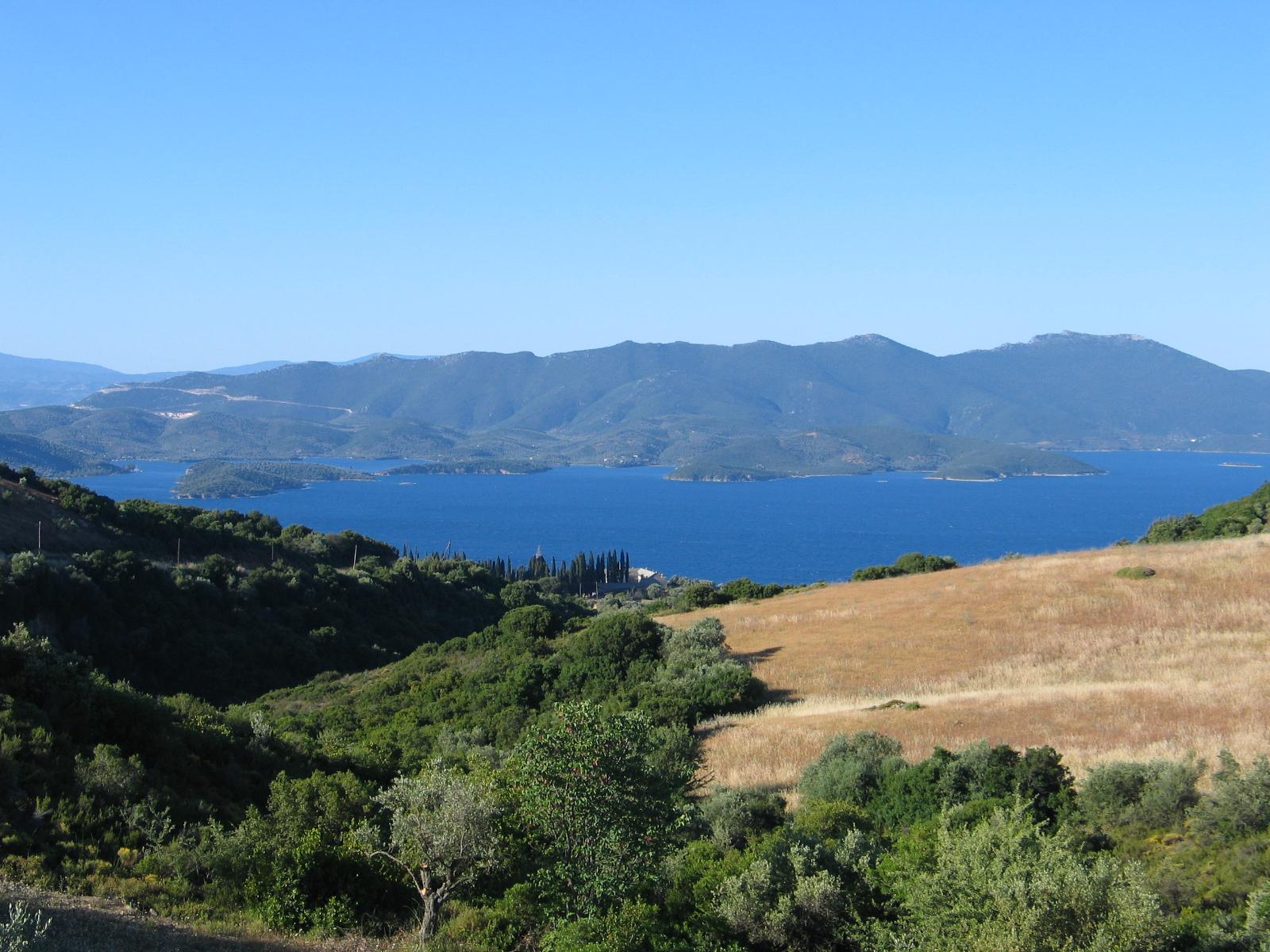 Area overview: Pelion
Platania, Magnesia (Pelion)
Platanias in Magnesia is the fishing and coastal settlement below Promyri in southern Pelion. Olive-covered slopes, a small harbour and a seaside village setting make it a base for slow coastal days and excursions into the peninsula.
Get to know the placePhoto credits4
- Depicts: TrikeriTrikeri lighthouse. Author: Kognos. Credit: Own work. License: CC BY-SA 4.0 (https://creativecommons.org/licenses/by-sa/4.0). Source: https://commons.wikimedia.org/wiki/File:Trikeri_lighthouse.jpgCropped to fit the display.
- Area image: Lamia, PhthiotisLamia01. Author: Roman Klementschitz , Wien. Credit: Own work. License: CC BY-SA 3.0 (https://creativecommons.org/licenses/by-sa/3.0/). Source: https://commons.wikimedia.org/wiki/File:Lamia01.JPGCropped to fit the display.
- Area image: Αγιόκαμπος Εύβοια — Area near AgiokamposΑγιόκαμπος Εύβοια - panoramio. Author: EntaXoyas. Credit: https://web.archive.org/web/20161029101635/http://www.panoramio.com/photo/90918889. License: CC BY-SA 3.0 (https://creativecommons.org/licenses/by-sa/3.0). Source: https://commons.wikimedia.org/wiki/File:%CE%91%CE%B3%CE%B9%CF%8C%CE%BA%CE%B1%CE%BC%CF%80%CE%BF%CF%82_%CE%95%CF%8D%CE%B2%CE%BF%CE%B9%CE%B1_-_panoramio.jpgCropped to fit the display.
- Area image: Pelion — Area overview: PelionPilion with monastery pau. Author: Heidi B. Credit: Own work. License: CC BY 2.5 (https://creativecommons.org/licenses/by/2.5). Source: https://commons.wikimedia.org/wiki/File:Pilion_with_monastery_pau.JPGCropped to fit the display.
