
Croatia.
Croatia combines Adriatic island journeys with coastal towns, mountain landscapes and an inland country that deserves time of its own. A useful first choice is between a seaside base with short excursions and a moving itinerary. Trying to fit Istria, several Dalmatian islands and Dubrovnik into a few days leaves little time to enjoy any of them.
Photo credits1
One country, different starting points.
A little closer to Croatia
Geography, regions and practical details from the country guide. Go straight to a chapter, or browse every destination below.
Go straight to the destinationsCroatia combines Adriatic island journeys with coastal towns, mountain landscapes and an inland country that deserves time of its own. A useful first choice is between a seaside base with short excursions and a moving itinerary. Trying to fit Istria, several Dalmatian islands and Dubrovnik into a few days leaves little time to enjoy any of them.
Ferry travel works best when the exact port and type of vessel are part of the plan. An island name can cover several settlements, and a catamaran arrival may differ from the vehicle-ferry harbour. Choose accommodation around the route you will actually use, then add town walks, meals and outdoor visits at a realistic pace.
Landscape and trip style
Croatia has three broad landscape settings: the Pannonian lowlands, the Dinaric mountains and the Adriatic coast. Gorski kotar and Lika form important mountain areas between inland and coastal journeys. Istria is a peninsula in the northern Adriatic, while Dalmatia extends along much of the southern coast with islands and a hilly hinterland. These contrasting landscapes explain why a coastal forecast or road estimate cannot represent the whole country.
Regions to explore
Istria offers coastal towns and inland places such as Motovun and Buzet. In central Dalmatia, Split and Trogir can anchor journeys to islands or the inland countryside; the Dubrovnik area forms a distinct southern itinerary. Zagreb offers an inland urban base. Farther east, Slavonia and Baranja combine towns, rural stays and cycling routes, including landscapes along the Drava and Danube. Plan one regional cluster first, then decide whether another merits a separate stay.
Language
Croatian is the official language. Keep Croatian place names and their accents in saved addresses and booking details, especially when a harbour and an island share related names. Tourist services may offer other languages, but this should be checked for a particular excursion or transfer. A short greeting and the written name of your destination are often more useful than relying on an English pronunciation of an unfamiliar port.
Money
Croatia uses the euro, having joined the euro area in January 2023. Older travel pages quoting kuna are not current payment guidance. Check the currency, final total and any accommodation tax shown in your booking, and ask a small business which payment methods it accepts. Keep enough flexibility for a local purchase without assuming that every island service has the same card facilities as a major city.
Culture and food
Food changes with the region. Istrian cooking includes truffles with dishes such as fuži pasta, while the Dubrovnik-Neretva area offers seafood, black risotto, Ston oysters and rožata custard. Use these as menu ideas rather than promises that every restaurant serves them daily. Ask about ingredients and portions, and give a local meal time in the itinerary. Coastal and inland traditions are both part of Croatian culture.
When to go
The coast has maritime influences, inland areas have a continental climate, and higher mountain regions are colder with more persistent snow. Summer can suit a coastal stay, while spring and autumn offer alternatives for touring with less emphasis on swimming. Weather changes still matter outside summer. Strong winds can restrict roads and affect ferries, so check current operator notices and the Croatian Auto Club’s road information before a transfer.
Getting there
International airports, road connections, rail and Adriatic ferries serve different parts of the country. Match the gateway to your chosen region rather than booking a distant airport solely because of its name or fare. Split’s transport hub can support onward island travel, but leave room between independently booked services. Verify the exact ferry departure harbour and the onward route from the arrival port to your accommodation.
Getting around
Rail can serve mainland journeys, while coaches, local buses and ferries cover other routes. On Jadrolinija, vehicle transport belongs to ferry services; its passenger ships and catamarans do not carry cars. Some ferry routes reserve a specific vehicle departure and others operate without that reservation. Read the conditions of the chosen line, vehicle dimensions and arrival instructions. A purchased ticket alone should not be treated as a universal guarantee of space on any chosen sailing.
Planning your stay
Check Croatian consular guidance for the entry requirements that apply to your nationality; Croatia is in the Schengen area. Protected areas have their own access and conduct rules. At Plitvice Lakes, swimming is prohibited and some paths can close with weather or season; choose the visit programme and entrance carefully. For a remote stay, check the last local connection and luggage access before booking, especially when arriving after an international journey.
Good to know before you go
Does Croatia still use kuna?
No. The euro has been the currency since January 2023. Treat kuna prices on older travel pages as outdated.
Can I take a car on every Croatian catamaran?
No. Jadrolinija distinguishes vehicle ferries from passenger ships and catamarans. Check the actual operator and vessel service before taking a car to the harbour.
Does every ferry ticket reserve a vehicle place at a specific time?
No. Jadrolinija has both reservable and non-reservable ferry lines. Read the rules for your chosen route and departure rather than generalising from another island.
Can I swim in Plitvice Lakes?
No. Swimming is prohibited. Follow the marked visiting programme and check which paths and entrances are open.
Is a beach forecast enough for a mountain excursion?
No. Croatia’s inland, mountain and coastal climates differ. Check the actual location, elevation and local weather warnings before setting out.
Sources & references
These references support the guide. Confirm opening hours, access and travel services before you go.
- 01Miroslav Krleža Institute of Lexicography: Croatia relief
- 02European Union: Croatia and euro adoption
- 03Istria Tourist Board: destinations
- 04Split-Dalmatia County Tourist Board: regional destinations
- 05Zagreb Tourist Board
- 06Slavonia tourism: Osijek-Baranja County
- 07Croatian Ministry: official language and country facts
- 08Istria Tourist Board: truffles and fuži
- 09Dubrovnik-Neretva County tourism: gastronomy
- 10DHMZ: climate regions
- 11Croatian Auto Club: current traffic information
- 12Split-Dalmatia County: transport gateways
- 13Jadrolinija: local-line ticket and vessel rules
- 14Jadrolinija: routes with vehicle reservations
- 15HŽ Passenger Transport: ticket channels
- 16Plitvice Lakes National Park: visitor FAQs
- 17Croatian Government: protected-area conduct
- 18Croatian Ministry of Foreign Affairs: visa information
Find your place in Croatia
Open the guides, get a feel for the differences between places, and find the ones that fit your plans.

Split
Split’s story is more than 17 centuries old, and the historic core is built around the palace commissioned by the Roman emperor Diocletian. The palace is not an isolated museum: it forms the heart of the city and is threaded with streets, homes, shops and cafés.
Read the field guide
Hvar
Hvar has more than one holiday personality. Hvar Town brings waterfront evenings, historic buildings and boats to the Pakleni islands; further inland and along the northern coast are vineyards, quieter harbours and villages with a slower rhythm.
Read the field guide
Dubrovnik
Begin with the walls and Stradun, then slow down for museums, neighbourhood food and a swim. Gruž and Lapad provide a less formal, more residential counterpoint to the historic core.
Read the field guide
Korčula
Korčula combines a compact fortified town with vineyard villages, small coves and a much larger island beyond the familiar walls. Its eastern end is especially rewarding for visitors who want architecture, local wine and beach time within one trip.
Read the field guide
Brač
Brač combines white stone villages, olive-growing country and the pebble cape of Zlatni Rat. Bol is its best-known beach base, while Supetar, Pučišća and the quieter northern harbours reveal a working island beyond the postcard.
Read the field guide
Vis
Vis Town is the ferry gateway and eastern centre; Komiža on the west is the fishing village with the strongest small-boat culture. The island rewards several nights because its bays and Biševo require road, trail or boat.
Read the field guide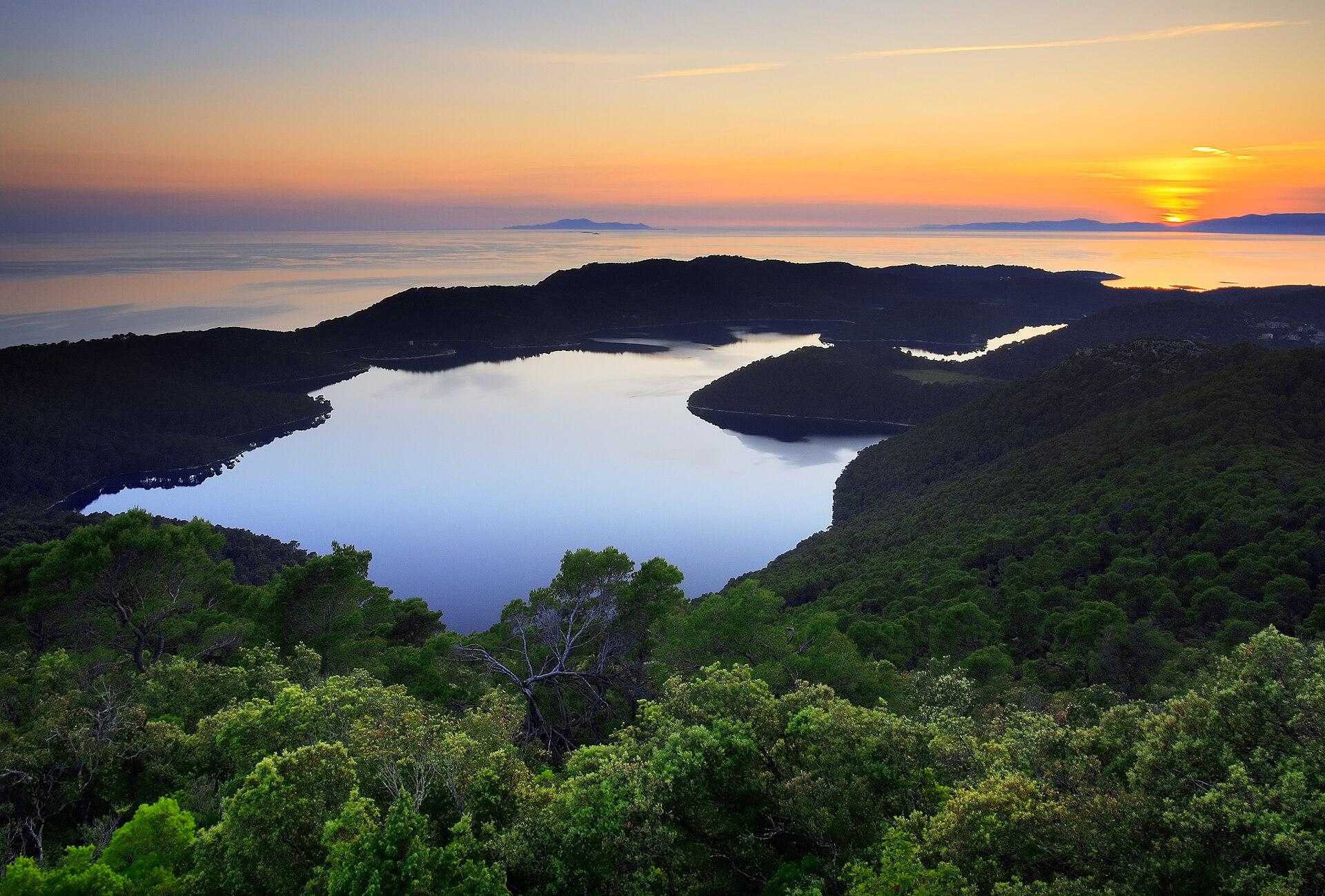
Mljet
Mljet is an island for pine-shaded walks, sheltered harbours and long pauses by the water. Its western national park contains the seawater lakes Veliko and Malo jezero, with a monastery rising from a tiny island in the larger lake.
Read the field guide
Zadar
Zadar is the practical mainland hub for the northern Dalmatian islands, but it deserves its own stay. The compact peninsula concentrates history, markets and the Riva, while beaches and ferry terminals spread beyond the old core.
Read the field guide
Makarska
Makarska sits between a busy Adriatic waterfront and the steep limestone backdrop of Biokovo. It suits a holiday that alternates beach mornings, old-town evenings and a properly planned mountain outing.
Read the field guide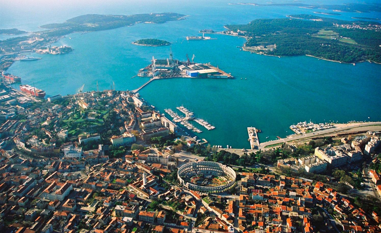
Pula
Pula rewards an organised first loop: Arena, Arch of the Sergii, Forum and Temple of Augustus read as one Roman city. Kaštel and Zerostrasse add later defensive layers.
Read the field guide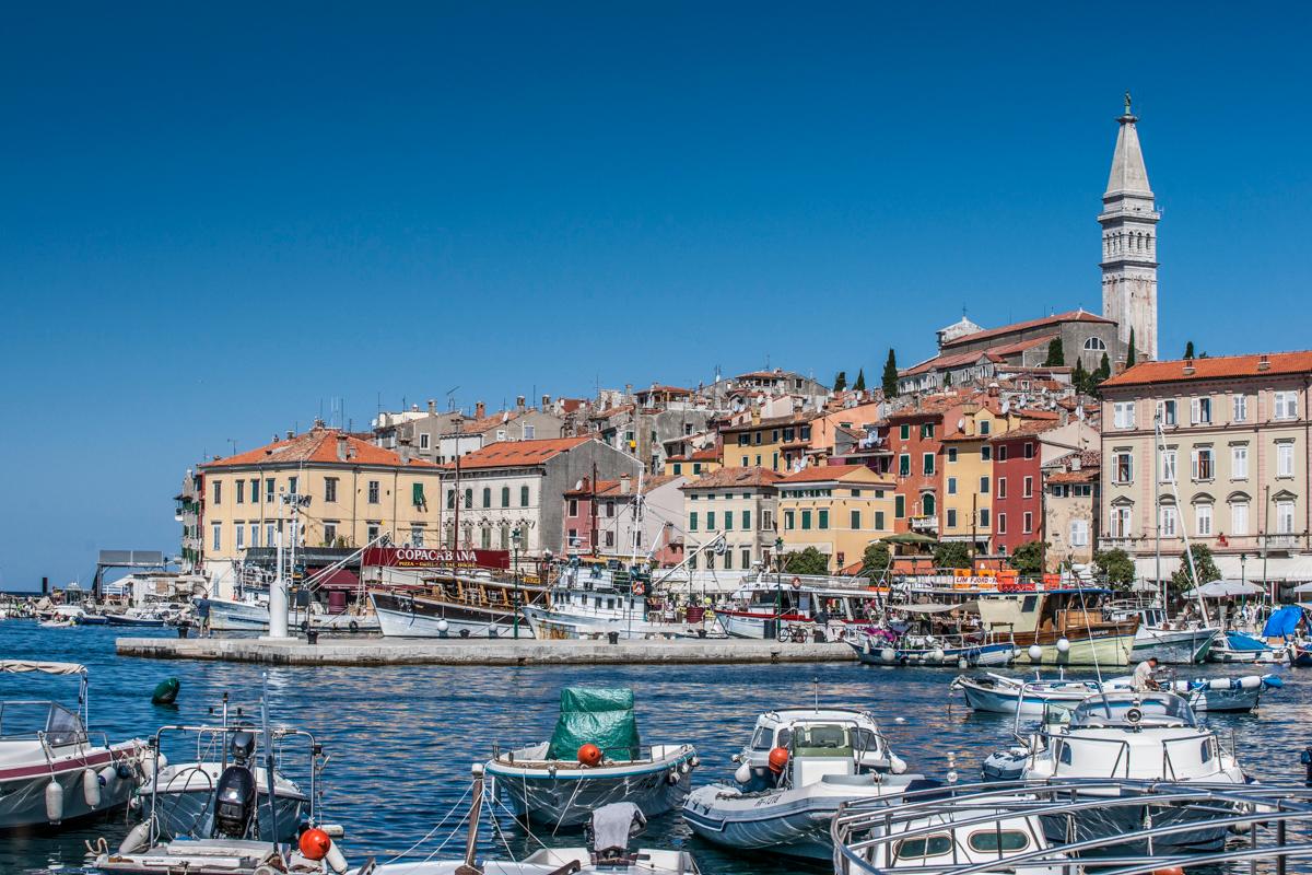
Rovinj
Rovinj’s old town is the first experience: a compact peninsula of lanes, viewpoints and waterfront edges crowned by St Euphemia.
Read the field guide
Poreč
Begin on the historic peninsula, where the Euphrasian Basilica gives Poreč its cultural centre of gravity. The Roman street plan remains legible, so connect the basilica, Decumanus, waterfront and medieval fabric in one walk.
Read the field guide
Baška
Baška sits at the southern end of Krk, where a long pebble beach curves below rocky hills. The compact old centre and promenade make it an easy place to combine swimming, evening meals and walks into a very different inland landscape.
Read the field guide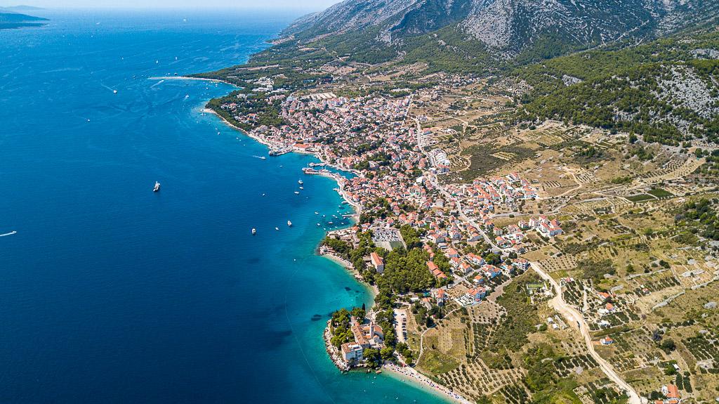
Bol
Bol sits on Brač’s southern coast beneath the ridge of Vidova Gora. Its harbour streets, Dominican monastery and beach promenade give it a life beyond the famous shifting point of Zlatni Rat. This is a coastal town on Brač, not a separate island.
Read the field guide
Brbinj
Brbinj is both a small village spread around Jaz and Lučina bays and the principal vehicle-ferry gateway to Dugi Otok. A stop here can be more than an interchange: waterside houses, quiet corners and the island’s literacy heritage reward time away from the car queue.
Read the field guide Area overview: Iž
Bršanj
Bršanj is the vehicle-ferry arrival on Iž, serving visitors continuing to Mali Iž, Veli Iž and other island addresses. Its useful role is a concrete one: this is where to plan disembarkation, a meeting with a host or the final approach to a departing car ferry.
Read the field guide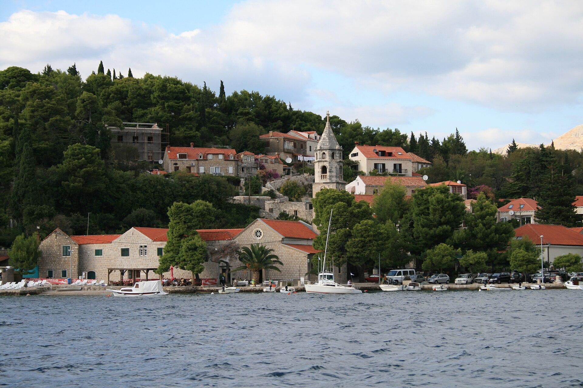
Cavtat
Cavtat occupies the site of ancient Epidaurus and makes a slower-paced base on the southern Dubrovnik Riviera. Its waterfront, peninsula walks and collection of art and architecture reward time in the town itself, alongside excursions to Dubrovnik and inland Konavle.
Read the field guide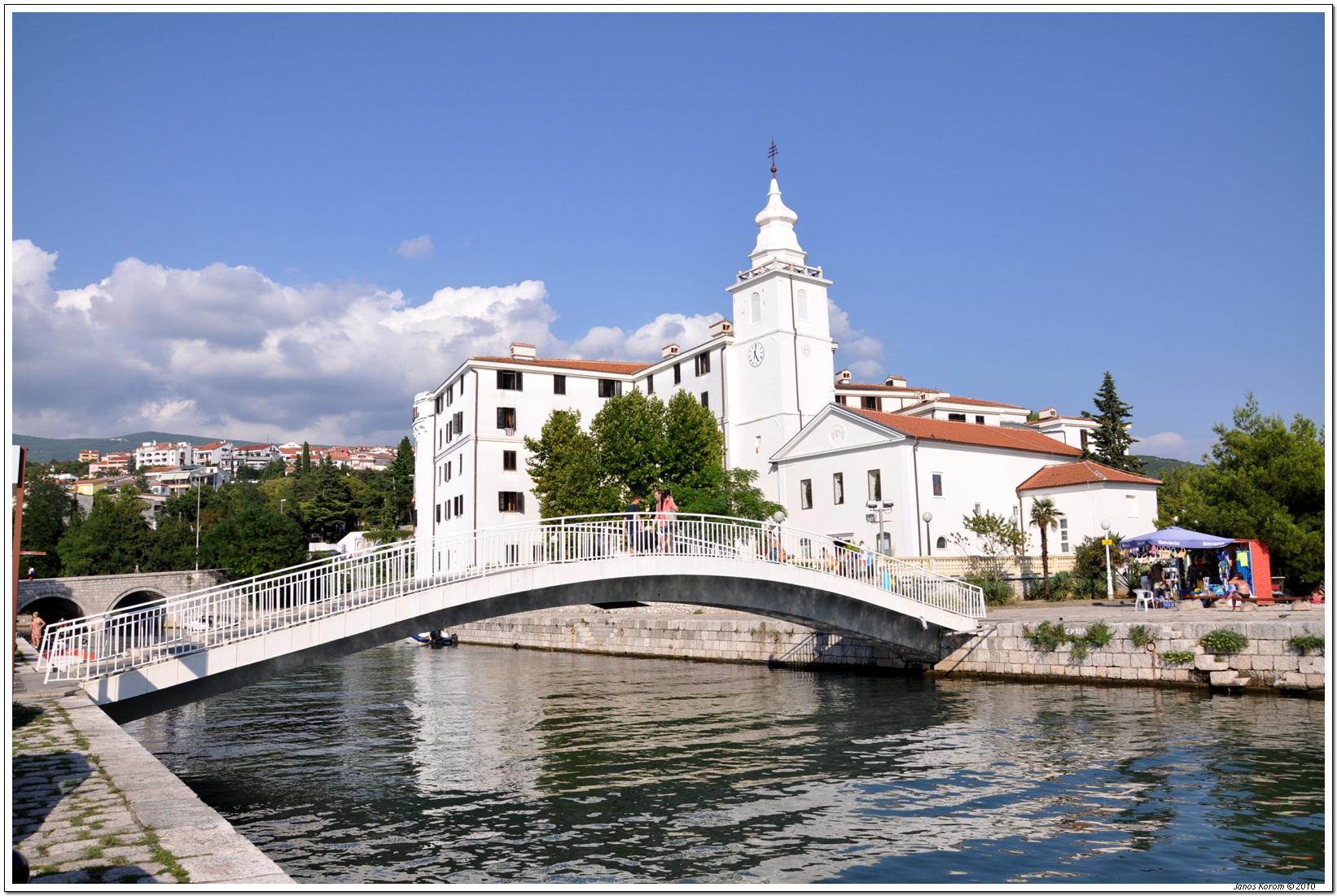
Crikvenica
Crikvenica is a mainland Kvarner seaside town where a central harbour, bathing beaches and promenades sit below wooded and historic inland routes. It works for a beach holiday with small cultural outings, without requiring a boat for everyday access.
Read the field guideHvar area overviewHvar City
Use Hvar Town’s old harbour and main square as your orientation; the steep lanes reward slow walking and views towards the Pakleni Islands. The town combines a concentrated historic centre with a busy waterfront and beaches reached along either side of the coast.
Read the field guide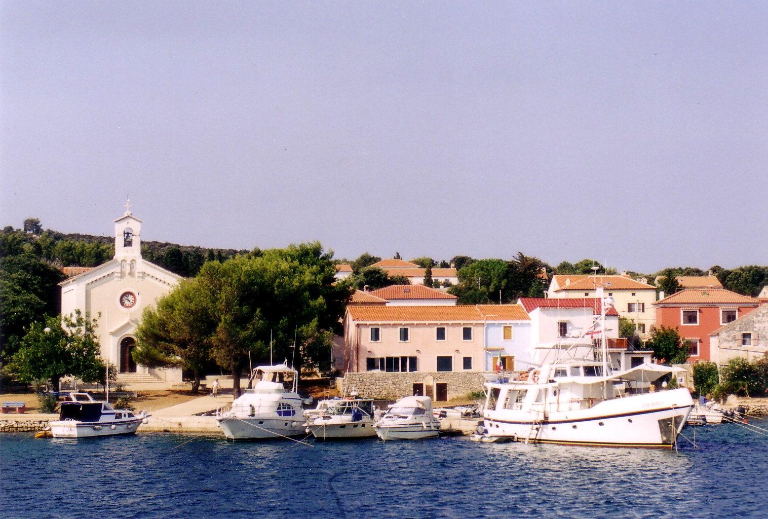
Ilovik
Ilovik is a small inhabited island at the southern end of the Lošinj archipelago. Its village faces the channel and neighbouring Sveti Petar, with flowering gardens and a waterfront that suits a slow arrival followed by a walk.
Read the field guide
Jelsa
Use Jelsa’s waterfront as your base: the centre, square and several bathing spots sit around a sheltered-looking bay on Hvar’s north coast. The town offers a different rhythm from Hvar Town, with wine producers, old lanes and walking routes into the hills.
Read the field guide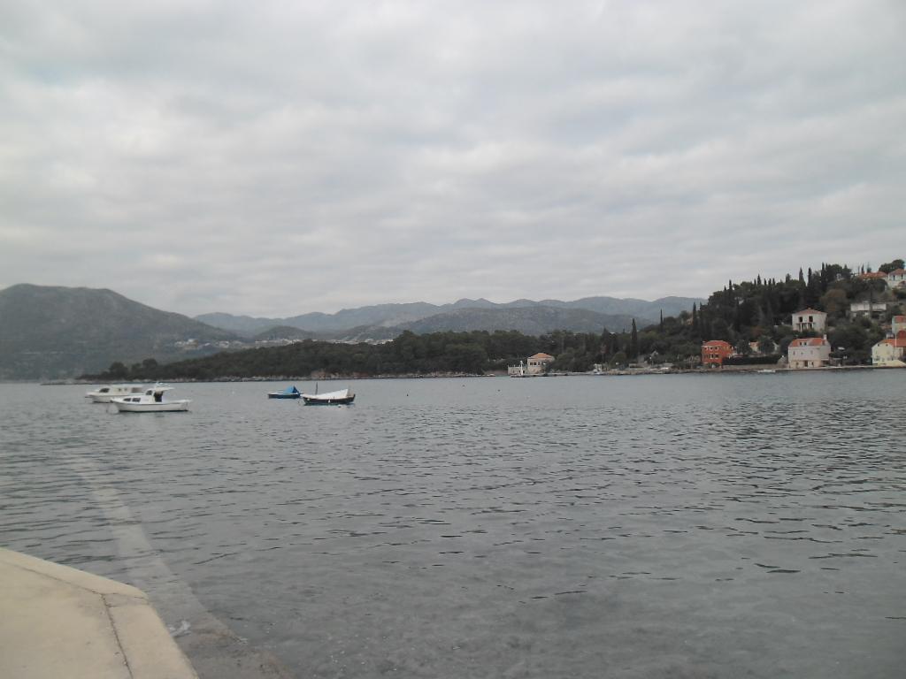
Koločep
Koločep, locally called Kalamota, is an Elaphiti island west of Dubrovnik where wooded walks and small coastal settlements suit a slower visit. The experience is built around time outside: a crossing, a walk through greenery and a swim, rather than a long list of large attractions.
Read the field guide Area near Korčula City
Korčula City
Enter through the gates and explore Korčula’s old town on foot before branching out to beaches and the archipelago. The fortified peninsula concentrates stone lanes, the cathedral and houses shaped by a long tradition of stonemasonry and seafaring.
Read the field guide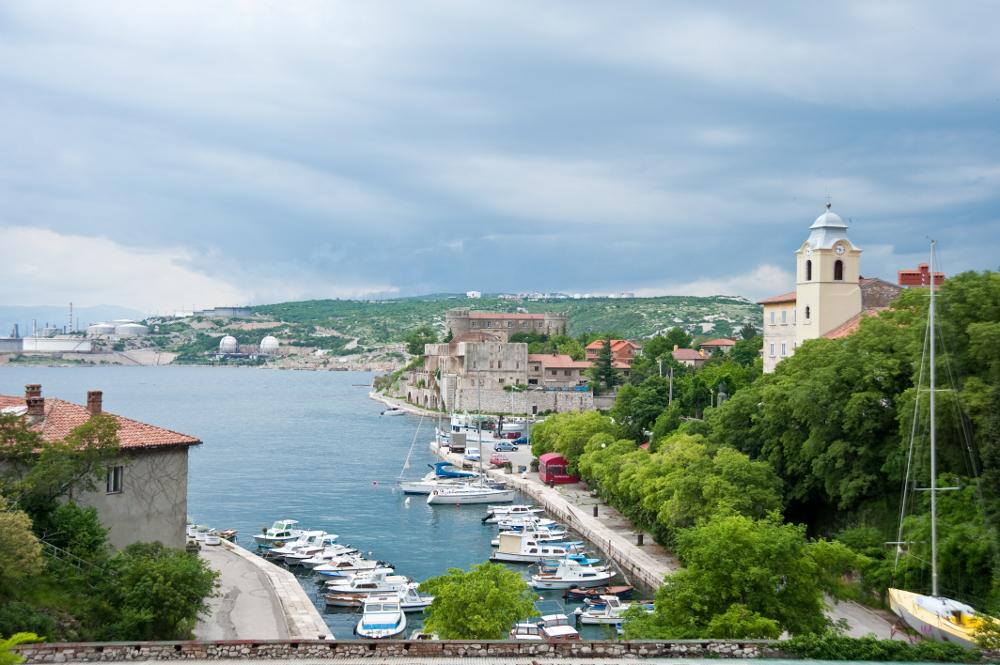
Kraljevica
Kraljevica is a mainland Kvarner town at the entrance to Bakar Bay, close to the approach to Krk. Its harbour and shipbuilding history sit alongside two distinct castle complexes, making a stop here more than a pause on the road to the island.
Read the field guide
Lopar
Lopar occupies the sandy northern part of Rab island, with a different holiday rhythm from the walled town of Rab farther south. Rajska Plaža, also called Paradise Beach, is the familiar starting point, but the peninsula has varied bays and an unusual geological landscape.
Read the field guide Area near Lun / Tovarnele
Lun / Tovarnele
Lun and Tovarnele belong to the northern tip of Pag, a landscape of old olive trees, stone boundaries and a quiet waterfront. The name Lun can describe the wider peninsula or the older settlement called Selo; Tovarnele is its coastal harbour community.
Read the field guide
Mali Iž
Mali Iž occupies the southern part of Iž, the island between Ugljan and Dugi Otok. It is a collection of small hamlets rather than one continuous resort: olive cultivation, fishing and quiet coves shape the visit.
Read the field guide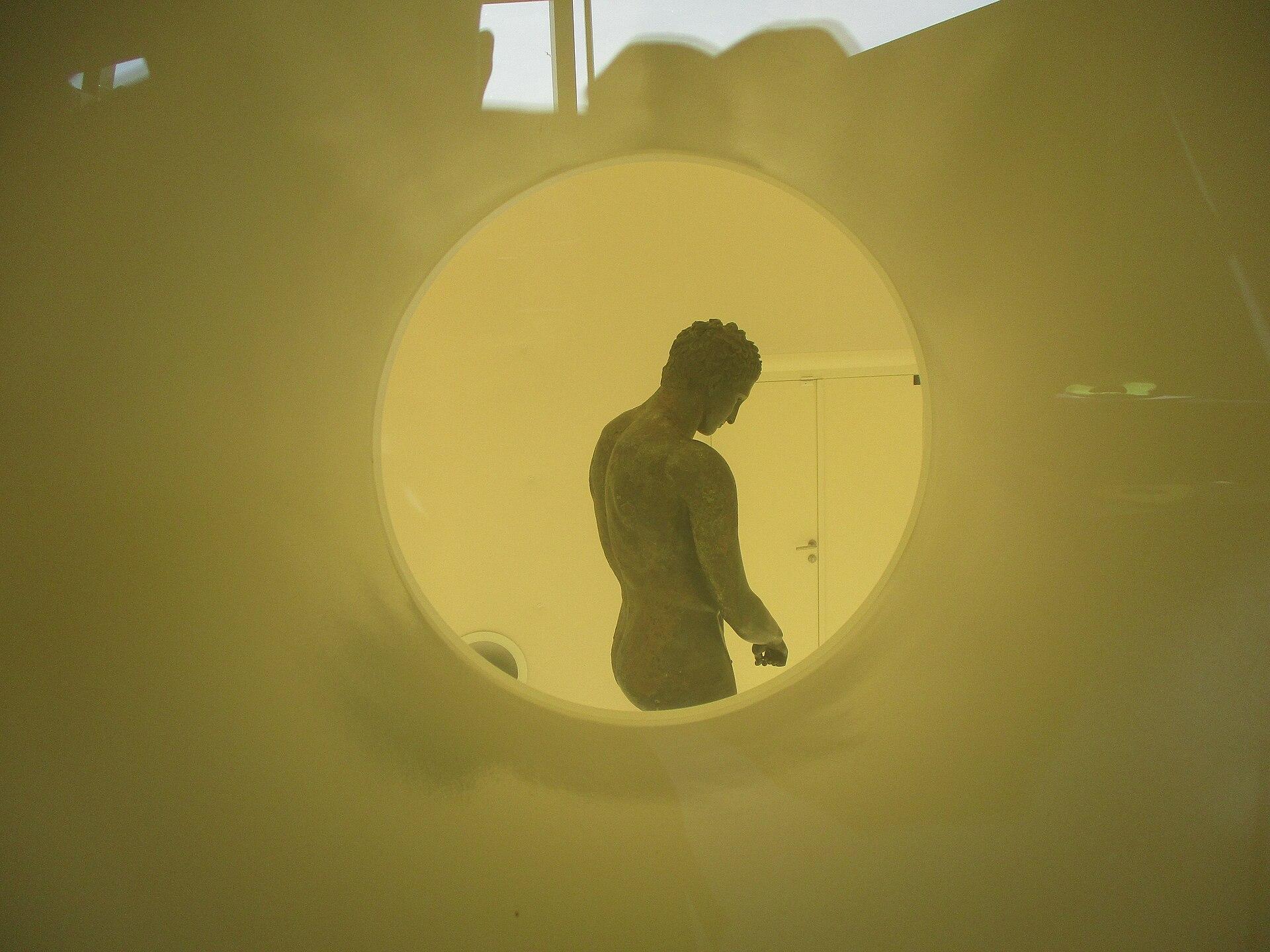
Mali Lošinj
Mali Lošinj combines a long harbour frontage with wooded bays on the island of Lošinj. Boats, waterfront cafés and the Museum of Apoxyomenos give the town a cultural and maritime focus, while the Čikat forest park provides a nearby change of pace.
Read the field guide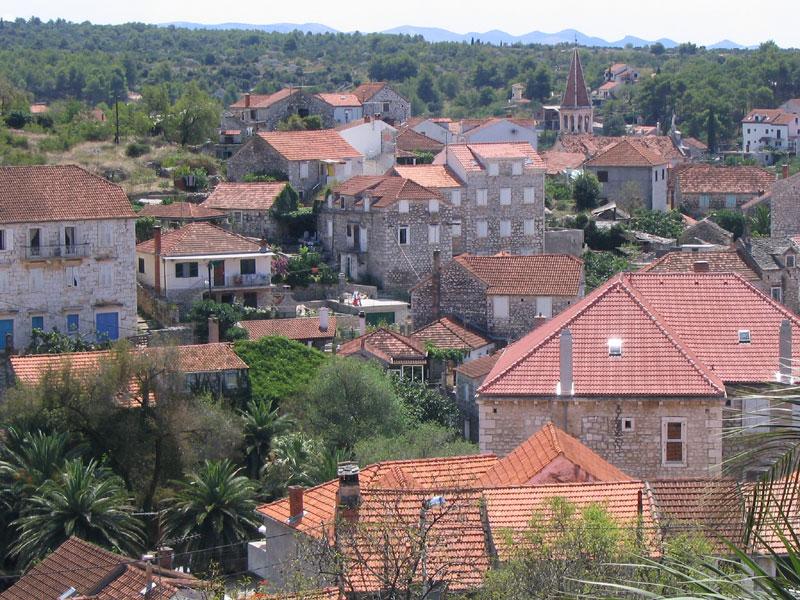
Milna
Milna lies on Brač’s western coast around a long harbour lined with stone houses and marinas. Its maritime heritage, Baroque church and nearby coves make it a relaxed base for exploring the island, with a different atmosphere from the busy ferry gateway at Supetar.
Read the field guide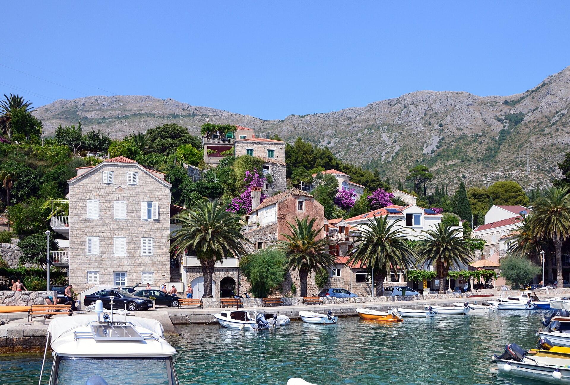
Mlini
Mlini sits in a green coastal setting near Dubrovnik, where a stream, pebble shore and waterfront walks give the village a different rhythm from the larger city. It works as a seaside base for a stay that alternates easy local time with planned excursions.
Read the field guide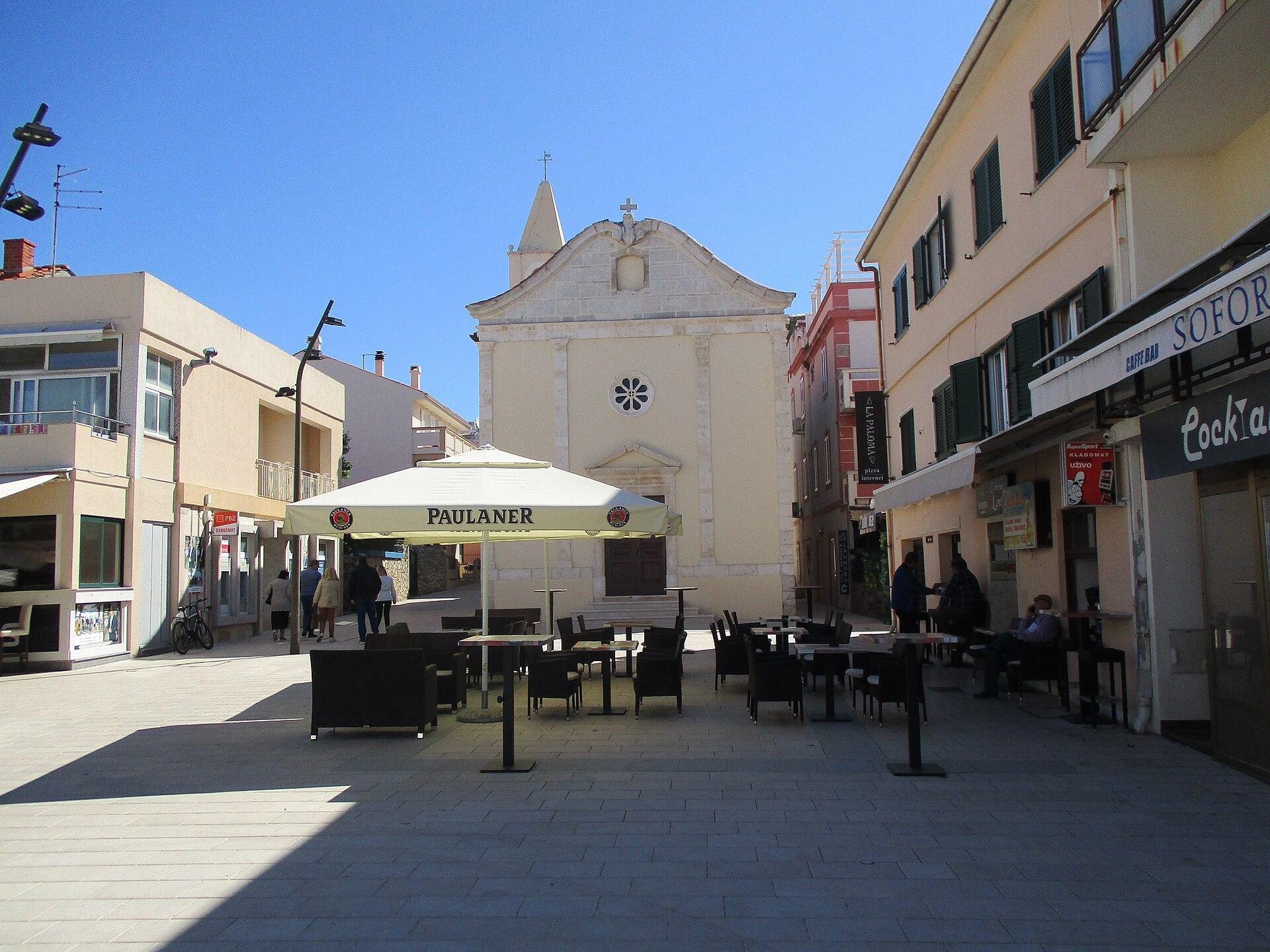
Novalja
Novalja is a town on northern Pag with more range than its party reputation suggests. Its harbour and town beach sit close to a museum preserving an extraordinary Roman water channel, while the surrounding settlements lead to olive groves, sandy bays and stark rocky coast.
Read the field guide
Olib
Olib is a low island in the western Zadar archipelago, with one village and a landscape of cultivated land, stone boundaries and quiet shores. Its appeal is a stay organised around walking, swimming and village life rather than a large hotel complex.
Read the field guide
Omiš
Omiš brings the Cetina River to the Adriatic beneath steep limestone scenery. Its old town, maritime history and riverside setting give you several ways to spend a day: follow the lanes, take a coastal break or make the canyon the main event. This is a mainland town, separate from the island of Brač across the sea.
Read the field guide
Orebić
Use Orebić as a base for the western Pelješac coast, facing Korčula across the channel. The town’s gardens, sea captains’ houses and maritime collections give a beach stay a clear historical setting beneath the slopes of Sveti Ilija.
Read the field guide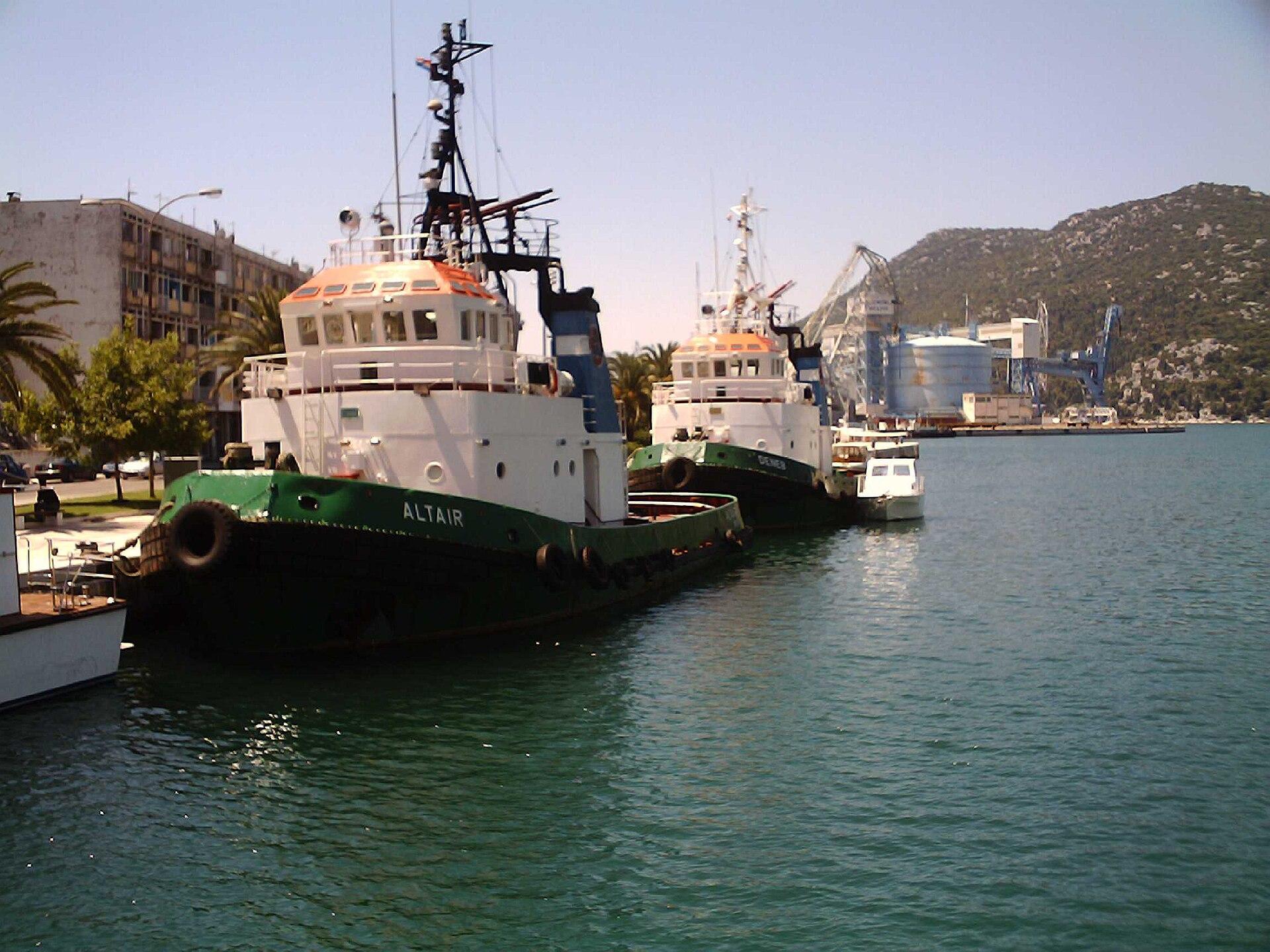 Local overview of Ploče
Ploče
Ploče is a port town near the mouth of the Neretva, with lakes, wetland scenery and the Pelješac crossing close to its everyday transport role. It makes sense as a base for exploring the lower river landscape, rather than expecting another compact medieval Dalmatian old town.
Read the field guide
Polače
Polače combines a deep bay with conspicuous Roman remains beside the village waterfront. It is a place to slow down among boats, old stonework and the wooded western landscape of Mljet, with the national park close enough to shape a longer stay.
Read the field guide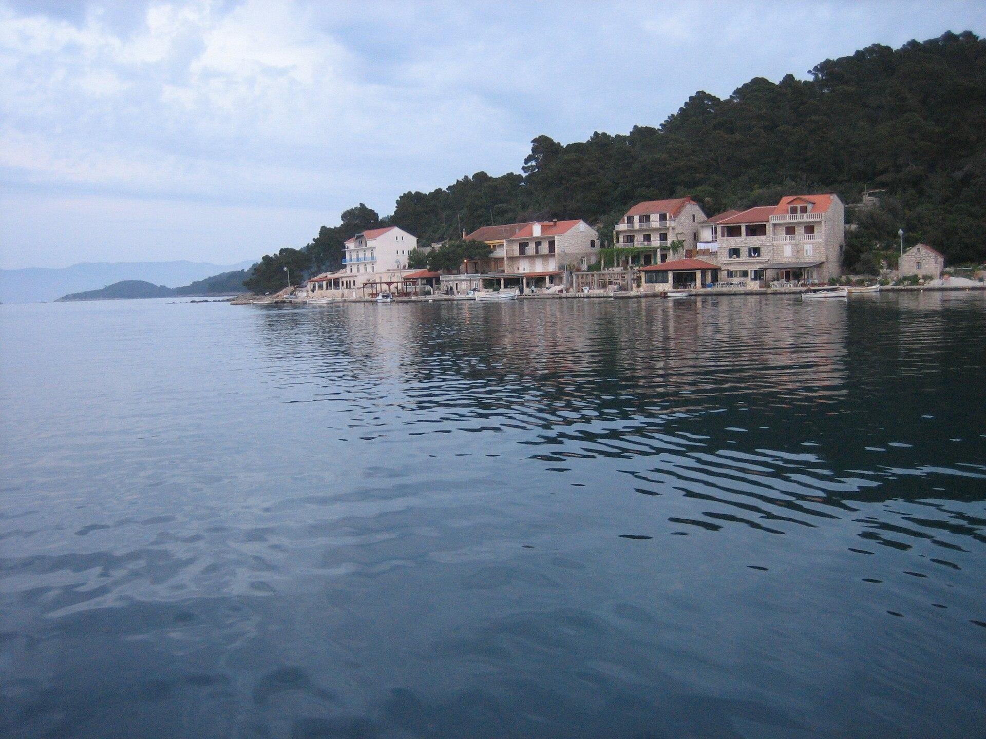
Pomena
Pomena is compact and oriented towards the sea, making it a useful base for the western end of Mljet. From the waterfront, plan a nature day around the Small and Great Lakes, woodland paths and St Mary’s island rather than a long checklist of urban sights.
Read the field guide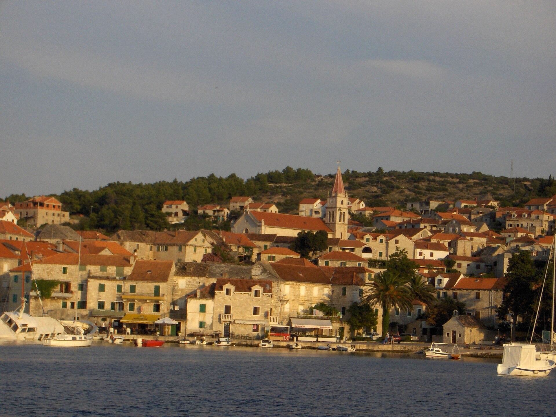
Postira
Postira is a Brač town where fishing, farming and the waterfront sit alongside a beach holiday. Its harbour gives you an everyday coastal base, while the nearby landscape leads towards olive-growing country and the separate village of Dol. This is a distinct town, not another name for Bol or the whole island.
Read the field guide
Premuda
Premuda is intentionally small in scale. Krijal harbour is the practical ferry arrival, while Loza is a separate harbour; the island’s appeal is clear water, maquis and quiet outdoor time rather than a packed resort programme.
Read the field guideKorčula area overviewPrigradica
Prigradica is a small harbour on Korčula’s northwestern coast, where stone houses and old quays frame a slower seaside stay. It suits travellers who want a village waterfront and nearby countryside rather than the density of Korčula Town.
Read the field guide
Pučišća
Pučišća gathers pale stone houses around a sheltered-looking harbour on Brač. Stoneworking is part of the town’s everyday identity: the masonry tradition, its school and the fortified houses make the built landscape as interesting as the water. Come for a harbour walk and a slower look at the buildings, rather than treating the town as interchangeable with Bol or Supetar.
Read the field guide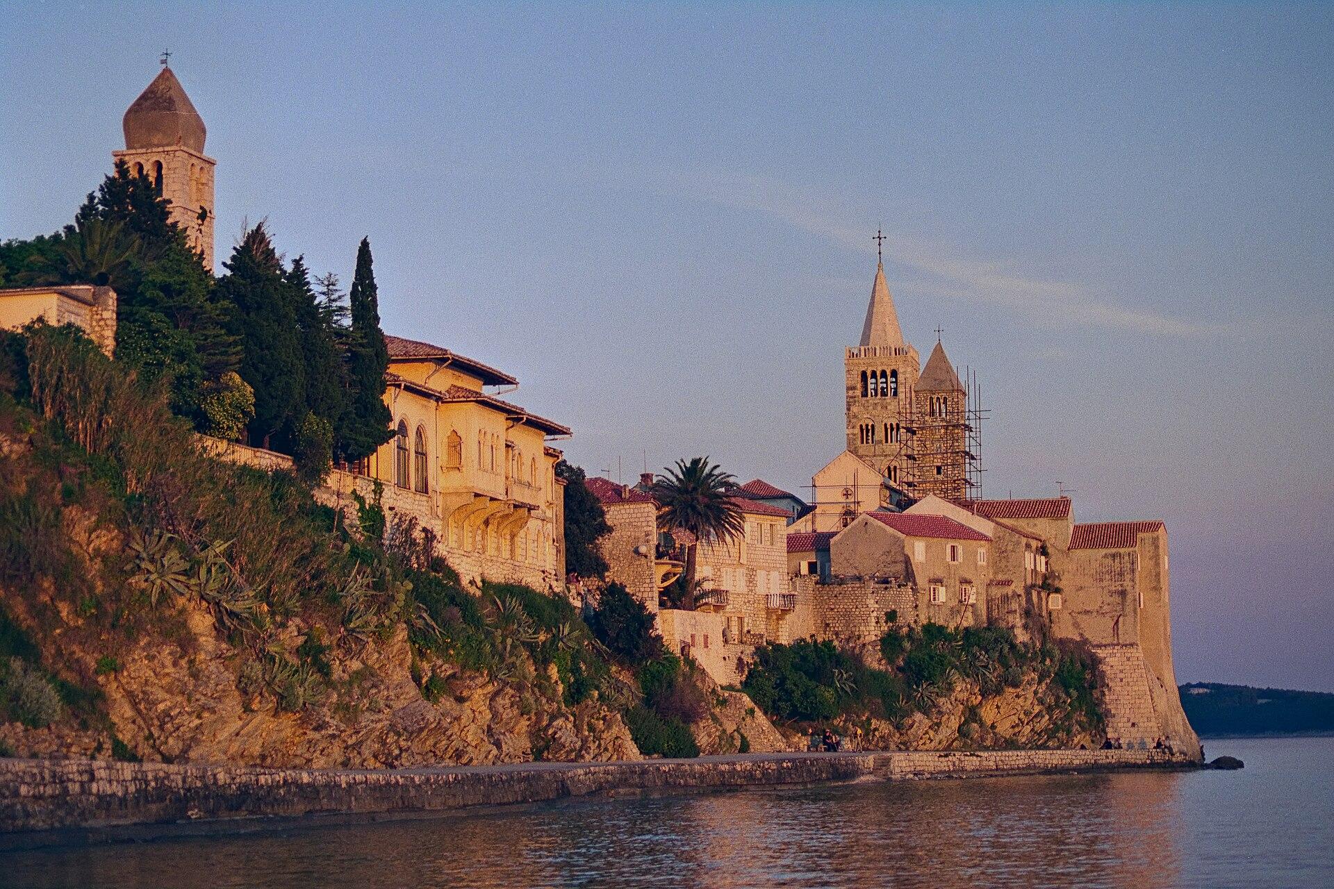
Rab
Rab Town occupies a narrow peninsula, its four bell towers rising above stone streets and the harbour. This guide starts with that compact historic centre and the nearby shore, rather than treating every village on the island of Rab as part of the same town.
Read the field guide
Rava
Rava is an island for slowing down between Iž and Dugi Otok. Its indented shoreline invites small walks and carefully chosen swims, while olive cultivation and fishing explain much of the landscape and daily life.
Read the field guide
Rogač
Rogač is Šolta’s main ferry arrival point, a small north-coast harbour settlement that developed as the port for inland Grohote. Its waterfront becomes busy around sailings, but nearby bathing bays and a coastal promenade give a reason to stay beyond the transfer.
Read the field guide
Sali
Sali is one of the better-equipped bases on Dugi Otok, combining a working harbour, everyday services and a long fishing tradition. It suits visitors who want a recognisable village centre to return to after exploring the island’s southern landscapes.
Read the field guide
Senj
Senj is a compact historic port beneath the mountains, with Nehaj Fortress dominating the skyline above its old streets. The town’s Uskok history and the meeting of coast and Velebit give it a distinct character within northern Adriatic travel.
Read the field guide
Silba
Silba is a walking island in the Zadar archipelago, with one village stretched across its narrow middle. Gardens, old captains’ houses and small lanes connect the two coasts, so a day can move naturally between village life and the water.
Read the field guide
Šipanska Luka
Šipanska Luka is a harbour village on Šipan, with historic houses, a waterfront shaped by boats and an agricultural interior close behind it. It suits a stay with unhurried meals and walks, using the village as a base rather than trying to cover all the Elaphiti islands in one day.
Read the field guide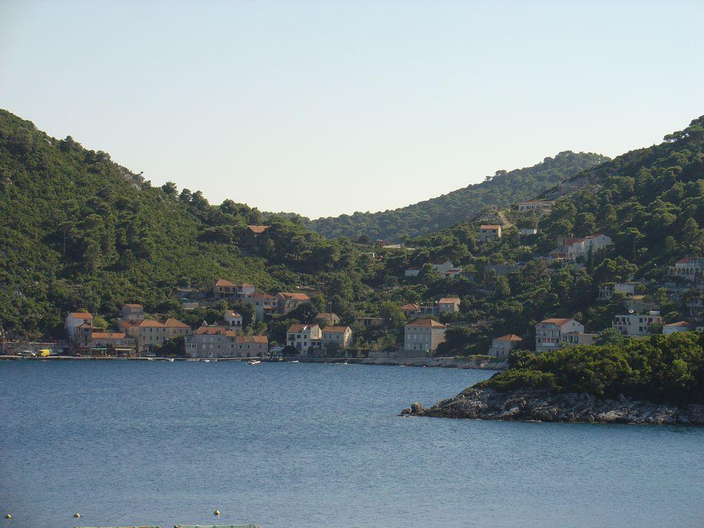
Sobra
Sobra is a former fishing harbour on Mljet’s northern coast, useful both as an island gateway and as a quieter base around a bay. Its value is practical access to several parts of Mljet, with coastal scenery and inland heritage to explore between journeys.
Read the field guide
Sućuraj
Sućuraj is a destination on Hvar’s eastern tip, not a separate island. Its ferry connection to Drvenik links this fishing settlement with the Makarska Riviera, making it a practical gateway for a trip arriving along the mainland’s southern coast.
Read the field guide
Supetar
Supetar is Brač’s mainland-facing ferry gateway and a town worth staying in, with a compact harbour, coastal swimming and a cultural trail linked to sculptor Ivan Rendić. It suits a trip that combines convenient arrivals with time on the island rather than immediately racing south.
Read the field guide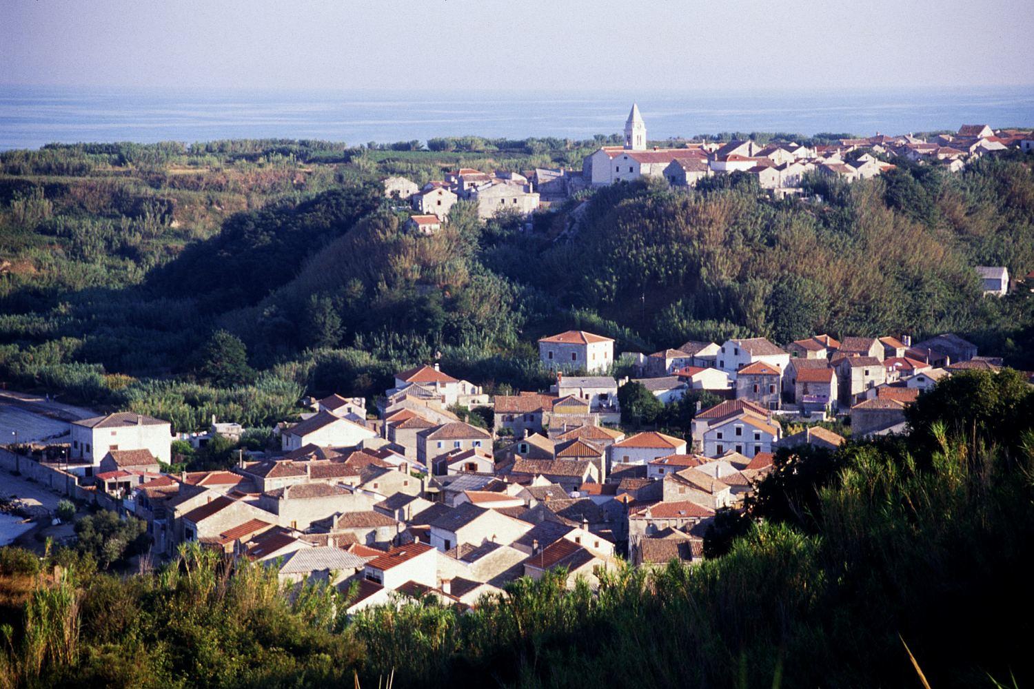
Susak
Susak looks different from its rocky neighbours: wind-deposited sand covers a limestone base, and reeds surround former agricultural plots. The island sits off Lošinj, with a harbour village below an older settlement and sandy paths leading out towards the coast.
Read the field guide
Sutivan
Sutivan sits on the northwestern coast of Brač, where two church towers mark a compact old centre and coastal paths lead towards swimming coves. It is a useful base for a slower island stay, with the larger ferry town of Supetar a separate journey along the coast.
Read the field guide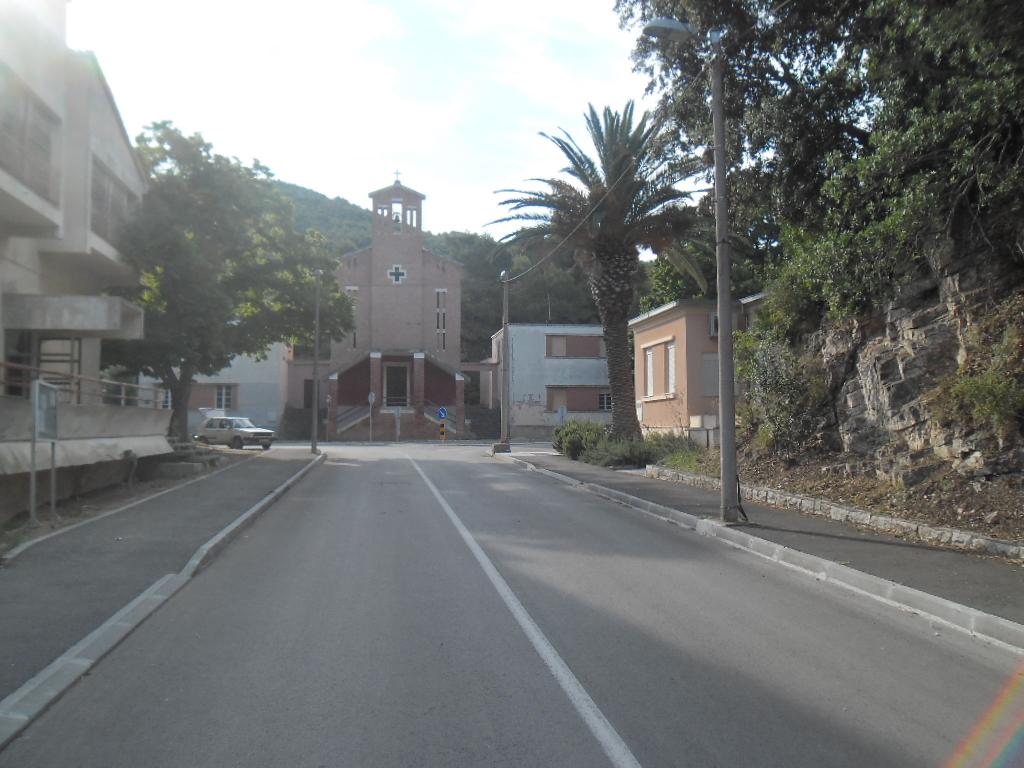
Uble
Ubli, also called Uble, is Lastovo’s ferry settlement on the southwestern side of the island. It is a practical place to arrive and pause: archaeological remains, nearby bathing spots and a coastal walk give it interest beyond the ships coming and going.
Read the field guide
Umag
Umag, also written Umago, is a coastal town in northwestern Istria with a small historic peninsula and a much broader holiday coastline. Its old walls, church and harbour suit a compact walking visit, while the northern resort areas put beaches and sporting facilities at the centre of a longer stay.
Read the field guide
Unije
Unije is a small Kvarner island west of Lošinj, with one waterfront village and a surprisingly varied interior. The fertile Polje landscape contrasts with limestone slopes, olive groves and bays reached along tracks or footpaths.
Read the field guide
Vela Luka
At the head of a long, indented bay, Vela Luka feels like a working maritime town. Its waterfront, small-island excursions and access to Korčula’s west end make it useful for travellers arriving by ferry or looking for a base beyond the island’s eastern old town.
Read the field guide
Veli Iž
Veli Iž is compact and intimate: the waterfront, stone houses and small harbour are the centre of island life, while olive landscapes and quiet bays spread behind the village. It suits travellers who prefer local character and swimming walks to a long list of monuments.
Read the field guideArea overview: HvarVira, Hvar
Vira is a northern-coast harbour area outside Hvar Town, with a working port and nearby camping and bathing options. The port is in Vela Vira; the campsite address is in Mala Vira. These neighbouring places should not be treated as the same boarding point or beach entrance.
Read the field guide Zaglav village on Dugi Otok — local overview
Zaglav, Dugi Otok
Zaglav is a working coastal settlement on the southeastern part of Dugi Otok, with a natural harbour, stone houses and a quieter setting than a large resort. It is a useful base for visitors who want local food and village time alongside excursions towards Telašćica.
Read the field guidePhoto credits57
- Depicts: SplitSplit 080620-133710-IMG 0968x. Author: Tatyana Peshkova. Credit: Own work. License: CC BY-SA 4.0 (https://creativecommons.org/licenses/by-sa/4.0). Source: https://commons.wikimedia.org/wiki/File:Split_080620-133710-IMG_0968x.jpgCropped to fit the display.
- Depicts: HvarView of Hvar 02. Author: Bernard Gagnon. Credit: Own work. License: CC BY-SA 4.0 (https://creativecommons.org/licenses/by-sa/4.0). Source: https://commons.wikimedia.org/wiki/File:View_of_Hvar_02.jpgCropped to fit the display.
- Depicts: DubrovnikThe walls of the fortress and View of the old city. panorama. Author: Zysko serhii. Credit: Own work. License: CC BY-SA 4.0 (https://creativecommons.org/licenses/by-sa/4.0). Source: https://commons.wikimedia.org/wiki/File:The_walls_of_the_fortress_and_View_of_the_old_city._panorama.jpgCropped to fit the display.
- Depicts: KorčulaKorčula, Croatia. Author: Quintin Soloviev. Credit: Own work. License: CC BY 4.0 (https://creativecommons.org/licenses/by/4.0). Source: https://commons.wikimedia.org/wiki/File:Kor%C4%8Dula,_Croatia.jpgCropped to fit the display.
- Depicts: Brač
- Depicts: Vis
- Depicts: MljetZalazak. Author: Jaganjac. Credit: Own work. License: CC BY-SA 3.0 (https://creativecommons.org/licenses/by-sa/3.0). Source: https://commons.wikimedia.org/wiki/File:Zalazak.jpgCropped to fit the display.
- Depicts: ZadarRoman Forum in Zadar, Croatia (48607823862). Author: dronepicr. Credit: Roman Forum in Zadar, Croatia. License: CC BY 2.0 (https://creativecommons.org/licenses/by/2.0). Source: https://commons.wikimedia.org/wiki/File:Roman_Forum_in_Zadar,_Croatia_(48607823862).jpgCropped to fit the display.
- Depicts: MakarskaUrbanistička cjelina Makarske. Author: SKas. Credit: Own work. License: CC BY-SA 4.0 (https://creativecommons.org/licenses/by-sa/4.0). Source: https://commons.wikimedia.org/wiki/File:Urbanisti%C4%8Dka_cjelina_Makarske.jpgCropped to fit the display.
- Depicts: PulaPula Aerial View. Author: Orlovic. Credit: self-made, better version than. License: CC BY-SA 3.0 (https://creativecommons.org/licenses/by-sa/3.0/). Source: https://commons.wikimedia.org/wiki/File:Pula_Aerial_View.jpgCropped to fit the display.
- Depicts: RovinjRovinj, Croatia. Author: Florian Hirzinger - http://www.fh-ap.com. Credit: Own work. License: CC BY-SA 4.0 (https://creativecommons.org/licenses/by-sa/4.0). Source: https://commons.wikimedia.org/wiki/File:Rovinj,_Croatia.jpgCropped to fit the display.
- Depicts: PorečEuphrasius-Basilika Poreč 02. Author: H.Helmlechner. Credit: Own work. License: CC BY-SA 4.0 (https://creativecommons.org/licenses/by-sa/4.0). Source: https://commons.wikimedia.org/wiki/File:Euphrasius-Basilika_Pore%C4%8D_02.jpgCropped to fit the display.
- Depicts: Baška
- Depicts: BolBol Croatia. Author: Marin0110. Credit: Own work. License: CC BY-SA 4.0 (https://creativecommons.org/licenses/by-sa/4.0). Source: https://commons.wikimedia.org/wiki/File:Bol_Croatia.jpgCropped to fit the display.
- Depicts: BrbinjBrbinj, Dugi otok. Author: Mich973. Credit: Own work. License: CC BY-SA 4.0 (https://creativecommons.org/licenses/by-sa/4.0). Source: https://commons.wikimedia.org/wiki/File:Brbinj,_Dugi_otok.JPGCropped to fit the display.
- Area image: Beach near the bay of "Knež" , Mali Iž. Hamlet Porovac can be seen on the top of the hill in the background. — local overview of Iž. — Area overview: IžBeach near the bay of "Knež" , Mali Iž. Hamlet Porovac can be seen on the top of the hill in the background. Author: Dorianbezak. Credit: Own work. License: CC BY-SA 4.0 (https://creativecommons.org/licenses/by-sa/4.0). Source: https://commons.wikimedia.org/wiki/File:Beach_near_the_bay_of_%22Kne%C5%BE%22_,_Mali_I%C5%BE._Hamlet_Porovac_can_be_seen_on_the_top_of_the_hill_in_the_background.jpgCropped to fit the display.
- Depicts: CavtatCavtat. Author: Luu. Credit: Own work. License: Public domain (https://creativecommons.org/publicdomain/mark/1.0/). Source: https://commons.wikimedia.org/wiki/File:Cavtat.JPG
- Depicts: CrikvenicaCrikvenica 072. Author: János Korom Dr.. Credit: Flickr : Crikvenica 072. License: CC BY-SA 2.0 (https://creativecommons.org/licenses/by-sa/2.0). Source: https://commons.wikimedia.org/wiki/File:Crikvenica_072.jpgCropped to fit the display.
- Depicts: IlovikIlovik. Author: The original uploader was Einer flog zu Weit at German Wikipedia .. Credit: Transferred from de.wikipedia to Commons.. License: CC BY-SA 3.0 (https://creativecommons.org/licenses/by-sa/3.0/). Source: https://commons.wikimedia.org/wiki/File:Ilovik.jpgCropped to fit the display.
- Depicts: JelsaAerial image of Jelsa (view from the south). Author: Carsten Steger. Credit: Own work. License: CC BY-SA 4.0 (https://creativecommons.org/licenses/by-sa/4.0). Source: https://commons.wikimedia.org/wiki/File:Aerial_image_of_Jelsa_(view_from_the_south).jpgCropped to fit the display.
- Depicts: KoločepCalamotta. Author: August Dominus. Credit: Own work. License: CC BY-SA 3.0 (https://creativecommons.org/licenses/by-sa/3.0). Source: https://commons.wikimedia.org/wiki/File:Calamotta.JPGCropped to fit the display.
- Area image: Marina Korcula — Area near Korčula CityMarina Korcula - panoramio - lienyuan lee. Author: lienyuan lee. Credit: https://www.panoramio.com/photo/134159326. License: CC BY 3.0 (https://creativecommons.org/licenses/by/3.0). Source: https://commons.wikimedia.org/wiki/File:Marina_Korcula_-_panoramio_-_lienyuan_lee.jpgCropped to fit the display.
- Depicts: KraljevicaKraljevica 140510 1. Author: Roberta F.. Credit: Own work. License: CC BY-SA 3.0 (https://creativecommons.org/licenses/by-sa/3.0). Source: https://commons.wikimedia.org/wiki/File:Kraljevica_140510_1.jpgCropped to fit the display.
- Depicts: LoparRođenje BDM Lopar. Author: Mudroslov. Credit: Own work. License: CC BY-SA 4.0 (https://creativecommons.org/licenses/by-sa/4.0). Source: https://commons.wikimedia.org/wiki/File:Ro%C4%91enje_BDM_Lopar.jpgCropped to fit the display.
- Area image: Old olive tree 1- Lun (island of Pag) — Area near Lun / TovarneleStara maslina - Lun 1. Author: Marko Jukić -Majkl. Credit: Own work. License: CC BY-SA 4.0 (https://creativecommons.org/licenses/by-sa/4.0). Source: https://commons.wikimedia.org/wiki/File:Stara_maslina_-_Lun_1.jpgCropped to fit the display.
- Depicts: Mali Iž
- Depicts: Mali LošinjApoksiomen. Author: August Dominus. Credit: Own work. License: CC BY-SA 4.0 (https://creativecommons.org/licenses/by-sa/4.0). Source: https://commons.wikimedia.org/wiki/File:Apoksiomen.jpgCropped to fit the display.
- Depicts: MilnaMilna, Brač - view from the top of Dosecine street. Author: Ante Perkovic. Credit: Own work. License: CC BY-SA 3.0 (https://creativecommons.org/licenses/by-sa/3.0). Source: https://commons.wikimedia.org/wiki/File:Milna,_Bra%C4%8D_-_view_from_the_top_of_Dosecine_street.jpgCropped to fit the display.
- Depicts: MliniPort of Mlini. Author: Gzzz. Credit: Own work. License: CC BY-SA 4.0 (https://creativecommons.org/licenses/by-sa/4.0). Source: https://commons.wikimedia.org/wiki/File:Port_of_Mlini.jpgCropped to fit the display.
- Depicts: NovaljaNovalja 2021. Author: August Dominus. Credit: Own work. License: CC BY-SA 4.0 (https://creativecommons.org/licenses/by-sa/4.0). Source: https://commons.wikimedia.org/wiki/File:Novalja_2021.jpgCropped to fit the display.
- Depicts: OlibOlib (village seen from NW). Author: Boba 99. Credit: Own work. License: CC0 (https://creativecommons.org/publicdomain/zero/1.0/). Source: https://commons.wikimedia.org/wiki/File:Olib_(village_seen_from_NW).jpg
- Depicts: OmišOmiš city panorama (2018-05-16). Author: Sergei Gussev. Credit: Croatia. License: CC BY 2.0 (https://creativecommons.org/licenses/by/2.0). Source: https://commons.wikimedia.org/wiki/File:Omi%C5%A1_city_panorama_(2018-05-16).jpgCropped to fit the display.
- Depicts: OrebićIzmeđu dvi stine1140337. Author: Quahadi Añtó 15:42, 15 January 2011 (UTC). Credit: Own work. License: CC BY-SA 3.0 (https://creativecommons.org/licenses/by-sa/3.0). Source: https://commons.wikimedia.org/wiki/File:Izme%C4%91u_dvi_stine1140337.JPGCropped to fit the display.
- Area image: Hafen Ploce, Altair, Ex Trudbenik — local overview of Ploče.068 Ploce. Author: Silvio John, Elsterwerda. Credit: Own work. License: CC BY 2.5 (https://creativecommons.org/licenses/by/2.5). Source: https://commons.wikimedia.org/wiki/File:068_Ploce.jpgCropped to fit the display.
- Depicts: PolačePolače, Croatia in 2024. Author: Quintin Soloviev. Credit: Own work. License: CC BY 4.0 (https://creativecommons.org/licenses/by/4.0). Source: https://commons.wikimedia.org/wiki/File:Pola%C4%8De,_Croatia_in_2024.jpgCropped to fit the display.
- Depicts: PomenaMljet pomena. Author: Martin Ortmann. Credit: Own work. License: CC BY-SA 2.5 (https://creativecommons.org/licenses/by-sa/2.5). Source: https://commons.wikimedia.org/wiki/File:Mljet_pomena.JPGCropped to fit the display.
- Depicts: PostiraPostira. Author: Jan Záruba. Credit: Self-photographed. License: Public domain (https://creativecommons.org/publicdomain/mark/1.0/). Source: https://commons.wikimedia.org/wiki/File:Postira.jpg
- Depicts: PremudaHaven van Premuda. Author: Tom Cvetko. Original uploader was Tom Cvetko at de.wikipedia. Credit: selbst fotografiert. Originally from de.wikipedia ; description page is/was here .. License: Public domain (https://creativecommons.org/publicdomain/mark/1.0/). Source: https://commons.wikimedia.org/wiki/File:Haven_van_Premuda.JPG
- Depicts: PučišćaPučišća BW 2024-10-04 12-05-10. Author: Berthold Werner. Credit: Own work. License: CC BY-SA 4.0 (https://creativecommons.org/licenses/by-sa/4.0). Source: https://commons.wikimedia.org/wiki/File:Pu%C4%8Di%C5%A1%C4%87a_BW_2024-10-04_12-05-10.jpgCropped to fit the display.
- Depicts: RabRab1. Author: Herbert Ortner. Credit: Own work. License: CC BY 4.0 (https://creativecommons.org/licenses/by/4.0). Source: https://commons.wikimedia.org/wiki/File:Rab1.jpgCropped to fit the display.
- Depicts: RavaMala Rava (43184227765). Author: Miroslav Vajdic from Zagreb, Croatia. Credit: Mala Rava. License: CC BY-SA 2.0 (https://creativecommons.org/licenses/by-sa/2.0). Source: https://commons.wikimedia.org/wiki/File:Mala_Rava_(43184227765).jpgCropped to fit the display.
- Depicts: RogačRogač, Croatia - panoramio (10). Author: Luboš Holič. Credit: https://web.archive.org/web/20161028154015/http://www.panoramio.com/photo/109244669. License: CC BY-SA 3.0 (https://creativecommons.org/licenses/by-sa/3.0). Source: https://commons.wikimedia.org/wiki/File:Roga%C4%8D,_Croatia_-_panoramio_(10).jpgCropped to fit the display.
- Depicts: SaliTovareća mužika Sali Dugi otok, Croatia. Author: Ivo Finka. Credit: Own work. License: CC0 (https://creativecommons.org/publicdomain/zero/1.0/). Source: https://commons.wikimedia.org/wiki/File:Tovare%C4%87a_mu%C5%BEika_Sali_Dugi_otok,_Croatia.jpg
- Depicts: SenjSenj přístav a Nehaj 1. Author: VitVit. Credit: Own work. License: CC BY-SA 4.0 (https://creativecommons.org/licenses/by-sa/4.0). Source: https://commons.wikimedia.org/wiki/File:Senj_p%C5%99%C3%ADstav_a_Nehaj_1.jpgCropped to fit the display.
- Depicts: SilbaSotorišće. Author: Msablic. Credit: Own work. License: CC BY-SA 3.0 (https://creativecommons.org/licenses/by-sa/3.0). Source: https://commons.wikimedia.org/wiki/File:Sotori%C5%A1%C4%87e.jpgCropped to fit the display.
- Depicts: Šipanska LukaŠipanska Luka, pogled s morske strane. Author: Ivica Vlahović. Credit: Own work. License: CC BY-SA 3.0 (https://creativecommons.org/licenses/by-sa/3.0). Source: https://commons.wikimedia.org/wiki/File:%C5%A0ipanska_Luka,_pogled_s_morske_strane.jpgCropped to fit the display.
- Depicts: SobraSobra. Author: Jaganjac. Credit: Own work. License: CC BY-SA 3.0 (https://creativecommons.org/licenses/by-sa/3.0). Source: https://commons.wikimedia.org/wiki/File:Sobra.jpgCropped to fit the display.
- Depicts: SućurajOpćina Sućuraj, Croatia - panoramio. Author: Luboš Holič. Credit: https://web.archive.org/web/20161027233520/http://www.panoramio.com/photo/100482834. License: CC BY-SA 3.0 (https://creativecommons.org/licenses/by-sa/3.0). Source: https://commons.wikimedia.org/wiki/File:Op%C4%87ina_Su%C4%87uraj,_Croatia_-_panoramio.jpgCropped to fit the display.
- Depicts: SupetarSupetar Waterfront. Author: WeatheredAviation. Credit: Own work. License: CC0 (https://creativecommons.org/publicdomain/zero/1.0/). Source: https://commons.wikimedia.org/wiki/File:Supetar_Waterfront.jpg
- Depicts: SusakSusak Village. Author: Roman Klementschitz , Vienna, Austria. Credit: Own work Roman Klementschitz, Vienna, Austria. License: CC BY 2.0 (https://creativecommons.org/licenses/by/2.0). Source: https://commons.wikimedia.org/wiki/File:Susak_Village.jpgCropped to fit the display.
- Depicts: SutivanSutivan - panoramio (1). Author: Sztudva Gyöngyi. Credit: https://web.archive.org/web/20161024140858/http://www.panoramio.com/photo/77692497. License: CC BY-SA 3.0 (https://creativecommons.org/licenses/by-sa/3.0). Source: https://commons.wikimedia.org/wiki/File:Sutivan_-_panoramio_(1).jpgCropped to fit the display.
- Depicts: UbleCrkva u Ublima. Author: August Dominus. Credit: Own work. License: CC BY-SA 3.0 (https://creativecommons.org/licenses/by-sa/3.0). Source: https://commons.wikimedia.org/wiki/File:Crkva_u_Ublima.JPGCropped to fit the display.
- Depicts: UmagUmago, chiesa di santa maria maggiore, 01. Author: Sailko. Credit: Own work. License: CC BY 3.0 (https://creativecommons.org/licenses/by/3.0). Source: https://commons.wikimedia.org/wiki/File:Umago,_chiesa_di_santa_maria_maggiore,_01.jpgCropped to fit the display.
- Depicts: UnijeAerial view of Unije. Author: In Vitrio. Credit: Own work. License: CC BY-SA 4.0 (https://creativecommons.org/licenses/by-sa/4.0). Source: https://commons.wikimedia.org/wiki/File:Aerial_view_of_Unije.jpgCropped to fit the display.
- Depicts: Vela LukaVela Luka (Croatia) view from mountains. Author: Wojtkow. Credit: Own work. License: CC BY-SA 4.0 (https://creativecommons.org/licenses/by-sa/4.0). Source: https://commons.wikimedia.org/wiki/File:Vela_Luka_(Croatia)_view_from_mountains.jpgCropped to fit the display.
- Depicts: Veli Iž
- Area image: Zaglav village on Dugi OtokZaglav, Dugi otok. Author: Mich973. Credit: Own work. License: CC BY-SA 4.0 (https://creativecommons.org/licenses/by-sa/4.0). Source: https://commons.wikimedia.org/wiki/File:Zaglav,_Dugi_otok.JPGCropped to fit the display.
