
Sućuraj.
Sućuraj is a destination on Hvar’s eastern tip, not a separate island. Its ferry connection to Drvenik links this fishing settlement with the Makarska Riviera, making it a practical gateway for a trip arriving along the mainland’s southern coast.
Photo credits1
- Depicts: SućurajOpćina Sućuraj, Croatia - panoramio. Author: Luboš Holič. Credit: https://web.archive.org/web/20161027233520/http://www.panoramio.com/photo/100482834. License: CC BY-SA 3.0 (https://creativecommons.org/licenses/by-sa/3.0). Source: https://commons.wikimedia.org/wiki/File:Op%C4%87ina_Su%C4%87uraj,_Croatia_-_panoramio.jpgCropped to fit the display.
Make your way to Sućuraj
Choose a tool and your dates to check the options for your trip.
More ways to explore
- Country
- Croatia
- Currency
- EUR
- Time zone
- Europe/Zagreb
Sućuraj is a destination on Hvar’s eastern tip, not a separate island. Its ferry connection to Drvenik links this fishing settlement with the Makarska Riviera, making it a practical gateway for a trip arriving along the mainland’s southern coast.
Its appeal is compact: harbour life, the lighthouse, nearby coves and simple beach days. For longer Hvar sightseeing, plan an island road trip rather than assuming everything is walkable from the port. Staying here gives the eastern end of the island time of its own.
When to go
Summer encourages long beach days, with more traffic around the mainland ferry. A quieter stay can focus on old lanes, coastal walks and island produce, provided dining and accommodation are confirmed. The operator lists a year-round route to Drvenik, but weather and date-specific departures still shape the plan. Do not make a tight onward journey depend on an assumed sailing.
Getting there
Jadrolinija line 632 connects mainland Drvenik with Sućuraj and carries vehicles. Its public page describes date-valid tickets; check current vehicle boarding instructions and arrive with time for loading. Drvenik here is the mainland port near Makarska, not the islands Drvenik Veli or Mali. Hvar Town requires a substantial separate journey along the island.
Getting around
The centre and closest beaches can be explored on foot. Agricultural tracks through olive groves and vineyards also support walking and cycling, while retaining working and fire-access roles. For western destinations, verify the current bus connection or arrange a vehicle. Plan fuel before leaving the mainland rather than expecting a convenient filling stop beside the ferry.
Local food
The village’s fishing tradition makes grilled fish, octopus salad and shellfish natural dishes to ask about. Local olive oil accompanies the island’s cooking. The Hvar tourist board lists the Vujnović winery in Sućuraj, offering a specific starting point for arranging a tasting. Confirm the visit and meal separately; neither is guaranteed by simply arriving at the port.
What to see
Look for the old Fortica, built to defend the harbour during the Venetian–Ottoman conflicts, and the churches of St George and St Anthony. The lighthouse marks the island’s easternmost cape. It is also used as accommodation, so appreciate its setting without assuming unrestricted entry. The St Nicholas statue adds a maritime landmark at the breakwater.
Towns and neighbourhoods
The harbour and old lanes form the centre. The settlement gives access to both the northern Bilina side and southern Česminica side, but these are distinct bathing positions. Bogomolje and its coves lie farther west; they are not central neighbourhoods. Use Sućuraj as an eastern base rather than a shortcut to western Hvar Town.
Coast and outdoors
Česminica has a partly pebble and rocky shore with a sandy shallow seabed. Bilina faces the mainland and Biokovo from the northern side. Farther afield, Perna is a southern sandy cove, while Mlaska lies to the north with a campsite and naturist sections. Choose by access and observed sea conditions, not a promise that one side is always calm.
Where to stay
A room near the harbour suits ferry convenience and evening village life; a beach-side address changes the walking route and exposure. Mlaska offers a campsite setting away from the centre, with its own access arrangements. Check whether an eastern-Hvar listing is actually in Sućuraj, a remote cove or a different village before booking transport.
Useful before you go
Keep the working quay and loading lanes clear. Carry water on rural tracks and respect agricultural property, gates and fire-access routes. Use the lighthouse as a coastal landmark without entering occupied accommodation. For a return to Drvenik, keep the actual operator instructions handy and leave space in the day for queues or sea-related changes.
Good to know before you go
Is Sućuraj on its own island?
No. It is at the eastern end of Hvar Island.
Which Drvenik is used by the ferry?
The mainland port on the Makarska Riviera, not Drvenik Veli or Mali.
Can I explore Hvar Town immediately after stepping off?
It is far along the island and requires a separate road journey.
Which beach is close to the village?
Česminica is a local southern-side option, with Bilina on the northern side.
Can I walk into the lighthouse?
Do not assume entry: the building is also used as accommodation.
Sources & references
These references support the guide. Confirm opening hours, access and travel services before you go.
- 01Regional tourist board: fortress, lighthouse, churches and fishing cuisine
- 02Municipality: named beaches and agricultural walking/cycling tracks
- 03Jadrolinija: vehicle ferry line 632 to eastern Hvar
- 04Hvar tourist board: separate island gateways and onward road journey
- 05Jelsa tourist board: island transport and fuel planning
- 06Hvar tourist board: Vujnović winery in Sućuraj
Where could the journey go next?
More guides in Croatia. Compare the places and check actual connections before combining stops.

Orebić
Use Orebić as a base for the western Pelješac coast, facing Korčula across the channel. The town’s gardens, sea captains’ houses and maritime collections give a beach stay a clear historical setting beneath the slopes of Sveti Ilija.
Get to know the place Area near Korčula City
Korčula City
Enter through the gates and explore Korčula’s old town on foot before branching out to beaches and the archipelago. The fortified peninsula concentrates stone lanes, the cathedral and houses shaped by a long tradition of stonemasonry and seafaring.
Get to know the place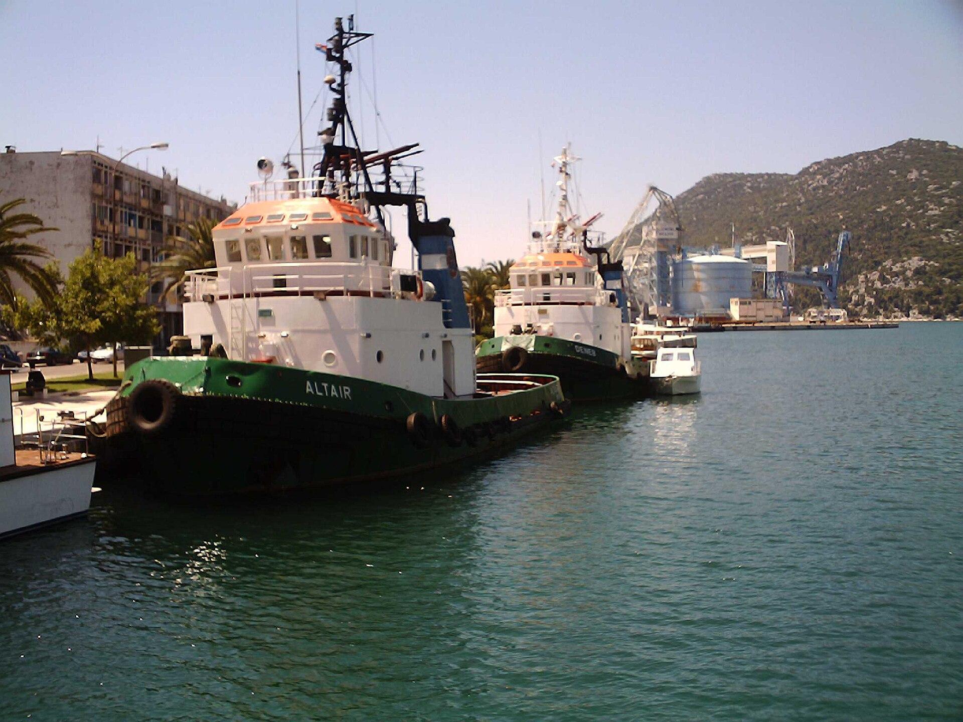 Local overview of Ploče
Ploče
Ploče is a port town near the mouth of the Neretva, with lakes, wetland scenery and the Pelješac crossing close to its everyday transport role. It makes sense as a base for exploring the lower river landscape, rather than expecting another compact medieval Dalmatian old town.
Get to know the place
Makarska
Makarska sits between a busy Adriatic waterfront and the steep limestone backdrop of Biokovo. It suits a holiday that alternates beach mornings, old-town evenings and a properly planned mountain outing.
Get to know the placePhoto credits4
- Depicts: OrebićIzmeđu dvi stine1140337. Author: Quahadi Añtó 15:42, 15 January 2011 (UTC). Credit: Own work. License: CC BY-SA 3.0 (https://creativecommons.org/licenses/by-sa/3.0). Source: https://commons.wikimedia.org/wiki/File:Izme%C4%91u_dvi_stine1140337.JPGCropped to fit the display.
- Area image: Marina Korcula — Area near Korčula CityMarina Korcula - panoramio - lienyuan lee. Author: lienyuan lee. Credit: https://www.panoramio.com/photo/134159326. License: CC BY 3.0 (https://creativecommons.org/licenses/by/3.0). Source: https://commons.wikimedia.org/wiki/File:Marina_Korcula_-_panoramio_-_lienyuan_lee.jpgCropped to fit the display.
- Area image: Hafen Ploce, Altair, Ex Trudbenik — local overview of Ploče.068 Ploce. Author: Silvio John, Elsterwerda. Credit: Own work. License: CC BY 2.5 (https://creativecommons.org/licenses/by/2.5). Source: https://commons.wikimedia.org/wiki/File:068_Ploce.jpgCropped to fit the display.
- Depicts: MakarskaUrbanistička cjelina Makarske. Author: SKas. Credit: Own work. License: CC BY-SA 4.0 (https://creativecommons.org/licenses/by-sa/4.0). Source: https://commons.wikimedia.org/wiki/File:Urbanisti%C4%8Dka_cjelina_Makarske.jpgCropped to fit the display.
