
Steilacoom, Washington.
Steilacoom is a small South Puget Sound town whose historic streets descend toward a working ferry landing and views across the water. Its appeal is a combination of older buildings, modest museums, neighbourhood food and two public shoreline parks. A slow walk through the centre can be worthwhile even when you are not continuing to an island.
Photo credits1
- Depicts: Steilacoom, WashingtonSteilacoom, Washington aerial view in 2024. Author: Quintin Soloviev. Credit: Own work. License: CC BY 4.0 (https://creativecommons.org/licenses/by/4.0). Source: https://commons.wikimedia.org/wiki/File:Steilacoom,_Washington_aerial_view_in_2024.jpgCropped to fit the display.
Make your way to Steilacoom, Washington
Choose a tool and your dates to check the options for your trip.
More ways to explore
- Country
- United States
- Currency
- USD
- Time zone
- America/Los Angeles
Steilacoom is a small South Puget Sound town whose historic streets descend toward a working ferry landing and views across the water. Its appeal is a combination of older buildings, modest museums, neighbourhood food and two public shoreline parks. A slow walk through the centre can be worthwhile even when you are not continuing to an island.
The Union Avenue terminal serves Anderson and Ketron islands through Pierce County’s ferry system. It is separate from the Point Defiance–Vashon service farther north. Allow time to explore before joining the correct boarding queue, and remember that the sloping streets above the water are part of the town’s character rather than a flat promenade extending everywhere.
When to go
Warm-weather visits suit shoreline picnics and the summer concert setting at Pioneer Orchard Park. The historical museum’s published season is April–October, with weekend openings and winter closure; the building should not be promised as an indoor winter option. Town parks use daylight-based hours. In wetter months, a shorter historic-street walk and a confirmed café opening may fit better than an extended beach plan.
Getting there
The Pierce County ferry landing is at 56 Union Avenue. Its published 2026 instructions require vehicles, drivers and passengers to be positioned with tickets twenty minutes before departure. Check current rider alerts in addition to the timetable: the county’s October 27, 2026 update says service was restored that afternoon after the October 24 mechanical interruption. That dated restoration is not a guarantee for a later sailing.
Getting around
Pierce Transit route 212 links Commercial Street and Union Avenue with Lakewood Transit Center. Check the actual trip: some services on the route table stop short of the ferry-side endpoint. Within the centre, walking lets you see the historic buildings, but allow for hills on the return. A bus connection, ferry ticket and any onward island transport are separate arrangements; coordinate them before leaving your vehicle behind.
Local food
The town’s current business directory lists breakfast and lunch food, pub meals, chowder, coffee and pastries, plus a small wine-bar and taproom scene. The historic drugstore’s soda-fountain tradition connects a snack stop with local history. Plan a sit-down meal before boarding rather than assuming an island kitchen will be available when you arrive. Individual businesses have their own opening days, particularly for breakfast or lunch service.
What to see
The historical museum and Orr property explain settler-era homes and trades, while acknowledging the earlier and continuing Coast Salish presence, including the Steilacoom Tribe. The wagon shop adds a practical dimension to that history. Bair Drug & Hardware is an 1895 building preserved as a living museum, with pharmacy and shop objects around its food-service setting. Treat it as one historic stop, not a substitute for the separate museum collection.
Towns and neighbourhoods
Old Town is the useful visitor focus around the historic street grid above the ferry. Saltar’s Point is a separate southern shoreline neighbourhood; Sunnyside Beach lies toward Chambers Creek Road. The chamber also identifies Madrona, Cherrydale and Rigney as residential neighbourhoods. Choose a compact centre walk or a beach outing rather than assuming every named area has a commercial district or a waterfront path connecting it.
Coast and outdoors
Sunnyside Beach has a longer stretch of saltwater shoreline, picnic facilities and a playground, with designated access across the railway. Saltar’s Point offers a smaller beach, a picnic shelter and stone structures from the 1930s; its footbridge crosses the tracks. Use those established crossings and park entrances. Neither a photograph of the Sound nor a ferry view proves that the intervening railway-side shore is publicly accessible.
Where to stay
The town lists a small bed-and-breakfast option, while the wider official accommodation directory offers a broader choice in Lakewood and Tacoma. Confirm an actual room and address rather than relying on an old historic-inn reference. Staying locally suits a quiet evening and early ferry; a Lakewood base can work with route 212 or a drive, while Tacoma adds more city activities with a longer transfer.
Useful before you go
Sunnyside Beach has a non-resident parking charge and prohibits alcohol in outdoor areas; check the current posted terms. Keep clear of railway tracks except at designated crossings. Ketron has special departure arrangements and fewer calls, so read its instructions before adding it to an island itinerary. The McNeil Island service is restricted transport for authorised users, not an extra sightseeing ferry available to everyone.
Good to know before you go
Does this ferry go to Vashon?
No. The county route serves Anderson and Ketron; Vashon’s southern ferry leaves from Point Defiance.
Can I use the museum as a winter activity?
Its published opening season is April–October and it closes for winter. Verify special events separately.
Is there a bus connection to the landing?
Route 212 reaches Commercial Street and Union Avenue, but not every trip in its timetable serves that endpoint.
Is the October ferry interruption still the latest official status?
The county FAQ updated October 27, 2026 records service restored that afternoon. Check current alerts for your travel day.
Can visitors take the McNeil Island boat for sightseeing?
No. The transit operator describes that boat as restricted to employees and pre-approved visitors.
Sources & references
These references support the guide. Confirm opening hours, access and travel services before you go.
- 01Local chamber: town scale, neighbourhoods and seasonal park activity
- 02Historical association: Coast Salish context, collection and winter closure
- 03Historical association: exact Bair building history
- 04Town: local historical sequence and distinct heritage sites
- 05Town: Saltars Point facilities and railway footbridge
- 06Town: Sunnyside facilities and railway/parking rules
- 07Town: actual dining categories and limited local accommodation
- 08County: exact ferry landing
- 09County: current 2026 boarding rules and Ketron conditions
- 10County: dated October 27 restoration superseding outage claims
- 11Transit operator: route 212 endpoint and short-running trips
- 12Transit operator: restricted McNeil Island boat
- 13Official tourism: wider Lakewood/Tacoma accommodation
Where could the journey go next?
More guides in United States. Compare the places and check actual connections before combining stops.
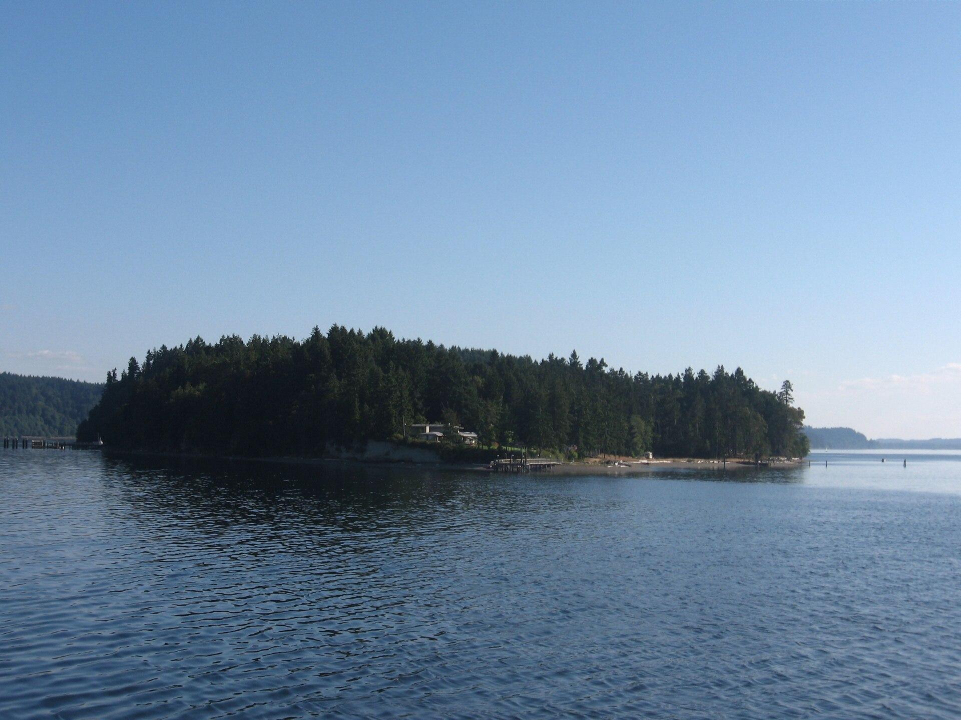
Ketron Island
Ketron is a small, mostly wooded island off Steilacoom in southern Puget Sound. Pierce County describes a sparse residential community concentrated toward its northern end. Its ferry connection is valuable transport for residents and their visitors, but a stop on the route does not make the island a developed sightseeing destination.
Get to know the place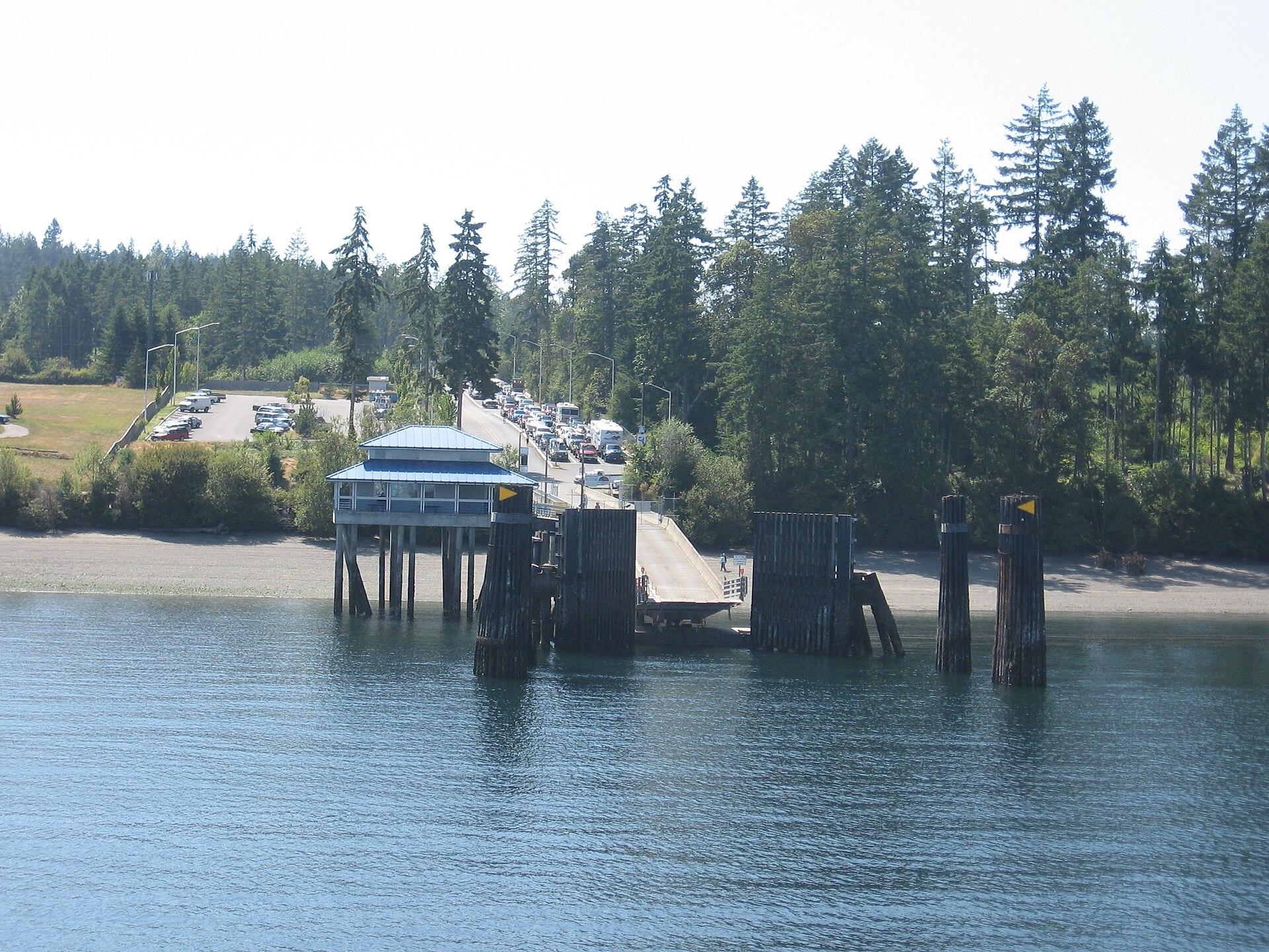
Anderson Island
Anderson Island is a wooded residential island in southern Puget Sound, reached by Pierce County ferry from Steilacoom. Its best reasons to visit are forest paths, saltwater coves and the Johnson Farm’s rural history. Plan a few distinct stops with transport between them; this is not a compact resort town gathered around the ferry dock.
Get to know the place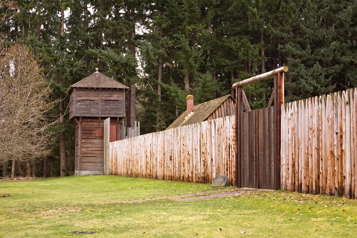 Area near Point Defiance
Point Defiance
Point Defiance is Tacoma’s wooded northern peninsula, where a ferry landing, gardens, a zoo and aquarium, historic interpretation and public shoreline sit within a much larger park landscape. It works as a destination in its own right, not simply a waiting area for the boat. Choose one major attraction and leave time for the waterfront or a forest trail.
Get to know the place
Vashon Island
Vashon is a rural Puget Sound island where a trip can move between small-town cafés, farm produce, woodland paths and a lighthouse shore. The useful unit for planning is Vashon-Maury: Point Robinson lies on Maury Island, while the main town and the northern ferry landing are elsewhere. An attractive photograph of the lighthouse is not a promise that it sits beside your arrival dock.
Get to know the placePhoto credits4
- Depicts: Ketron IslandKetronIsland. Author: Drums600 at English Wikipedia. Credit: Transferred from en.wikipedia to Commons.. License: Public domain (https://creativecommons.org/publicdomain/mark/1.0/). Source: https://commons.wikimedia.org/wiki/File:KetronIsland.jpg
- Depicts: Anderson IslandYomandock. Author: Drums600 at English Wikipedia. Credit: Transferred from en.wikipedia to Commons.. License: Public domain (https://creativecommons.org/publicdomain/mark/1.0/). Source: https://commons.wikimedia.org/wiki/File:Yomandock.jpg
- Area image: Fort Nisqually bastion and extra entrance — Area near Point DefianceFort Nisqually bastion and extra entrance. Author: Steven Pavlov. Credit: Own work. License: CC BY-SA 3.0 (https://creativecommons.org/licenses/by-sa/3.0). Source: https://commons.wikimedia.org/wiki/File:Fort_Nisqually_bastion_and_extra_entrance.jpgCropped to fit the display.
- Depicts: Vashon IslandMaury Island meets Vashon Island. Author: Dicklyon. Credit: Own work. License: CC BY-SA 4.0 (https://creativecommons.org/licenses/by-sa/4.0). Source: https://commons.wikimedia.org/wiki/File:Maury_Island_meets_Vashon_Island.jpgCropped to fit the display.
