Point Defiance.
Point Defiance is Tacoma’s wooded northern peninsula, where a ferry landing, gardens, a zoo and aquarium, historic interpretation and public shoreline sit within a much larger park landscape. It works as a destination in its own right, not simply a waiting area for the boat. Choose one major attraction and leave time for the waterfront or a forest trail.
Photo credits1
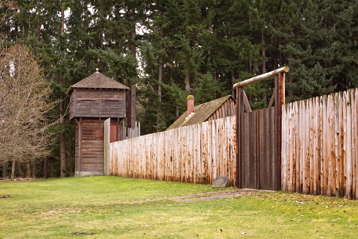
- Area image: Fort Nisqually bastion and extra entrance — Area near Point DefianceFort Nisqually bastion and extra entrance. Author: Steven Pavlov. Credit: Own work. License: CC BY-SA 3.0 (https://creativecommons.org/licenses/by-sa/3.0). Source: https://commons.wikimedia.org/wiki/File:Fort_Nisqually_bastion_and_extra_entrance.jpgCropped to fit the display.
Make your way to Point Defiance
Choose a tool and your dates to check the options for your trip.
More ways to explore
- Country
- United States
- Currency
- USD
- Time zone
- America/Los Angeles
Point Defiance is Tacoma’s wooded northern peninsula, where a ferry landing, gardens, a zoo and aquarium, historic interpretation and public shoreline sit within a much larger park landscape. It works as a destination in its own right, not simply a waiting area for the boat. Choose one major attraction and leave time for the waterfront or a forest trail.
The ferry crosses to Tahlequah at the south end of Vashon Island. The park, terminal and neighbouring Point Ruston waterfront are connected geographically but have different entrances, parking arrangements and opening rules. This is not the Steilacoom departure point for Anderson Island: make sure your route and terminal match before setting off.
When to go
Garden displays, beach weather and forest conditions change with the seasons, and the park’s day-use hours follow daylight. The zoo’s current autumn listing, checked October 29, 2026, closes Tuesdays and Wednesdays with a stated November 11 exception; verify your date rather than assuming daily opening. Dune Peninsula events can temporarily restrict ordinary park and parking access, so check the event calendar as well as the general park page.
Getting there
Washington State Ferries uses 5810 North Pearl Street for the Tahlequah crossing. Follow ferry signs at the park entrance rather than driving into the park’s internal road system. Tickets do not guarantee space, and this route is outside WSDOT’s vehicle-reservation routes. From Tacoma, Pierce Transit identifies routes 10 and 11 as connections with the Point Defiance ferry; use the current stop and timetable for your journey.
Getting around
The outer section of Five Mile Drive is permanently closed to motor vehicles and used by walkers and cyclists. That restriction is different from the Loop Trail construction: Parks Tacoma reports its second phase completed and reopened in July 2026. Wilson Way provides a pedestrian and cycling connection to the waterfront. Inside the forest, choose marked trails and allow for gradients rather than measuring your day only by the paved-road distance.
Local food
The nearby Ruston Way waterfront is associated with Northwest seafood and chowder, while Point Ruston adds pizza, burgers, cafés and other casual meals. These dining areas are useful before or after the park rather than relying on every seasonal concession being open. Pack a picnic for a longer forest walk and confirm the specific kitchen’s opening if you are arriving close to an evening ferry.
What to see
The Pacific Seas Aquarium inside Point Defiance Zoo explores habitats from the cold Northwest coast to Baja California, including marine life associated with Puget Sound. Fort Nisqually interprets an 1855 trading and agricultural community; it is a reconstructed setting containing relocated historic buildings, not the fort’s original site near today’s DuPont. The gardens near the park entrance provide a shorter visit, while Dune Peninsula adds public art and broad waterfront views.
Towns and neighbourhoods
The Pearl Street approach reaches the lower park and ferry area, while the wooded interior spreads uphill around the zoo, Fort Nisqually and trail network. Owen Beach is a separate shore destination inside the park. Dune Peninsula and Wilson Way link the park edge with the Ruston waterfront. Use the official map to choose a sensible loop: distances and elevation make it impractical to treat every attraction as immediately beside the dock.
Coast and outdoors
Owen Beach offers the main beach outing, with a promenade, picnic facilities and access to the forest above. Dune Peninsula provides paved waterfront walking rather than an invitation to scramble down every rocky edge. The official park map marks impassable shoreline and private Salmon Beach property. Stay on public paths, respect bluff fencing and do not assume that a low tide creates a safe walking circuit around the entire point.
Where to stay
Point Ruston and Ruston Way accommodation suits travellers wanting waterfront dining near the park area. Check the exact address: hotels sharing a waterfront description can be at different points along the shore. A broader Tacoma base can suit a longer city visit, with a separate bus or drive to Point Defiance. Choose lodging around that onward journey instead of assuming that the ferry terminal or park contains a hotel.
Useful before you go
Owen Beach is closed to clam, mussel and oyster harvesting year-round under the state’s published beach guidance. Leave shore life undisturbed. Park access does not include admission to every attraction, so verify zoo and museum arrangements separately. The former industrial shoreline around Dune Peninsula includes restored habitat and engineered protection; use established paths. Before driving to a ferry, check current alerts and any restrictions relevant to an oversized or low-clearance vehicle.
Good to know before you go
Which island does this ferry serve?
Tahlequah on southern Vashon Island. Anderson and Ketron use the separate Steilacoom route.
Can I drive all the way around Five Mile Drive?
No. Its outer loop remains permanently closed to motor vehicles; the inner park roads are a different network.
Is the new Loop Trail still under construction?
The official project page says phase two was completed and reopened in July 2026. Check for separate short-term works.
Is Fort Nisqually in its original location?
No. The museum reconstructs the 1855 setting in Point Defiance using relocated original buildings alongside other structures.
Can I collect oysters at Owen Beach?
No. The state lists clam, mussel and oyster harvest closed year-round.
Sources & references
These references support the guide. Confirm opening hours, access and travel services before you go.
- 01Parks authority: attractions and current park organisation
- 02Parks authority: July 2026 Loop Trail completion, superseding old detours
- 03Parks authority: permanent outer-loop vehicle closure
- 04Official map: exact areas, impassable shore and private Salmon Beach
- 05Zoo: current autumn opening days and exception
- 06Aquarium: Pacific habitats
- 07Fort museum: reconstructed 1855 interpretation and relocated original site
- 08Fort museum: original buildings and agricultural interpretation
- 09Parks authority: Dune Peninsula, art and Wilson Way connection
- 10WSDOT: exact terminal and ticket limitations
- 11WSDOT: reservation routes and relevant vehicle restrictions
- 12Transit operator: specific ferry bus connections
- 13Official tourism: waterfront food and accommodation settings
- 14Official tourism: Ruston accommodation and neighbourhood
- 15State wildlife department: year-round shellfish harvest closure
- 16Parks authority: temporary event restrictions and protected shoreline
Where could the journey go next?
More guides in United States. Compare the places and check actual connections before combining stops.

Vashon Island
Vashon is a rural Puget Sound island where a trip can move between small-town cafés, farm produce, woodland paths and a lighthouse shore. The useful unit for planning is Vashon-Maury: Point Robinson lies on Maury Island, while the main town and the northern ferry landing are elsewhere. An attractive photograph of the lighthouse is not a promise that it sits beside your arrival dock.
Get to know the place
Steilacoom, Washington
Steilacoom is a small South Puget Sound town whose historic streets descend toward a working ferry landing and views across the water. Its appeal is a combination of older buildings, modest museums, neighbourhood food and two public shoreline parks. A slow walk through the centre can be worthwhile even when you are not continuing to an island.
Get to know the place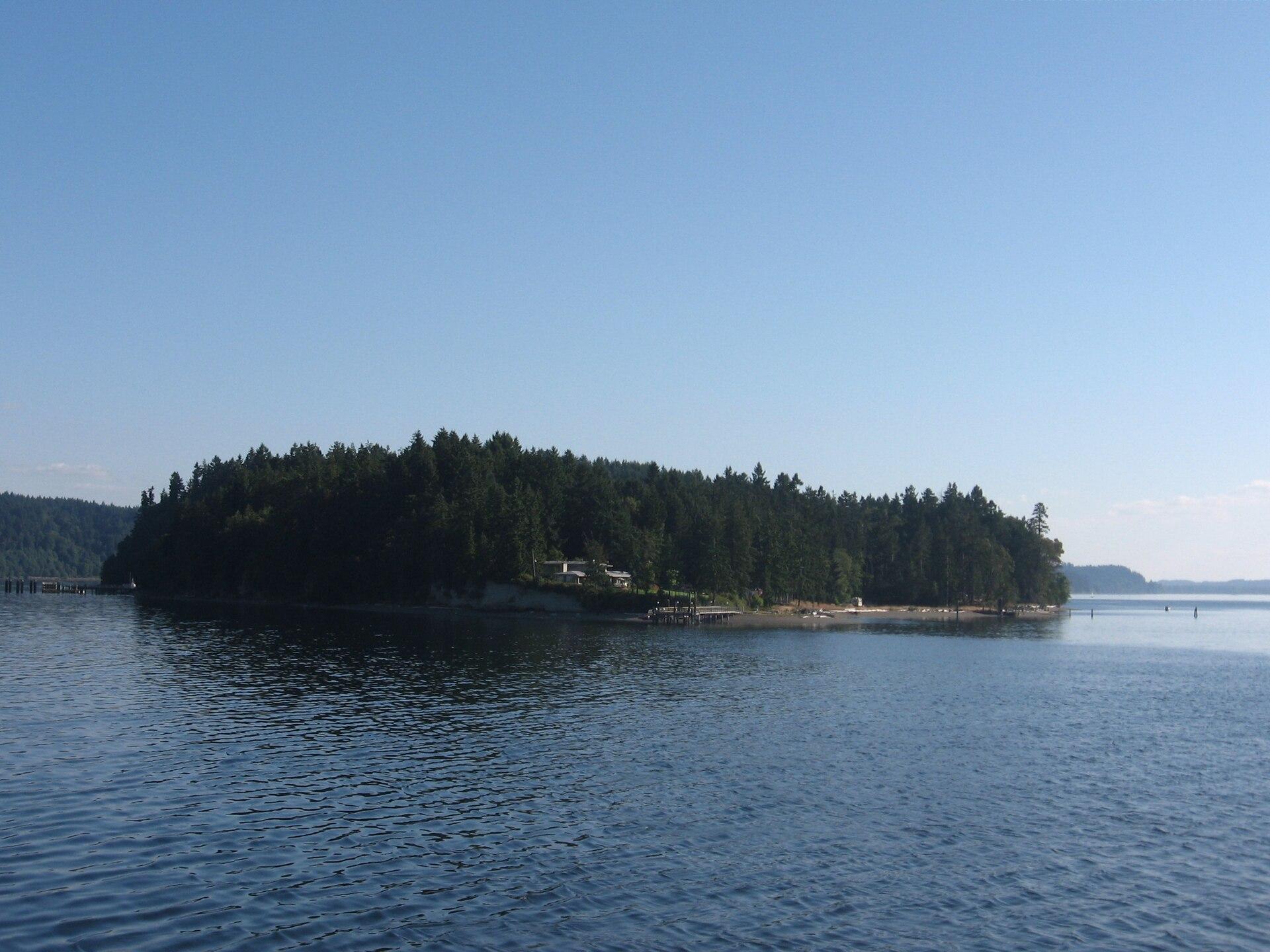
Ketron Island
Ketron is a small, mostly wooded island off Steilacoom in southern Puget Sound. Pierce County describes a sparse residential community concentrated toward its northern end. Its ferry connection is valuable transport for residents and their visitors, but a stop on the route does not make the island a developed sightseeing destination.
Get to know the place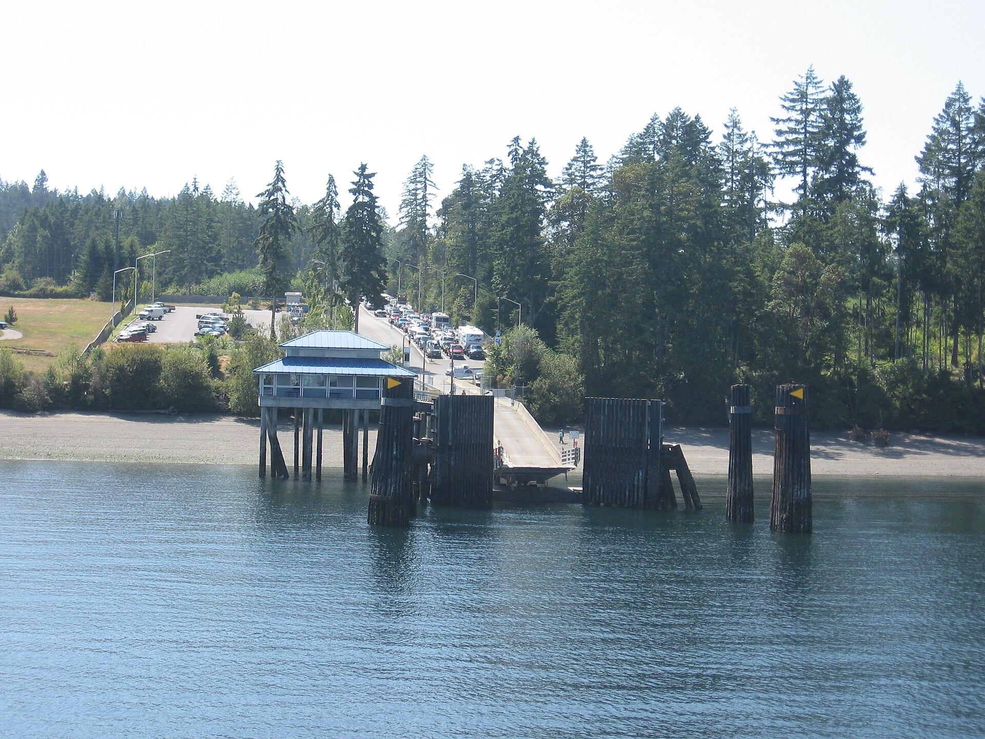
Anderson Island
Anderson Island is a wooded residential island in southern Puget Sound, reached by Pierce County ferry from Steilacoom. Its best reasons to visit are forest paths, saltwater coves and the Johnson Farm’s rural history. Plan a few distinct stops with transport between them; this is not a compact resort town gathered around the ferry dock.
Get to know the placePhoto credits4
- Depicts: Vashon IslandMaury Island meets Vashon Island. Author: Dicklyon. Credit: Own work. License: CC BY-SA 4.0 (https://creativecommons.org/licenses/by-sa/4.0). Source: https://commons.wikimedia.org/wiki/File:Maury_Island_meets_Vashon_Island.jpgCropped to fit the display.
- Depicts: Steilacoom, WashingtonSteilacoom, Washington aerial view in 2024. Author: Quintin Soloviev. Credit: Own work. License: CC BY 4.0 (https://creativecommons.org/licenses/by/4.0). Source: https://commons.wikimedia.org/wiki/File:Steilacoom,_Washington_aerial_view_in_2024.jpgCropped to fit the display.
- Depicts: Ketron IslandKetronIsland. Author: Drums600 at English Wikipedia. Credit: Transferred from en.wikipedia to Commons.. License: Public domain (https://creativecommons.org/publicdomain/mark/1.0/). Source: https://commons.wikimedia.org/wiki/File:KetronIsland.jpg
- Depicts: Anderson IslandYomandock. Author: Drums600 at English Wikipedia. Credit: Transferred from en.wikipedia to Commons.. License: Public domain (https://creativecommons.org/publicdomain/mark/1.0/). Source: https://commons.wikimedia.org/wiki/File:Yomandock.jpg
