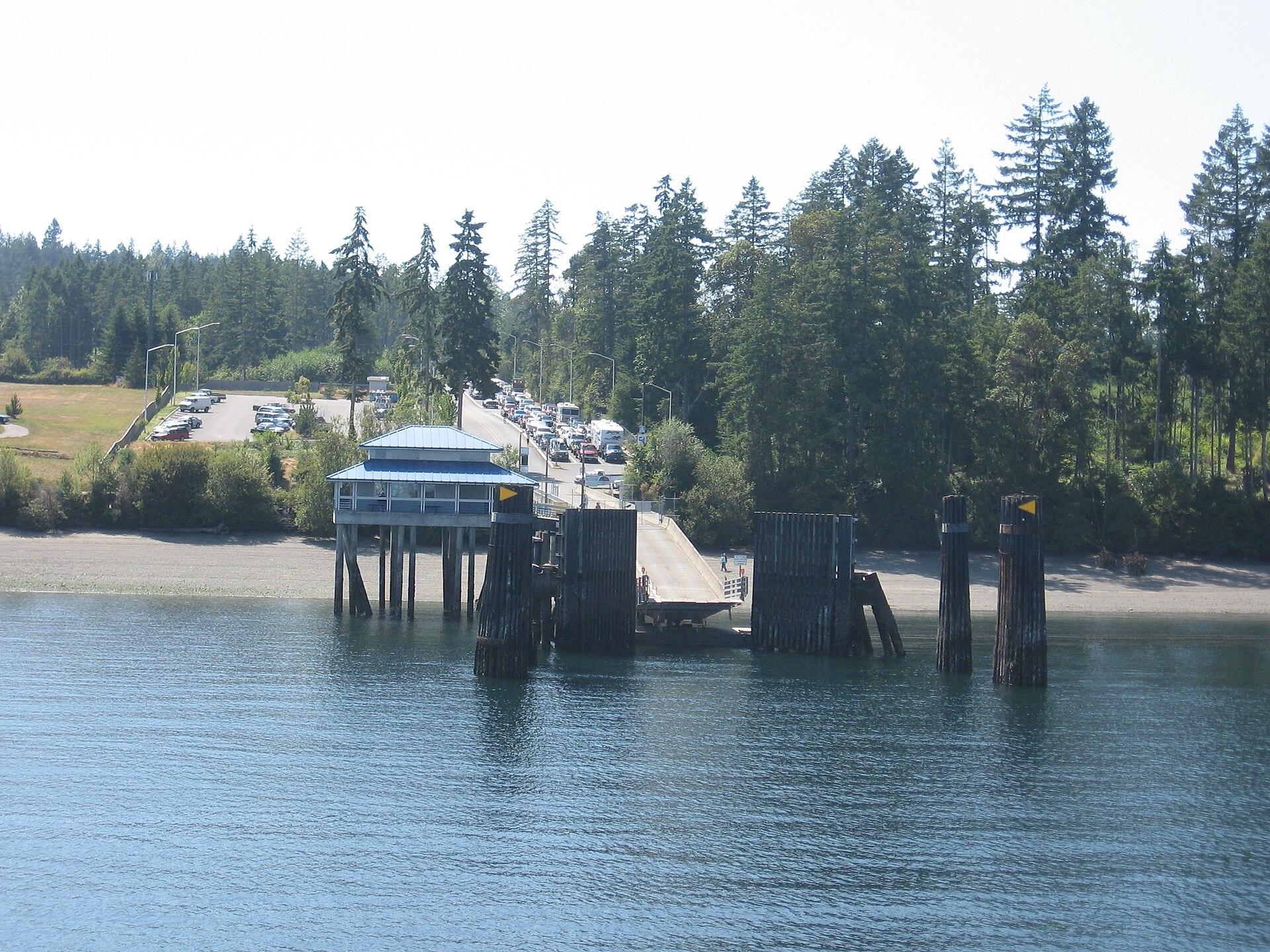
Anderson Island.
Anderson Island is a wooded residential island in southern Puget Sound, reached by Pierce County ferry from Steilacoom. Its best reasons to visit are forest paths, saltwater coves and the Johnson Farm’s rural history. Plan a few distinct stops with transport between them; this is not a compact resort town gathered around the ferry dock.
Photo credits1
- Depicts: Anderson IslandYomandock. Author: Drums600 at English Wikipedia. Credit: Transferred from en.wikipedia to Commons.. License: Public domain (https://creativecommons.org/publicdomain/mark/1.0/). Source: https://commons.wikimedia.org/wiki/File:Yomandock.jpg
Make your way to Anderson Island
Choose a tool and your dates to check the options for your trip.
More ways to explore
- Country
- United States
- Currency
- USD
- Time zone
- America/Los Angeles
Anderson Island is a wooded residential island in southern Puget Sound, reached by Pierce County ferry from Steilacoom. Its best reasons to visit are forest paths, saltwater coves and the Johnson Farm’s rural history. Plan a few distinct stops with transport between them; this is not a compact resort town gathered around the ferry dock.
The island also requires more preparation than older travel articles suggest. As checked on October 29, 2026, the park district reports the general store and café closed, with no public fuel, groceries or ice available. The public swimming hole remains closed too. Bring supplies and build a visit around confirmed public parks rather than assuming all lakefronts and community facilities are open to visitors.
When to go
The historical society’s summer weekends and seasonal farm events add interest beyond the trails. Wetter months can make the woodland paths muddy, while short daylight limits how much fits between ferry crossings. Do not plan around an assumed summer swimming season: the park district’s May 8, 2026 closure of Lowell Johnson Park continued at this review, including its beach, toilets and parking, with no reopening date announced.
Getting there
Use the Pierce County ferry from Steilacoom, not the state ferry from Point Defiance to Vashon. The county’s 2026 instructions ask vehicles, drivers and passengers to be in position with tickets twenty minutes before departure. Its October 27 update records service restored after an October 24 mechanical interruption. Check travel-day alerts as well as the timetable; that dated restoration does not guarantee a later crossing.
Getting around
Plan your island transport before choosing to travel as a foot passenger. Farm, lakes and coastal trailheads are separate outings, so a vehicle or a realistic cycling plan changes what can fit into a day. Within district parks, bicycle use is restricted to the designated Jane Cammon hike-and-bike area. Leave bicycles at permitted access points when a walking-only trail begins, and allow extra time for beach stairs and the uphill return.
Local food
The park district identifies Riviera Lakeshore Restaurant as the island’s remaining dining option during the store closure. Its own page describes sandwiches, steaks and seafood beside Lake Josephine, with separate breakfast and other menus. Confirm service before relying on a meal there. Pack drinking water and picnic food on the mainland: a restaurant opening does not replace a grocery store or a place to refuel your vehicle.
What to see
Historic Johnson Farm preserves the homestead developed by Finnish immigrants John and Alma Johnson from 1896. The farmhouse, barn and poultry-farm buildings make a useful contrast to the island’s shore excursions. The historical society operates the museum and holds seasonal events; confirm its visitor calendar rather than expecting daily access. At Jacob’s Point, the surviving brickyard chimney adds another trace of working-island history along the wooded trail system.
Towns and neighbourhoods
The ferry arrives at the northern landing, while the farm is inland on Otso Point Road. Lake Josephine and the Riviera community occupy a different part of the island from the western coast at Andy’s Marine Park. The old Ocean City ferry in Oro Bay is a private-property landmark, not a museum vessel to board. Arrange stops by road and respect residential entrances rather than following every shoreline visible on a map.
Coast and outdoors
Andy’s Marine Park has an approximately one-mile woodland approach each way to Carlson Bay, with steep beach steps and a protected tidal nursery. Jacob’s Point combines woods, wetlands, a boardwalk and shore access; tide and mud conditions affect a beach walk. Dogs are prohibited at both parks. Take suitable footwear, and do not turn a short coastal photograph stop into a shoreline traverse without checking the return route.
Where to stay
Riviera’s campground, marina and park-model accommodation are private facilities for members and invited guests; a member must make the relevant reservation. Andy’s Marine Park camping requires advance district arrangements and is limited to eligible water-trail members or island property owners. Confirm accommodation and eligibility before crossing. A mainland base in Steilacoom or the wider Tacoma area is a practical alternative when no island overnight stay is arranged.
Useful before you go
Public park access does not grant use of private Riviera lake beaches or other residential shorelines. The district says there is no alternative public freshwater swimming location while Lowell Johnson Park is closed. Observe posted daylight hours, remove rubbish and leave wildlife undisturbed. Carry enough food, water and vehicle fuel for the visit; the current store closure is an important difference from older island guides.
Good to know before you go
Can I buy groceries or fuel on arrival?
The park district currently reports the store and café closed and no public fuel, groceries or ice. Prepare on the mainland.
Is the public swimming hole open?
No. Lowell Johnson Park remains closed in the October 29, 2026 review, without a confirmed reopening date.
Can any visitor book the Riviera campground?
No. It is a private member-and-guest facility, with reservations made by eligible members.
Can I bring a dog to the coastal trails?
Jacob’s Point and Andy’s Marine Park prohibit dogs. Check rules for each park separately.
Which mainland ferry should I use?
Pierce County’s Steilacoom ferry serves Anderson Island. Point Defiance is the separate Vashon route.
Sources & references
These references support the guide. Confirm opening hours, access and travel services before you go.
- 01Park district: current store closure and limited island services
- 02Park district: Jacobs Point trails, shore conditions and dog restriction
- 03Park district: Andys Marine access and restricted camping eligibility
- 04Park district: dated swimming-hole closure and no alternative public lake access
- 05Park district: bicycle, wildlife and daylight-use rules
- 06Historical society: Johnson family farm history and location
- 07Historical society: museum and seasonal events
- 08Official tourism: distinct island areas and private Ocean City vessel; old service claims superseded
- 09County: correct Anderson ferry route
- 10County: published 2026 boarding instructions
- 11County: October 27 restoration update
- 12Restaurant operator: lake setting and actual meal categories
- 13Club: private facilities and member reservation conditions
- 14Club: current campground eligibility policy
Where could the journey go next?
More guides in United States. Compare the places and check actual connections before combining stops.
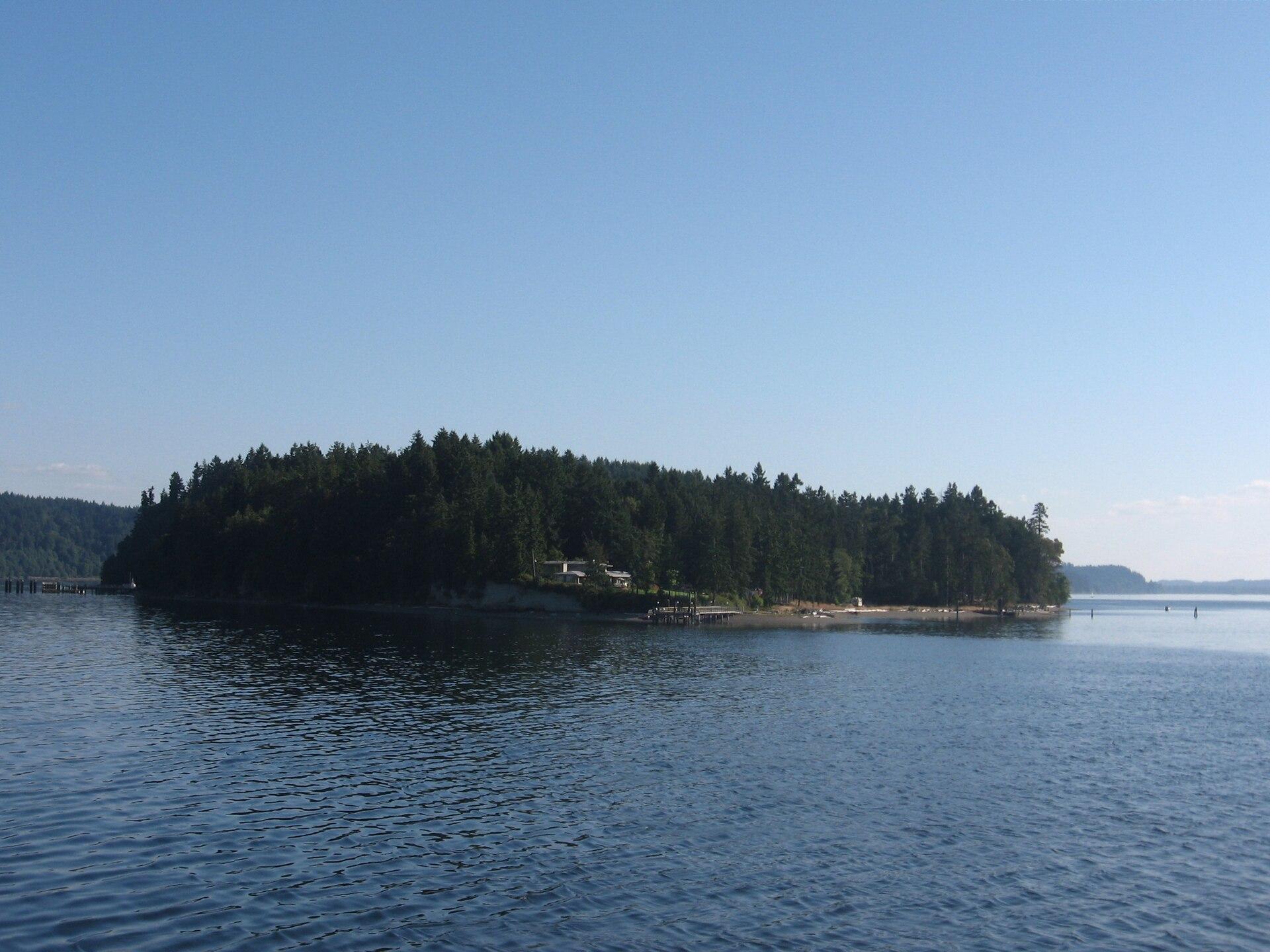
Ketron Island
Ketron is a small, mostly wooded island off Steilacoom in southern Puget Sound. Pierce County describes a sparse residential community concentrated toward its northern end. Its ferry connection is valuable transport for residents and their visitors, but a stop on the route does not make the island a developed sightseeing destination.
Get to know the place
Steilacoom, Washington
Steilacoom is a small South Puget Sound town whose historic streets descend toward a working ferry landing and views across the water. Its appeal is a combination of older buildings, modest museums, neighbourhood food and two public shoreline parks. A slow walk through the centre can be worthwhile even when you are not continuing to an island.
Get to know the place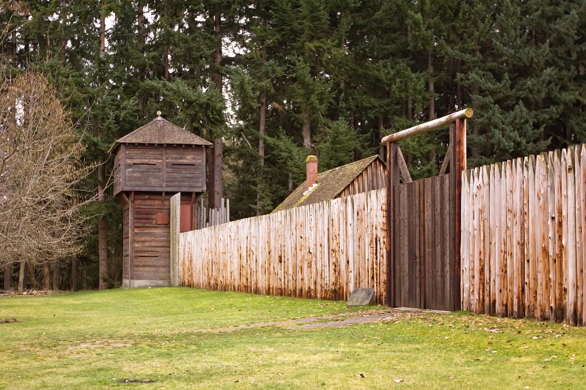 Area near Point Defiance
Point Defiance
Point Defiance is Tacoma’s wooded northern peninsula, where a ferry landing, gardens, a zoo and aquarium, historic interpretation and public shoreline sit within a much larger park landscape. It works as a destination in its own right, not simply a waiting area for the boat. Choose one major attraction and leave time for the waterfront or a forest trail.
Get to know the place
Vashon Island
Vashon is a rural Puget Sound island where a trip can move between small-town cafés, farm produce, woodland paths and a lighthouse shore. The useful unit for planning is Vashon-Maury: Point Robinson lies on Maury Island, while the main town and the northern ferry landing are elsewhere. An attractive photograph of the lighthouse is not a promise that it sits beside your arrival dock.
Get to know the placePhoto credits4
- Depicts: Ketron IslandKetronIsland. Author: Drums600 at English Wikipedia. Credit: Transferred from en.wikipedia to Commons.. License: Public domain (https://creativecommons.org/publicdomain/mark/1.0/). Source: https://commons.wikimedia.org/wiki/File:KetronIsland.jpg
- Depicts: Steilacoom, WashingtonSteilacoom, Washington aerial view in 2024. Author: Quintin Soloviev. Credit: Own work. License: CC BY 4.0 (https://creativecommons.org/licenses/by/4.0). Source: https://commons.wikimedia.org/wiki/File:Steilacoom,_Washington_aerial_view_in_2024.jpgCropped to fit the display.
- Area image: Fort Nisqually bastion and extra entrance — Area near Point DefianceFort Nisqually bastion and extra entrance. Author: Steven Pavlov. Credit: Own work. License: CC BY-SA 3.0 (https://creativecommons.org/licenses/by-sa/3.0). Source: https://commons.wikimedia.org/wiki/File:Fort_Nisqually_bastion_and_extra_entrance.jpgCropped to fit the display.
- Depicts: Vashon IslandMaury Island meets Vashon Island. Author: Dicklyon. Credit: Own work. License: CC BY-SA 4.0 (https://creativecommons.org/licenses/by-sa/4.0). Source: https://commons.wikimedia.org/wiki/File:Maury_Island_meets_Vashon_Island.jpgCropped to fit the display.
