
Honduras.
Honduras offers distinct journeys through Caribbean islands, forested mountains and Maya history. Roatán and Utila attract travellers interested in reefs and time on the water, while mainland destinations such as Copán and the forests near La Ceiba deserve their own days. Start with the experience you want, then choose the practical arrival route.
Photo credits1
- Depicts: Honduras
A little closer to Honduras
Geography, regions and practical details from the country guide. Go straight to a chapter, or browse every destination below.
Go straight to the destinationsHonduras offers distinct journeys through Caribbean islands, forested mountains and Maya history. Roatán and Utila attract travellers interested in reefs and time on the water, while mainland destinations such as Copán and the forests near La Ceiba deserve their own days. Start with the experience you want, then choose the practical arrival route.
A beach booking does not resolve every transfer. La Ceiba is a mainland city and ferry gateway; Roatán and Utila are separate islands. Allow for the journey from airport or bus stop to the correct terminal, followed by the transfer from the island landing to your accommodation.
Geography
Honduras lies in Central America between Guatemala, El Salvador and Nicaragua, with a Caribbean coast in the north and a Pacific-facing southern coast around the Gulf of Fonseca. Much of the interior is mountainous. These changes in elevation and exposure create different climates and landscapes within one country.
The Bay Islands belong to the Caribbean setting. Do not use the same travel assumptions for an island reef visit, a forest walk near La Ceiba and an inland archaeological itinerary. Each requires its own transport and local conditions check.
Regions to explore
Roatán offers reef-based activities and different coastal accommodation areas. Utila is another Bay Island destination with diving schools, mangroves and wetlands; choose an operator and activity appropriate to your experience rather than relying on wildlife promises.
Around La Ceiba, Pico Bonito National Park and the Río Cangrejal landscape introduce forests, rivers and guided outdoor activities. Farther inland, Copán's Maya monuments, plazas and hieroglyphic stairway reward a cultural visit. The town and archaeological park are different parts of that stay. The Lake Yojoa area offers a further option for a nature-focused mainland journey.
Languages
Spanish is the official language. Ask your accommodation or activity provider which languages its staff and guides use, rather than assuming English service throughout a trip. Keep the Spanish spelling of terminals, towns and pick-up points in your notes. When visiting a community, learn how residents prefer to introduce their own history and culture instead of expecting a single national story.
Money
The national currency is the lempira, HNL. Cards are accepted in many businesses, but payment options differ by provider and location. Clarify whether a quotation is in lempiras or US dollars and whether it includes the full transfer. Keep a small cash reserve for incidental purchases, while using current bank information for conversion rather than an old guidebook rate.
Local culture
Food varies across the country. Southern cooking includes seafood soups and corn-and-cheese rosquillas; in the west, Santa Rosa de Copán is associated with roast pork, corn preparations and coffee traditions. Ask what is being cooked that day and which ingredients are used, especially in soups and mixed dishes.
Cultural visits can range from Copán's Maya sculpture to the history presented in Tegucigalpa's Museo para la Identidad Nacional. Garifuna communities offer another distinct cultural context along the Caribbean side. Use locally led interpretation when possible, and ask permission before photographing people or community activities.
Practical information
Rainfall patterns vary between the mountainous interior and the humid Caribbean coast; a national dry-season label does not guarantee dry weather on an island. Check local forecasts and operator notices for sea journeys, and ask guides about river or trail conditions before an outdoor excursion.
Galaxy Wave publishes a La Ceiba–Roatán ferry service, but a route description is not a confirmed departure for your date. Verify terminal, baggage and check-in instructions directly. Allow a buffer before flights and arrange reputable onward transport. Security conditions differ between mainland districts and the Bay Islands: consult current official travel advice for the places on your route, including transfer cities, rather than treating the whole country as one risk level. Verify passport and entry requirements for your nationality before departure.
Good to know before you go
Is La Ceiba on Roatán?
No. La Ceiba is on the mainland. Roatán is an island reached by a separate crossing or flight.
Can I treat Utila and Roatán as the same booking destination?
No. They are separate islands with different landings, accommodation and travel arrangements.
Is Copán a beach destination?
No. It is an inland cultural destination associated with important Maya monuments and its neighbouring town.
Does dry season guarantee a calm ferry crossing?
No. Weather varies by region, and wind and sea conditions need a separate check with the operator.
Sources & references
These references support the guide. Confirm opening hours, access and travel services before you go.
- 01Honduras Tourism: practical information
- 02Honduras National Police: country geography and language
- 03Honduras Tourism: islands
- 04Honduras Tourism: nature
- 05UNESCO: Maya Site of Copan
- 06Honduras Tourism: culture and gastronomy
- 07Embassy of Honduras: regional climate
- 08Galaxy Wave: La Ceiba and Roatán route
- 09Government of Canada: current Honduras travel advice
Find your place in Honduras
Open the guides, get a feel for the differences between places, and find the ones that fit your plans.
La Ceiba
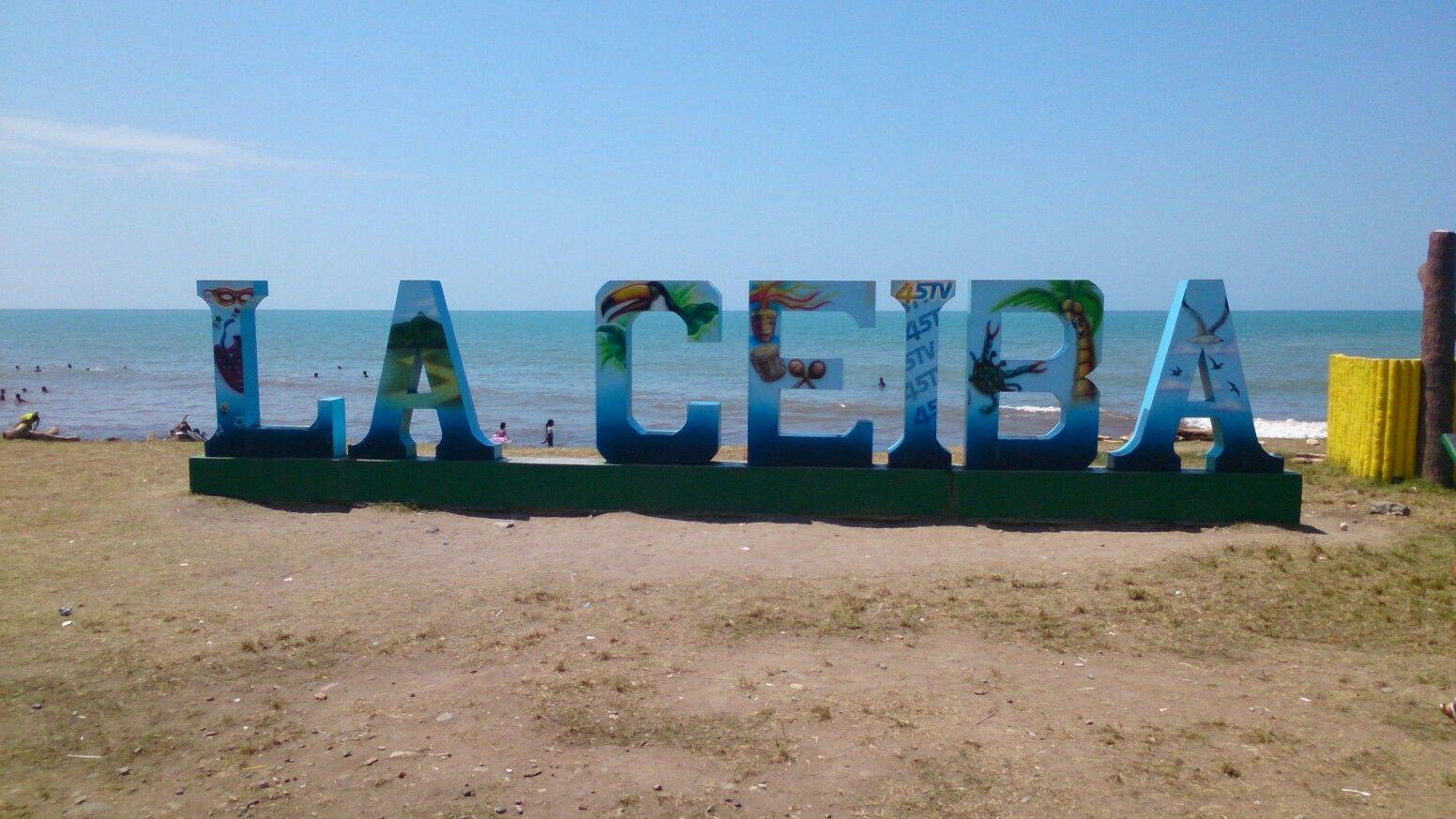
La Ceiba combines an urban Caribbean waterfront with access to Pico Bonito National Park and the Cangrejal River valley. The mountains of Nombre de Dios rise behind a city shaped by the banana trade. Its useful role as a transport base need not be the whole visit: allow time for rainforest scenery, river activities and the coastal communities nearby.
Read the field guide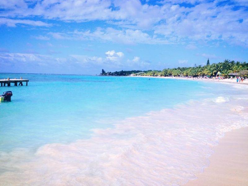
Roatán
Roatán stretches through the Bay Islands off Honduras, with a hilly interior and communities along a reef-fringed coast. Its west offers two distinct holiday settings: the waterfront village of West End and the resort beach of West Bay. Choose your base around the kind of days you want, from diving and village meals to a beachfront stay.
Read the field guide
Utila
Utila lies at the western end of Honduras’s Bay Islands, with a small-island rhythm centred on diving, waterfront accommodation and boat connections. Its reefs offer varied underwater terrain, but you do not have to spend the whole stay underwater: forest, mangroves and conservation projects reveal another side of the island.
Read the field guidePhoto credits3
- Depicts: La CeibaLetras de La Ceiba. Author: InterCoined. Credit: https://intercoined.com/school-locations/honduras/la-ceiba/. License: CC BY-SA 4.0 (https://creativecommons.org/licenses/by-sa/4.0). Source: https://commons.wikimedia.org/wiki/File:Letras_de_La_Ceiba.jpgCropped to fit the display.
- Depicts: RoatánWestbay2106. Author: Westbrowncanada. Credit: Roatan. License: CC BY-SA 3.0 (https://creativecommons.org/licenses/by-sa/3.0). Source: https://commons.wikimedia.org/wiki/File:Westbay2106.jpgCropped to fit the display.
- Depicts: UtilaRoad Near Munchies, Utila, Honduras. Author: Hoffryan at English Wikipedia. Credit: Transferred from en.wikipedia to Commons.. License: Public domain (https://creativecommons.org/publicdomain/mark/1.0/). Source: https://commons.wikimedia.org/wiki/File:Road_Near_Munchies,_Utila,_Honduras.jpg
