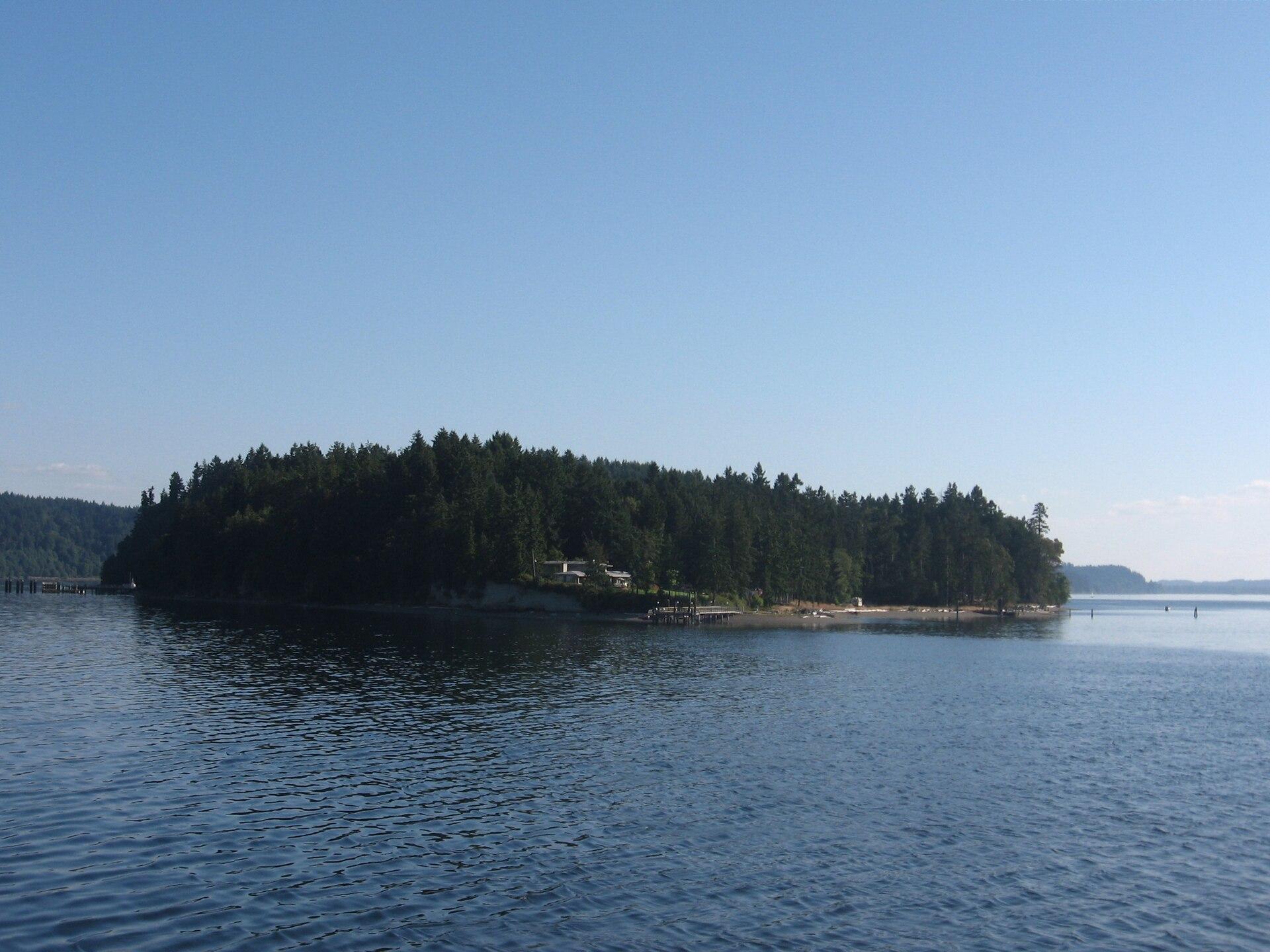
Ketron Island.
Ketron is a small, mostly wooded island off Steilacoom in southern Puget Sound. Pierce County describes a sparse residential community concentrated toward its northern end. Its ferry connection is valuable transport for residents and their visitors, but a stop on the route does not make the island a developed sightseeing destination.
Photo credits1
- Depicts: Ketron IslandKetronIsland. Author: Drums600 at English Wikipedia. Credit: Transferred from en.wikipedia to Commons.. License: Public domain (https://creativecommons.org/publicdomain/mark/1.0/). Source: https://commons.wikimedia.org/wiki/File:KetronIsland.jpg
Make your way to Ketron Island
Choose a tool and your dates to check the options for your trip.
More ways to explore
- Country
- United States
- Currency
- USD
- Time zone
- America/Los Angeles
Ketron is a small, mostly wooded island off Steilacoom in southern Puget Sound. Pierce County describes a sparse residential community concentrated toward its northern end. Its ferry connection is valuable transport for residents and their visitors, but a stop on the route does not make the island a developed sightseeing destination.
For a visit ashore, arrange the destination, permitted access and meeting point with your host first. For general holiday planning, the surrounding water and mainland shoreline offer a clearer starting point than an assumed island attraction circuit. The guide therefore separates Ketron’s actual ferry arrangements from activities and accommodation available back in Steilacoom and the wider South Sound.
When to go
Ketron’s 2026 timetable distinguishes peak and non-peak ferry periods, but seasonal extra Anderson sailings do not automatically mean extra Ketron calls. Review the specific column and day notes. Summer can be useful for a longer daylight visit; for paddling, actual wind, current and visibility matter more than the calendar. In any season, decide on a return plan before leaving the mainland.
Getting there
The county ferry leaves Steilacoom at 56 Union Avenue; designated runs call at Ketron on the return from Anderson. Passengers leaving Ketron must arrange their departure at least sixty minutes ahead by calling the ticket office. Monday fuel-service changes can alter the usual midday call. The October 27, 2026 county update records restoration after a mechanical interruption; consult newer alerts for your day.
Getting around
The community plan describes privately owned island roads, with Morris Boulevard connecting the landing and other roads. Arrange onward access and transport with the person you are visiting rather than assuming a public walking circuit. At the ferry, follow crew instructions for disembarking and remain within designated passenger areas until directed. A ferry ticket covers transport; it is not permission to enter private property.
Local food
Use Steilacoom for a confirmed meal before or after the crossing. Its municipal directory includes chowder, sandwiches, pub food, breakfast dishes, espresso and pastries. Ketron has no verified visitor dining venue in this guide, so agree any meal arrangements with your host and bring drinking water. Leave time to eat outside the loading queue rather than leaving your vehicle unattended while looking for food.
What to see
The county’s historical account records a mid-twentieth-century resort that closed before residential development; it is historical context, not evidence of a resort operating today. Ketron’s wooded outline is part of the South Sound landscape. For a museum visit, the Steilacoom municipal directory identifies the mainland historical museum, wagon shop and tribal museum, each requiring its own opening check.
Towns and neighbourhoods
Ketron and Anderson are separate islands, with different levels of visitor infrastructure. Do not transfer Anderson’s farm, lakes, restaurant or public parks to a Ketron listing. Choose the exact island and landing when arranging a host pickup, and retain the mainland terminal as a separate location in navigation. A broad search for South Puget Sound can otherwise send you to an entirely different shoreline.
Coast and outdoors
Official regional tourism describes a paddle around Ketron from Steilacoom as an outing for experienced paddlers because of ferry traffic and currents. That is a water route, not confirmation of a public landing beach. Plan conditions, equipment and a shore-based alternative with an appropriate local operator. Sunnyside Beach on the mainland is the tourism authority’s more approachable alternative for a waterfront outing.
Where to stay
There is no verified public hotel or campground on Ketron in this guide. Confirm a host invitation or a specific lawful accommodation arrangement before planning an overnight visit. Steilacoom lists a bed-and-breakfast option, while the regional visitor authority provides a wider South Sound accommodation directory. Check the travel time to the ferry and the property’s actual parking arrangements before booking a mainland base.
Useful before you go
County fares are collected in Steilacoom for a round trip; a vehicle ticket includes its driver, while other passengers require their own tickets. Follow the published boarding lead time and keep railway tracks clear near the loading area. Low-clearance or oversized vehicles can face restrictions at very low tides. Confirm unusual vehicle dimensions with the operator, and never leave a vehicle unattended in a loading lane.
Good to know before you go
Is Ketron the same island as Anderson?
No. They share a county ferry system but have separate landings and very different visitor facilities.
Can I simply wait at Ketron for a return boat?
The published timetable requires a departure reservation at least sixty minutes ahead. Confirm the correct call and day notes with the ticket office.
Does the old resort reference mean there is a hotel?
No. The county describes a resort that closed historically. This guide has no verified public Ketron hotel.
Is a paddle around the island suitable for beginners?
Regional tourism recommends that route for experienced paddlers because of ferry traffic and currents.
Where can I plan a restaurant meal?
Steilacoom has documented dining choices on the mainland. Arrange Ketron meals with your host rather than assuming a restaurant on arrival.
Sources & references
These references support the guide. Confirm opening hours, access and travel services before you go.
- 01County: distinct rural islands and limited Ketron development
- 02County community plan: historical resort and private road structure, not current visitor services
- 03Official tourism: experienced-paddler route and mainland alternative
- 04County: exact Ketron return-request and day-specific schedule conditions
- 05County: mainland terminal and rider alerts
- 06County: ticket inclusions and loading guidance
- 07County: crew directions and vehicle safety rules
- 08County: fuel-run passenger restrictions and service-verification limitations
- 09County: dated October 27 service restoration
- 10Town: documented mainland museums, food categories and accommodation
- 11Official tourism: mainland accommodation planning
- 12County community plan: Morris Boulevard and private island roads; historical planning description
Where could the journey go next?
More guides in United States. Compare the places and check actual connections before combining stops.

Steilacoom, Washington
Steilacoom is a small South Puget Sound town whose historic streets descend toward a working ferry landing and views across the water. Its appeal is a combination of older buildings, modest museums, neighbourhood food and two public shoreline parks. A slow walk through the centre can be worthwhile even when you are not continuing to an island.
Get to know the place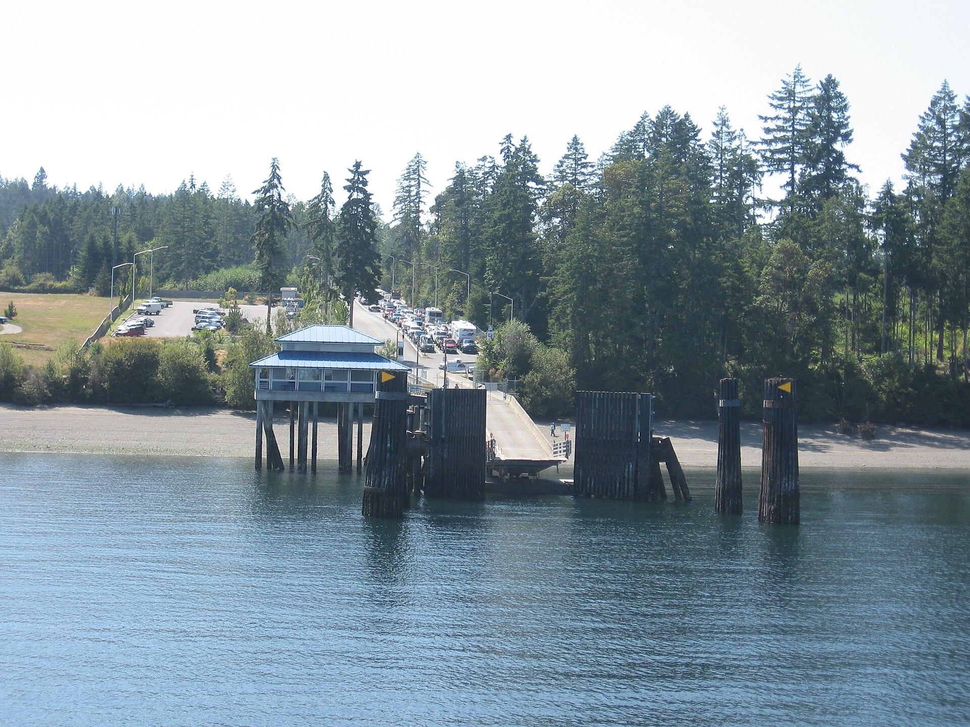
Anderson Island
Anderson Island is a wooded residential island in southern Puget Sound, reached by Pierce County ferry from Steilacoom. Its best reasons to visit are forest paths, saltwater coves and the Johnson Farm’s rural history. Plan a few distinct stops with transport between them; this is not a compact resort town gathered around the ferry dock.
Get to know the place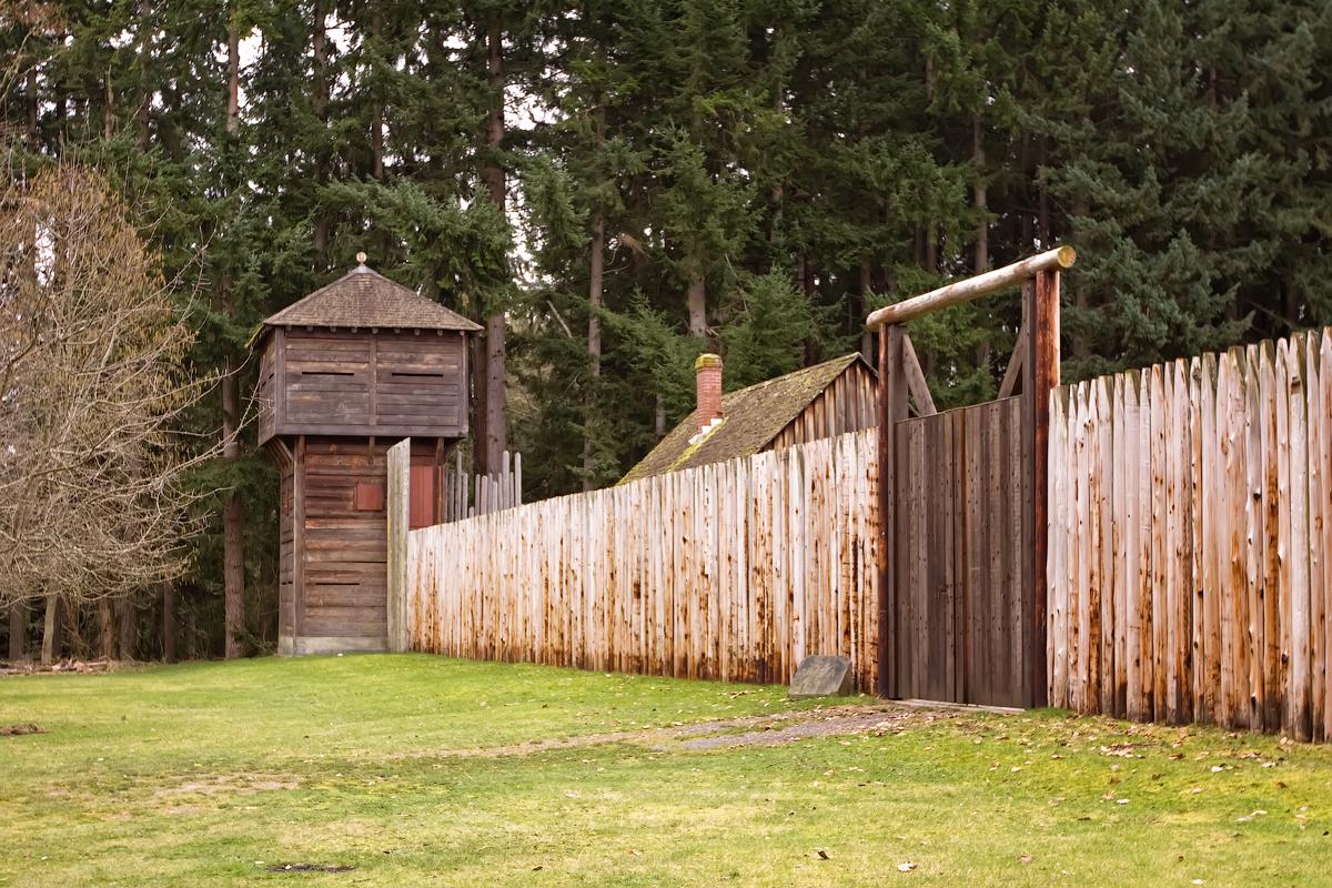 Area near Point Defiance
Point Defiance
Point Defiance is Tacoma’s wooded northern peninsula, where a ferry landing, gardens, a zoo and aquarium, historic interpretation and public shoreline sit within a much larger park landscape. It works as a destination in its own right, not simply a waiting area for the boat. Choose one major attraction and leave time for the waterfront or a forest trail.
Get to know the place
Vashon Island
Vashon is a rural Puget Sound island where a trip can move between small-town cafés, farm produce, woodland paths and a lighthouse shore. The useful unit for planning is Vashon-Maury: Point Robinson lies on Maury Island, while the main town and the northern ferry landing are elsewhere. An attractive photograph of the lighthouse is not a promise that it sits beside your arrival dock.
Get to know the placePhoto credits4
- Depicts: Steilacoom, WashingtonSteilacoom, Washington aerial view in 2024. Author: Quintin Soloviev. Credit: Own work. License: CC BY 4.0 (https://creativecommons.org/licenses/by/4.0). Source: https://commons.wikimedia.org/wiki/File:Steilacoom,_Washington_aerial_view_in_2024.jpgCropped to fit the display.
- Depicts: Anderson IslandYomandock. Author: Drums600 at English Wikipedia. Credit: Transferred from en.wikipedia to Commons.. License: Public domain (https://creativecommons.org/publicdomain/mark/1.0/). Source: https://commons.wikimedia.org/wiki/File:Yomandock.jpg
- Area image: Fort Nisqually bastion and extra entrance — Area near Point DefianceFort Nisqually bastion and extra entrance. Author: Steven Pavlov. Credit: Own work. License: CC BY-SA 3.0 (https://creativecommons.org/licenses/by-sa/3.0). Source: https://commons.wikimedia.org/wiki/File:Fort_Nisqually_bastion_and_extra_entrance.jpgCropped to fit the display.
- Depicts: Vashon IslandMaury Island meets Vashon Island. Author: Dicklyon. Credit: Own work. License: CC BY-SA 4.0 (https://creativecommons.org/licenses/by-sa/4.0). Source: https://commons.wikimedia.org/wiki/File:Maury_Island_meets_Vashon_Island.jpgCropped to fit the display.
