
Bonaire, Sint Eustatius and Saba.
The Caribbean Netherlands is the collective name for Bonaire, Sint Eustatius and Saba, three island public bodies within the Netherlands. It is a useful administrative grouping, but it is not a single compact island chain for a holiday. Bonaire lies far to the south of Saba and Statia.
Photo credits1
- Depicts: Bonaire, Sint Eustatius and Saba
A little closer to Bonaire, Sint Eustatius and Saba
Geography, regions and practical details from the country guide. Go straight to a chapter, or browse every destination below.
Go straight to the destinationsThe Caribbean Netherlands is the collective name for Bonaire, Sint Eustatius and Saba, three island public bodies within the Netherlands. It is a useful administrative grouping, but it is not a single compact island chain for a holiday. Bonaire lies far to the south of Saba and Statia.
Each island has its own landscape and community. Saba offers steep volcanic slopes and small villages, Statia combines a historic port with the Quill volcano, and Bonaire has a lower, drier landscape with coastal diving and snorkelling. Choose the island first, then arrange its specific arrival and local transport.
Geography
Bonaire is close to the Venezuelan coast, whereas Saba and Sint Eustatius lie in the northeastern Caribbean. The distance between those groups means that a shared administrative label does not imply a short ferry journey between all three.
Saba’s steep slopes rise around Mount Scenery, with the capital The Bottom and visitor village Windwardside above the sea. Statia lies southeast of Saba and has Oranjestad as its main town. The Quill and the northern Boven landscape give Statia two different outdoor settings.
Regions to explore
On Bonaire, Kralendijk and Rincon are the principal communities, with coastal and inland settings that differ from the mountainous northern islands. A journey there deserves separate transport planning rather than being added casually to a Saba or Statia ferry itinerary.
On Saba, The Bottom, Windwardside, St. John’s and Zion’s Hill are the four main villages; Hell’s Gate is another name for Zion’s Hill. On Statia, Upper and Lower Town form the two levels of Oranjestad, with trail outings beyond the town to the Quill and Boven.
Languages
Language use differs among the islands. Papiamentu has a central role on Bonaire, while English is the principal everyday language on Saba and Statia. Dutch is used in administration and is part of the wider language framework; official recognition also extends to Papiamentu and English in the Caribbean Netherlands.
For visitors to Saba or Statia, English is practical for transport and accommodation. Keep the precise island and settlement name in a booking: a place in the Dutch Caribbean is not automatically on the same island or governed by the same visitor arrangements.
Money
All three islands use the US dollar. Their political connection with the Netherlands does not mean everyday prices are in euros. Confirm payment methods with your accommodation, transport provider and small businesses, especially when arranging services outside the main settlement.
Budget separately for inter-island travel, local transfers and protected-area activities. The amount shown for a flight or ferry is not the complete cost of an island day; an onward taxi, a guide or a nature fee may be a separate arrangement.
Local culture
Saba’s traditional cottages and gardens, lace work and locally made Saba Spice are distinctive expressions of island life. Statia’s historic port, archaeological remains and community traditions reflect a different story of trade, colonial rule and cultural exchange. Give both islands time beyond their best-known viewpoint or trail.
These are living communities with local institutions, not just nature attractions. Respect residential streets and private gardens, greet people courteously and follow local guidance around historic sites. On trails, leave artefacts, plants and wildlife in place and stay on the permitted route.
Practical information
Saba and Statia have their own small airports and ferry landings. Fort Bay is Saba’s sea arrival and Gallows Bay is the Makana boarding point on Statia. Confirm the exact route, date and connection rather than relying on a general map of the region.
Check entry requirements for your nationality and transit route with the Dutch authorities; do not infer them only from European Netherlands travel. For mountain walks and dives, consult the relevant island conservation organisation. Weather, steep terrain and separate transfers deserve time in the itinerary, especially before an onward international flight.
Good to know before you go
Is the Caribbean Netherlands one island?
No. It groups Bonaire, Sint Eustatius and Saba, each with its own island government and geography.
Are Hell’s Gate and Zion’s Hill separate Saba villages?
No. They are two names for the same village.
Should I bring euros?
The local currency on all three islands is the US dollar. Check payment methods for your specific services.
Can I use one ferry plan for all three islands?
No. Bonaire is far from Saba and Statia. Plan each island’s actual air or sea connections separately.
Sources & references
These references support the guide. Confirm opening hours, access and travel services before you go.
- 01Caribbean Netherlands government, island tourism or conservation source
- 02Caribbean Netherlands government, island tourism or conservation source
- 03Caribbean Netherlands government, island tourism or conservation source
- 04Caribbean Netherlands government, island tourism or conservation source
- 05Caribbean Netherlands government, island tourism or conservation source
- 06Caribbean Netherlands government, island tourism or conservation source
- 07Caribbean Netherlands government, island tourism or conservation source
- 08Caribbean Netherlands government, island tourism or conservation source
- 09Caribbean Netherlands government, island tourism or conservation source
- 10Caribbean Netherlands government, island tourism or conservation source
Find your place in Bonaire, Sint Eustatius and Saba
Open the guides, get a feel for the differences between places, and find the ones that fit your plans.

Saba
Saba rises steeply from the northeastern Caribbean, with small villages arranged along its winding road and the forested heights of Mount Scenery above. This is a place for hiking, diving and village walks rather than a conventional beach-resort itinerary. The contrast between high slopes and the surrounding sea gives even a short stay a clear character.
Read the field guide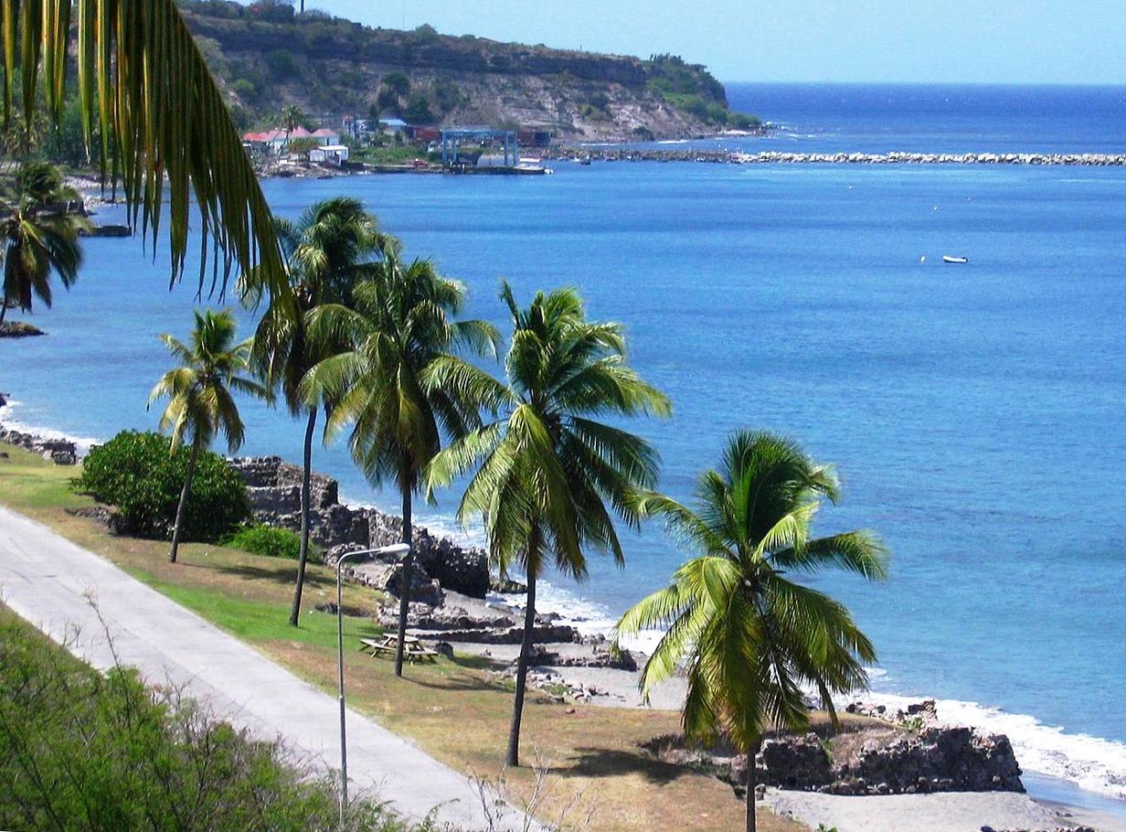
Sint Eustatius (St. Eustatius / Statia)
Sint Eustatius, usually called Statia, brings a historic port town together with volcanic landscapes and protected seas. Oranjestad is the main settlement, divided between an upper town and the waterfront below. The island’s trading past is visible in fortifications, ruins and the relationship between the town and its anchorage.
Read the field guidePhoto credits2
- Depicts: SabaCove Bay Saba 2026. Author: CareAhLine. Credit: Own work. License: CC0 (https://creativecommons.org/publicdomain/zero/1.0/). Source: https://commons.wikimedia.org/wiki/File:Cove_Bay_Saba_2026.png
- Depicts: Sint Eustatius (St. Eustatius / Statia)Lower Town Sint Eustatius. Author: Walter Hellebrand. Credit: Own work. License: CC BY-SA 3.0 (https://creativecommons.org/licenses/by-sa/3.0). Source: https://commons.wikimedia.org/wiki/File:Lower_Town_Sint_Eustatius.jpgCropped to fit the display.
