
Mayport Village.
Mayport Village is a working fishing community near the mouth of the St. Johns River, where shrimp boats, seafood businesses and a vehicle ferry shape the waterfront. Come for a dockside meal and a close look at a maritime neighbourhood rather than expecting a long resort promenade.
Photo credits1
- Area image: St. Johns River at Mayport, viewed from the Mayport FerryMayport FL St Johns from ferry03. Author: Ebyabe. Credit: Own work. License: CC BY-SA 3.0 (https://creativecommons.org/licenses/by-sa/3.0). Source: https://commons.wikimedia.org/wiki/File:Mayport_FL_St_Johns_from_ferry03.jpgCropped to fit the display.
Make your way to Mayport Village
Choose a tool and your dates to check the options for your trip.
More ways to explore
- Country
- United States
- Currency
- USD
- Time zone
- America/New York
Mayport Village is a working fishing community near the mouth of the St. Johns River, where shrimp boats, seafood businesses and a vehicle ferry shape the waterfront. Come for a dockside meal and a close look at a maritime neighbourhood rather than expecting a long resort promenade.
The village is on the south side of the river. Fort George Island and the Heckscher Drive parks lie across the water, while Hanna Park offers ocean beach and woodland recreation to the south. Keep these separate places in mind when choosing parking, accommodation and the direction of your ferry crossing.
When to go
Choose the day's route around weather, daylight and each site's opening window. Hanna Park changes its closing time seasonally, and its children's splash area has a summer operating period rather than year-round availability. The ferry's current weekday and weekend schedules differ. Kingsley's visitor facilities close on Mondays and Tuesdays and on specified major holidays. A weekday seafood stop, park walk and historical visit therefore need more planning than simply arriving at the waterfront.
Getting there
JTA operates the St. Johns River Ferry between Mayport Village and Fort George Island, carrying pedestrians, bicycles and vehicles under separate fare categories. Use the signed Ocean Street ferry entrance on the Mayport side and JTA's current travel instructions. The north landing is at 9618 Heckscher Drive. The crossing links the A1A coastal route; it is not a service to downtown Jacksonville. Check current departures and any interruption notice before relying on the final return.
Getting around
A vehicle or arranged ride makes it easier to combine the village with Hanna Park or attractions beyond the north ferry landing. Short waterfront walks work within the village, but working roads and dock entrances require attention. Cyclists can use the ferry, then need to assess the onward road rather than assume a protected path. Follow the crew's boarding signal and vehicle instructions; pedestrians wait in the designated staging area rather than joining the vehicle queue uninvited.
Local food
Mayport shrimp are central to the local seafood tradition. Safe Harbor's restaurant at 4378 Ocean Street offers casual dockside dining, while its seafood market is across the street at 4371. They serve different purposes: buying raw fish does not provide a prepared meal. The restaurant currently closes on Mondays. Singleton's Seafood Shack is another longstanding village option identified by the visitor bureau, with shrimp and fried seafood; check its own current kitchen hours and dietary information.
What to see
Watch the working waterfront from public areas and leave commercial docks and unloading space clear. The visitor bureau lists a waterfront market along Ocean Street on the third Saturday of the month; confirm the individual event before travelling for it. A ferry crossing adds a river perspective. For a longer history outing, continue from the north landing to Kingsley Plantation, where the grounds and visitor contact station form a separate national-park visit.
Towns and neighbourhoods
Ocean Street is the village's useful spine for seafood stops and the signed ferry approach. The surrounding naval installation is distinct from the public village, so stay on public routes rather than treating every waterfront road as visitor access. Across the river, the Fort George ferry slip is on Heckscher Drive, not at Ribault Club or Kingsley Plantation. Atlantic and Neptune Beach belong to the wider coast farther south; allow an onward journey if combining them.
Coast and outdoors
For an organised beach outing, Hanna Park has Atlantic sand, woodland walking and mountain-bike trails. Its freshwater lake permits activities such as canoeing and fishing, but swimming in that lake is prohibited. Huguenot Memorial Park is on the north side and has separate entry arrangements. High tides, unsafe conditions and nesting birds can restrict access there. Do not mistake a working ferry landing for a bathing beach or assume beach driving is unrestricted.
Where to stay
Hanna Park provides the clearest nearby camping option, with tent and RV sites and simple cabins booked through the city. It is a separate park at 500 Wonderwood Drive, not accommodation at the ferry dock. North of the crossing, Huguenot Memorial Park offers another campground with its own conditions and tide-related access restrictions. Choose the riverbank that suits the next morning's plan, and confirm campground arrival rules instead of assuming a late ferry guarantees entry.
Useful before you go
Bring water, sun protection and footwear suitable for wet boarding ramps. Keep children beside you around vehicles and water, and follow ferry instructions for pets rather than assuming they can wander the deck. At Hanna Park, observe the ban on lake swimming and beach fires. Respect wildlife and marked nesting closures at Huguenot. For any mobility requirement, ask about the exact ferry boarding arrangement and chosen park access; a general accessible-amenities listing does not describe every trail or patch of sand.
Good to know before you go
Which side of the river is Mayport Village on?
It is on the south side; the ferry's Fort George landing is on the north side at Heckscher Drive.
Can I take a car or bicycle on the ferry?
JTA lists fares for vehicles, pedestrians and bicycles; follow the current category and boarding rules.
Does the ferry go to downtown Jacksonville?
No. This route crosses between Mayport Village and Fort George Island.
Is Safe Harbor's market the restaurant?
No. The market is at 4371 Ocean Street and the restaurant at 4378; the restaurant currently closes Mondays.
Can I swim in Hanna Park's lake?
No. The city prohibits lake swimming; the park also has a separate Atlantic beach.
Can I visit Kingsley Plantation immediately at the north slip?
It requires an onward journey from the ferry and has its own opening days and hours.
Sources & references
These references support the guide. Confirm opening hours, access and travel services before you go.
- 01Visitor bureau: working village, seafood and waterfront market
- 02JTA: current crossing, landing instructions and safety rules
- 03Restaurant owner: dockside dining and separate market location
- 04City: Hanna Park beach, trails, camping and rules
- 05City: Hanna Park nature centre and coastal recreation
- 06NPS: Kingsley Plantation, separate visit north of the ferry
- 07NPS: distinct visitor-contact, historic-structure and grounds closing times
- 08City: north-bank beach, campground and tide restrictions
Where could the journey go next?
More guides in United States. Compare the places and check actual connections before combining stops.

Fort George Island
Fort George Island combines maritime forest, tidal scenery and difficult chapters of Florida history near the mouth of the St. Johns River. Ribault Club and Kingsley Plantation provide different ways into that history, from a twentieth-century resort landscape to the lives of enslaved people and plantation owners.
Get to know the place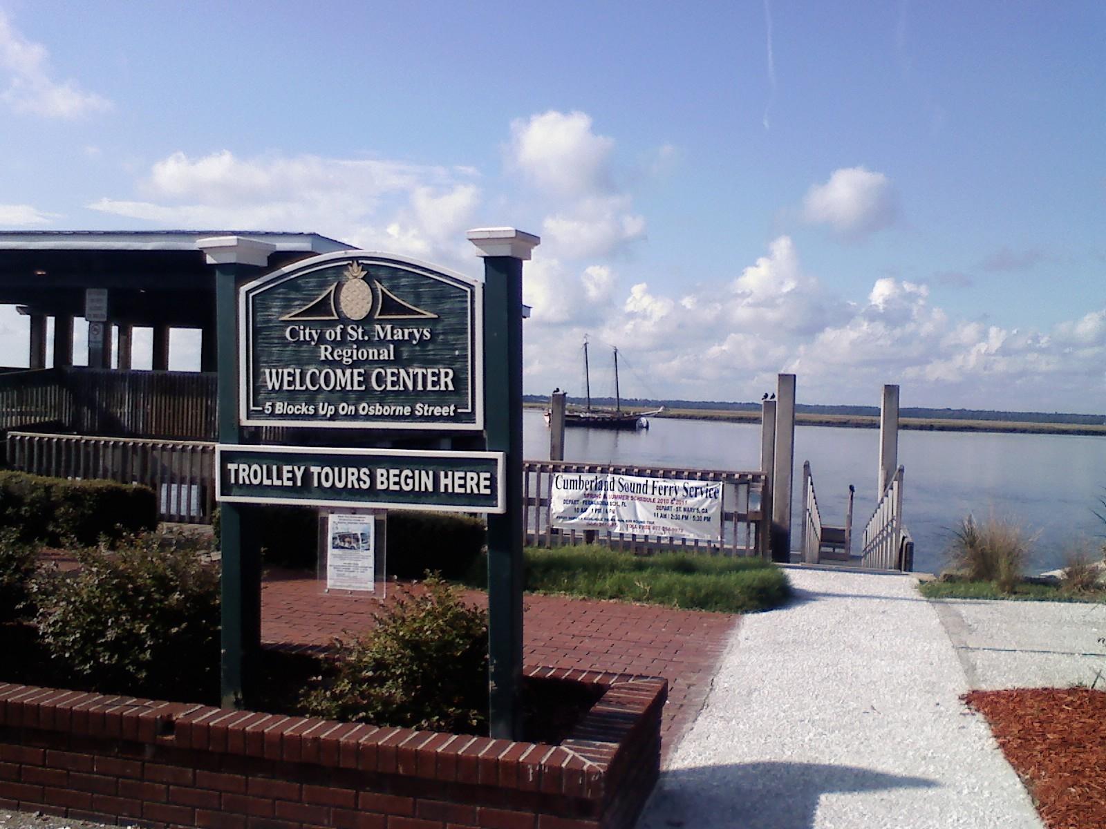 St. Marys town overview — waterfront gazebo
St. Marys, Georgia
St. Marys, Georgia, is the mainland gateway for the public Cumberland Island ferry and a worthwhile waterfront stop of its own. A small downtown around Osborne Street combines maritime museums, places to eat and a riverfront history walk. Staying here makes an early ferry check-in easier without requiring every day to be an island excursion.
Get to know the place
Cumberland Island National Seashore
Cumberland Island National Seashore is a boat-access coastal landscape of maritime forest, salt marsh, dunes and long Atlantic beaches off southern Georgia. A first visit usually works best around the southern landings, with time for both natural habitats and the Dungeness historic district. Arrive prepared to walk and carry the day's supplies.
Get to know the place Area near Savannah
Savannah
Savannah is a river city of public squares, historic houses and a busy commercial waterfront. Start with a walk through the Historic District, make time for a museum and continue toward Forsyth Park or River Street. A short ferry crossing adds another view of the city without turning the day into a long excursion.
Get to know the placePhoto credits4
- Depicts: Fort George IslandFort George Island Historical Marker. Author: Deisenbe. Credit: Own work. License: CC BY-SA 4.0 (https://creativecommons.org/licenses/by-sa/4.0). Source: https://commons.wikimedia.org/wiki/File:Fort_George_Island_Historical_Marker.jpgCropped to fit the display.
- Area image: St. Marys, Georgia waterfront gazeboSt Marys Waterfront 3. Author: Legohead. Credit: Own work. License: CC BY-SA 3.0 (https://creativecommons.org/licenses/by-sa/3.0). Source: https://commons.wikimedia.org/wiki/File:St_Marys_Waterfront_3.JPGCropped to fit the display.
- Depicts: Cumberland Island National SeashoreBlackened grass. Author: NPS Photo. Credit: NPGallery. License: Public domain (https://creativecommons.org/publicdomain/mark/1.0/). Source: https://commons.wikimedia.org/wiki/File:Blackened_grass_(6bbd5109-ce9b-453c-a500-9f873ca9e9d9).jpg
- Area image: Street Of Savannah — Area near SavannahStreet Of Savannah - panoramio (1). Author: ---=XEON=---. Credit: https://web.archive.org/web/20161028205126/http://www.panoramio.com/photo/97933155. License: CC BY 3.0 (https://creativecommons.org/licenses/by/3.0). Source: https://commons.wikimedia.org/wiki/File:Street_Of_Savannah_-_panoramio_(1).jpgCropped to fit the display.
