
Port Jefferson.
Port Jefferson is a North Shore harbour village where shipbuilding history, a public waterfront and a working Connecticut ferry share a small centre. Main Street and the Broadway streets offer a convenient starting point for a walk, a seafood meal or an evening performance. The village is a destination in its own right rather than simply the Long Island end of a crossing.
Photo credits1
- Area image: Aerial View of the Inc. Village of Port Jefferson, NY and its surroundings on October 14, 2018, looking east. The downtown section of the Inc. Village of Port Jefferson and Port Jefferson Harbor are visible at center – just below the Inc. Village of Belle Terre. The Port Jefferson Power Station's smokestacks are just out of view to the photo's bottom-left. The water visible above (just east) Belle Terre is the Long Island Sound. The large, tan building seen towards the center-right, surrounded by trees, is St. Charles Hospital. This image was taken from an altitude of roughly 2,000–3,000 feet — local overview of Port Jefferson.Aerial View of Port Jefferson, NY October 14, 2018. Author: Infrastorian. Credit: Own work. License: CC0 (https://creativecommons.org/publicdomain/zero/1.0/). Source: https://commons.wikimedia.org/wiki/File:Aerial_View_of_Port_Jefferson,_NY_October_14,_2018.png
Make your way to Port Jefferson
Choose a tool and your dates to check the options for your trip.
More ways to explore
- Country
- United States
- Currency
- USD
- Time zone
- America/New York
Port Jefferson is a North Shore harbour village where shipbuilding history, a public waterfront and a working Connecticut ferry share a small centre. Main Street and the Broadway streets offer a convenient starting point for a walk, a seafood meal or an evening performance. The village is a destination in its own right rather than simply the Long Island end of a crossing.
Keep the harbour and railway geography separate. The ferry arrives downtown, while Port Jefferson station is farther inland. The surrounding community called Port Jefferson Station, the village beaches and nearby Stony Brook also have their own locations and access arrangements. A short visit works best with one cultural stop and a waterfront walk, rather than assuming every attraction is next to the dock.
When to go
Warm months suit harbour walks and the Mather House visiting season, which the historical society describes as Memorial Day weekend through mid-October. The Explorium separates its summer hours from school-year weekend opening and special sessions, so do not use a summer timetable in November. Theatre Three lists A Christmas Carol from 7 November to 27 December 2026, and the village calendar lists a Dickens Festival event on 5 December. These dated events are separate from everyday access to shops and parks.
Getting there
The Bridgeport ferry uses 102 West Broadway in Port Jefferson and 1 Ferry Access Road in Bridgeport, Connecticut. Its published crossing is approximately 75 minutes, with current schedules and vehicle arrangements checked for the travel date. Walk-on passengers still need a ticket before boarding. The Long Island Rail Road serves Port Jefferson station, which the ferry operator places just under two miles from the dock. Allow a land transfer and any train changes shown on your itinerary.
Getting around
Walking is practical around the lower village, but luggage, hills and a station connection change the calculation. Suffolk Transit route 51 serves both the ferry and railway station, travelling via the hospital area; check the correct direction and actual departure times rather than assuming a non-stop transfer. Taxis are another option to arrange for a tight connection. MTA describes the railway station as accessible with a ramp, but that does not establish a continuous step-free route through every village attraction.
Local food
Seafood is easy to find without leaving the village core. The Steam Room at 4 East Broadway serves casual seafood and other dishes, while PJ Lobster House at 134 Main Street combines a restaurant with a fish market offering lobster, clams and fish. At Danfords, the current restaurant is Black Pearl Seafood Chophouse, with seafood and steaks; older references to a different hotel restaurant should not be treated as current. Choose a meal that leaves enough time to return to ferry check-in.
What to see
Mather House at 115 Prospect Street interprets the lives of a shipbuilding family through period rooms and outbuildings containing clocks, tools, carriages and sailmaking material. It is a seasonal guided-visit museum, not a dependable winter indoor attraction. At 101 East Broadway, the Long Island Explorium uses a former chandlery for children's science learning. Theatre Three at 412 Main Street stages musicals, plays and family performances; choose a specific show and check its access arrangements when reserving.
Towns and neighbourhoods
The ferry dock on West Broadway anchors the harbour end of the village, with East Broadway continuing towards the waterfront park and Explorium. Main Street and East Main Street form the shopping and dining core; Prospect Street leads to the historical society. Uptown and the railway area are farther south. Treat Stony Brook as an additional outing, not another name for Port Jefferson. Suffolk Transit route 51 links the two, but follows a regional route rather than a direct village shuttle.
Coast and outdoors
Jeanne Garant Harborfront Park offers lawns, waterside paths and a pier for a relatively easy outdoor pause close to the centre. Rocketship Park provides a separate children's play stop. East and West beaches have seasonal facilities, with beach parking described by the village as for village residents. Visitors should check eligibility rather than assume a ferry ticket or ordinary village parking payment grants beach access. Stay on public paths and distinguish harbour sightseeing from supervised swimming.
Where to stay
Danfords at 25 East Broadway provides a harbour-side base within the village, useful for dining and the ferry. Its rooms occupy different buildings and floors, so choose the documented accessible room arrangement if needed. The hotel states that land-based accommodation remains open during 2026 marina repairs. Its marina information describes closures inconsistently as full or partial; confirm a particular berth directly rather than inferring boating access from an available hotel room. An inland property should be assessed by its actual distance to the harbour.
Useful before you go
The ferry operator explicitly prohibits left turns into its Port Jefferson terminal: follow the signed approach and its directions even if navigation suggests otherwise. The company has no parking of its own; the adjacent marina lot belongs to the Town of Brookhaven, with separate seasonal terms. Village street spaces also have time limits, so they are unsuitable for an assumed unrestricted day across the Sound. Vehicle travellers must meet the operator's check-in cutoff, and private boat visitors need separate confirmation of current marina facilities.
Good to know before you go
Is Port Jefferson railway station at the ferry?
No. The ferry operator says it is just under two miles away. Arrange walking time, route 51 or a taxi connection.
Can I turn left into the ferry entrance?
No. The operator calls that manoeuvre dangerous and illegal; use its signed, legal approach.
Does Mather House open throughout winter?
Its ordinary visiting season runs from Memorial Day weekend through mid-October. Check for a separately advertised event outside that period.
Can visitors automatically park at the village beaches?
No. The village describes beach parking as for residents. Confirm visitor eligibility and current rules separately.
Is Danfords hotel closed because of marina repairs?
The hotel says its land-based accommodation remains open. Marina access has separate restrictions and must be confirmed for a specific berth.
What is a good indoor family stop?
The Long Island Explorium offers children's science activities in a historic chandlery. Check school-year hours and special sessions before arriving.
Sources & references
These references support the guide. Confirm opening hours, access and travel services before you go.
- 01Village government: parks, waterfront, beach parking and village geography
- 02Historical society: museum season and tours
- 03Museum owner: shipbuilding, clock and workshop collections
- 04Museum owner: historic chandlery and separate school-year visiting hours
- 05Theatre owner: mainstage programme through 2027
- 06Restaurant owner: casual seafood at 4 East Broadway
- 07Restaurant owner: seafood market and dining at 134 Main Street
- 08Hotel owner: current Black Pearl restaurant replaces older dining name
- 09Village calendar: Dickens Festival on 5 December 2026
- 10Ferry owner: dock, station distance, parking, check-in and prohibited left turns
- 11Ferry owner: date-specific schedule and approximate crossing duration
- 12MTA: station access and rail facilities
- 13Transit authority: ferry and railway served by route 51, via hospitals
- 14Hotel owner: land-based lodging open, marina reconstruction and conflicting closure scope
- 15Hotel owner: waterfront address, room arrangements and accessible options
Where could the journey go next?
More guides in United States. Compare the places and check actual connections before combining stops.

Bridgeport
Bridgeport combines a working Long Island Sound waterfront with public art, science attractions and a substantial coastal park. Its ferry terminal is close to the railway and downtown streets, making a cultural stop possible between journeys. Yet the zoo, Discovery science centre and Black Rock neighbourhood are separate outings rather than sights clustered beside the boat.
Get to know the place
Bay Shore, New York
Bay Shore sits on Long Island's mainland South Shore, facing Great South Bay and the western communities of Fire Island. Its Main Street dining scene and restored performance venue make it useful for more than a hurried transfer. A walk along Maple Avenue also brings local history into a route many visitors know only as the way to the ferry.
Get to know the place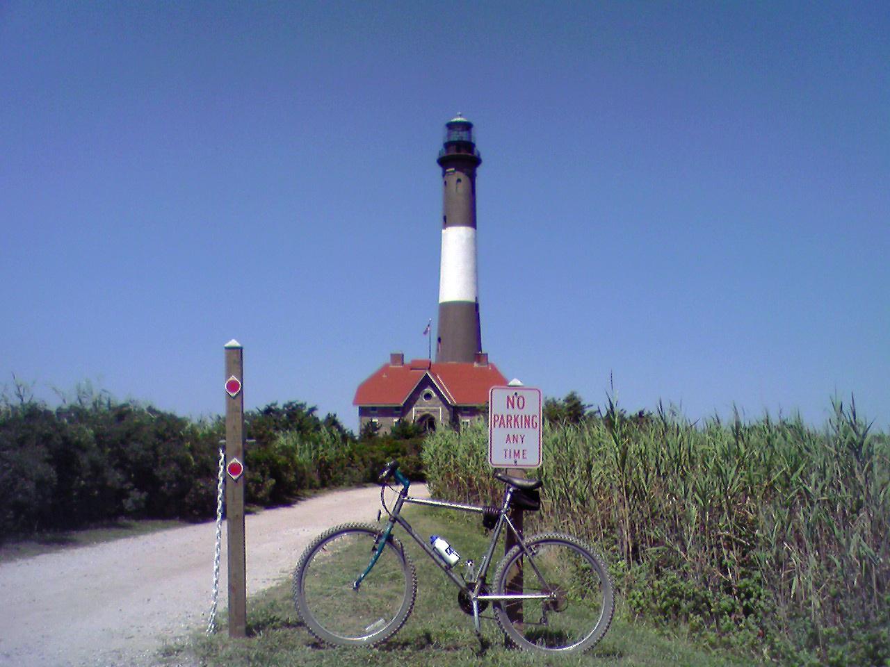 Area overview: Fire Island
Ocean Bay Park
Ocean Bay Park is a small Fire Island hamlet in the Town of Brookhaven, with residential walks running between Great South Bay and the Atlantic. Its modest Bay Walk commercial strip and summer waterfront venues give it a more social side, while family homes and returning residents remain central to the community.
Get to know the place Area near Seaview
Seaview
Seaview is a residential Fire Island community between Ocean Beach and Ocean Bay Park. Its market and boat basin sit on the Great South Bay side, while quiet walks lead towards the Atlantic. The location gives house-based visitors access to the neighbouring commercial centres without making Seaview itself a nightlife district.
Get to know the placePhoto credits4
- Depicts: BridgeportBridgeport, Connecticut. Author: Quintin Soloviev. Credit: Own work. License: CC BY 4.0 (https://creativecommons.org/licenses/by/4.0). Source: https://commons.wikimedia.org/wiki/File:Bridgeport,_Connecticut.jpgCropped to fit the display.
- Depicts: Bay Shore, New YorkBayshore Marina. Author: Praiseandworship (Transfered by Bobby122 ). Credit: Original uploaded on en.wikipedia. License: CC BY 3.0 (https://creativecommons.org/licenses/by/3.0). Source: https://commons.wikimedia.org/wiki/File:Bayshore_Marina.JPGCropped to fit the display.
- Area image: Fire Island — Area overview: Fire IslandFireIslandLighthouse 080507. Author: Paul Costello. Credit: Own work. License: Public domain (https://creativecommons.org/publicdomain/mark/1.0/). Source: https://commons.wikimedia.org/wiki/File:FireIslandLighthouse_080507.jpg
- Area image: Ocean Beach, NY 11770, USA — Area near SeaviewOcean Beach, NY 11770, USA - panoramio (1). Author: dans362. Credit: https://web.archive.org/web/20161102201153/http://www.panoramio.com/photo/43763554. License: CC BY 3.0 (https://creativecommons.org/licenses/by/3.0). Source: https://commons.wikimedia.org/wiki/File:Ocean_Beach,_NY_11770,_USA_-_panoramio_(1).jpgCropped to fit the display.
