
Port Angeles.
Port Angeles sits between the Strait of Juan de Fuca and the Olympic Mountains, combining a working harbour, a walkable downtown and a useful base for national-park trips. Its waterfront has enough art, food and marine interpretation to deserve time of its own. A pier walk and a museum visit can make a good first afternoon before a separate day in the hills.
Photo credits1
- Depicts: Port AngelesPort Angeles S. Author: Sea Cow. Credit: Own work. License: CC BY-SA 4.0 (https://creativecommons.org/licenses/by-sa/4.0). Source: https://commons.wikimedia.org/wiki/File:Port_Angeles_S.jpgCropped to fit the display.
Make your way to Port Angeles
Choose a tool and your dates to check the options for your trip.
More ways to explore
- Country
- United States
- Currency
- USD
- Time zone
- America/Los Angeles
Port Angeles sits between the Strait of Juan de Fuca and the Olympic Mountains, combining a working harbour, a walkable downtown and a useful base for national-park trips. Its waterfront has enough art, food and marine interpretation to deserve time of its own. A pier walk and a museum visit can make a good first afternoon before a separate day in the hills.
This is also the American departure point for the Coho ferry to Victoria, British Columbia. The international terminal is downtown, while Hurricane Ridge is reached by a mountain road well inland. Port Angeles is not Port Townsend, and a room near the ferry does not put you within walking distance of Olympic’s alpine trails or distant Pacific beaches.
When to go
A city stay remains useful outside summer, but mountain access changes sharply. The National Park Service road table, checked October 29, 2026, lists Hurricane Ridge Road closed from October 28, Deer Park Road closed from October 26 and Obstruction Point Road closed from October 25. These are dated conditions, not permanent closures. Recheck immediately before driving and keep a lower-elevation or indoor alternative.
Getting there
Black Ball Ferry Line’s Coho uses 101 East Railroad Avenue for its international crossing to Victoria’s Inner Harbour. Follow the operator’s check-in and border instructions for your passenger and vehicle category. From Seattle without a car, the published connection uses Washington State Ferries to Bainbridge Island and Clallam Transit’s Strait Shot onward to Port Angeles. Plan connection margins; these are separate services, not a guaranteed through ticket.
Getting around
The downtown waterfront is convenient on foot. Clallam Transit’s local and regional routes serve the city and connect onward toward Sequim and Forks; route and holiday schedules matter. Its Hurricane Ridge shuttle has finished the 2026 season and currently expects to return in summer 2027. Do not plan an autumn mountain outing around that bus. A vehicle or specifically confirmed tour is needed for many scattered peninsula destinations.
Local food
Seafood is a natural local theme, with chowder, salmon, oysters and Dungeness crab appearing in the tourism bureau’s dining coverage. Downtown also offers cafés, bakeries, pubs and varied non-seafood meals. The published 2026 farmers-market calendar runs Saturdays through the year at Front and Lincoln streets, with seasonal produce and baked goods. Buy mountain-day food before leaving town: a scenic destination does not necessarily have an operating café.
What to see
Feiro Marine Life Center on City Pier introduces the local marine environment; check its seasonal opening days before building a family visit around it. The Port Angeles Fine Arts Center combines the Esther Webster Gallery with outdoor sculpture in Webster’s Woods at a separate uphill address. Downtown murals and sculptures add interest between shops. For park orientation, use the Olympic National Park Visitor Center on Mount Angeles Road rather than expecting full services at the ridge.
Towns and neighbourhoods
Downtown and Railroad Avenue suit waterfront walks, meals and ferry connections. The city rises inland toward residential streets and the national-park approach. Ediz Hook extends around the harbour from the west, offering a different perspective back toward town and mountains. Lake Crescent and the Elwha Valley are wider-area excursions, not downtown neighbourhoods; organise them separately rather than compressing every peninsula attraction into one short stop.
Coast and outdoors
Hollywood Beach sits beside City Pier in the heart of town, with waterfront paths and views across the harbour. Ediz Hook has public coastal recreation areas, reached via the western waterfront; obey access signs around working and restricted areas. These are Strait-side shores. Visiting Olympic’s open Pacific beaches requires a longer journey and its own tide and road checks, so do not confuse a city beach walk with a remote-coast hike.
Where to stay
Choose downtown or the harbour edge for an early ferry, restaurants and evening walking. Properties above the centre may involve slopes; check the actual route if carrying luggage. Highway-side motels and foothill accommodation suit road trips but can require a drive for dinner. Lake Crescent cabins and park campgrounds are distinct settings outside the urban core, with their own access and seasonal arrangements.
Useful before you go
The former Hurricane Ridge Day Lodge burned in 2023, so do not rely on its old indoor warming space, food service or drinking water. Winter travel requires suitable preparation and the park’s traction equipment rules. For the ferry, the operator says there is no parking at its terminals; use an appropriate nearby lot and check its terms. Border formalities apply even to a short Victoria excursion.
Good to know before you go
Is this the ferry port for Victoria in Canada?
Yes. The Coho terminal is downtown Port Angeles; this is an international journey with border checks.
Can I take the Hurricane Ridge shuttle now?
The October 29, 2026 check found the 2026 season finished, with service expected again in summer 2027.
Is Hurricane Ridge Road guaranteed open in autumn?
No. The current park table lists an October 28 closure. Conditions can change; recheck before departure.
Is Hollywood Beach on the Pacific coast?
It is beside downtown on Port Angeles Harbour, facing the Strait area. Olympic’s open Pacific beaches are a separate road trip.
Should I choose downtown for a ferry overnight?
It reduces the distance to the terminal and dining, but verify the property’s actual address and walking route.
Sources & references
These references support the guide. Confirm opening hours, access and travel services before you go.
- 01Official tourism: downtown art, walking and regional seafood
- 02City: precise City Pier and Hollywood Beach location and facilities
- 03Fine Arts Center: separate gallery and sculpture park visitor information
- 04Feiro: current 2026–2027 winter visit information and exact location; inconsistent hour footer not reproduced
- 05Official tourism: Ediz Hook and wider-area geography
- 06Official tourism: dining categories
- 07Official tourism: dated 2026 year-round farmers-market calendar
- 08NPS: road table updated October 28, 2026
- 09NPS: winter preparation and lost Day Lodge facilities
- 10NPS: visitor-centre locations and limited ridge services
- 11Ferry operator: exact international terminals and separate Bainbridge connection
- 12Ferry operator: border process, check-in and parking limitations
- 13Transit operator: current regional services
- 14Transit operator: 2026 mountain shuttle ended and 2027 expected return
- 15Official tourism: central versus road-trip lodging geography
- 16Official tourism: different accommodation and camping settings
Where could the journey go next?
More guides in United States. Compare the places and check actual connections before combining stops.

Port Townsend
Port Townsend combines a working maritime culture with a compact historic town on the northeastern Olympic Peninsula. Water Street offers waterfront buildings, shops and cafés, while Uptown adds another layer of residential streets and views. It makes a rewarding overnight stop for travellers who want museums, shore walks and local food alongside their ferry crossing.
Get to know the place
Friday Harbor
Friday Harbor is the walkable ferry town on San Juan Island, with a harbourfront, small shops and museums close enough to explore after arriving on foot. It is a useful base for a first island visit because meals and accommodation are concentrated near the landing, while countryside and exposed coastal viewpoints can be added as separate outings.
Get to know the place
Coupeville, Whidbey Island
Coupeville is the historic Penn Cove town at the heart of Ebey’s Landing National Historical Reserve. Its compact waterfront, old commercial buildings and public wharf make a gentle base for exploring Central Whidbey. The surrounding reserve adds working farms, coastal bluffs and military landscapes, so the town can anchor more than a quick ferry stop.
Get to know the place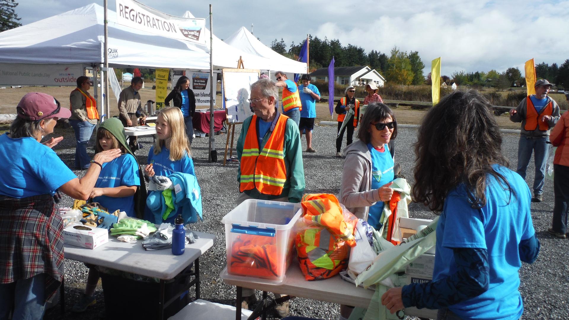
Lopez Island
Lopez Island combines rolling farmland, a small village on Fisherman Bay and a varied coast of beaches, wooded points and exposed bluffs. Its quieter roads attract cyclists, but this is still a rural island with distances between services. A satisfying visit can revolve around a village meal, the history museum and one coastal walk rather than trying to circle every shore in a day.
Get to know the placePhoto credits4
- Depicts: Port TownsendPt. Townsend, WA shoreline 01. Author: Joe Mabel. Credit: Photo by Joe Mabel. License: CC BY-SA 3.0 (https://creativecommons.org/licenses/by-sa/3.0/). Source: https://commons.wikimedia.org/wiki/File:Pt._Townsend,_WA_shoreline_01.jpgCropped to fit the display.
- Depicts: Friday HarborFriday Harbor, WA - boats in harbor 03 (20020267924). Author: Joe Mabel (on Flickr as Joe Mabel from Seattle, US). Credit: Friday Harbor, WA - boats in harbor 03. License: CC BY-SA 3.0 (https://creativecommons.org/licenses/by-sa/3.0). Source: https://commons.wikimedia.org/wiki/File:Friday_Harbor,_WA_-_boats_in_harbor_03_(20020267924).jpgCropped to fit the display.
- Depicts: Coupeville, Whidbey IslandCoupeville and Penn Cove, Whidbey Island - 2707429941. Author: brewbooks. Credit: https://www.flickr.com/photos/93452909@N00/2707429941/. License: CC BY-SA 2.0 (https://creativecommons.org/licenses/by-sa/2.0). Source: https://commons.wikimedia.org/wiki/File:Coupeville_and_Penn_Cove,_Whidbey_Island_-_2707429941.jpgCropped to fit the display.
- Depicts: Lopez IslandBureau of Land Management Oregon and Washington from Portland, AmericaWikimedia CommonsPublic domainNational Public Lands Day 2017 at Lopez Island (36767732454). Author: Bureau of Land Management Oregon and Washington from Portland, America. Credit: National Public Lands Day 2017 at Lopez Island. License: Public domain (https://creativecommons.org/publicdomain/mark/1.0/). Source: https://commons.wikimedia.org/wiki/File:National_Public_Lands_Day_2017_at_Lopez_Island_(36767732454).jpg
