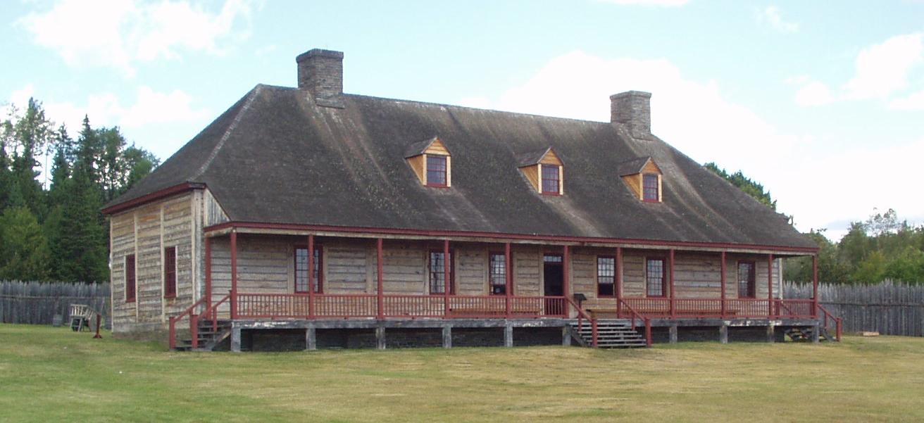
Grand Portage.
Grand Portage sits beside Lake Superior in northeastern Minnesota, within the homeland and contemporary community of the Grand Portage Band of Lake Superior Chippewa. Its shoreline monument tells a story of Anishinaabe knowledge, canoe travel and the fur trade; the community deserves time beyond a hurried ferry check-in.
Photo credits1
- Depicts: Grand Portage050820 GrandPortageNationalMonument. Author: Rufus Sarsaparilla on wikipédia en. Credit: http://en.wikipedia.org/wiki/Image:050820_GrandPortageNationalMonument.jpg. License: Public domain (https://creativecommons.org/publicdomain/mark/1.0/). Source: https://commons.wikimedia.org/wiki/File:050820_GrandPortageNationalMonument.jpg
Make your way to Grand Portage
Choose a tool and your dates to check the options for your trip.
More ways to explore
- Country
- United States
- Currency
- USD
- Time zone
- America/Chicago
Grand Portage sits beside Lake Superior in northeastern Minnesota, within the homeland and contemporary community of the Grand Portage Band of Lake Superior Chippewa. Its shoreline monument tells a story of Anishinaabe knowledge, canoe travel and the fur trade; the community deserves time beyond a hurried ferry check-in.
Use this mainland base for three distinct outings: the National Monument near the bay, the State Park beside the Canadian border, and a separately planned crossing to Isle Royale. The falls are not inside the monument, and the island is not connected by road.
When to go
Summer offers the broadest combination of depot interpretation, walking and island transport; autumn brings colder conditions and fewer services. At the 29 October 2026 review, the Historic Depot season had ended. The Heritage Center's published winter schedule runs from 25 October, closing Sundays and federal holidays. Winter monument visits do not imply winter ferry access.
Getting there
Minnesota Highway 61 is the road approach; follow the appropriate signs for the monument, lodge or marina. Grand Portage's passenger boats serve Isle Royale, not a road crossing to Canada. The operator's 2026 regular Voyageur II season ended in September, with final special Windigo day trips listed for 26–27 September. Obtain a new dated schedule before planning another season.
Getting around
Walk between the Heritage Center and lakeshore historic area, using the official site map. Separate road journeys connect the village with the State Park and wider North Shore. Arrange onward transport before arrival rather than assuming a village shuttle. Ferry passengers must use the marina parking areas specified by the operator; museum parking is not an alternative overnight ferry lot.
Local food
Island View at Grand Portage Lodge serves breakfast, sandwiches, burgers and other meals with a lake outlook. Check its current service arrangements before relying on an early breakfast. Picnic areas beside the monument and Heritage Center provide another option; the Trading Post is a practical place to obtain supplies before an island trip.
What to see
Begin at the Heritage Center, where exhibits explain Anishinaabe culture and the trading network. In the Historic Depot's operating season, continue to the reconstructed stockade, Great Hall, kitchen and canoe warehouse. The buildings are reconstructions that interpret the lakeshore trading post; the community's Indigenous history extends far beyond that period.
Towns and neighbourhoods
The lakeshore district contains most visitor facilities. The Grand Portage Trail connects it with the inland Fort Charlotte district on the Pigeon River, a backcountry destination rather than another roadside museum. Around the bay, distinguish the monument's historic dock from your ferry company's marina departure point.
Coast and outdoors
Choose the Mount Rose trails for elevated bay views, allowing for stairs and climbing. At the separate Grand Portage State Park, the High Falls route combines paving and boardwalk; the DNR maps a one-mile return walk. Middle Falls requires a much longer, steep and rugged hike. Plan these as scenery and walking outings rather than a beach-resort day.
Where to stay
Grand Portage Lodge is the local accommodation option identified by the monument, with camping options to confirm separately. Staying near the bay simplifies an early marina departure. Fort Charlotte's remote camping belongs to a different backcountry plan, while an Isle Royale overnight requires its own accommodation or camping arrangements and return transport.
Useful before you go
Grand Portage uses Central Time, whereas Isle Royale uses Eastern Time; the Grand Portage boat schedules explicitly use Central Time. A phone picking up a Canadian signal can display a different clock, so confirm the departure time zone. The Heritage Center has accessible routes and an elevator, but that does not make Mount Rose or the inland trail step-free.
Good to know before you go
Are the waterfall and monument the same place?
No. High Falls is in Grand Portage State Park by the border; the National Monument interprets the lakeshore trading post and portage corridor.
Can I take my car to Isle Royale?
No. The crossing is for passengers; arrange mainland parking and island transport separately.
Is the reconstructed depot open in winter?
Its published season ends in October. The Heritage Center continues with a winter calendar, including Sunday and federal-holiday closures.
Which clock should I use for the boat?
The Grand Portage operator publishes Central Time. Isle Royale uses Eastern Time, so check the time zone on the actual booking.
Is High Falls an accessible outing?
The state park identifies a paved and boardwalk route with an accessible viewing platform. Check current surface and weather conditions before travelling.
Sources & references
These references support the guide. Confirm opening hours, access and travel services before you go.
- 01NPS: Grand Portage visitor information and seasonal hours
- 02NPS: Grand Portage history and cultural landscape
- 03NPS: Monument site map
- 04Minnesota DNR: Grand Portage State Park
- 05Minnesota DNR: State park trail map
- 06Grand Portage Lodge: Island View Dining
- 07NPS: Picnic and food options
- 08Grand Portage Isle Royale Transportation: dated 2026 schedule
- 09Grand Portage Isle Royale Transportation: marina parking information
- 10NPS: Monument accessibility
- 11NPS: Voyageur II and time zones
Where could the journey go next?
More guides in United States. Compare the places and check actual connections before combining stops.
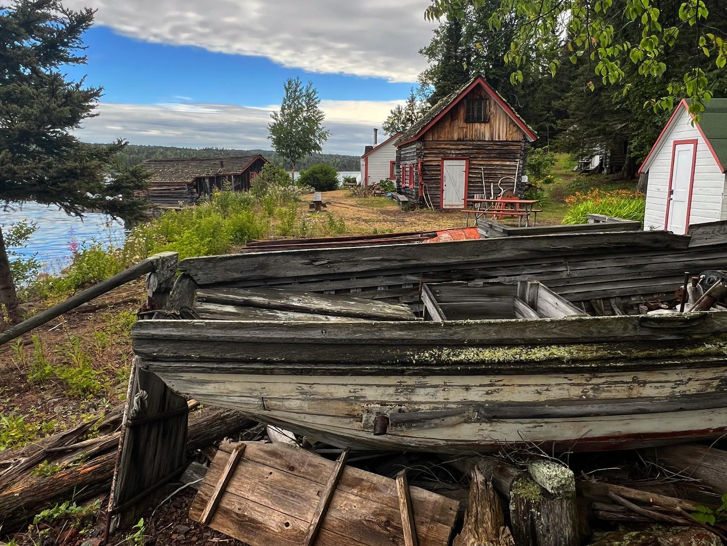 Isle Royale National Park area overview
Windigo, Isle Royale National Park
Windigo feels remote from the first minute. There are no car ferries, mainland road or conventional resort strip. Arrive by passenger boat, seaplane or suitable private vessel and use the seasonal visitor centre to understand the southwest of Isle Royale. Washington Harbor provides a sheltered setting, but Lake Superior crossings still depend on weather.
Get to know the placeIsle Royale National Park
Isle Royale National Park is a forested archipelago in Lake Superior, belonging to Michigan but reached across open water from mainland gateways in Michigan and Minnesota. Its long central ridge, inland lakes and rocky coves reward walking and paddling rather than driving. Select the actual landing before booking: the park's name does not identify one universal passenger terminal.
Get to know the placeIsle Royale National Park area overviewMalone Bay
Malone Bay is a remote landing and campground on the southern shore of Isle Royale in Lake Superior. This is a forest-and-water destination for equipped walkers, paddlers and boat passengers, with no village centre, road approach or restaurant strip. The bay's role is as a backcountry stop, not a conventional ferry-port town.
Get to know the placeIsle Royale National Park area overviewMccargoe Cove
McCargoe Cove cuts into Isle Royale's northern shore, bringing walkers and boat passengers into a sheltered-looking inlet surrounded by forest. Its campground and landing are gateways to the Minong Ridge and the Chickenbone Lake area. There is no road-connected settlement, shopping street or hotel district behind the dock.
Get to know the placePhoto credits1
- Area image: Isle Royale National Park — Isle Royale National Park area overviewEdisen Fishery at IRNP. Author: William Wadas. Credit: Own work. License: CC BY-SA 4.0 (https://creativecommons.org/licenses/by-sa/4.0). Source: https://commons.wikimedia.org/wiki/File:Edisen_Fishery_at_IRNP.jpgCropped to fit the display.
