
Blaine.
Blaine is Washington’s small waterfront city beside the Canadian border, where the Peace Arch, a working fishing harbour and a walkable downtown make a worthwhile stop beyond the highway. Its setting faces Drayton Harbor and Semiahmoo Bay, with mountain views when the weather clears. Allow time to leave the border-bound traffic and enjoy the shoreline at a slower pace.
Photo credits1
- Area image: Entering Blaine, Washington — Area near BlaineEntering Blaine, Washington - panoramio. Author: Larry LaRose. Credit: https://web.archive.org/web/20161016162921/http://www.panoramio.com/photo/47197334. License: CC BY-SA 3.0 (https://creativecommons.org/licenses/by-sa/3.0). Source: https://commons.wikimedia.org/wiki/File:Entering_Blaine,_Washington_-_panoramio.jpgCropped to fit the display.
Make your way to Blaine
Choose a tool and your dates to check the options for your trip.
More ways to explore
- Country
- United States
- Currency
- USD
- Time zone
- America/Los Angeles
Blaine is Washington’s small waterfront city beside the Canadian border, where the Peace Arch, a working fishing harbour and a walkable downtown make a worthwhile stop beyond the highway. Its setting faces Drayton Harbor and Semiahmoo Bay, with mountain views when the weather clears. Allow time to leave the border-bound traffic and enjoy the shoreline at a slower pace.
Downtown Blaine and Semiahmoo Spit face one another across the water but require separate planning. The historic Plover’s 2026 season has ended and its future service is uncertain while the city seeks a new operating organisation. Base onward transport on a confirmed road route; do not assume that an old ferry listing guarantees a transfer across the harbour.
When to go
Winter and the spring and autumn migrations are productive periods for birdwatching around Semiahmoo Spit. Summer brings more waterfront events and long evenings; the city’s annual calendar includes its Fourth of July celebrations and harbour music festival. Event dates and museum openings need their own check. The Plover is not an autumn transport option, and no future season should be inferred from older promotional timetables.
Getting there
Blaine is reached from the I-5 corridor, with downtown signposted near exits 275 and 276. Whatcom Transportation Authority lists route 75 between Blaine/Birch Bay and Bellingham. If arriving from Canada, prepare for the actual border crossing and current entry requirements. The city’s October 5, 2026 Plover announcement is a request for a future operator, not confirmation of a new passenger timetable.
Getting around
Downtown and the harbour connect by waterfront walking routes. Route 75 can help with the wider journey, while its flex service is restricted to the designated coverage area and requires advance booking. Do not assume it serves a resort door without checking. For Semiahmoo, compare a road transfer with the length of the land route; the short distance across the water is misleading.
Local food
Blaine’s dining directory reflects more than a seafood stop: alongside fish dishes and pub meals are Mexican, Indian, Japanese and Hawaiian-influenced choices, plus espresso and bakery food. Downtown provides the simplest cluster to explore on foot. Semiahmoo restaurants are a separate journey, so verify a table and transport before choosing one for dinner. Use current business menus rather than assuming a seasonal harbour food stand is open year-round.
What to see
Peace Arch commemorates a history of peace between neighbouring countries, with gardens and interpretive panels around the 1921 monument. The state’s account also recognises the Coast Salish homelands and communities associated with this landscape. Return to Blaine Harbor to see a present-day working waterfront. These are distinct experiences: the border park tells a political and landscape history, while the marina remains a place of boats, crews and everyday maritime activity.
Towns and neighbourhoods
Peace Portal Drive is the useful downtown orientation line for cafés, shops and the visitor centre. Marine Drive leads out to the harbour and Marine Park. Semiahmoo is across Drayton Harbor, reached by road around it, and offers its own park and resort area. Choose accommodation by actual address rather than assuming everything labelled Blaine is next to the downtown waterfront.
Coast and outdoors
Marine Park combines easy waterfront paths, sheltered picnic spots and a maritime-themed playground. It suits a short family outing without needing a boat. Across the harbour, Semiahmoo’s public tidelands provide a different kind of walk, with more attention to tide and shoreline conditions. Bring binoculars for birds and keep distance from wildlife; a quiet shore is often more rewarding than trying to approach an animal.
Where to stay
Downtown lodging includes motels and apartment-style stays close to restaurants and shops. Semiahmoo Resort is a different choice for a stay centred on the spit, shore walks and resort facilities. Check parking and the exact unit location, especially when reserving a holiday rental. A harbour-facing address may suit walking; a resort address can require transport for an evening in central Blaine.
Useful before you go
Vehicle access to Peace Arch State Park requires a Discover Pass; the park is for day use. Do not treat a garden visit as permission to continue into another country without proper entry procedures. A further 2026 detail matters for cross-border plans: after Washington’s November 1 clock change, Vancouver and nearby British Columbia remain one hour ahead of Blaine. Confirm the local time attached to every reservation.
Good to know before you go
Can I rely on the Plover to reach Semiahmoo?
No. The 2026 season has ended and future operation is uncertain. Plan a road journey unless a new service is explicitly confirmed.
Is Semiahmoo in downtown Blaine?
No. It lies across Drayton Harbor on a spit, with a longer road journey around the water.
Is there public transport from Bellingham?
WTA lists route 75 for Blaine and Birch Bay. Check the current timetable and any reserved flex-service coverage.
Does the Peace Arch park offer camping?
No. It is a day-use state park.
Are Blaine and Vancouver always on the same clock?
No. From November 1, 2026, Blaine moves back while Vancouver remains on British Columbia’s year-round time, one hour ahead during winter.
Sources & references
These references support the guide. Confirm opening hours, access and travel services before you go.
- 01State park: gardens, day-use status and vehicle pass
- 02State park: 1921 monument and Coast Salish context
- 03City: separate shoreline areas and actual Marine Park facilities
- 04City tourism: downtown context and cross-border clock warning
- 05City tourism: documented dining variety
- 06City tourism: distinct downtown and spit accommodation
- 07City tourism: ended 2026 season and uncertain Plover future
- 08City October 5 notice: future operator search, not confirmed service
- 09Port: working harbour and walking links
- 10County park: birdwatching seasons and tide-dependent shore
- 11WTA: current route listing
- 12WTA: bounded flex coverage and advance request
- 13British Columbia government: 2026 permanent time transition
- 14CBP: crossing through designated entry processes
- 15City: annual event and road-access context
Where could the journey go next?
More guides in United States. Compare the places and check actual connections before combining stops.
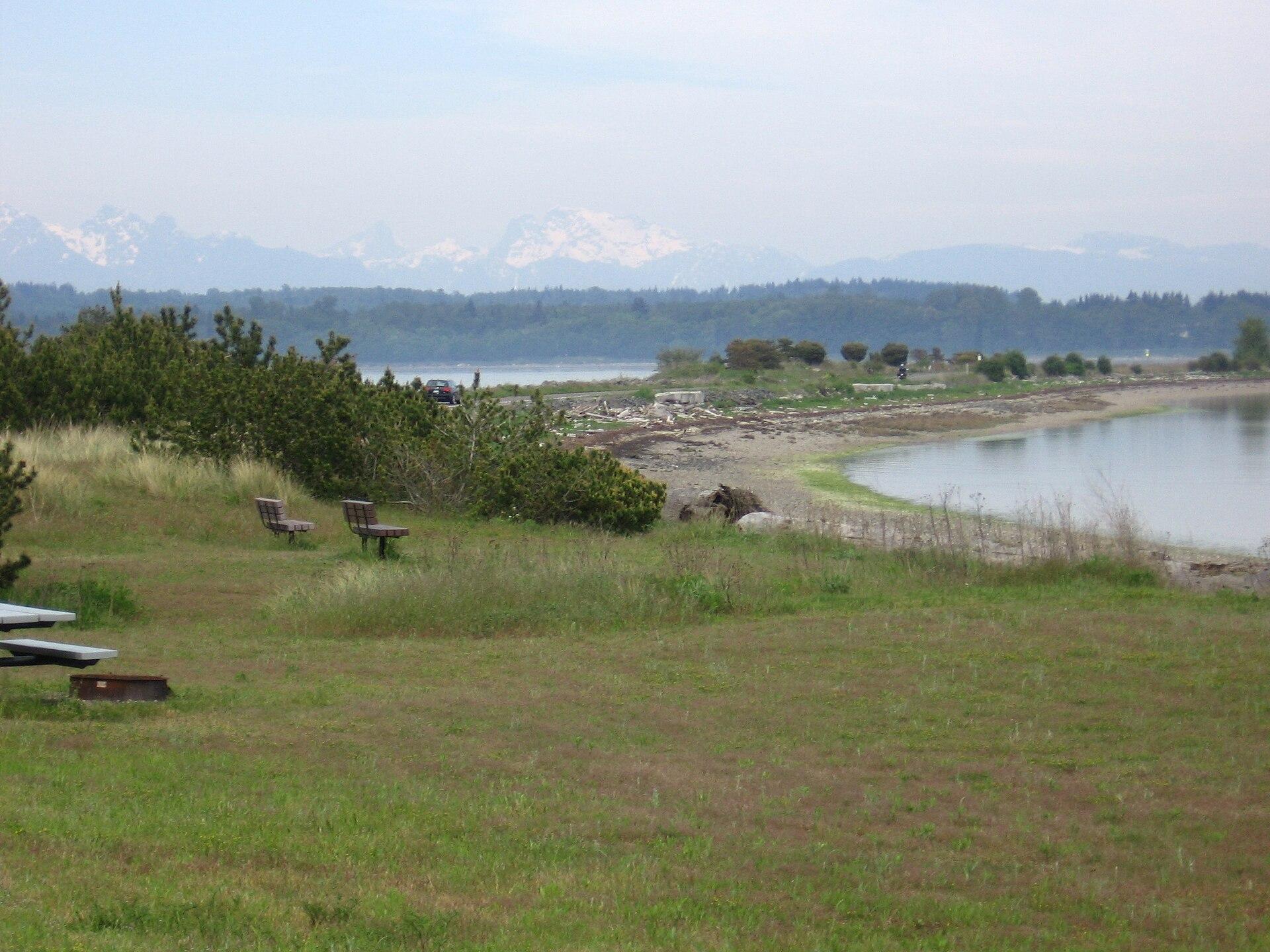
Semiahmoo / Blaine
Semiahmoo is the narrow spit and resort area across Drayton Harbor from central Blaine, near Washington’s Canadian border. One shore faces the sheltered harbour, while the other looks across Semiahmoo Bay. The combination of coastal paths, birdlife and surviving cannery buildings makes it more than a hotel address, although its amenities and public spaces should be distinguished carefully.
Get to know the place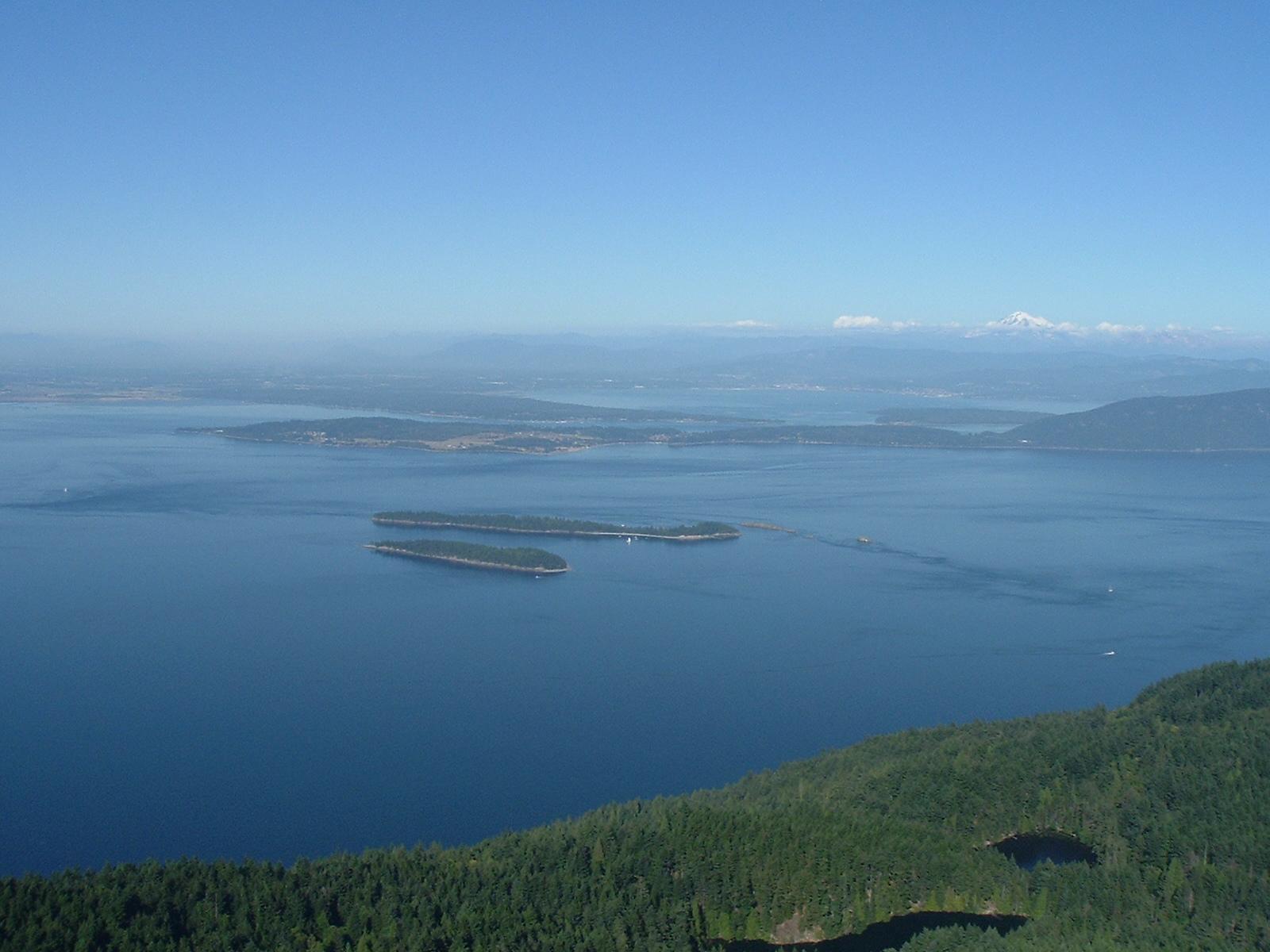
Orcas Island
Orcas Island is a hilly, horseshoe-shaped landscape of forests, lakes and scattered coastal communities. It rewards a slower visit that combines Eastsound’s shops and food with a woodland trail or a separate trip toward Olga and the eastern shore. Distances and bends matter here: a place that looks close across the water may require a much longer road journey.
Get to know the place
Shaw Island
Shaw is a small, largely residential island in the San Juan archipelago, suited to a quiet beach picnic, a woodland walk and an encounter with community history. The ferry landing and its general store form a modest arrival point. The attraction is the scale of island life, not a long list of shops or organised entertainment.
Get to know the place
Anacortes
Anacortes is a town on road-connected Fidalgo Island, with a working waterfront and enough forest, coastal viewpoints and local history to justify a stay before a San Juan Islands sailing. Commercial Avenue gives visitors a useful town centre, while Cap Sante rises above the marina and Washington Park opens onto the island channels farther west.
Get to know the placePhoto credits4
- Depicts: Semiahmoo / BlaineSpring 015. Author: Ienjoysalmon. Credit: Own work. License: Public domain (https://creativecommons.org/publicdomain/mark/1.0/). Source: https://commons.wikimedia.org/wiki/File:Spring_015.jpg
- Depicts: Orcas IslandMountConstitutionView. Author: Shayborg. Credit: self-made (digital camera photograph), http://en.wikipedia.org/wiki/Image:MountConstitutionView.JPG. License: Public domain (https://creativecommons.org/publicdomain/mark/1.0/). Source: https://commons.wikimedia.org/wiki/File:MountConstitutionView.jpg
- Depicts: Shaw IslandHarbor near Shaw Island ferry dock. Author: Joe Mabel. Credit: Photo by Joe Mabel. License: CC BY-SA 3.0 (https://creativecommons.org/licenses/by-sa/3.0/). Source: https://commons.wikimedia.org/wiki/File:Harbor_near_Shaw_Island_ferry_dock.jpgCropped to fit the display.
- Depicts: AnacortesAnacortes from Cap Sante. Author: JXthemeteorologist. Credit: Own work. License: CC0 (https://creativecommons.org/publicdomain/zero/1.0/). Source: https://commons.wikimedia.org/wiki/File:Anacortes_from_Cap_Sante.jpg
