
Anacortes.
Anacortes is a town on road-connected Fidalgo Island, with a working waterfront and enough forest, coastal viewpoints and local history to justify a stay before a San Juan Islands sailing. Commercial Avenue gives visitors a useful town centre, while Cap Sante rises above the marina and Washington Park opens onto the island channels farther west.
Photo credits1
- Depicts: AnacortesAnacortes from Cap Sante. Author: JXthemeteorologist. Credit: Own work. License: CC0 (https://creativecommons.org/publicdomain/zero/1.0/). Source: https://commons.wikimedia.org/wiki/File:Anacortes_from_Cap_Sante.jpg
Make your way to Anacortes
Choose a tool and your dates to check the options for your trip.
More ways to explore
- Country
- United States
- Currency
- USD
- Time zone
- America/Los Angeles
Anacortes is a town on road-connected Fidalgo Island, with a working waterfront and enough forest, coastal viewpoints and local history to justify a stay before a San Juan Islands sailing. Commercial Avenue gives visitors a useful town centre, while Cap Sante rises above the marina and Washington Park opens onto the island channels farther west.
Do not treat every Anacortes dock as the same destination. Washington State Ferries’ San Juan terminal is west of downtown; the county ferry to Guemes Island uses a different landing on I Avenue. Museum sites, marinas and the state-ferry queue are also separate places, so leave room in the itinerary for the actual transfer.
When to go
Washington Park and its campground operate year-round, making the coast useful outside the main ferry holiday season. Museum components have different calendars: the W.T. Preston currently lists weekend visits in September and October, so a winter trip should not assume access aboard. Shorter, wetter days favour a compact museum-and-viewpoint itinerary; longer days allow a forest walk without rushing a reserved crossing.
Getting there
Road access comes from Interstate 5 via State Route 20, so reaching Anacortes itself does not require a ferry. The state system serves the San Juan Islands from its western terminal, with vehicle reservations available on relevant services and separate fare tickets. The Guemes ferry is operated by Skagit County from 500 I Avenue and has its own schedule. Check the operator and landing before navigating to a ticket or reservation.
Getting around
Skagit Transit route 410 links March’s Point, central Anacortes and the state-ferry terminal. The operator specifically warns that its bus times do not match every ferry arrival and departure, so check the complete connection in both directions. Downtown walks are straightforward, but forest trailheads and the west-end park need more planning. Download the appropriate trail map; a general street map does not show every permitted forest use.
Local food
Local menus give seafood a clear place: clam chowder, mussels, oysters and fish dishes appear in downtown and marina cooking. These are regional dining choices, not a guarantee that every ingredient was landed in Anacortes. A town meal fits naturally before the drive west to the state-ferry terminal. Allow separate time for eating and boarding rather than assuming a restaurant near a marina is beside the departure queue.
What to see
The Anacortes Museum introduces local history from its former Carnegie library setting, while the Maritime Heritage Center and W.T. Preston are another site near the old depot. The preserved sternwheel steamboat adds an industrial-waterway story to the visit. Cap Sante Park provides a broad lookout over the marina, town, Fidalgo Bay and Cascades. Pair these with a downtown walk instead of spending the whole stop in a vehicle queue.
Towns and neighbourhoods
Commercial Avenue and the nearby marina form the convenient central cluster for shops, meals and museum visits. The west end around the ferry approach and Washington Park suits a coastal outing but is not simply the next downtown block. Inland, the community forest lands have several separate access areas, including Little Cranberry, Heart and Whistle lakes. Choose a trailhead from the city’s maps before leaving town.
Coast and outdoors
Washington Park has Sunset Beach, picnic areas and a paved loop through wooded hills and open viewpoints. Walkers can use the loop before vehicle access begins in the morning; later it is shared with cars and cyclists. For a quieter forest outing, use a mapped community-forest trail suitable for your group. The Guemes Channel Trail has completed sections and unfinished connections, so it should not be assumed to provide a continuous off-road route to the ferry or park.
Where to stay
A central hotel or inn near Commercial Avenue and Cap Sante keeps meals and the marina close, with an onward trip to the state ferry. Washington Park offers a different base for tents and recreational vehicles. Its reservable and first-come sites follow separate rules, and paying at the machine before locating an available site does not secure a pitch. Match lodging to either a town evening or an outdoor stay.
Useful before you go
Use posted parking rules: the city does not permit overnight parking at the Edwards Way and Roadside Park trail access points. The community forest lands require care around sensitive areas; the city currently asks visitors to avoid off-trail travel near the A Avenue landfill investigation and throughout the forest. Stay on signed paths, keep dogs under the local leash rules and leave time to return from a viewpoint before ferry check-in.
Good to know before you go
Is Anacortes itself only reachable by boat?
No. Fidalgo Island has road access via State Route 20 from Interstate 5.
Do Guemes and San Juan ferries leave from the same terminal?
No. Skagit County’s Guemes ferry uses I Avenue; Washington State Ferries uses a separate terminal west of downtown.
Can I count on a bus meeting every sailing?
No. Skagit Transit explicitly asks riders to check route 410 against their current ferry times.
Can I walk the entire shore route to Washington Park?
Some Guemes Channel Trail links remain unfinished. The city describes road and sidewalk travel for the park connection.
Is the W.T. Preston open every day in autumn?
The currently published September–October programme is weekends. Check the museum’s own calendar for your date.
Sources & references
These references support the guide. Confirm opening hours, access and travel services before you go.
- 01City museum: separate sites and current steamboat season
- 02City: Cap Sante viewpoint
- 03City: Washington Park loop, campground and site rules
- 04Friends of ACFL: city-authorized trail maps and separate trailheads
- 05City FAQs: incomplete channel trail and parking restrictions
- 06WSDOT: San Juan route network
- 07City museum: SR20 road approach and separate sites
- 08Skagit Transit: 410 ferry-connection warning
- 09Skagit County: separate Guemes ferry landing and schedule
- 10Local operator menu: regional shellfish and chowder
- 11Marina operator menu: regional seafood examples
- 12Visit Skagit Valley: downtown accommodation location
- 13Inn operator: marina and downtown accommodation setting
- 14City: current A Avenue investigation and off-trail restriction
- 15WSDOT: vehicle reservation and fare ticket distinction
Where could the journey go next?
More guides in United States. Compare the places and check actual connections before combining stops.
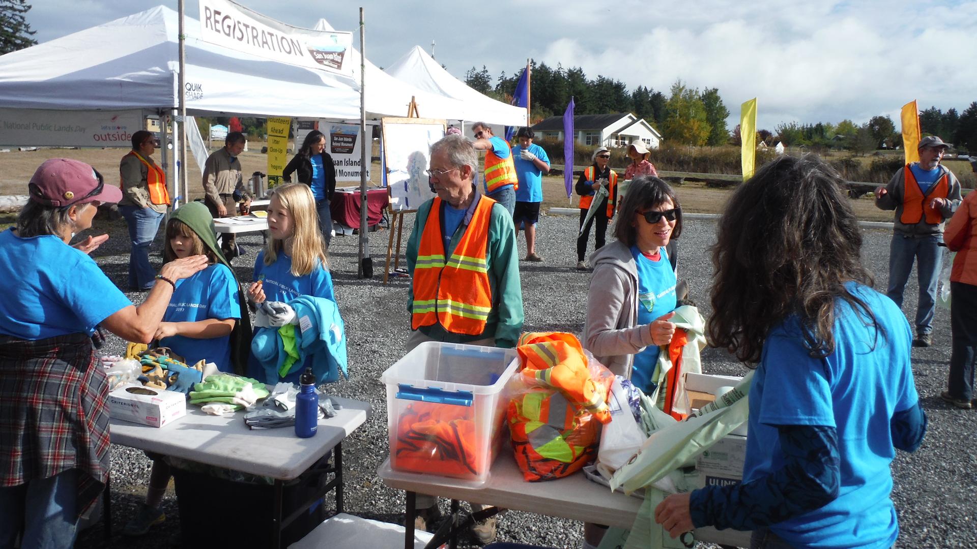
Lopez Island
Lopez Island combines rolling farmland, a small village on Fisherman Bay and a varied coast of beaches, wooded points and exposed bluffs. Its quieter roads attract cyclists, but this is still a rural island with distances between services. A satisfying visit can revolve around a village meal, the history museum and one coastal walk rather than trying to circle every shore in a day.
Get to know the place
Shaw Island
Shaw is a small, largely residential island in the San Juan archipelago, suited to a quiet beach picnic, a woodland walk and an encounter with community history. The ferry landing and its general store form a modest arrival point. The attraction is the scale of island life, not a long list of shops or organised entertainment.
Get to know the place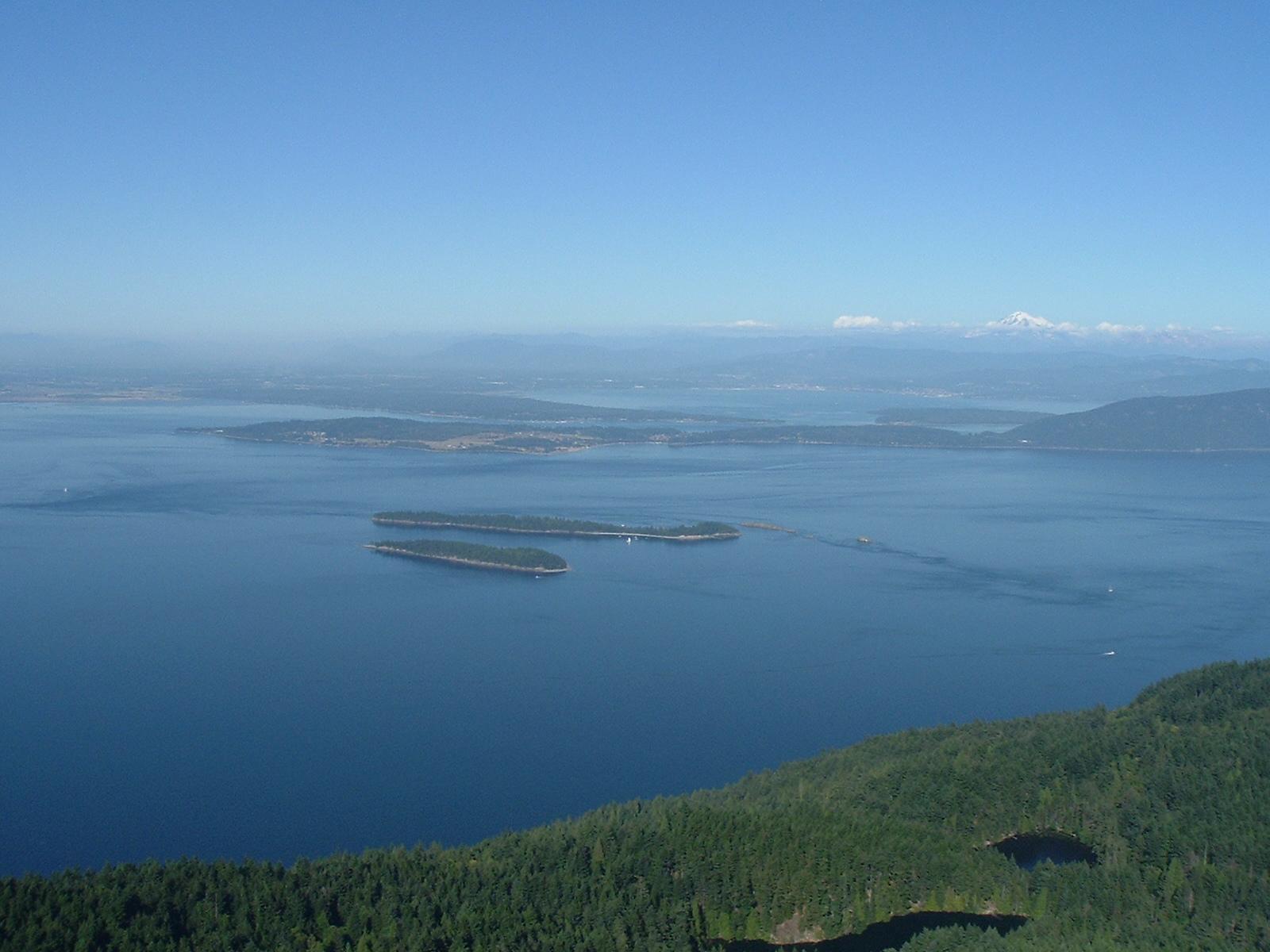
Orcas Island
Orcas Island is a hilly, horseshoe-shaped landscape of forests, lakes and scattered coastal communities. It rewards a slower visit that combines Eastsound’s shops and food with a woodland trail or a separate trip toward Olga and the eastern shore. Distances and bends matter here: a place that looks close across the water may require a much longer road journey.
Get to know the place
Friday Harbor
Friday Harbor is the walkable ferry town on San Juan Island, with a harbourfront, small shops and museums close enough to explore after arriving on foot. It is a useful base for a first island visit because meals and accommodation are concentrated near the landing, while countryside and exposed coastal viewpoints can be added as separate outings.
Get to know the placePhoto credits4
- Depicts: Lopez IslandBureau of Land Management Oregon and Washington from Portland, AmericaWikimedia CommonsPublic domainNational Public Lands Day 2017 at Lopez Island (36767732454). Author: Bureau of Land Management Oregon and Washington from Portland, America. Credit: National Public Lands Day 2017 at Lopez Island. License: Public domain (https://creativecommons.org/publicdomain/mark/1.0/). Source: https://commons.wikimedia.org/wiki/File:National_Public_Lands_Day_2017_at_Lopez_Island_(36767732454).jpg
- Depicts: Shaw IslandHarbor near Shaw Island ferry dock. Author: Joe Mabel. Credit: Photo by Joe Mabel. License: CC BY-SA 3.0 (https://creativecommons.org/licenses/by-sa/3.0/). Source: https://commons.wikimedia.org/wiki/File:Harbor_near_Shaw_Island_ferry_dock.jpgCropped to fit the display.
- Depicts: Orcas IslandMountConstitutionView. Author: Shayborg. Credit: self-made (digital camera photograph), http://en.wikipedia.org/wiki/Image:MountConstitutionView.JPG. License: Public domain (https://creativecommons.org/publicdomain/mark/1.0/). Source: https://commons.wikimedia.org/wiki/File:MountConstitutionView.jpg
- Depicts: Friday HarborFriday Harbor, WA - boats in harbor 03 (20020267924). Author: Joe Mabel (on Flickr as Joe Mabel from Seattle, US). Credit: Friday Harbor, WA - boats in harbor 03. License: CC BY-SA 3.0 (https://creativecommons.org/licenses/by-sa/3.0). Source: https://commons.wikimedia.org/wiki/File:Friday_Harbor,_WA_-_boats_in_harbor_03_(20020267924).jpgCropped to fit the display.
