
Los Mochis–Topolobampo.
Los Mochis and Topolobampo form a connected travel area, but they are not the same place. Los Mochis is the inland city with urban services and the Chepe rail gateway; Topolobampo is the coastal port and bay. The airport lies on the road between the city and port, so every arrival needs its own onward transfer.
Photo credits1
- Area image: Topolobampo — Topolobampo waterfrontWatching the boats in Topolobampo, Sinaloa, Mexico. Author: Daniel Ramirez. Credit: https://www.flickr.com/photos/danramarch/49541899217/. License: CC BY 2.0 (https://creativecommons.org/licenses/by/2.0). Source: https://commons.wikimedia.org/wiki/File:Watching_the_boats_in_Topolobampo,_Sinaloa,_Mexico.jpgCropped to fit the display.
Make your way to Los Mochis–Topolobampo
Choose a tool and your dates to check the options for your trip.
More ways to explore
- Country
- Mexico
- Currency
- MXN
- Time zone
- America/Mazatlan
Los Mochis and Topolobampo form a connected travel area, but they are not the same place. Los Mochis is the inland city with urban services and the Chepe rail gateway; Topolobampo is the coastal port and bay. The airport lies on the road between the city and port, so every arrival needs its own onward transfer.
The area combines the agricultural history of the Fuerte valley with gardens, seafood and coastal scenery. It can also be part of a longer rail or Gulf of California journey. Before committing to that itinerary, review the current Sinaloa security advice for every road segment; an advertised excursion is not evidence that its route is suitable on your dates.
When to go
Summer heat deserves deliberate planning: Ahome’s municipal authorities issued hydration measures during August 2026. September notices also document heavy rain and disruption around Topolobampo. Put exposed walks earlier in the day, carry water and check current civil-protection notices before coastal travel. A rail itinerary into the mountains requires its own clothing and weather checks, separate from conditions at the warm coastal starting point.
Getting there
Valle del Fuerte Airport serves Los Mochis with code LMM, on the Los Mochis–Topolobampo road. Baja Ferries publishes a La Paz–Topolobampo route; confirm the actual sailing and passenger or vehicle requirements. The ferry terminal is at the port, while Chepe boarding is in Los Mochis. Keep the airport, ship and rail station as three distinct destinations when arranging transfers.
Getting around
Use arranged local transport between city, airport, port and beach, with a precise meeting point and return plan. Walking suits individual central sights but not the entire travel corridor. For Chepe, the name on the ticket must match identification and stops must be specified when booking. Confirm current operating days; a connection from an arriving ferry should not assume the train will wait.
Local food
The state tourism office highlights marlin tacos and shrimp aguachile among Los Mochis specialities. Seafood is also central to meals around Topolobampo and El Maviri. Aguachile is typically served as a fresh seafood preparation rather than a fully cooked dish, so ask about preparation if that matters to you. Compare the menu and portion size before ordering a seafood platter.
What to see
In Los Mochis, visit Parque Sinaloa and its Benjamín F. Johnston Botanical Garden, whose origins connect to the sugar industry. The Museo Regional del Valle del Fuerte provides historical context, while Plazuela 27 de Septiembre is a central gathering place. Cerro de la Memoria offers a city viewpoint. Treat a Chepe journey toward the Copper Canyon as a separately planned itinerary, with selected stops and overnight arrangements.
Towns and neighbourhoods
Central Los Mochis is the practical urban base. Topolobampo has a waterfront promenade, fishing-port activity and departures into the bay. El Maviri is the nearby beach island connected by a bridge to the road from Topolobampo. El Fuerte is a separate inland destination on the rail route, not another city neighbourhood or the airport named Valle del Fuerte.
Coast and outdoors
El Maviri is the area’s established beach outing, with seafood and coastal recreation. Topolobampo Bay includes mangroves, dunes and habitats for birds and marine wildlife. Use an appropriate local boat operator for any water excursion, agree the route and return, and observe animals at a distance. Do not rely on stories about a particular resident dolphin as a guaranteed attraction.
Where to stay
Los Mochis offers the broad urban hotel base and is practical for meals, city visits and arranging onward rail travel. Topolobampo is a different choice centred on the port and bay; check actual accommodation access and the sailing’s arrival time. Choose a stay for the transport you will use next, allowing recovery time rather than combining every connection in a single rushed day.
Useful before you go
At the 29 October 2026 review, Canada advises avoiding non-essential travel to much of Sinaloa, with a Los Mochis exception conditional on access by air or sea. That exception should not be extended automatically to Topolobampo excursions or regional roads. Review the full current advisory and local conditions. Keep identification and ferry documents ready; port inspections can delay boarding.
Good to know before you go
Are Los Mochis and Topolobampo the same town?
No. Los Mochis is the inland city and rail base; Topolobampo is the coastal port. Allow a separate transfer.
Which airport serves the area?
Valle del Fuerte Airport, code LMM, serves Los Mochis and is on the road toward Topolobampo.
Can I walk from the ferry to the Chepe train?
They are in different places. Arrange transport between the port and Los Mochis railway station and verify both schedules.
Does an exception for Los Mochis cover all surrounding excursions?
No. Current government advice distinguishes destinations and access routes; check the specific road and excursion before planning it.
Sources & references
These references support the guide. Confirm opening hours, access and travel services before you go.
- 01Sinaloa tourism authority: Los Mochis sights and history
- 02Sinaloa tourism authority: local experiences and dishes
- 03Chepe operator: Topolobampo Bay
- 04Chepe operator: city, coast and rail geography
- 05Chepe: ticket identity, stops and connections
- 06Chepe: stations and planning
- 07GAP: Los Mochis LMM airport
- 08Baja Ferries: published La Paz–Topolobampo route
- 09Baja Ferries: documentation and port checks
- 10Ahome municipality: summer heat precautions
- 11Ahome Civil Protection: September rain disruption
- 12Government of Canada: Sinaloa travel advisory reviewed 29 October 2026
- 13Sinaloa tourism authority: Los Mochis accommodation base
Where could the journey go next?
More guides in Mexico. Compare the places and check actual connections before combining stops.
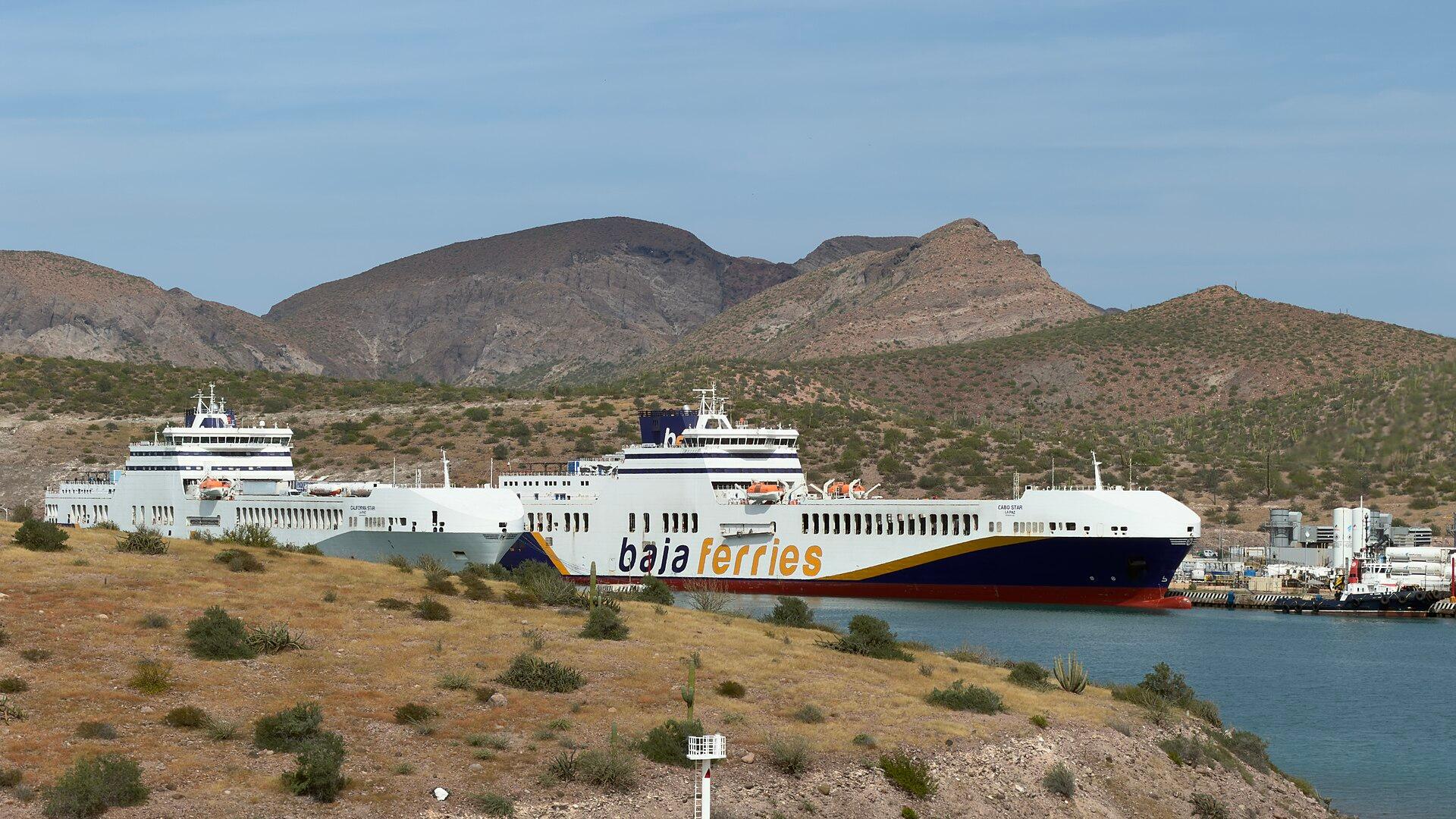
La Paz, Baja California Sur
La Paz is the capital of Baja California Sur, on the Gulf of California side of the peninsula. Its appeal is the combination of a walkable waterfront, city culture and the contrast between desert landscapes and the Sea of Cortez. It rewards time ashore as well as time on the water.
Get to know the place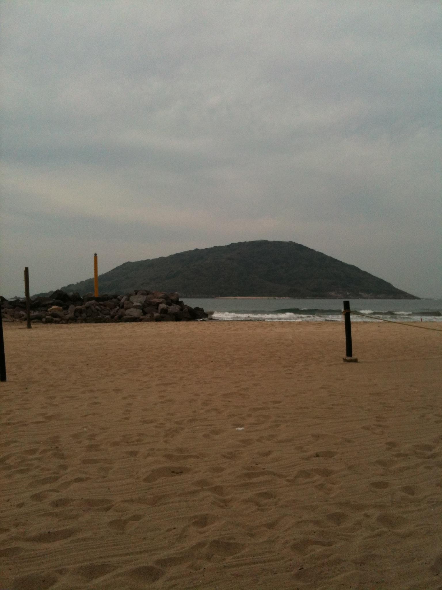
Mazatlán
Mazatlán is a Pacific port city with a historic centre, a long waterfront and a strong seafood identity. Its old streets and plazas give a city stay a different character from a holiday spent entirely in a coastal resort. The Malecón links seafront views with public monuments and places to stop for sunset.
Get to know the place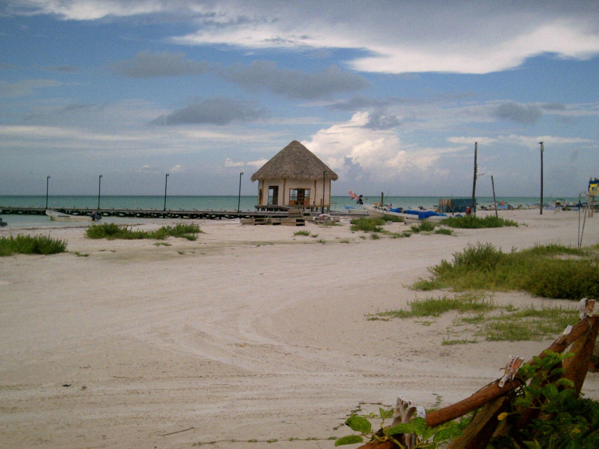
Holbox
Holbox sits within the Yum Balam protected landscape on the northern coast of Quintana Roo. Sandy streets, painted façades, village murals and a shallow coastal setting give it a different rhythm from Cancún’s resort strip. Its appeal is the combination of fishing-island life, beach time and nature outings.
Get to know the place
Playa del Carmen
Playa del Carmen is a mainland Riviera Maya city where a walkable shopping-and-dining centre meets a busy Caribbean beachfront. Its former fishing-village setting has grown into a base for hotels, nightlife and trips into the surrounding region. Quinta Avenida, the pedestrian Fifth Avenue, runs parallel to the sea.
Get to know the placePhoto credits4
- Depicts: La Paz, Baja California SurBajaFerries. Author: DJ Cane. Credit: Own work. License: CC BY-SA 4.0 (https://creativecommons.org/licenses/by-sa/4.0). Source: https://commons.wikimedia.org/wiki/File:BajaFerries.jpgCropped to fit the display.
- Depicts: MazatlánPlaya de Mazatlán - panoramio. Author: Lynx Burgos. Credit: https://web.archive.org/web/20161024122112/http://www.panoramio.com/photo/86846079. License: CC BY-SA 3.0 (https://creativecommons.org/licenses/by-sa/3.0). Source: https://commons.wikimedia.org/wiki/File:Playa_de_Mazatl%C3%A1n_-_panoramio.jpgCropped to fit the display.
- Depicts: HolboxIsla Hol-Box. Author: Dr Marin. Credit: Own work. License: Public domain (https://creativecommons.org/publicdomain/mark/1.0/). Source: https://commons.wikimedia.org/wiki/File:Isla_Hol-Box.jpeg
- Depicts: Playa del Carmen
