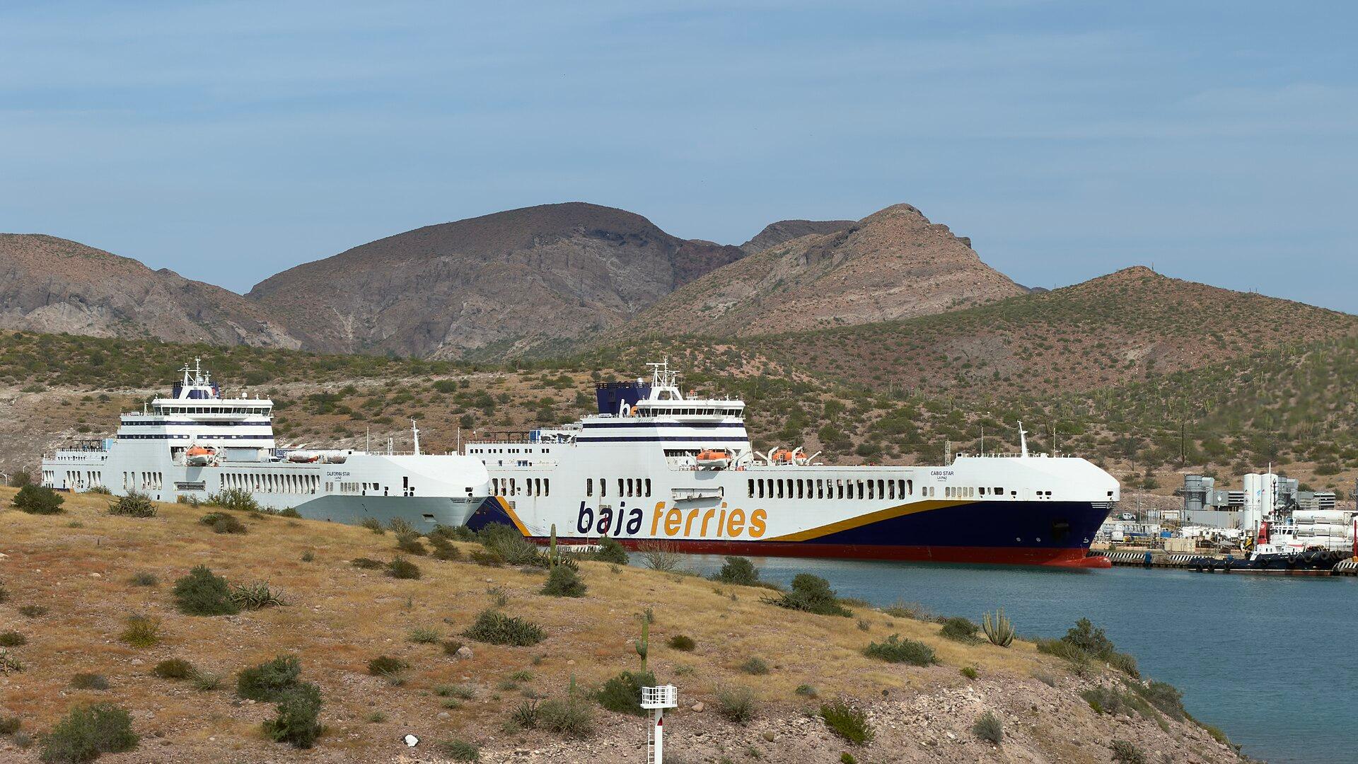
La Paz, Baja California Sur.
La Paz is the capital of Baja California Sur, on the Gulf of California side of the peninsula. Its appeal is the combination of a walkable waterfront, city culture and the contrast between desert landscapes and the Sea of Cortez. It rewards time ashore as well as time on the water.
Photo credits1
- Depicts: La Paz, Baja California SurBajaFerries. Author: DJ Cane. Credit: Own work. License: CC BY-SA 4.0 (https://creativecommons.org/licenses/by-sa/4.0). Source: https://commons.wikimedia.org/wiki/File:BajaFerries.jpgCropped to fit the display.
Make your way to La Paz, Baja California Sur
Choose a tool and your dates to check the options for your trip.
More ways to explore
- Country
- Mexico
- Currency
- MXN
- Time zone
- America/Mazatlan
La Paz is the capital of Baja California Sur, on the Gulf of California side of the peninsula. Its appeal is the combination of a walkable waterfront, city culture and the contrast between desert landscapes and the Sea of Cortez. It rewards time ashore as well as time on the water.
Plan around the sea without making every day dependent on a boat. Balandra and El Tecolote offer distinct beach settings, while Espíritu Santo is an organised island excursion. Museums, waterfront sculptures and seafood meals provide a useful counterpoint. A whale-shark trip belongs only in the currently authorised season and never guarantees a sighting.
When to go
The region is dry for much of the year, but Pacific tropical storms are a planning consideration from roughly mid-May through November. Winter brings the wind-sport season to nearby La Ventana. Wildlife outings have their own regulations: SEMARNAT publishes a specific La Paz whale-shark management plan and seasonal notices. Check the current notice and sea conditions rather than treating a tourism calendar as permission to enter.
Getting there
Manuel Márquez de León International Airport uses the code LAP and sits southwest of the city. La Paz’s ferry connection uses Pichilingue, not a pier on the central Malecón. The tourism authority lists mainland routes to Topolobampo and Mazatlán; verify the actual route and sailing with the operator for your date. Passenger, cabin and vehicle arrangements are separate parts of planning.
Getting around
Walking and cycling work along the waterfront, but the ferry port, Balandra and El Tecolote require a separate transport plan. Arrange a car, taxi or excursion with a confirmed return; do not assume a beach transfer includes a later collection. Boat trips need the operator’s specific meeting point, which may differ from the intercity ferry terminal. Allow time for port checks when continuing across the gulf.
Local food
Fish and shrimp tacos are a natural introduction to the local seafood tradition. The tourism board’s Baja-style recipe uses battered, fried seafood served in tortillas with pico de gallo. Shrimp burritos and tuna ceviche also feature in its regional recipe collection. Ask about the day’s preparation and portion size, and separate a casual waterfront meal from any excursion lunch included in a tour.
What to see
Walk or cycle the Malecón and look for sculptures such as La Perla and El Viejo y El Mar. The Regional Museum of Anthropology and History covers the peninsula’s geological and human past; MUABCS, the state art museum, presents local and national artists. For Espíritu Santo, select a permitted boat operator and ask which island stops and activities are authorised for the day.
Towns and neighbourhoods
Centro and the Malecón concentrate waterfront walks, dining and city visits. Pichilingue is the port area outside the city, so a ferry arrival needs onward transport. La Ventana and El Sargento are separate coastal communities associated with wind sports, while Todos Santos and El Triunfo are regional excursions. Do not interpret these names as walkable neighbourhoods of central La Paz.
Coast and outdoors
Balandra is a protected landscape of mangroves, dunes, rocky reefs and the distinctive mushroom-shaped rock, El Hongo. Respect the managed access sessions and permitted trails; confirm the current entry arrangements before travelling there. Nearby El Tecolote faces Espíritu Santo and has beach food and water activities. Neither shallow-looking water nor a sunny photograph establishes safe swimming conditions on your visit.
Where to stay
A hotel near the Malecón makes restaurants, cafés and sunset walks easier without repeated transfers. For a beach or resort property farther from Centro, check the actual location and how evening transport works. If arriving late by ferry, coordinate the Pichilingue pickup with the accommodation. A marina address, airport address and central waterfront address represent different travel needs.
Useful before you go
Carry water, sun protection and suitable footwear for exposed coastal terrain. In protected areas, use permitted guides and follow posted conservation instructions instead of approaching wildlife independently. Baja Ferries asks travellers to review documentation and warns that port inspections may delay boarding. Keep identity and vehicle papers accessible, and avoid a tight connection from a nature excursion to a ferry or flight.
Good to know before you go
Does the ferry arrive on the central waterfront?
No. Intercity ferries use Pichilingue outside central La Paz; arrange the transfer separately.
Can I visit Balandra at any time?
It is a protected area with managed access. Confirm the current sessions, capacity and entry rules with CONANP before departure.
Are whale-shark trips available throughout the year?
No. Use the current La Paz seasonal notice and a permitted operator; wildlife presence and weather still affect the outing.
Where is convenient for a first city stay?
Near the Malecón or Centro for walking, meals and museums. Check the separate transport required for beaches and the ferry port.
Sources & references
These references support the guide. Confirm opening hours, access and travel services before you go.
- 01La Paz tourism trust: geography and climate
- 02La Paz tourism trust: Malecón public art
- 03La Paz tourism trust: museums
- 04CONANP: Balandra protected area
- 05La Paz tourism trust: Espíritu Santo excursions
- 06La Paz tourism trust: El Tecolote
- 07La Paz tourism trust: fish and shrimp tacos
- 08La Paz tourism trust: tropical storm season
- 09La Paz tourism trust: La Ventana wind season
- 10SEMARNAT: La Paz whale-shark regulations and current notices
- 11GAP: Manuel Márquez de León airport LAP
- 12La Paz tourism trust: Pichilingue ferry routes
- 13Baja Ferries: preparation and port inspections
- 14La Paz tourism trust: accommodation near Malecón
Where could the journey go next?
More guides in Mexico. Compare the places and check actual connections before combining stops.
 Topolobampo waterfront
Los Mochis–Topolobampo
Los Mochis and Topolobampo form a connected travel area, but they are not the same place. Los Mochis is the inland city with urban services and the Chepe rail gateway; Topolobampo is the coastal port and bay. The airport lies on the road between the city and port, so every arrival needs its own onward transfer.
Get to know the place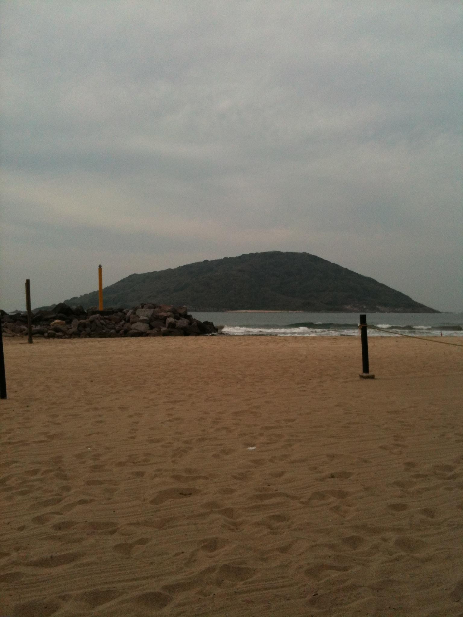
Mazatlán
Mazatlán is a Pacific port city with a historic centre, a long waterfront and a strong seafood identity. Its old streets and plazas give a city stay a different character from a holiday spent entirely in a coastal resort. The Malecón links seafront views with public monuments and places to stop for sunset.
Get to know the place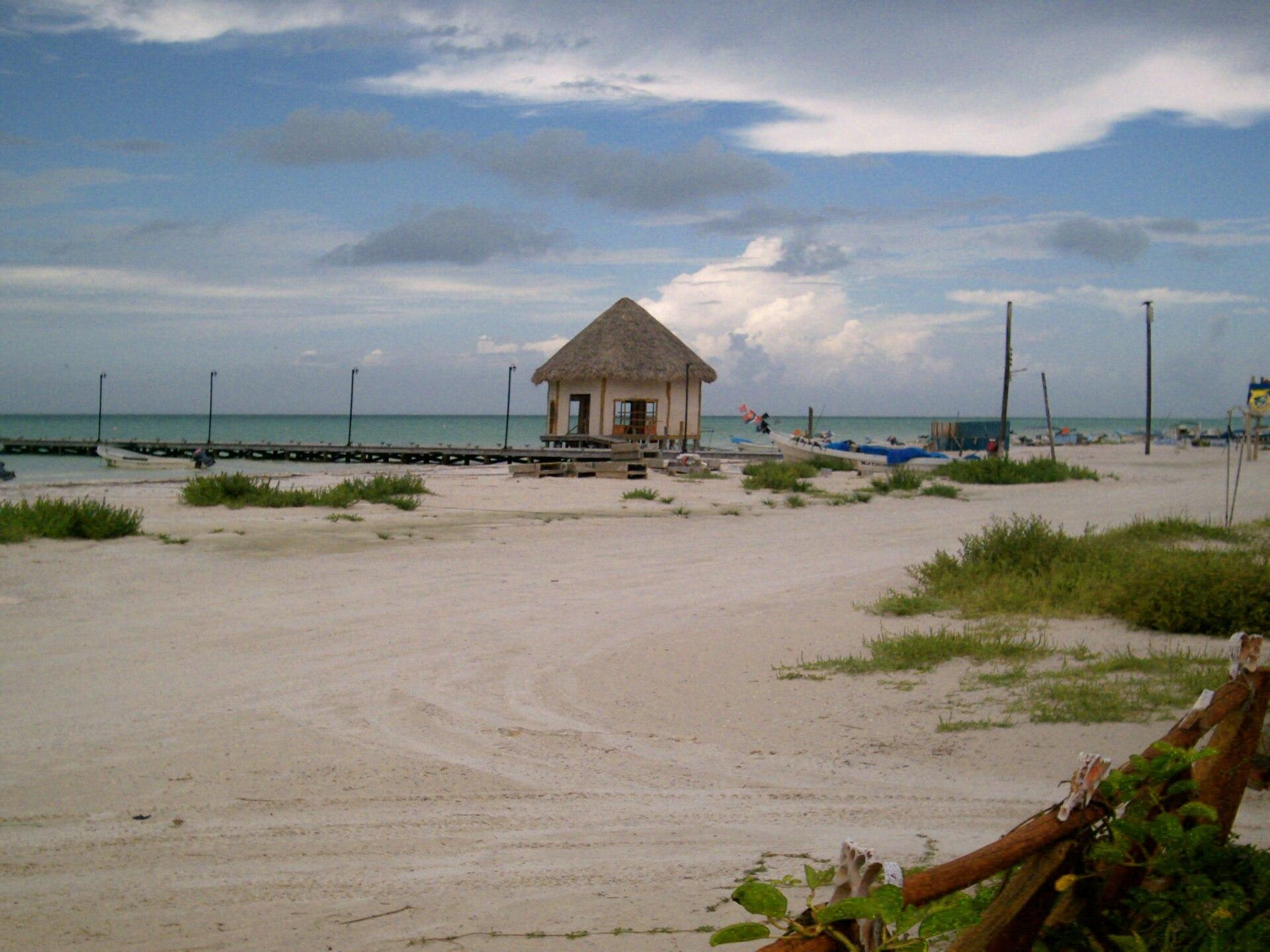
Holbox
Holbox sits within the Yum Balam protected landscape on the northern coast of Quintana Roo. Sandy streets, painted façades, village murals and a shallow coastal setting give it a different rhythm from Cancún’s resort strip. Its appeal is the combination of fishing-island life, beach time and nature outings.
Get to know the place
Playa del Carmen
Playa del Carmen is a mainland Riviera Maya city where a walkable shopping-and-dining centre meets a busy Caribbean beachfront. Its former fishing-village setting has grown into a base for hotels, nightlife and trips into the surrounding region. Quinta Avenida, the pedestrian Fifth Avenue, runs parallel to the sea.
Get to know the placePhoto credits4
- Area image: Topolobampo — Topolobampo waterfrontWatching the boats in Topolobampo, Sinaloa, Mexico. Author: Daniel Ramirez. Credit: https://www.flickr.com/photos/danramarch/49541899217/. License: CC BY 2.0 (https://creativecommons.org/licenses/by/2.0). Source: https://commons.wikimedia.org/wiki/File:Watching_the_boats_in_Topolobampo,_Sinaloa,_Mexico.jpgCropped to fit the display.
- Depicts: MazatlánPlaya de Mazatlán - panoramio. Author: Lynx Burgos. Credit: https://web.archive.org/web/20161024122112/http://www.panoramio.com/photo/86846079. License: CC BY-SA 3.0 (https://creativecommons.org/licenses/by-sa/3.0). Source: https://commons.wikimedia.org/wiki/File:Playa_de_Mazatl%C3%A1n_-_panoramio.jpgCropped to fit the display.
- Depicts: HolboxIsla Hol-Box. Author: Dr Marin. Credit: Own work. License: Public domain (https://creativecommons.org/publicdomain/mark/1.0/). Source: https://commons.wikimedia.org/wiki/File:Isla_Hol-Box.jpeg
- Depicts: Playa del Carmen
