
Catawba Island Dock.
Catawba Island Dock is the mainland Miller Ferry terminal at the northern end of Ohio Route 53. It is a transport gateway within the Catawba area, not a separate offshore island destination. A Port Clinton postal address does not place it at downtown Port Clinton’s waterfront.
Photo credits1
- Area image: Catawba Island area — Area overview: Catawba Island areaCatawba Island from the air. Author: Nyttend. Credit: Own work. License: Public domain (https://creativecommons.org/publicdomain/mark/1.0/). Source: https://commons.wikimedia.org/wiki/File:Catawba_Island_from_the_air.jpg
Make your way to Catawba Island Dock
Choose a tool and your dates to check the options for your trip.
More ways to explore
- Country
- United States
- Currency
- USD
- Time zone
- America/New York
Catawba Island Dock is the mainland Miller Ferry terminal at the northern end of Ohio Route 53. It is a transport gateway within the Catawba area, not a separate offshore island destination. A Port Clinton postal address does not place it at downtown Port Clinton’s waterfront.
You can make the wait or an overnight stop more enjoyable with local history, orchard food and a lakeside picnic. Keep the scale realistic: the terminal itself is a working loading area, while the museum, state park and other mainland attractions have their own entrances. Island sightseeing begins only after the appropriate ferry crossing.
When to go
Summer combines the broadest ferry timetable with outdoor dining and museum visits. The museum’s specific 2026 visitor calendar lists Memorial Day through September. Ferry schedules change again in late autumn: the Middle Bass timetable checked on 29 October 2026 excludes Wednesdays for its late-season period. A boat shown in a general destination guide is not proof of a departure on your chosen day.
Getting there
Drive to Miller’s Catawba terminal using its exact East Water Street address. The operator distinguishes this route from the approach through downtown Port Clinton and provides parking information for foot passengers. Crossings serve South Bass Island’s Lime Kiln Dock or Middle Bass Island. Check the relevant destination’s timetable rather than using the more frequent South Bass service for both islands.
Getting around
On the mainland, allow a separate road journey between the terminal and accommodation farther down Catawba Road. Once across to South Bass, Lime Kiln Dock is about two miles from downtown Put-in-Bay; the operator lists bus, taxi, bicycle and golf-cart options when available. A foot-passenger ticket therefore does not remove the need to plan the island-side transfer.
Local food
Fruit growing is a visible part of Catawba’s food identity. The regional tourism office lists the Ørchard Farm Stand for coffee, bakery items, sandwiches and pizzas, with local produce, honey and preserves in its market. A stop along Catawba Road works before boarding, provided you leave time for the queue. Seasonal fruit availability changes; do not expect every orchard product throughout the year.
What to see
The Catawba Island History Museum occupies Union Chapel on East Porter Street, a few blocks from the ferry terminal. It introduces the community’s past through local collections and stories. Its visitor page publishes a summer season, so check arrangements before treating it as an all-weather stop outside that period. The chapel setting offers a quieter alternative to rushing straight through the district.
Towns and neighbourhoods
The ferry is reached at the end of OH-53 North; the operator gives 5174 East Water Street as its GPS address. The wider Catawba area stretches back along the road toward other dining and lodging. Downtown Port Clinton is a separate drive, and South Bass and Middle Bass are separate ferry destinations. Read the island name as carefully as the departure terminal.
Coast and outdoors
Catawba Island State Park is a day-use green space with lake views, picnic areas and a stone shelter. Its cobblestone shore provides carry-in access for kayaks and canoes, alongside separate boat ramps. Treat it as a lakeside park and launch point rather than expecting a large sandy resort beach. Check conditions before launching into Lake Erie’s exposed water.
Where to stay
Choose Catawba or nearby mainland lodging for a flexible driving base and access to the terminal. Port Clinton, Marblehead and Lakeside appear together in regional accommodation listings but occupy different locations. Island hotels require an additional crossing and a workable last return. Compare the actual property address with the dock, especially when leaving a vehicle on the mainland overnight.
Useful before you go
Vehicle rules differ by island. Middle Bass requires a vehicle reservation, while South Bass uses a queue and has restrictions on same-day weekend or holiday vehicle returns. Read the current rules before deciding to take a car. Keep loading lanes clear, use the designated passenger areas and ask staff for boarding assistance where needed. Wind and lake conditions can change the travel plan.
Good to know before you go
Is Catawba Dock in downtown Port Clinton?
No. Its postal address says Port Clinton, but Miller’s terminal is at the end of OH-53 North in Catawba.
Does the ferry land in central Put-in-Bay?
Miller uses Lime Kiln Dock, approximately two miles from downtown on South Bass Island.
Do both islands use the same timetable?
No. South Bass and Middle Bass have separate schedules; the late-October 2026 Middle Bass schedule has no Wednesday trips.
Should I reserve a car space?
Middle Bass requires a vehicle reservation. South Bass follows different queue and return rules; check the operator before travelling.
Is the state park a sandy beach resort?
No. It is a day-use lakeside park with picnic space, ramps and a cobblestone carry-in shore.
Sources & references
These references support the guide. Confirm opening hours, access and travel services before you go.
- 01Ohio DNR: day-use park and cobblestone launch shore
- 02Historical society: Union Chapel location
- 03Historical society: specific 2026 museum season
- 04Regional tourism: orchard food and produce
- 05Miller: exact mainland address and separate approach
- 06Miller: island transfer and boarding assistance
- 07Miller: South Bass schedule and vehicle restrictions
- 08Miller: Middle Bass late-autumn schedule and reservations
- 09Regional tourism: distinct mainland lodging areas
- 10Miller: terminal layout, boarding rules and island destinations
Where could the journey go next?
More guides in United States. Compare the places and check actual connections before combining stops.
Put-in-Bay
Put-in-Bay is the lively village and harbour on South Bass Island in Lake Erie. Its summer character mixes waterfront dining, entertainment and family attractions, while quieter woods and shoreline parks lie away from the central streets. The island’s history includes winemaking and the War of 1812, not only its modern nightlife.
Get to know the place
Kelleys Island
Kelleys Island combines a small southern village with an unusually visible geological past. Glacial grooves, limestone quarries and shoreline rock formations help explain how this Ohio island in western Lake Erie took shape. Historic houses and the island museum add a human story of quarrying, shipping and winemaking.
Get to know the place
Middle Bass Island
Middle Bass Island offers a quieter Lake Erie stay than nearby Put-in-Bay, with vineyard history, nature preserves and a marina around its southern shore. The former Lonz Winery gives the state park its distinctive landmark, while wooded island lanes lead to small protected habitats and open-water views.
Get to know the place
Port Clinton
Port Clinton is a mainland Lake Erie city with a working waterfront, fishing culture and a compact historic centre. Its identity is strongly tied to walleye, marinas and island travel, but the shoreline parks, lighthouse and nearby aviation museum give it reasons to stay beyond a ferry connection.
Get to know the placePhoto credits4
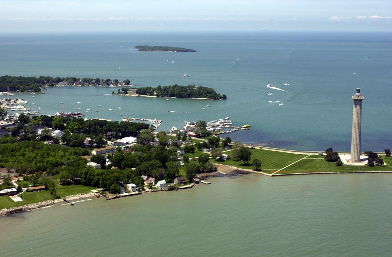
- Depicts: Put-in-BayPerry's Victory and International Peace Memorial (4663688070). Author: NOAA's National Ocean Service. Credit: Perry's Victory and International Peace Memorial. License: CC BY 2.0 (https://creativecommons.org/licenses/by/2.0). Source: https://commons.wikimedia.org/wiki/File:Perry%27s_Victory_and_International_Peace_Memorial_(4663688070).jpgCropped to fit the display.
- Depicts: Kelleys IslandLake-erie-kelleys-island. Author: Derek Jensen ( Tysto ). Credit: Self-photographed. License: Public domain (https://creativecommons.org/publicdomain/mark/1.0/). Source: https://commons.wikimedia.org/wiki/File:Lake-erie-kelleys-island.jpg
- Depicts: Middle Bass IslandLakeErieIslands. Author: Lake Erie Coastal Ohio, Inc.. Credit: http://www.fhwa.dot.gov/byways/photos/60169. License: Public domain (https://creativecommons.org/publicdomain/mark/1.0/). Source: https://commons.wikimedia.org/wiki/File:LakeErieIslands.JPG
- Depicts: Port ClintonDowntown Port Clinton from the air. Author: Nyttend. Credit: Own work. License: Public domain (https://creativecommons.org/publicdomain/mark/1.0/). Source: https://commons.wikimedia.org/wiki/File:Downtown_Port_Clinton_from_the_air.jpg
