
Puerto Barrios.
Puerto Barrios is a working Caribbean port city and the departmental capital of Izabal. It is useful for road arrivals, local services and onward boats to Livingston, but its own food and waterfront deserve time too. Garífuna influence appears in coconut-based cooking and bread, alongside the commercial life of a city built around maritime trade.
Photo credits1
- Depicts: Puerto BarriosCiudad de Puerto Barrios de noche. Author: Robert338950. Credit: Own work. License: CC BY-SA 4.0 (https://creativecommons.org/licenses/by-sa/4.0). Source: https://commons.wikimedia.org/wiki/File:Ciudad_de_Puerto_Barrios_de_noche.jpgCropped to fit the display.
Make your way to Puerto Barrios
Choose a tool and your dates to check the options for your trip.
More ways to explore
- Country
- Guatemala
- Currency
- GTQ
- Time zone
- America/Guatemala
Puerto Barrios is a working Caribbean port city and the departmental capital of Izabal. It is useful for road arrivals, local services and onward boats to Livingston, but its own food and waterfront deserve time too. Garífuna influence appears in coconut-based cooking and bread, alongside the commercial life of a city built around maritime trade.
The wider municipality includes Santo Tomás de Castilla, with a distinct port and access toward the forests of Cerro San Gil. Choose the base according to your next journey: central Puerto Barrios for town services and the municipal boat dock, or the Santo Tomás side for nearby forest outings. A cargo or cruise terminal is not automatically the departure point for a small passenger boat.
When to go
This is a humid Caribbean coast. INSIVUMEH's 1991–2020 climate averages show April appreciably drier than June in Puerto Barrios, but averages cannot promise a dry trip or smooth sea. Heavy rain can affect forest paths and onward roads. Keep a flexible outdoor day and check current local conditions before a boat or waterfall outing.
Getting there
Litegua lists separate agencies for Puerto Barrios and Santo Tomás, so specify the right stop when arranging a road journey. CONAP identifies the Puerto Barrios municipal dock among the region's river-and-coast access points. A DGAC release of 26 October 2026 describes the aerodrome's proposed internationalisation as work still under study. Confirm actual air services separately; that proposal is not an operating international route.
Getting around
Use a locally arranged taxi for luggage transfers and trips between the centre, Santo Tomás and forest access points. Agree the destination and fare before departure. Passenger boats serve water-based journeys such as Livingston, but first confirm the dock, departure and return arrangements. Leave time between road and boat legs rather than treating them as a protected connection.
Local food
Puerto Barrios has its own Garífuna-influenced food culture. Look for tapado, seafood broths and stews, and rice and beans cooked with coconut. Coconut bread, banana bread and casabe also appear in the municipal cultural inventory. Ask what is available and how the dish is prepared; seafood content and coconut ingredients matter for allergies. These are local food traditions, not a list of reviewed restaurants.
What to see
The malecón and Parque Tecún Umán offer an introduction to Amatique Bay and the waterfront's historic setting, including Hotel del Norte. For a different landscape, make Quiriguá an inland road excursion: the UNESCO-listed Maya site is known for carved sandstone stelae and zoomorphic monuments. Allow separate time for that archaeology instead of squeezing it between uncertain boat connections.
Towns and neighbourhoods
Distinguish the city centre, Santo Tomás de Castilla and the broader bay when reading accommodation addresses. They share municipal geography but are not interchangeable arrival points. The central market introduces everyday local commerce and ingredients. For a coastal excursion, obtain the actual landing name and an agreed return; a booking simply labelled Puerto Barrios can leave too much unspecified.
Coast and outdoors
Las Escobas in Cerro San Gil is a forest-and-waterfall outing accessed on the Santo Tomás–Punta Palma side. Wear shoes suitable for wet paths and ask about current access. Punta de Manabique protects a much more remote mix of coastal wetlands, forest and marine habitats. Treat it as a conservation excursion requiring local arrangements, rather than an urban beach with assumed visitor facilities.
Where to stay
A central stay makes sense for a morning departure from the municipal dock or access to city services. Santo Tomás accommodation suits a different starting point near the port locality and Cerro San Gil approaches. Ask the property for its exact road address and transfer options. A bayfront photograph alone does not show whether a property is convenient for your particular boat.
Useful before you go
Carry rain protection, insect repellent, drinking water and a dry bag for boat luggage. For remote wetlands or forest routes, arrange an appropriate guide and verify access with the relevant manager. Use reputable transport and favour daylight road journeys. Check the latest Izabal advice before isolated outings; keep essential documents accessible without leaving valuables exposed on the waterfront.
Good to know before you go
Is Santo Tomás de Castilla the same passenger dock as central Puerto Barrios?
No. The port locality and municipal passenger dock must be distinguished. Use the exact location supplied for your boat or ship.
Can I visit Quiriguá from here?
It is an inland road excursion in Izabal, best given its own time. It is not a stop on the passenger boat to Livingston.
Is the airport already an international gateway?
The 26 October 2026 DGAC release described internationalisation as a proposal under study. Confirm current flight services directly before planning an arrival.
What food is characteristic of Puerto Barrios?
Garífuna-influenced tapado, seafood preparations, coconut rice and beans, coconut or banana bread, and casabe are documented locally.
Sources & references
These references support the guide. Confirm opening hours, access and travel services before you go.
- 01Guatemala cultural ministry: Puerto Barrios identity, market and cuisine
- 02Government tourism planning: Puerto Barrios waterfront heritage
- 03CONAP: Cerro San Gil and Las Escobas access
- 04CONAP: river and coastal docks
- 05UNESCO: Quirigua archaeology
- 06Ramsar: Punta de Manabique habitats
- 07Litegua: separate Puerto Barrios and Santo Tomas agencies
- 08DGAC, 26 October 2026: aerodrome internationalisation under study
- 09EMPORNAC: Santo Tomas port
- 10INSIVUMEH: April climate normals 1991–2020
- 11INSIVUMEH: June climate normals 1991–2020
- 12UK FCDO: Guatemala regional and transport advice
- 13Gran Costa Azul: Santo Tomas locality
Where could the journey go next?
More guides in Guatemala. Compare the places and check actual connections before combining stops.

Livingston
Livingston sits where the Río Dulce reaches Amatique Bay on Guatemala's Caribbean coast. Its Garífuna heritage is central to the visit, alongside the Q'eqchi' communities of the surrounding region. Come for the town's food, language and cultural life as well as excursions on the river and coast. An overnight gives these experiences more room than a hurried stop between boats.
Get to know the place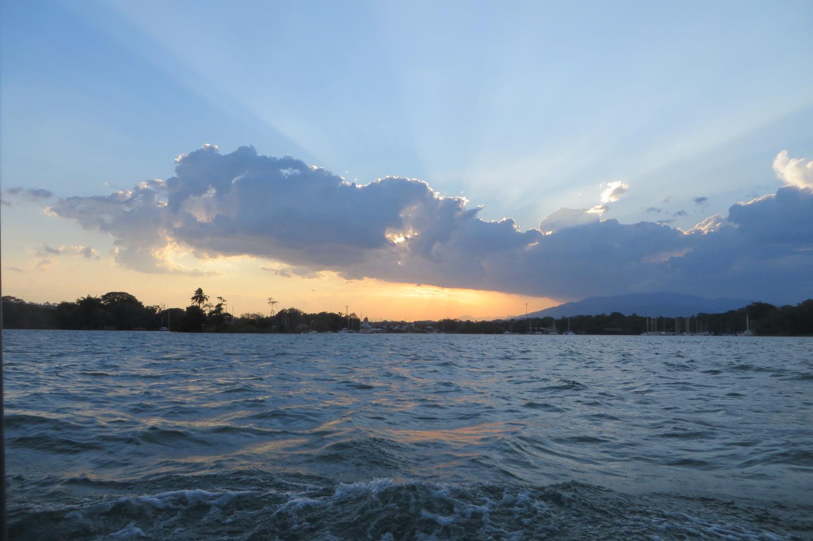 Area overview: Río Dulce river region
Río Dulce / Fronteras
Río Dulce links Lake Izabal with Guatemala's Caribbean coast through a landscape of broad water, tropical forest and a wooded canyon. Fronteras is the road-access town used as a gateway to this river country. Come for a lodge by the water, boat journeys and nature outings, while using the town for transport and practical services.
Get to know the placePhoto credits2
- Depicts: LivingstonLivingston, Izabal - Guatemala. Author: Exploraguate. Credit: Own work. License: CC BY-SA 4.0 (https://creativecommons.org/licenses/by-sa/4.0). Source: https://commons.wikimedia.org/wiki/File:Livingston,_Izabal_-_Guatemala.jpgCropped to fit the display.
- Area image: Río Dulce river region — Area overview: Río Dulce river regionRioDulce1. Author: BBCLCD. Credit: Own work. License: CC BY-SA 4.0 (https://creativecommons.org/licenses/by-sa/4.0). Source: https://commons.wikimedia.org/wiki/File:RioDulce1.jpgCropped to fit the display.
