
West End.
West End is a western Tortola harbour area centred on Soper’s Hole, with passenger ferries, yacht activity and the wharf businesses by Frenchman’s Cay. It offers a maritime base with a different rhythm from the capital, Road Town.
Photo credits1
- Depicts: West EndKaribik - Brit. Jungferninseln - West End of Tortola - panoramio. Author: giggel. Credit: https://web.archive.org/web/20161020024435/http://www.panoramio.com/photo/68963113. License: CC BY 3.0 (https://creativecommons.org/licenses/by/3.0). Source: https://commons.wikimedia.org/wiki/File:Karibik_-_Brit._Jungferninseln_-_West_End_of_Tortola_-_panoramio.jpgCropped to fit the display.
Make your way to West End
Choose a tool and your dates to check the options for your trip.
More ways to explore
- Country
- British Virgin Islands
- Currency
- USD
- Time zone
- America/Tortola
West End is a western Tortola harbour area centred on Soper’s Hole, with passenger ferries, yacht activity and the wharf businesses by Frenchman’s Cay. It offers a maritime base with a different rhythm from the capital, Road Town.
The harbour is useful for onward journeys, but it also deserves time on shore. Combine a waterfront stop with a western beach outing, then return without rushing for the last connection. A ferry arrival and a private-yacht berth are separate arrangements even when both use the Soper’s Hole area.
When to go
Ferry and marina plans depend on actual marine conditions. June–November is hurricane season, so follow official notices and keep a flexible onward plan when storms threaten. Even on a clear day, allow for the heat of shore excursions and carry water for a beach or inland walking stop.
Getting there
The West End Jetty at Soper’s Hole handles passenger traffic and has customs and immigration facilities. It is separate from Road Town. Check the destination on your ticket and tell the driver West End rather than simply Tortola.
Tourism information lists links between West End and Great Harbour on Jost Van Dyke, as well as U.S. Virgin Islands connections. Confirm the current operator and date. Air arrivals at EIS on Beef Island require a road transfer across to western Tortola.
Getting around
Arrange a taxi, rental vehicle or accommodation transfer for beaches and onward island travel. Keep your return pickup specific, especially after a visit to a quieter cove. If arriving by yacht, confirm the assigned marina berth or mooring rather than using a passenger-ferry terminal as a substitute landing arrangement.
Local food
The wharf and marina have dining and coffee businesses, useful for a break before or after a crossing. For a wider local-food experience, ask about fish and fungi or other Virgin Islands preparations wherever offered. A marina listing does not establish the current menu: confirm opening and any reservation directly with the selected venue.
What to see
Explore Soper’s Hole Wharf and Marina for its harbour setting, shops and boating activity. The marina is beside Frenchman’s Cay on western Tortola and serves visitors arriving both by land and sea. It is a practical stop for a meal or supplies as well as a place to watch the waterfront.
For a different landscape, make a planned road excursion to Sage Mountain National Park. Its forest paths are inland, not part of a short marina stroll. Check the route and conditions before combining a hike with a fixed ferry departure.
Towns and neighbourhoods
Distinguish the West End ferry terminal from the marina businesses around Frenchman’s Cay. Nearby western coastal stays may use names such as Long Bay or Apple Bay, while the capital is Road Town farther along Tortola. Ask for a precise address and pickup point; the words West End can describe more than the immediate terminal.
Coast and outdoors
Long Bay at West End and Smuggler’s Cove are western Tortola beach options requiring their own access plan. They are different from Long Bay on Beef Island, near the airport side of the archipelago. Check local surf, entry conditions and the return journey before leaving the harbour, particularly if you have luggage or a sailing to catch.
Where to stay
A Soper’s Hole-area stay suits travellers prioritising the harbour and western ferry gateway. Nearby beach and hillside accommodation gives a different experience and may require a vehicle for everyday meals or boarding. Check the exact road access and transport at the time of your arrival, not just the distance shown on a map.
Useful before you go
For an international crossing, confirm entry documents and complete the official arrival process required for your journey. Marina booking, ferry ticket and border clearance are different tasks. Before a Jost Van Dyke day trip, confirm the return service as well as transport between the arrival harbour and your chosen beach.
Good to know before you go
Is this the Road Town ferry terminal?
No. West End is a different gateway on western Tortola.
Where is Soper’s Hole Marina?
Beside Frenchman’s Cay in the West End area.
Which Long Bay is nearby?
Long Bay at West End; Long Bay on Beef Island is a separate beach.
Can I combine a Jost Van Dyke visit with this base?
Check the West End–Great Harbour service for your date and plan the return before setting off.
Sources & references
These references support the guide. Confirm opening hours, access and travel services before you go.
- 01British Virgin Islands public authority, National Parks Trust, tourism board or marina
- 02British Virgin Islands public authority, National Parks Trust, tourism board or marina
- 03British Virgin Islands public authority, National Parks Trust, tourism board or marina
- 04British Virgin Islands public authority, National Parks Trust, tourism board or marina
- 05British Virgin Islands public authority, National Parks Trust, tourism board or marina
- 06British Virgin Islands public authority, National Parks Trust, tourism board or marina
- 07British Virgin Islands public authority, National Parks Trust, tourism board or marina
- 08British Virgin Islands public authority, National Parks Trust, tourism board or marina
- 09British Virgin Islands public authority, National Parks Trust, tourism board or marina
- 10British Virgin Islands public authority, National Parks Trust, tourism board or marina
- 11British Virgin Islands public authority, National Parks Trust, tourism board or marina
- 12British Virgin Islands public authority, National Parks Trust, tourism board or marina
Where could the journey go next?
More guides in British Virgin Islands. Compare the places and check actual connections before combining stops.
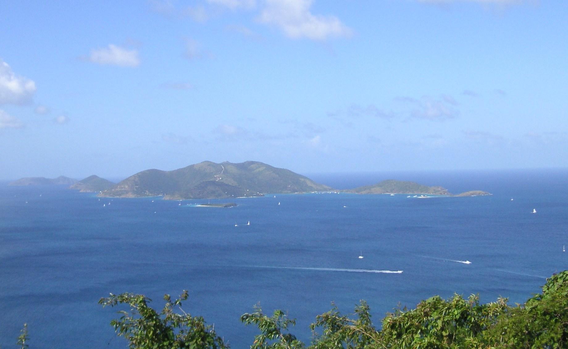
Jost Van Dyke
Jost Van Dyke is a small British Virgin Island where beach life, boats and an informal dining culture shape the visitor’s day. Its appeal is best enjoyed slowly: choose a harbour, a beach and time for lunch rather than trying to rush through every bay.
Get to know the place
Tortola
Tortola is the largest island in the British Virgin Islands, with steep wooded hills rising above harbours and beach villages. A visit can combine the capital, Road Town, with mountain walks, sugar-industry history and a slower coastal stay.
Get to know the place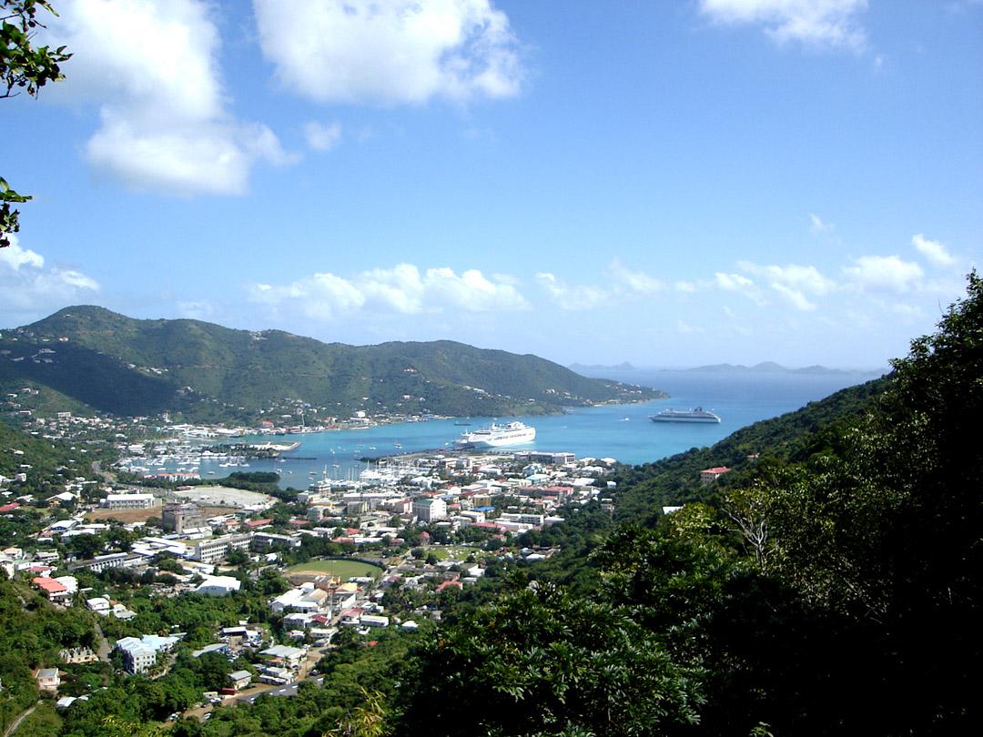
Road Town
Road Town is the capital of the British Virgin Islands and Tortola’s main urban harbour. It rewards a pause between sailings: historic Main Street, a botanical garden and the busy waterfront offer a different experience from the island’s beach villages.
Get to know the place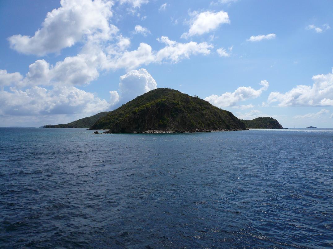
Peter Island
Peter Island is a private island in the British Virgin Islands whose visitor experience centres on its resort, beaches and yacht facilities. It is a place for a deliberately organised island stay or day visit, with shore access and amenities matched to the booking you choose.
Get to know the placePhoto credits4
- Depicts: Jost Van DykeJost van Dyke. Author: Legis auf English Wikipedia. Credit: Legis. License: Public domain (https://creativecommons.org/publicdomain/mark/1.0/). Source: https://commons.wikimedia.org/wiki/File:Jost_van_Dyke.jpg
- Depicts: Tortola
- Depicts: Road TownRoadtown, Tortola. Author: Photo: Henry A-W ( Henry aw 23:34, 10 July 2006 (UTC)). Credit: en:Image:Roadtown, Tortola.jpg. License: CC BY-SA 3.0 (https://creativecommons.org/licenses/by-sa/3.0/). Source: https://commons.wikimedia.org/wiki/File:Roadtown,_Tortola.jpgCropped to fit the display.
- Depicts: Peter IslandPeter Island, BVI. Author: -- Legis ( talk - contribs ). Credit: Own work ( Original text: self-made ). License: Public domain (https://creativecommons.org/publicdomain/mark/1.0/). Source: https://commons.wikimedia.org/wiki/File:Peter_Island,_BVI.jpg
