
Bandırma.
Bandırma combines a working Marmara port with a useful city base for archaeology and birdwatching. Its museum brings together finds from Daskyleion, Kyzikos and the surrounding region. Beyond the city, Kuşcenneti National Park offers a different day among lake, reeds and bird habitat.
Photo credits1
- Depicts: BandırmaCumhuriyet Meydanı–IMG 6306. Author: Kızıl. Credit: Own work. License: CC BY-SA 4.0 (https://creativecommons.org/licenses/by-sa/4.0). Source: https://commons.wikimedia.org/wiki/File:Cumhuriyet_Meydan%C4%B1%E2%80%93IMG_6306.jpgCropped to fit the display.
Make your way to Bandırma
Choose a tool and your dates to check the options for your trip.
More ways to explore
- Country
- Türkiye
- Currency
- TRY
- Time zone
- Europe/Istanbul
Bandırma combines a working Marmara port with a useful city base for archaeology and birdwatching. Its museum brings together finds from Daskyleion, Kyzikos and the surrounding region. Beyond the city, Kuşcenneti National Park offers a different day among lake, reeds and bird habitat.
Keep the city, the actual passenger terminal and the wider Kapıdağ peninsula separate when planning. An Erdek beach visit or lake excursion needs a road journey. A short stop between ferry and onward transport can still include a town walk and museum, with enough time to collect bags.
When to go
Spring and autumn can suit wetland observation, while a summer visit can combine the city with a separate beach day. Birds and viewing conditions change through the year; no visit guarantees a species sighting. Take layers for the exposed shore and allow an indoor museum alternative. Check local conditions before travelling to the park.
Getting there
The regional tourism authority identifies Bandırma's sea connection with Istanbul and points travellers to İDO. Select the actual operating date, Istanbul landing and passenger or vehicle product with the operator. Do not copy a historic journey time into a tight connection. A flight to the wider region still requires a separate onward road or sea journey.
Getting around
Combine a manageable city walk with current local transport to the museum or your accommodation. For Kuşcenneti, arrange the outward and return road journey and check visitor access. Erdek is another destination, not another name for the Bandırma landing. If continuing by bus or rail, verify the current departure location and usable connection separately.
Local food
Try the wider Balıkesir combination of fish, olive-oil dishes and regional cheeses. Ask which preparation is available that day and how a fish order is charged. A simple city meal can fit between transport legs; a longer waterfront dinner suits an overnight stop. Check the actual menu and return route before committing to a distant restaurant.
What to see
Begin at Bandırma Museum in Paşabayır for objects from the region's archaeological sites. The current Ministry listing marks the museum open daily; check the day's admission arrangements before leaving. Kuşcenneti is a separate protected wetland outing, with an observation tower described by the tourism authority. Bring binoculars if you have them and avoid disturbing birds.
Towns and neighbourhoods
Choose the actual waterfront or central address for a city stay rather than a general Bandırma district marker. The museum's Paşabayır address and a ferry terminal are different meeting points. Erdek and the Kapıdağ settlements make another part of the trip, while the lake lies inland. Group places by their real road route instead of circling between them.
Coast and outdoors
Use Bandırma as a departure base for a selected coastal outing rather than treating the working port as a swimming area. The tourism authority identifies beaches around Erdek, Ocaklar and Narlı on Kapıdağ. Choose one, arrange road transport and assess that day's sea conditions. An excursion should leave a realistic margin before an onward ferry.
Where to stay
A central or waterfront property can suit a short city stop, provided its actual access works with your terminal and bags. An Erdek coastal room gives a different holiday setting and another transfer. For a wetland visit, choose accommodation by road access and meals; do not assume there is lodging or food service inside the national park.
Useful before you go
Store the exact passenger-terminal name, hotel address and onward transport details offline. Keep working-port areas separate from public walking space. Bring water for the wetland outing and follow protected-area instructions. Leave flexibility for wind affecting a sea journey and avoid planning a distant excursion around the last feasible onward departure.
Good to know before you go
What does Bandırma Museum contain?
The Ministry describes archaeological finds from Daskyleion, Kyzikos and the surrounding area.
Is Kuşcenneti a waterfront walk in Bandırma?
It is a separate lake and national-park excursion requiring its own road journey.
Can I treat the port as a beach?
Choose an actual public beach elsewhere; the working port is a different environment.
Does a historic ferry time guarantee my connection?
Use the operator’s current date, landing and product, with a realistic onward margin.
Sources & references
These references support the guide. Confirm opening hours, access and travel services before you go.
- 01Regional tourism authority — Bandırma city and regional geography
- 02Ministry of Culture — Bandırma Museum collection and current opening status
- 03Regional tourism authority — Kuşcenneti wetland, observation and visitor facilities
- 04Regional tourism authority — Bandırma sea connection and official operator reference
- 05Regional tourism authority — distinct Kapıdağ coastal outings
- 06GoTürkiye — regional Balıkesir cuisine
Where could the journey go next?
More guides in Türkiye. Compare the places and check actual connections before combining stops.
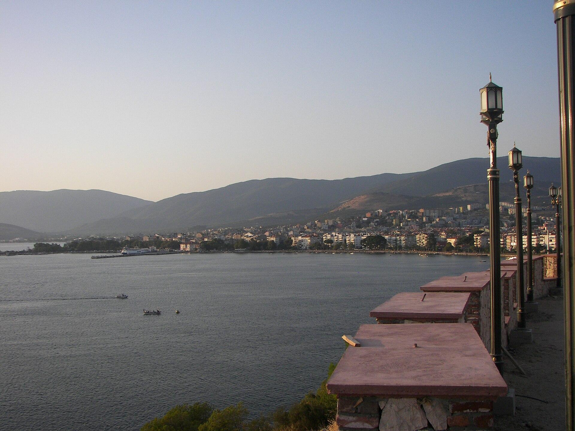
Erdek
Erdek is a mainland coastal town on the Kapıdağ peninsula, with a seafront for leisurely walks and a wider landscape of beaches, olive groves and ancient Kyzikos. Zeytinli Ada provides a small offshore landmark visible from the town's waterfront. Start with the town, then choose one longer coastal or heritage outing.
Get to know the placeErdek district overview — Erdek townNarlı
Narlı is a mainland coastal settlement on the Kapıdağ peninsula in Erdek district. The regional tourism authority includes it among the area's sandy coastal places, making it an option for a quieter shore-based day or stay. Plan around the actual village and selected beach rather than the whole peninsula at once.
Get to know the place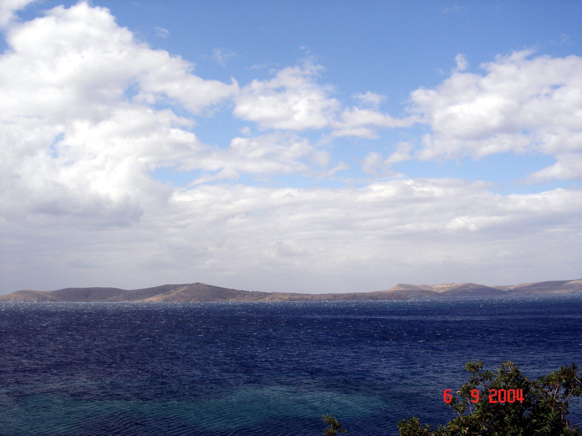 Paşalimanı Island overview
Balıklı (Paşalimanı Island)
Balıklı is a village and ferry landing on Paşalimanı Island in the Sea of Marmara. A stay here suits a slower combination of village lanes, selected shoreline and journeys to other island settlements. The approach is maritime: a district address in Erdek does not put Balıklı on the mainland road network.
Get to know the place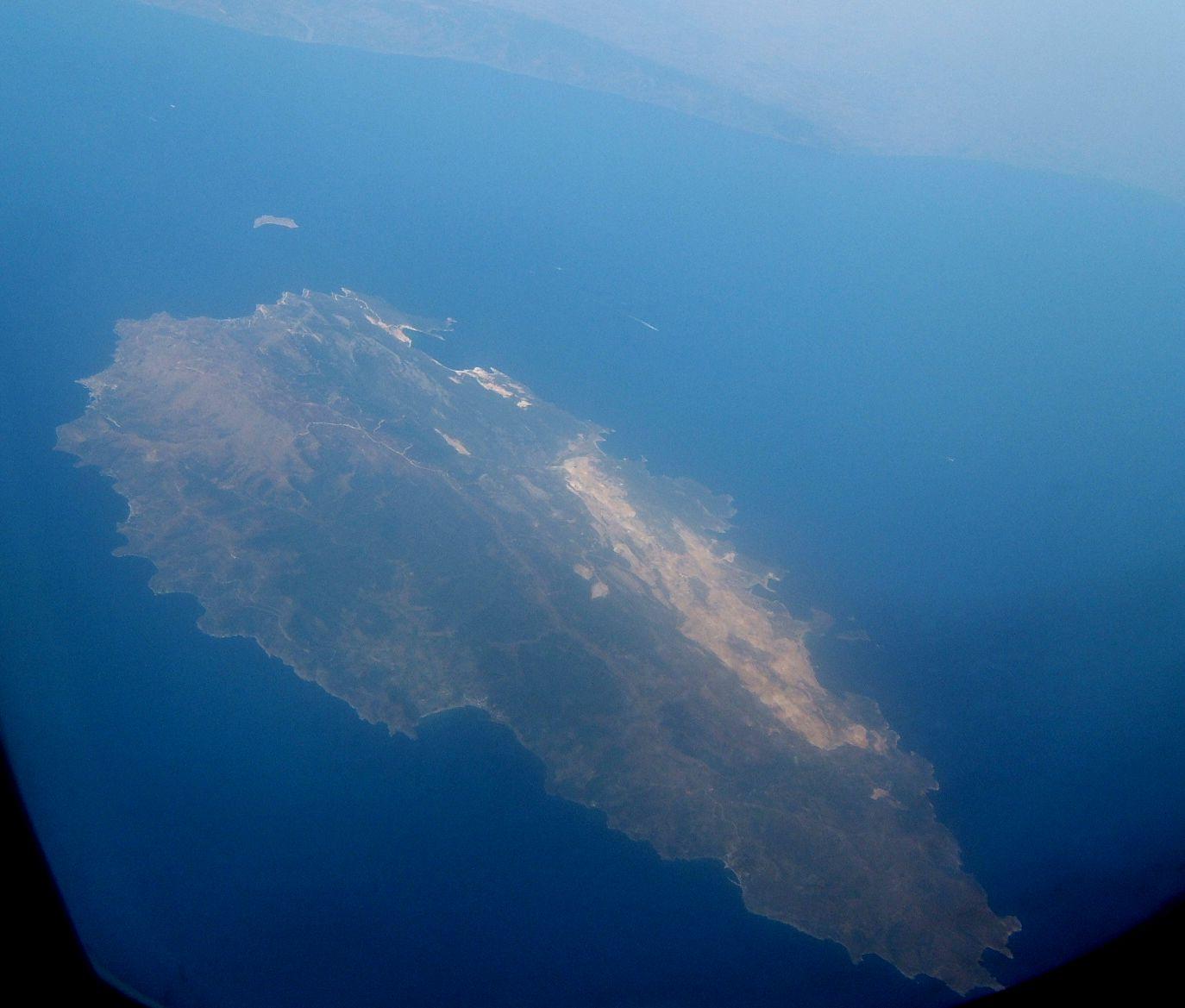
Marmara Adası
Marmara Island combines a living marble-working landscape with coastal settlements and a mountainous interior. Its stone linked it to ancient building programmes far beyond the Sea of Marmara, while a modern stay can mix town time, a selected shore and a visit towards Saraylar.
Get to know the placePhoto credits3
- Depicts: ErdekErdek. Author: Ozgur1000. Credit: Own work. License: CC BY-SA 3.0 (https://creativecommons.org/licenses/by-sa/3.0). Source: https://commons.wikimedia.org/wiki/File:Erdek.jpgCropped to fit the display.
- Area image: Paşalimanı Island — Paşalimanı Island overviewPasalimani. Author: -- Erk 00:41, 13 Haziran 2007 (UTC). Credit: -- Erk 00:41, 13 Haziran 2007 (UTC). License: CC BY-SA 3.0 (https://creativecommons.org/licenses/by-sa/3.0). Source: https://commons.wikimedia.org/wiki/File:Pasalimani.JPGCropped to fit the display.
- Depicts: Marmara AdasıMarmara Island aerial view. Author: Toksave. Credit: Own work. License: CC BY-SA 3.0 (https://creativecommons.org/licenses/by-sa/3.0). Source: https://commons.wikimedia.org/wiki/File:Marmara_Island_aerial_view.jpgCropped to fit the display.
