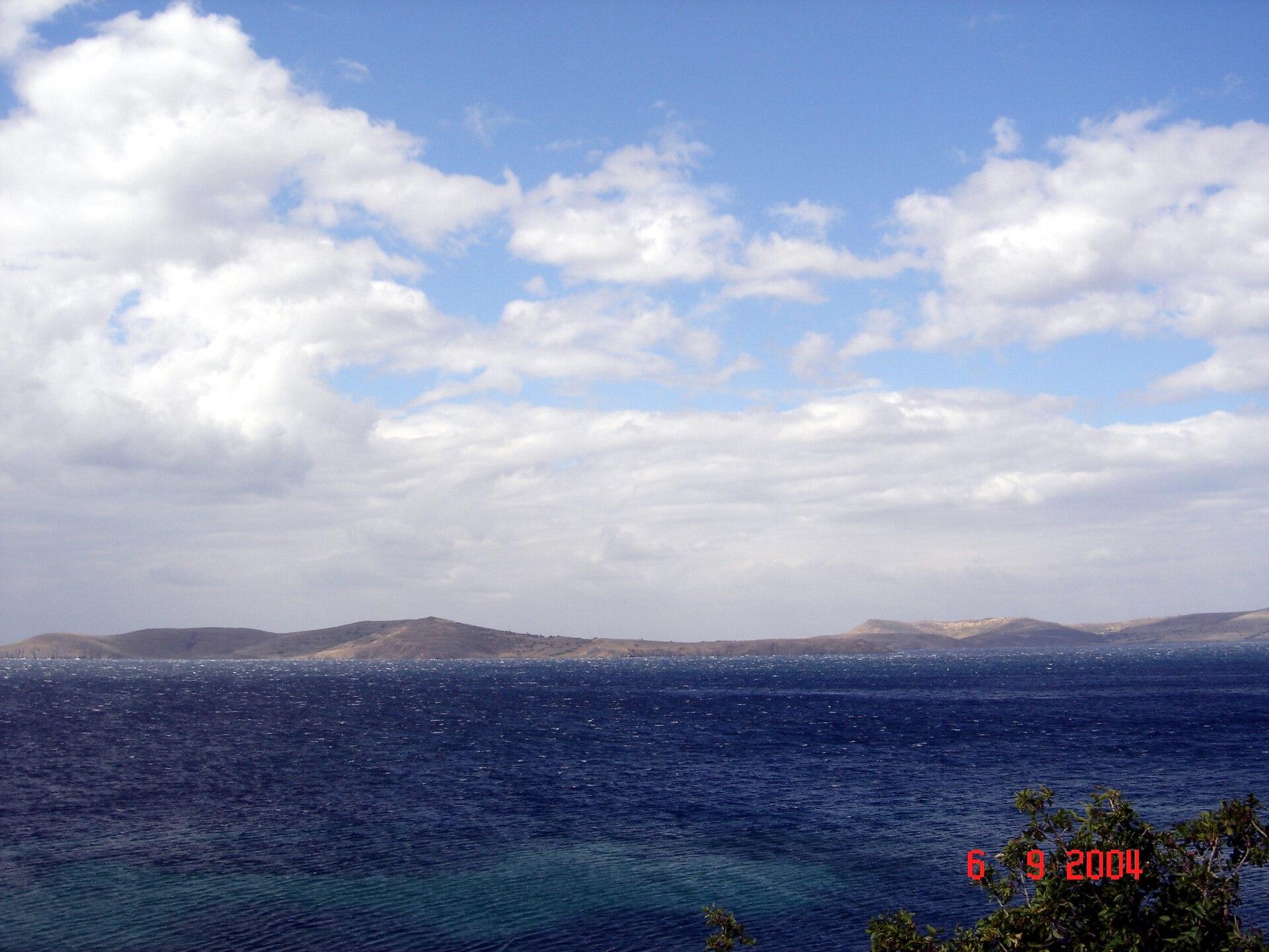
Balıklı (Paşalimanı Island).
Balıklı is a village and ferry landing on Paşalimanı Island in the Sea of Marmara. A stay here suits a slower combination of village lanes, selected shoreline and journeys to other island settlements. The approach is maritime: a district address in Erdek does not put Balıklı on the mainland road network.
Photo credits1
- Area image: Paşalimanı Island — Paşalimanı Island overviewPasalimani. Author: -- Erk 00:41, 13 Haziran 2007 (UTC). Credit: -- Erk 00:41, 13 Haziran 2007 (UTC). License: CC BY-SA 3.0 (https://creativecommons.org/licenses/by-sa/3.0). Source: https://commons.wikimedia.org/wiki/File:Pasalimani.JPGCropped to fit the display.
Make your way to Balıklı (Paşalimanı Island)
Choose a tool and your dates to check the options for your trip.
More ways to explore
- Country
- Türkiye
- Currency
- TRY
- Time zone
- Europe/Istanbul
Balıklı is a village and ferry landing on Paşalimanı Island in the Sea of Marmara. A stay here suits a slower combination of village lanes, selected shoreline and journeys to other island settlements. The approach is maritime: a district address in Erdek does not put Balıklı on the mainland road network.
Keep Balıklı, the island of Paşalimanı and the separately named Paşalimanı village distinct. Harmanlı, Poyrazlı and Tuzla are other island settlements. Marmara Island, Avşa and Ekinlik are separate islands, even when one regional ferry programme lists them together.
When to go
A shore-focused summer stay and a cooler village visit require different plans. Use daylight for an unfamiliar settlement route and allow for wind affecting sea connections. Accommodation, meals and local transport need individual confirmation outside the busiest period. Build the day around a usable return sailing instead of making the last possible crossing the only workable option.
Getting there
Gestaş names Paşalimanı/Balıklı separately in its Erdek–Avşa–Marmara–Paşalimanı–Ekinlik programme. Check the exact direction, date and calls: a route heading is not a promise that every departure serves every island. An arrival in mainland Erdek still needs the sea leg. Tell your host which landing and departure you actually intend to use.
Getting around
Walk within the village where the actual route suits you, and arrange current local transport before attempting other settlements. Check the road, pickup and return rather than assuming a frequent circular bus. Moving to another Marmara island requires another sea connection. A common regional transport map does not supply a road between the islands.
Local food
Table olives and olive oil belong to the wider Erdek area's food economy, alongside the fish and cheeses described in Balıkesir's regional cuisine. Ask what is locally available and compare preparations rather than expecting every regional speciality on one small-island menu. Confirm evening food arrangements with your host, especially outside the main holiday period.
What to see
Explore the village setting first, then choose a confirmed heritage or settlement outing. The Ministry's conservation board registered monastery remains in Balıklı in 2021. This establishes protected heritage, not a staffed museum or guaranteed visitor access. Ask locally about the site and lawful approach, and keep away from unstable remains or enclosed private land.
Towns and neighbourhoods
Balıklı is one of the island's five separately named settlements alongside Harmanlı, Paşalimanı, Poyrazlı and Tuzla. Plan a specific outward and return route before combining them. A room labelled simply Paşalimanı may be elsewhere on the island. Save both the village and property address, particularly when arranging a meeting at Balıklı's ferry landing.
Coast and outdoors
Choose a real public shore entrance rather than following a generic island marker. Check sea conditions, the surface underfoot and the distance back to your room or pickup. Bring water and sun protection if facilities are uncertain. Keep bathing clear of the ferry approach, and leave time to retrieve luggage before a mainland connection.
Where to stay
A Balıklı address makes sense if its particular landing and village fit your journey. Other island villages offer different settings and require their own transfer. Ask about luggage access, reception and food before confirming. A mainland Erdek stay is a different choice with a ferry trip attached to each visit, rather than a substitute room within walking distance.
Useful before you go
Store the full island-and-village address, host directions and return programme offline. Respect homes, cultivated land and protected remains. Check the actual embarkation arrangements locally, since an old infrastructure report does not establish the current boarding point or works status. Keep a margin for a changed crossing before an onward airport or long road journey.
Good to know before you go
Is Balıklı on the mainland beside Erdek?
This guide covers Balıklı on Paşalimanı Island. The Erdek district address still requires a sea crossing.
Are Balıklı and Paşalimanı village the same stop?
They are separately named island settlements. Use the exact village, landing and accommodation address.
Is the protected monastery an open museum?
The conservation registration does not establish a staffed visitor facility. Check lawful access locally.
Does every regional island sailing stop here?
Read the actual date, direction and stopping pattern for Paşalimanı/Balıklı.
Sources & references
These references support the guide. Confirm opening hours, access and travel services before you go.
- 01Erdek district governorate — Balıklı and the five island settlements
- 02Erdek municipality — separately listed neighbourhoods
- 03Ministry conservation board — 22 October 2021 registration of Balıklı monastery remains
- 04Gestaş — Paşalimanı/Balıklı and separate regional island calls
- 05GoTürkiye — wider Balıkesir food traditions
Where could the journey go next?
More guides in Türkiye. Compare the places and check actual connections before combining stops.
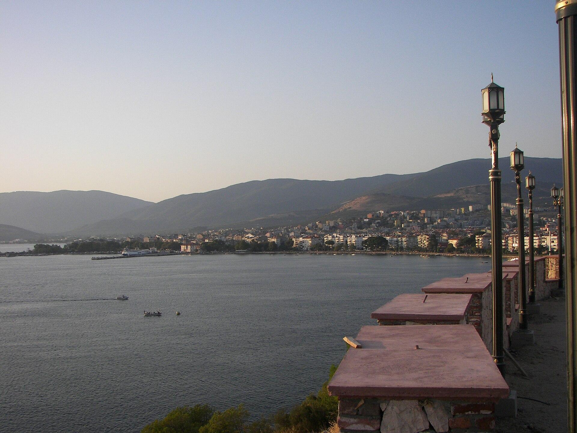 Erdek district overview — Erdek town
Narlı
Narlı is a mainland coastal settlement on the Kapıdağ peninsula in Erdek district. The regional tourism authority includes it among the area's sandy coastal places, making it an option for a quieter shore-based day or stay. Plan around the actual village and selected beach rather than the whole peninsula at once.
Get to know the place
Avşa
Avşa, also known as Türkeli, is a holiday island in the Sea of Marmara with beaches, vineyards and different coastal neighbourhoods. Choose time in the settlement and a selected bay rather than assuming every shore is beside the ferry or that the whole island has one uniform holiday setting.
Get to know the place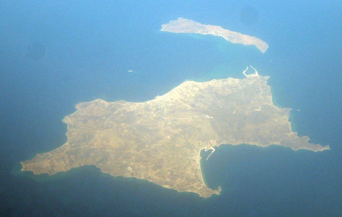 Sea of Marmara regional overview — Avşa Island
Ekinlik Island
Ekinlik is a small, inhabited island in the Sea of Marmara where village life and the shoreline shape a stay. Its community association reports local cultural gatherings, a bookshop and shared public spaces. Allow time for a waterfront walk and an unhurried meal rather than approaching it as a resort with a long list of ticketed attractions.
Get to know the placeErdek
Erdek is a mainland coastal town on the Kapıdağ peninsula, with a seafront for leisurely walks and a wider landscape of beaches, olive groves and ancient Kyzikos. Zeytinli Ada provides a small offshore landmark visible from the town's waterfront. Start with the town, then choose one longer coastal or heritage outing.
Get to know the placePhoto credits3
- Area image: Erdek town, in Erdek districtErdek. Author: Ozgur1000. Credit: Own work. License: CC BY-SA 3.0 (https://creativecommons.org/licenses/by-sa/3.0). Source: https://commons.wikimedia.org/wiki/File:Erdek.jpgCropped to fit the display.
- Depicts: AvşaAVŞA - panoramio. Author: Avşa. Credit: https://web.archive.org/web/20161022000328/http://www.panoramio.com/photo/57212837. License: CC BY 3.0 (https://creativecommons.org/licenses/by/3.0). Source: https://commons.wikimedia.org/wiki/File:AV%C5%9EA_-_panoramio.jpgCropped to fit the display.
- Area image: Avşa Island in the Sea of MarmaraAvsa island aerial view. Author: Toksave. Credit: Own work. License: CC BY-SA 3.0 (https://creativecommons.org/licenses/by-sa/3.0). Source: https://commons.wikimedia.org/wiki/File:Avsa_island_aerial_view.jpgCropped to fit the display.
