
Thailand.
Thailand rewards a route built around its different landscapes: Bangkok and the central plains, northern mountain towns, the northeast plateau, and islands on two seas. A temple-and-food trip through the mainland feels quite different from several days based beside a southern beach. Choose the experiences first, then a manageable sequence of bases.
Photo credits1
A little closer to Thailand
Geography, regions and practical details from the country guide. Go straight to a chapter, or browse every destination below.
Go straight to the destinationsThailand rewards a route built around its different landscapes: Bangkok and the central plains, northern mountain towns, the northeast plateau, and islands on two seas. A temple-and-food trip through the mainland feels quite different from several days based beside a southern beach. Choose the experiences first, then a manageable sequence of bases.
For a ferry holiday, establish which coast and island group you mean before choosing accommodation. Phuket and Krabi face the Andaman Sea; Ko Samui belongs to the Gulf side, while Trat serves the eastern islands. These places do not form one short island-hopping circuit. Weather, land transfers and the precise departure pier matter as much as the crossing itself.
Two coasts and a varied mainland
The mountainous north gives way to central river plains and the northeastern plateau. The narrow southern peninsula separates the Andaman coast to the west from the Gulf of Thailand to the east. Bangkok is a useful city base, but a pin in the capital should not be treated as the starting pier for every island journey.
Choose a region before an island
Bangkok and Ayutthaya combine contemporary city life with historic sites; Sukhothai and Chiang Mai extend a mainland cultural itinerary northward. The northeast offers another set of cities, including Khon Kaen and Ubon Ratchathani. In the south, compare Phuket and Krabi with the Gulf islands; in the east, look separately at Trat and Ko Chang. Avoid moving coast every couple of nights.
Names and addresses
Thai is the official language. English is useful in many visitor-facing businesses, but availability varies outside major tourism centres. Save your accommodation address in Thai as well as English. Keep the operator’s precise pier name with the ticket instead of relying only on an island name or a loosely translated map result.
Paying in baht
The currency is the Thai baht, THB, divided into 100 satang. Keep some local cash for small purchases, while checking payment methods before committing to a transfer or remote stay. Ask whether the quoted accommodation total includes meals, boats and other charges; a room price alone may not describe the cost of reaching an island.
Temples and everyday courtesy
Temples are religious spaces as well as visitor attractions. Cover shoulders and knees, remove footwear where required, and follow the site’s photography instructions. Make time to look at a temple beyond its best-known photo spot. When visiting communities, ask before photographing people and respect any invitation-only areas rather than assuming that every building is open to visitors.
Explore regional cooking
Northern khaosoi combines soft and crisp noodles with a coconut curry broth. Northeastern meals may include grilled chicken, sticky rice and somtam green-papaya salad. Southern cooking makes much of seafood and strong curry flavours; central dishes include pad Thai and tom yum. Fish sauce and shrimp paste occur in many preparations, so explain dietary requirements before ordering rather than judging ingredients from a dish’s appearance.
Match the season to the coast
The southwest monsoon generally brings wetter conditions from around mid-May to mid-October. The northeast monsoon can make northern areas cooler and drier while bringing rain to the southeastern Gulf coast into December. These are broad patterns, not a sailing forecast. A dry-season recommendation for Phuket should not automatically be applied to Ko Samui on the same dates.
Build the land and sea connection together
Check which components are included in a combined ticket. For example, Boonsiri describes services from Laem Sok to Ko Mak and Ko Kood, with certain land and resort transfers available. An island name does not specify a mainland departure point. Compare the airport, town pickup, pier check-in and final accommodation transfer as separate stages; keep space before an onward flight.
Marine parks and island days
Marine national parks may close seasonally or control entry. Check the relevant park and operator before planning a dive or boat excursion; an island hotel being open does not prove every nearby attraction is accessible. Andaman trips can still encounter rain and rough water during the seasonal transition. Leave coral untouched and accept weather-related changes to an excursion.
Entry paperwork
Use the official Thai e-Visa site to check eligibility for your passport and planned stay. The free Thailand Digital Arrival Card is a separate arrival requirement: submit it within the three-day window including arrival day, following the immigration instructions. It does not replace a required visa. Keep your accommodation address and arrival details ready, and review exceptions on the official site.
Good to know before you go
Is there one best season for every Thai island?
No. The Andaman and southeastern Gulf coasts have different monsoon patterns. Choose your island group first, then review local conditions for the dates.
Is the TDAC a paid visa?
No. The official TDAC is a free arrival form. Visa eligibility and any visa application are separate matters.
Can I book a ferry using only the island name?
Confirm the exact mainland pier, arrival pier and any included transfers. A boat ticket may not cover the complete journey from your airport or hotel.
Should I combine Bangkok, the north and several island groups in a short visit?
A smaller number of bases leaves more time for each place. Mainland cultural routes and coast-to-coast island travel involve distinct journeys; plan the transfers before booking every night.
What should I wear to temples?
Choose clothing covering shoulders and knees, and follow local rules on footwear and photography at each temple.
Sources & references
These references support the guide. Confirm opening hours, access and travel services before you go.
- 01Government of Thailand — geography
- 02Tourism Authority of Thailand — regions
- 03Tourism Authority of Thailand — language
- 04Government of Thailand — currency
- 05Thailand 2026 Annual Meetings — visitor etiquette
- 06Tourism Authority of Thailand — regional cuisine
- 07Thai Meteorological Department via Thailand government — monsoons
- 08Tourism Authority of Thailand — Andaman reopening, 20 October 2026
- 09Boonsiri — published routes
- 10Ministry of Foreign Affairs — official Thai e-Visa
- 11Thai Immigration Bureau — TDAC FAQ
- 12Tourism Authority of Thailand France — mainland cultural itinerary
Find your place in Thailand
Open the guides, get a feel for the differences between places, and find the ones that fit your plans.
 Area near Ao Nam Mao
Ao Nam Mao
Ao Nam Mao is a useful mainland base on the Krabi coast: boats connect with East Railay, while roads lead to Ao Nang, Krabi Town and the airport. The village waterfront belongs to a transport-and-local-life stop, with a different rhythm from the busier resort strip.
Read the field guide
Ao Nang / Nopparat Thara
Nopparat Thara is the broad, tree-backed stretch of coast beside Ao Nang, with a distinct pier serving island journeys. Casuarinas, shell-flecked sand and a shoreline that changes noticeably with the tide give it a different feel from the busier central beach. It works as both a coastal stay and an arrival area.
Read the field guide
Ao Nang
Ao Nang is Krabi’s coastal base for longtail trips to Railay, Phra Nang and nearby islands. Restaurants, dive shops and souvenir stores line the beach road, while limestone slopes rise behind the resort area. Stay here when you want several different days out without moving your luggage to a new island each morning.
Read the field guide Area near Chumphon / Lomprayah Pier
Chumphon / Lomprayah Pier
The Chumphon Lomprayah stop is Thung Makham Noi Pier in Hat Sai Ri subdistrict, not Chumphon railway station or the airport. It is a mainland gateway for the Gulf islands, especially Koh Tao. Keep the road connection and the boat departure as distinct parts of the journey.
Read the field guide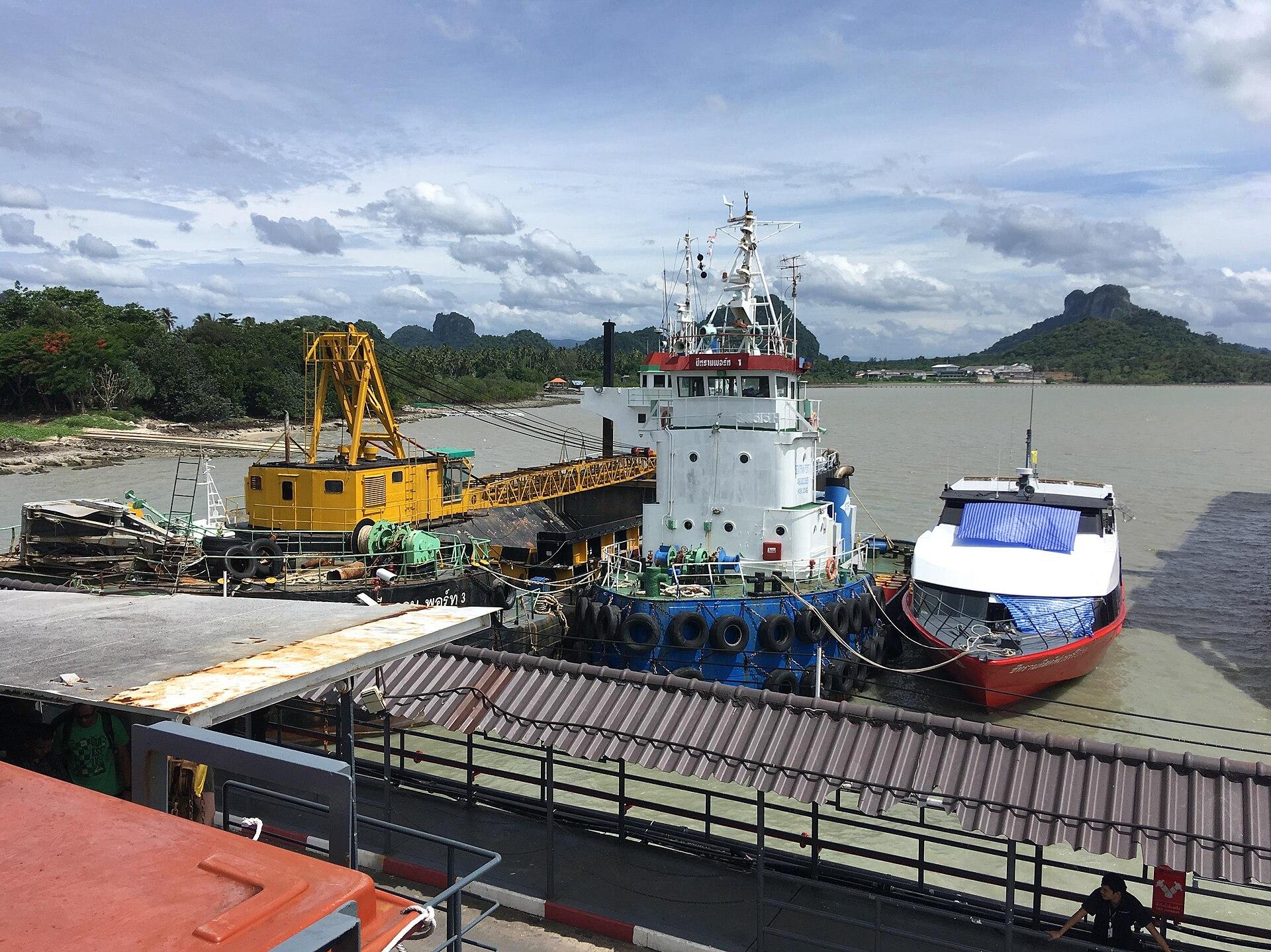
Donsak
Donsak is a mainland Surat Thani district and a practical ferry gateway to the Gulf islands, not an island beach resort itself. Its different ferry facilities serve different journeys; the carrier and terminal printed on a ticket matter more than the general place name.
Read the field guide
East Railay
East Railay is the arrival-facing side of a limestone peninsula, with a tidal shore, boat movements and paths into the small resort settlement. It is a useful place to sleep and organise activities even when your beach time is spent on the western side. Railay belongs to the mainland geographically, but visitors arrive by boat.
Read the field guide Khlong Yai district overview — Mai Rood coast
Hat Lek / Trat mainland
Hat Lek is a mainland border locality in Khlong Yai district, at the southeastern end of Trat’s narrow coastal corridor. It is known for the crossing towards Cambodia’s Koh Kong area and the trade that grew around it. It is not the same place as Laem Sok, the mainland ferry gateway farther northwest.
Read the field guide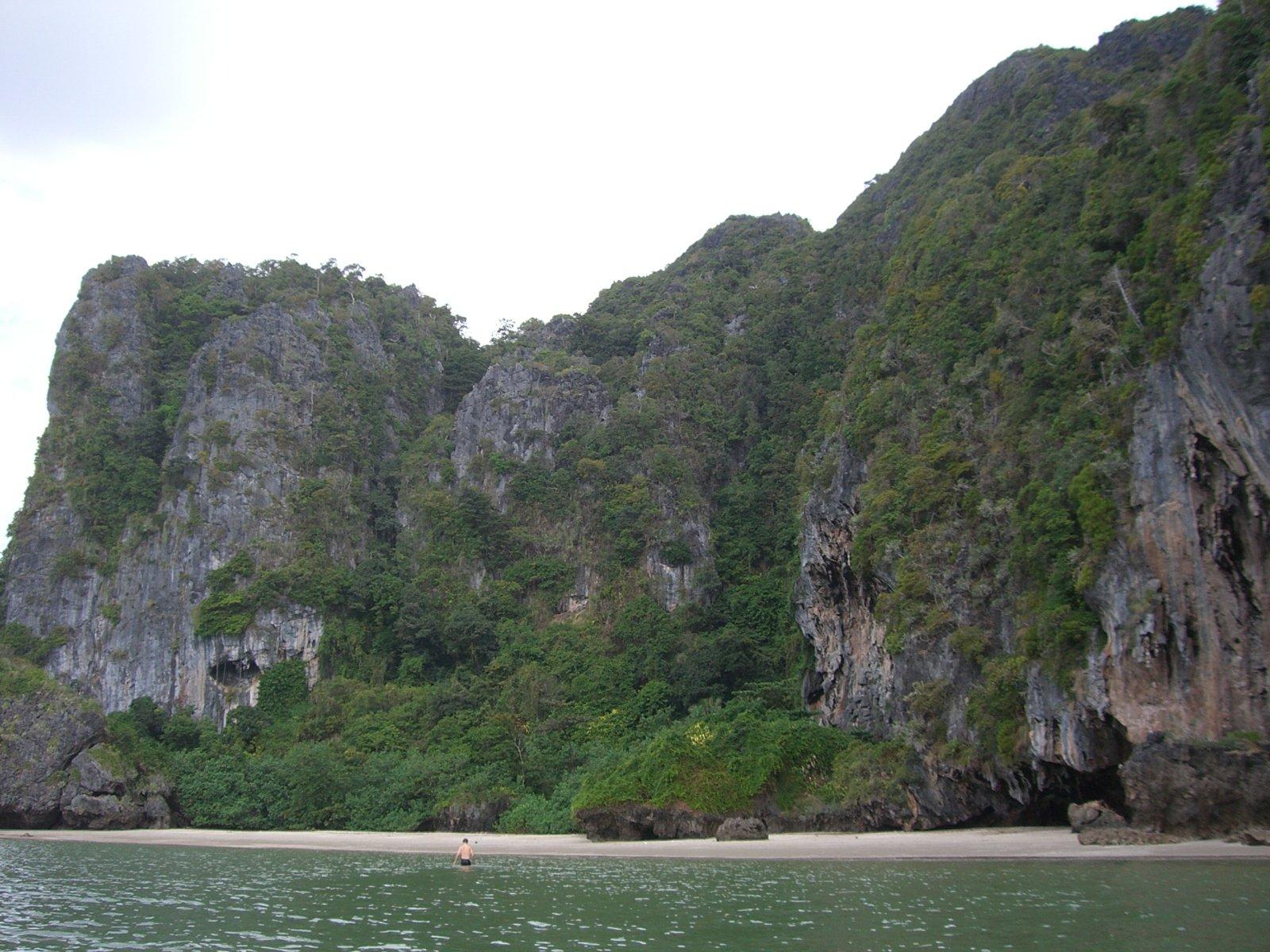 Area near Hat Yao Pier (Trang)
Hat Yao Pier (Trang)
Hat Yao Pier is a mainland departure point on the Trang coast, near the long beach of the same name in the Ban Chao Mai area. This guide covers the pier and a useful coastal stop before or after a crossing. It is distinct from Koh Libong, the island reached across the water, and from other Thai beaches called Hat Yao.
Read the field guide Krabi Province overview
Ko Lanta Yai / Saladan
Ko Lanta Yai is a long Andaman island for beach stays, village outings and national-park scenery. Saladan, at its northern end, is an arrival and service centre rather than the whole island. After landing, your hotel may still be a substantial road journey away along the west coast.
Read the field guide Phang Nga Bay overview
Ko Yao Noi / Manoh
Ko Yao Noi is a rural island in Phang Nga Bay, with fishing communities, cultivated land and views towards limestone islands. Manoh is one of its arrival piers, not the whole destination. After landing, continue to your chosen village, homestay or coastal accommodation rather than expecting every room to be beside the boat.
Read the field guide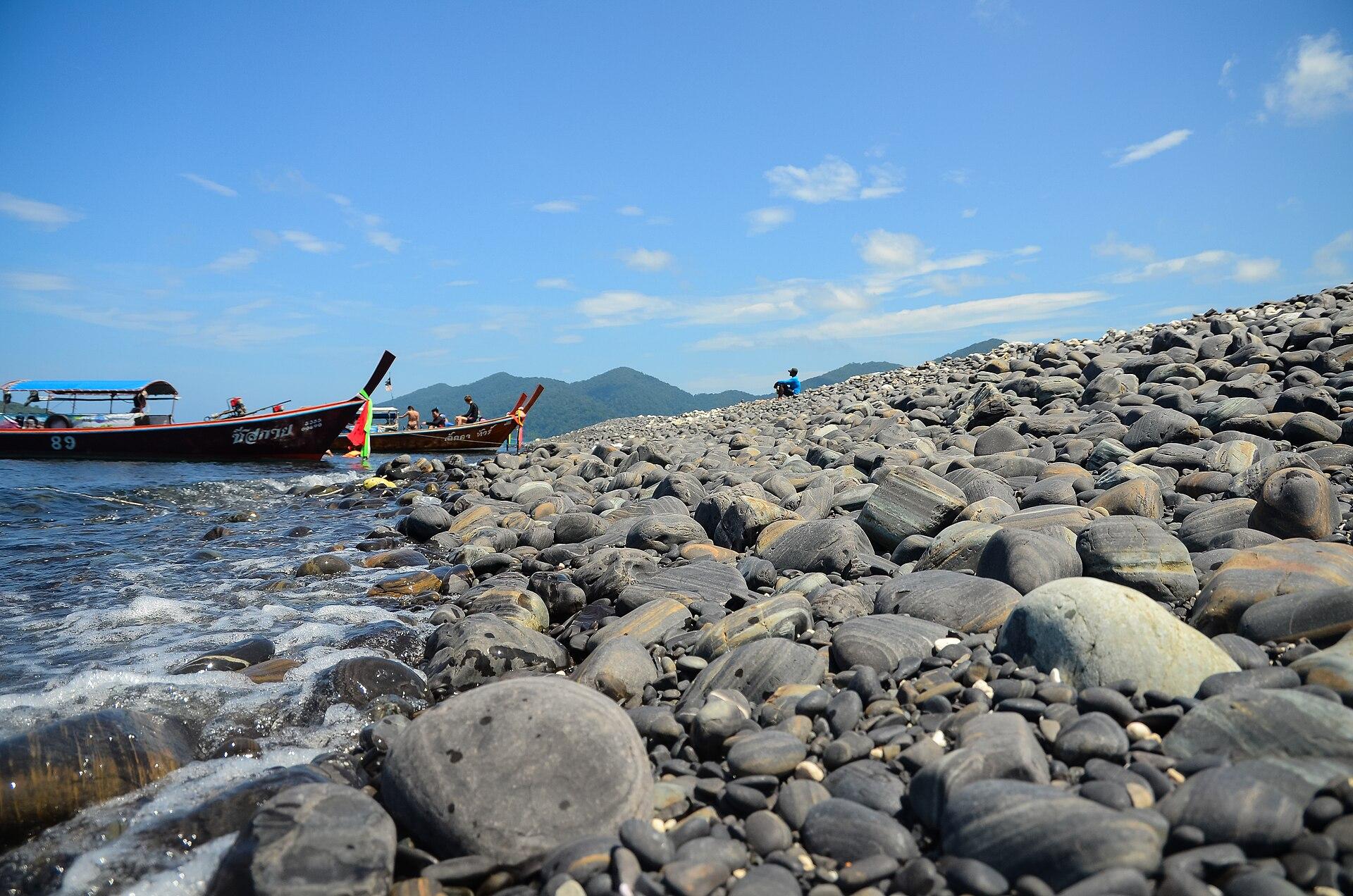 Satun province regional overview — Tarutao National Park
Koh Bulon Lae
Koh Bulon Lae, also written Bulon Le, is a small inhabited island off Satun with sandy eastern beaches, forest and a quiet bungalow scene. Its scale rewards unhurried walking and time by the water. The experience is quite different from a large resort town with roads, shopping streets and organised nightlife.
Read the field guide
Koh Chang
Koh Chang combines forested hills with a developed west coast and quieter fishing communities to the east. Its character changes substantially between White Sand Beach, Kai Bae and the mangrove bays: choose the area that suits your days rather than treating the whole island as one resort strip.
Read the field guide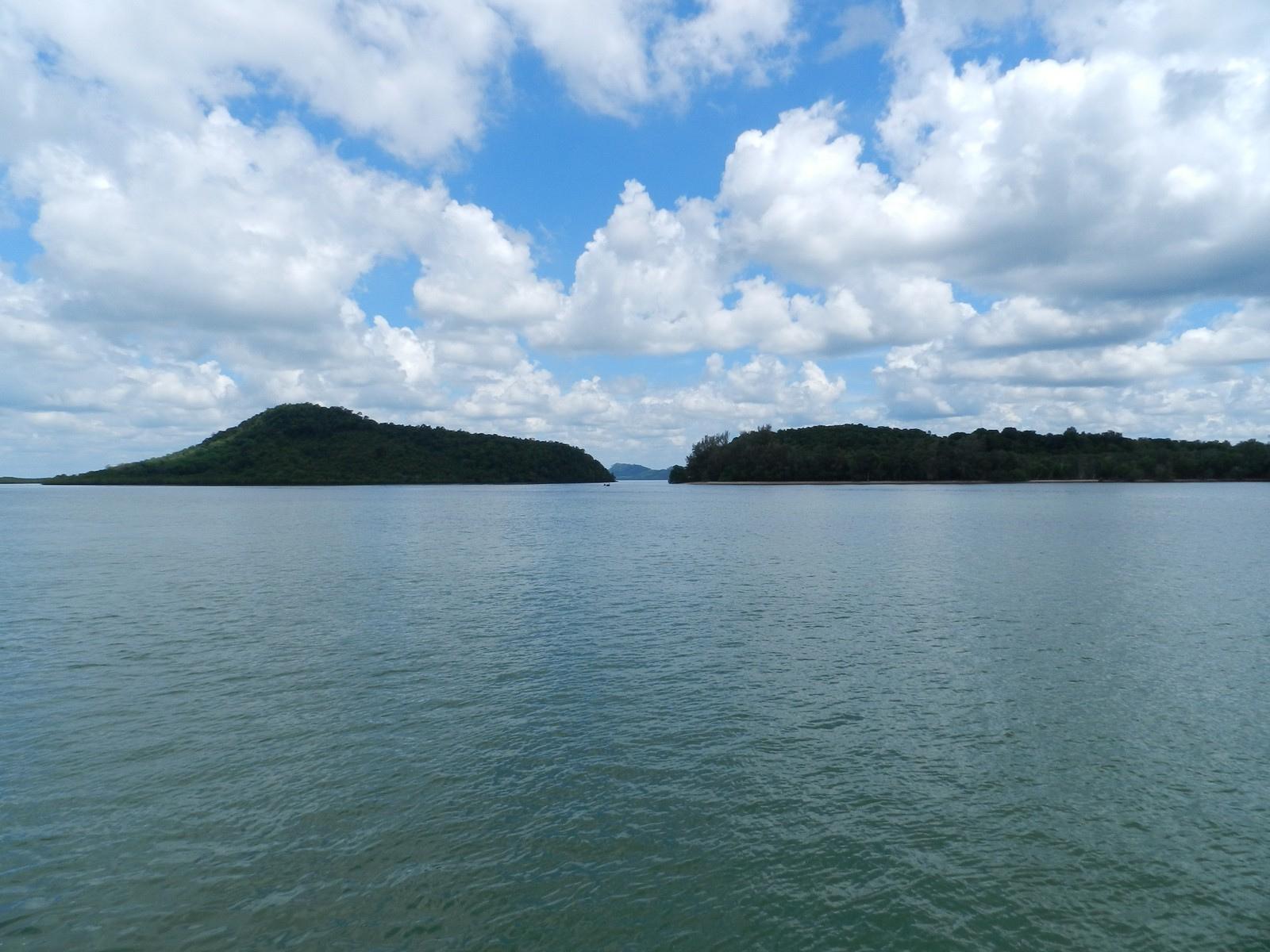
Koh Jum
Koh Jum is a village-based island between Krabi and Koh Lanta, where beach days share the landscape with fishing and rubber cultivation. The northern name Koh Pu refers to the same island’s hillier character. Come for a slower stay with time for a village meal, a coastal walk and a book beside the sea.
Read the field guide
Koh Kood (Koh Kut)
Koh Kood, also written Koh Kut, suits travellers who want beaches, forest and waterfalls rather than dense urban tourism. Its visitor areas are spread along the coast, so a single beach base can feel very different from an island-wide exploration. Leave time for the water and the wooded interior instead of trying to collect every bay in one day.
Read the field guide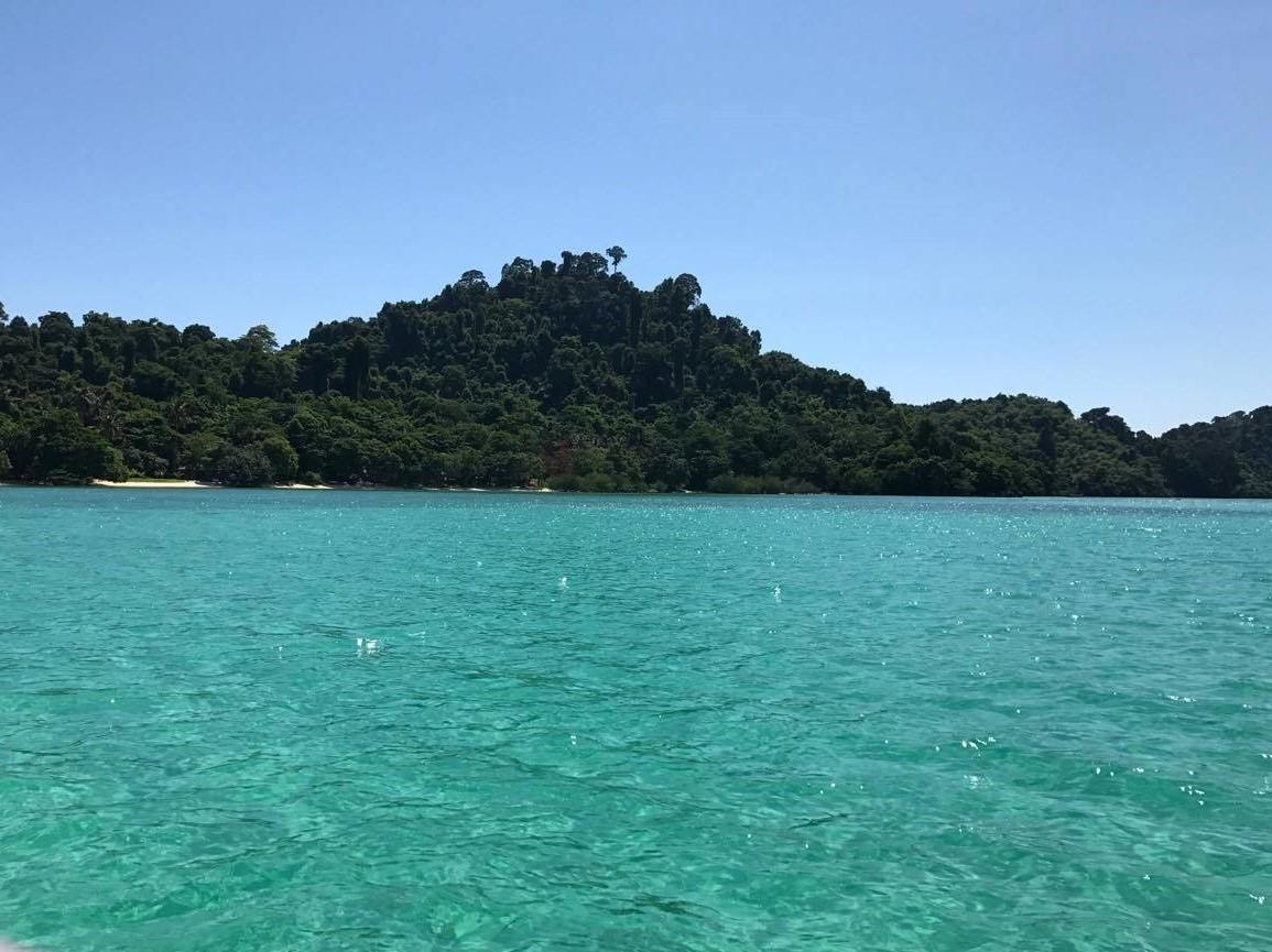
Koh Kradan
Koh Kradan is a small island off Trang where a long eastern beach, clear shallows and a forested interior shape the holiday. Accommodation sits close to the shore, and the beach becomes the main place to walk, eat and settle into the day. It is a good fit for a deliberately simple stay with time for the sea.
Read the field guide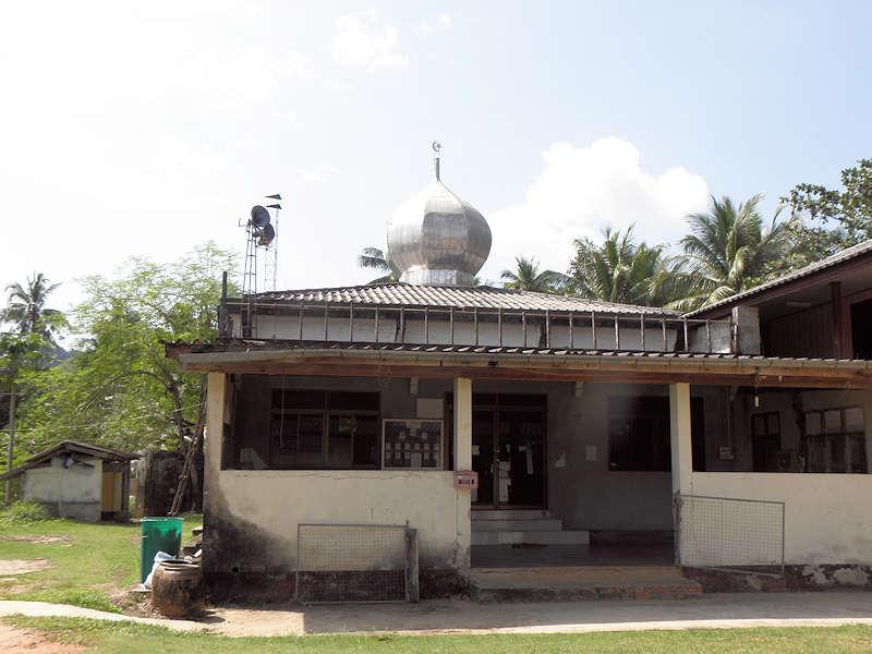
Koh Libong
Koh Libong is Trang’s largest island, with fishing settlements, rubber plantations, mangroves and shallow seagrass waters. Its character comes from that inhabited coastal landscape as much as from a beach. A visit suits travellers interested in village life, slow journeys and the habitat of the dugong.
Read the field guide
Koh Lipe
Koh Lipe is a small inhabited island in Satun’s southern Andaman archipelago, with beach accommodation, reef outings and a lively Walking Street. It is a base for visiting nearby islands, rather than a place where every attraction in Tarutao National Park can be reached on foot.
Read the field guide Koh Mak overview
Koh Mak / Ao Kao
Ao Kao is a beach-and-accommodation area on Koh Mak, with Makathanee’s concrete speedboat pier among its identifiable arrival points. This guide focuses on that local shore and the practical experience of staying nearby. The island-wide Koh Mak guide covers the broader landscape and excursions.
Read the field guideKoh Mak
Koh Mak is a small Trat island where coconut gardens, local homes and quiet roads sit between beach areas. Its community has promoted a less intensive form of tourism, with cycling and locally supplied food among the practical expressions of that approach. Come for a gentle rhythm and the chance to explore beyond your accommodation.
Read the field guide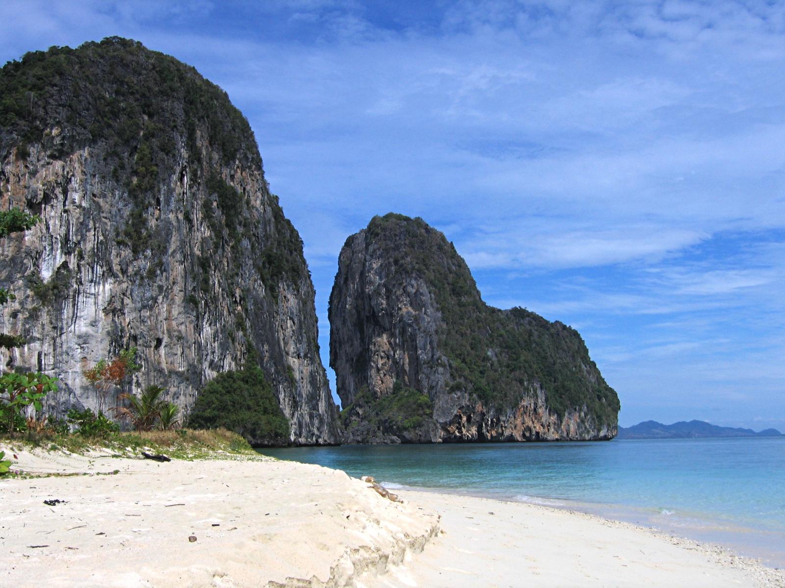 Trang province overview
Koh Muk / Koh Mook
Koh Muk, often written Koh Mook, combines a lived-in island community with the limestone scenery of Trang’s Andaman coast. Fishing, rubber growing and tourism sit alongside beaches and small accommodation businesses. Staying here gives time for the island itself, beyond the brief Emerald Cave stop on an excursion boat.
Read the field guide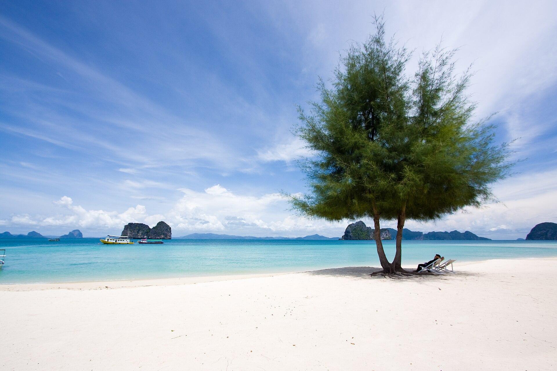
Koh Ngai
Koh Ngai, also called Koh Hai, is a small resort island with forest behind its eastern shore and boat access from the Trang coast. Although commonly included in Trang island itineraries, it belongs to the Krabi island setting. Its appeal is a slow beach stay, with reefs and nearby islands explored when conditions permit.
Read the field guide
Koh Phaluai
Koh Phaluai is an inhabited Gulf island of fishing communities, numbered bays and quiet coastal scenery near the Ang Thong island group. Its own villages and beaches deserve an unhurried stay rather than being reduced to a stop on a tour of neighbouring islands.
Read the field guide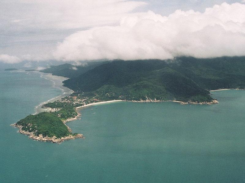
Koh Phangan
Koh Phangan offers several very different island holidays: beach evenings around Haad Rin, fishing life at Chalok Lam, forest and waterfalls near Than Sadet, or a quiet northeast stay at Thong Nai Pan. Choosing a coast matters more than the island’s party reputation.
Read the field guide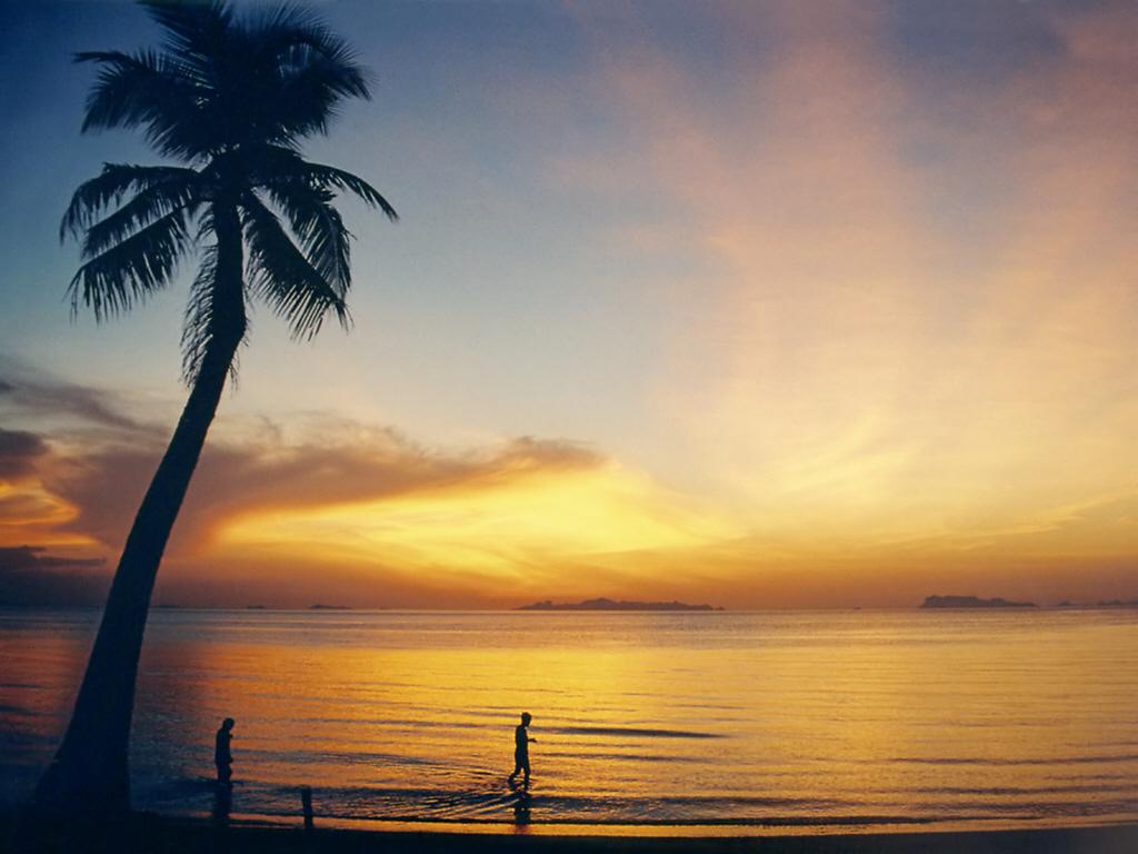
Koh Samui
Koh Samui combines long beach days with temple visits, old waterfront buildings and a broad choice of places to eat. Chaweng, Lamai, Bophut and the quieter western coast offer different stays, so begin by choosing the setting you want rather than treating the whole island as one resort strip.
Read the field guide
Koh Tao
Koh Tao is a small Gulf island whose days often revolve around diving, beach cafés and sunset on Sairee. You can also enjoy it without a dive course: choose a bay, visit a viewpoint and spend time by the water instead of trying to fit every coast into one afternoon.
Read the field guide
Koh Yao Yai
Koh Yao Yai is the larger of the two Yao islands in Phang Nga Bay. Forested hills, mangrove shores and fishing communities give it a different rhythm from Phuket’s busy resort districts. It is a destination for time on the island itself, with sea excursions added when conditions allow.
Read the field guideKrabi Town
Krabi Town is a working riverside centre whose markets, temple and boat traffic reward a pause between coastal journeys. It offers a different holiday rhythm from Ao Nang: an evening on Maharaj Walking Street, a look at Wat Kaew Korawaram, and time beside the river rather than a hotel directly on a swimming beach.
Read the field guideKrabi
Krabi is a province of mainland forests, limestone headlands, river communities and Andaman islands. It is larger than the town sharing its name. Ao Nang, Railay, Koh Lanta, Koh Jum and the Phi Phi islands offer markedly different bases, even though accommodation searches may place them all under Krabi.
Read the field guide Mueang Trat district overview
Laem Sok / Trat
Laem Sok is a mainland departure area in Trat, useful for the crossing to Koh Kood. It belongs to the Ao Yai area of Mueang Trat district; it is not an island resort or another name for Trat town. The ferry office, embarkation point and town accommodation need to be treated as separate stops.
Read the field guide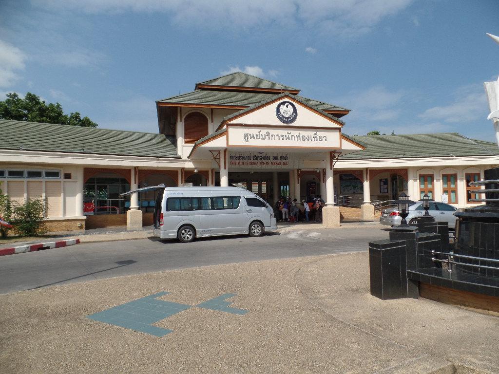
Pak Bara
Pak Bara is a mainland coastal base in La-ngu district, best known for boats toward Koh Lipe. It is worth separating the road transfer, company check-in and sea crossing in your plans. The island’s beaches and coral trips are onward experiences, not attractions inside this departure town.
Read the field guide Area near Phi Phi Don / Laem Tong
Phi Phi Don / Laem Tong
Laem Tong is a beach and accommodation area at the northern end of Phi Phi Don. It belongs to the same island as Tonsai, but staying here means a different arrival plan and a quieter, shore-centred rhythm. A ticket simply labelled Phi Phi may still leave an additional boat journey before you reach your room.
Read the field guide
Phi Phi Islands
The Phi Phi Islands combine inhabited Phi Phi Don with the protected limestone scenery of Phi Phi Leh and smaller offshore islands. Don holds the principal visitor village, accommodation and ferry arrivals; Leh holds Maya Bay. Choosing a hotel on Don and visiting Leh by boat are two different parts of the trip.
Read the field guide Phuket island overview
Phuket / Rassada
Rassada is a working ferry harbour in Phuket, useful when travelling to Phi Phi or other Andaman destinations. It is a specific terminal rather than a separate island or a beach resort. The most important part of a visit is reaching the correct operator with enough time for check-in and baggage.
Read the field guidePhuket
Phuket is a large Andaman island with contrasting places to visit: the old town and its Chinese-influenced streets, Buddhist sites, beaches and excursions on the surrounding sea. The best base depends on whether heritage, nightlife, a quieter resort or proximity to the northern airport matters most.
Read the field guidePhoto credits30
- Area image: Krabi, Thailand — Area near Ao Nam MaoRiver House (1447822640). Author: TANAKA Juuyoh (田中十洋) from Japan. Credit: River House. License: CC BY 2.0 (https://creativecommons.org/licenses/by/2.0). Source: https://commons.wikimedia.org/wiki/File:River_House_(1447822640).jpgCropped to fit the display.
- Depicts: Ao Nang / Nopparat TharaAo Nang - Nopparat Thara Beach - 0012. Author: Stefan Fussan. Credit: Own work - My images are also available on MyPortfolio. License: CC BY-SA 3.0 (https://creativecommons.org/licenses/by-sa/3.0). Source: https://commons.wikimedia.org/wiki/File:Ao_Nang_-_Nopparat_Thara_Beach_-_0012.jpgCropped to fit the display.
- Depicts: Ao NangNopparat Thara Beach panorama 2. Author: kallerna. Credit: Own work. License: CC BY-SA 3.0 (https://creativecommons.org/licenses/by-sa/3.0). Source: https://commons.wikimedia.org/wiki/File:Nopparat_Thara_Beach_panorama_2.jpgCropped to fit the display.
- Area image: Lomprayah High Speed Ferries port.Chumporn ท่าเรือลมพระยา(ชุมพร) — Area near Chumphon / Lomprayah PierLomprayah High Speed Ferries port.Chumporn ท่าเรือลมพระยา(ชุมพร) - panoramio. Author: Boonchai C. Credit: https://web.archive.org/web/20161023203519/http://www.panoramio.com/photo/51899777. License: CC BY 3.0 (https://creativecommons.org/licenses/by/3.0). Source: https://commons.wikimedia.org/wiki/File:Lomprayah_High_Speed_Ferries_port.Chumporn_%E0%B8%97%E0%B9%88%E0%B8%B2%E0%B9%80%E0%B8%A3%E0%B8%B7%E0%B8%AD%E0%B8%A5%E0%B8%A1%E0%B8%9E%E0%B8%A3%E0%B8%B0%E0%B8%A2%E0%B8%B2(%E0%B8%8A%E0%B8%B8%E0%B8%A1%E0%B8%9E%E0%B8%A3)_-_panoramio.jpgCropped to fit the display.
- Depicts: DonsakDonsak Pier. Author: Christophe95. Credit: Own work. License: CC BY-SA 4.0 (https://creativecommons.org/licenses/by-sa/4.0). Source: https://commons.wikimedia.org/wiki/File:Donsak_Pier.jpgCropped to fit the display.
- Depicts: East RailayEast Railay P1110934. Author: deror_avi. Credit: Own work. License: CC BY-SA 3.0 (https://creativecommons.org/licenses/by-sa/3.0). Source: https://commons.wikimedia.org/wiki/File:East_Railay_P1110934.JPGCropped to fit the display.
- Area image: Mai Rood coast in Khlong Yai district, TratMai Rut, Khlong Yai District, Trat, Thailand - panoramio. Author: Mozhar. Credit: https://web.archive.org/web/20161101014633/http://www.panoramio.com/photo/122290880. License: CC BY-SA 3.0 (https://creativecommons.org/licenses/by-sa/3.0). Source: https://commons.wikimedia.org/wiki/File:Mai_Rut,_Khlong_Yai_District,_Trat,_Thailand_-_panoramio.jpgCropped to fit the display.
- Area image: Hat Chai Mao beach, Kantang district , Trang province, Thailand — Area near Hat Yao Pier (Trang)Hat Chai Mao beach, Kantang, Trang, Thailand (Hat Apo, by zhaffsky, Flickr ID 3565756415). Author: S Z. Credit: https://www.flickr.com/photos/zhaffsky/3565756415/. License: CC BY-SA 2.0 (https://creativecommons.org/licenses/by-sa/2.0). Source: https://commons.wikimedia.org/wiki/File:Hat_Chai_Mao_beach,_Kantang,_Trang,_Thailand_(Hat_Apo,_by_zhaffsky,_Flickr_ID_3565756415).jpgCropped to fit the display.
- Area image: Krabi — Krabi Province overviewWat Tham Sua 18. Author: kallerna. Credit: Own work. License: CC BY-SA 3.0 (https://creativecommons.org/licenses/by-sa/3.0). Source: https://commons.wikimedia.org/wiki/File:Wat_Tham_Sua_18.jpgCropped to fit the display.
- Area image: Phang Nga Bay — Phang Nga Bay overviewDramatic karst landscape of Phang Nga Bay, Thailand. Author: Vyacheslav Argenberg. Credit: Own work. License: CC BY 4.0 (https://creativecommons.org/licenses/by/4.0). Source: https://commons.wikimedia.org/wiki/File:Dramatic_karst_landscape_of_Phang_Nga_Bay,_Thailand.jpgCropped to fit the display.
- Area image: Tarutao National Park, Satun provinceTaRuTao11. Author: Toey19863. Credit: Own work. License: CC BY-SA 4.0 (https://creativecommons.org/licenses/by-sa/4.0). Source: https://commons.wikimedia.org/wiki/File:TaRuTao11.jpgCropped to fit the display.
- Depicts: Koh ChangPanoramic view of the west coast of Ko Chang, Thailand. Author: Vyacheslav Argenberg. Credit: Own work. License: CC BY 4.0 (https://creativecommons.org/licenses/by/4.0). Source: https://commons.wikimedia.org/wiki/File:Panoramic_view_of_the_west_coast_of_Ko_Chang,_Thailand.jpgCropped to fit the display.
- Depicts: Koh JumKo Jum from sea. Author: https://www.flickr.com/photos/sweijsters/. Credit: https://www.flickr.com/photos/sweijsters/6986794023/. License: CC BY 2.0 (https://creativecommons.org/licenses/by/2.0). Source: https://commons.wikimedia.org/wiki/File:Ko_Jum_from_sea.jpgCropped to fit the display.
- Depicts: Koh Kood (Koh Kut)Koh Kut, Thailand, Palm trees, Lagoon. Author: Vyacheslav Argenberg. Credit: Own work. License: CC BY 4.0 (https://creativecommons.org/licenses/by/4.0). Source: https://commons.wikimedia.org/wiki/File:Koh_Kut,_Thailand,_Palm_trees,_Lagoon.jpgCropped to fit the display.
- Depicts: Koh KradanKoKradanisland. Author: Ravitpong. Credit: Own work. License: CC BY-SA 4.0 (https://creativecommons.org/licenses/by-sa/4.0). Source: https://commons.wikimedia.org/wiki/File:KoKradanisland.jpgCropped to fit the display.
- Depicts: Koh LibongMosque in Koh Libong. Author: Hanumann. Credit: https://www.flickr.com/photos/40883475@N00/5428856970/. License: CC BY 2.0 (https://creativecommons.org/licenses/by/2.0). Source: https://commons.wikimedia.org/wiki/File:Mosque_in_Koh_Libong.jpgCropped to fit the display.
- Depicts: Koh LipeKoh Lipe island coast. Author: VascoPlanet World Photography. Credit: Thailand island images. License: CC BY 3.0 (https://creativecommons.org/licenses/by/3.0). Source: https://commons.wikimedia.org/wiki/File:Koh_Lipe_island_coast.jpgCropped to fit the display.
- Area image: Koh Mak — Koh Mak overviewKoh Mak (island), Thailand, Sunset on the beach with palms. Author: Vyacheslav Argenberg. Credit: Own work. License: CC BY 4.0 (https://creativecommons.org/licenses/by/4.0). Source: https://commons.wikimedia.org/wiki/File:Koh_Mak_(island),_Thailand,_Sunset_on_the_beach_with_palms.jpgCropped to fit the display.
- Area image: Trang province — Trang province overviewLaoLiangPhi. Author: Lerdsuwa. Credit: Own work. License: CC BY-SA 3.0 (https://creativecommons.org/licenses/by-sa/3.0/). Source: https://commons.wikimedia.org/wiki/File:LaoLiangPhi.jpgCropped to fit the display.
- Depicts: Koh NgaiKoh Ngai 07. Author: Khunkay. Credit: Own work. License: CC BY-SA 3.0 (https://creativecommons.org/licenses/by-sa/3.0). Source: https://commons.wikimedia.org/wiki/File:Koh_Ngai_07.jpgCropped to fit the display.
- Depicts: Koh PhaluaiAlone mangrove tree. Author: Stéphane Bidouze. Credit: Own work. License: CC BY-SA 4.0 (https://creativecommons.org/licenses/by-sa/4.0). Source: https://commons.wikimedia.org/wiki/File:Alone_mangrove_tree.jpgCropped to fit the display.
- Depicts: Koh PhanganKoh Phangan01. Author: Manfred Werner ( User:Tsui. Credit: Own work. License: CC BY-SA 3.0 (https://creativecommons.org/licenses/by-sa/3.0/). Source: https://commons.wikimedia.org/wiki/File:Koh_Phangan01.jpgCropped to fit the display.
- Depicts: Koh SamuiKoh Samui Lipa Noi2. Author: Manfred Werner. Credit: picture taken by Manfred Werner. License: CC BY-SA 3.0 (https://creativecommons.org/licenses/by-sa/3.0/). Source: https://commons.wikimedia.org/wiki/File:Koh_Samui_Lipa_Noi2.jpgCropped to fit the display.
- Depicts: Koh TaoBan Mae Haad Ko Tao. Author: kallerna. Credit: Own work. License: CC BY-SA 4.0 (https://creativecommons.org/licenses/by-sa/4.0). Source: https://commons.wikimedia.org/wiki/File:Ban_Mae_Haad_Ko_Tao.jpgCropped to fit the display.
- Depicts: Koh Yao YaiKoh Yao Yai Peer, Tambon Ko Yao Yai, Thailand (Unsplash). Author: Alin Meceanu mece. Credit: https://unsplash.com/photos/7WImcXVzyHk Image at the Wayback Machine Gallery at the Wayback Machine. License: CC0 (https://creativecommons.org/publicdomain/zero/1.0/). Source: https://commons.wikimedia.org/wiki/File:Koh_Yao_Yai_Peer,_Tambon_Ko_Yao_Yai,_Thailand_(Unsplash).jpg
- Area image: Mueang Trat district — Mueang Trat district overviewResidence Kampot Trat 2255. Author: K.Phothiwijit. Credit: Own work. License: CC BY-SA 3.0 (https://creativecommons.org/licenses/by-sa/3.0). Source: https://commons.wikimedia.org/wiki/File:Residence_Kampot_Trat_2255.jpgCropped to fit the display.
- Depicts: Pak BaraPak Bara Ferry Pier. Author: Seligne. Credit: Own work. License: CC BY-SA 4.0 (https://creativecommons.org/licenses/by-sa/4.0). Source: https://commons.wikimedia.org/wiki/File:Pak_Bara_Ferry_Pier.JPGCropped to fit the display.
- Area image: View of Loh Dalum Bay. — Area near Phi Phi Don / Laem TongLoh Dalum Bay, Ko Phi Phi Don. Author: Christophe95. Credit: Own work. License: CC BY-SA 4.0 (https://creativecommons.org/licenses/by-sa/4.0). Source: https://commons.wikimedia.org/wiki/File:Loh_Dalum_Bay,_Ko_Phi_Phi_Don.jpgCropped to fit the display.
- Depicts: Phi Phi Islands
- Area image: Phuket — Phuket island overview
