
Philippines.
The Philippines is a country of sea journeys, but its appeal extends well beyond a beach photograph. A trip can connect urban history with weaving traditions, forest landscapes, regional food and time beside the water. Decide what you want to experience before collecting island names: a few well-chosen bases usually make a more rewarding journey than a different port every morning.
A little closer to Philippines
Geography, regions and practical details from the country guide. Go straight to a chapter, or browse every destination below.
Go straight to the destinationsThe Philippines is a country of sea journeys, but its appeal extends well beyond a beach photograph. A trip can connect urban history with weaving traditions, forest landscapes, regional food and time beside the water. Decide what you want to experience before collecting island names: a few well-chosen bases usually make a more rewarding journey than a different port every morning.
Treat each transfer as a complete travel day to plan, rather than simply a line between two islands. Your airport, ferry terminal and beach accommodation may occupy different places. Check the actual port and the final road or boat connection before booking, especially when a long crossing follows a flight on a separate ticket.
An archipelago in three broad groups
The country lies in the western Pacific and is commonly organised into Luzon, the Visayas and Mindanao. These broad island groups are useful for orientation, not a promise of direct transport between their destinations. Manila is the capital. Distinguish an island, province, municipality and individual pier whenever similar names appear in an itinerary.
Choose a coherent route
Manila and the heritage towns of Luzon suit a cultural start. The Visayas offer combinations around Cebu, Bohol, Panay and Negros. Palawan has its own sequence of coastal bases and protected landscapes. Mindanao includes very different journeys around Davao, the highlands and the Caraga coast. Choose one or two areas first, then compare their real air and sea connections.
Language across the islands
Filipino and English are official languages, alongside many regional languages in everyday use. English is practical in much of the visitor economy, but the language and identity of one island should not stand in for the whole country. Keep the precise spelling of your destination and accommodation when arranging local transport.
Pesos and island expenses
The Philippine peso, PHP, is divided into 100 centavos. Take some cash for smaller businesses and places where card acceptance is limited. Before an island stay, ask how transfers and excursions are paid and which charges are included. A transport quote should specify the full journey, rather than leaving the last boat or road transfer unclear.
Living craft and community heritage
Textile traditions reveal the diversity of the country’s communities. The National Museum’s Hibla gallery explains fibres, looms and weaving knowledge, while the wider collection shows that cloth can carry social, ceremonial and spiritual meanings. Buy craft with an interest in who made it and what its patterns mean. Ask before photographing makers or ceremonies and follow the host community’s rules.
Look for regional versions
Adobo, sinigang, lechon and sisig have regional variations rather than one universal recipe. Sinigang is a sour soup with vegetables and a choice of fish or meat; its acidity may come from tamarind, guava, green mango or other local ingredients. Ask what is in the particular version being served, especially if you avoid seafood, meat or an allergen.
Read the local forecast
PAGASA describes broad rainy and dry seasons but also emphasises major regional differences in rainfall. June to November is a general rainy-season guide, not a rule for every coast. Tropical cyclones and rough seas can disrupt an itinerary independently of a holiday’s seasonal label. Review the forecast for the actual island and sea crossing, leaving margin before international departures.
Tickets, terminals and identification
Passenger ferries and other vessels can use different terminals in the same city. OceanJet’s published contacts distinguish Cebu Pier 1 ticketing from its Pier 4 main office, so an office address is not automatically a boarding location. Follow the terminal on your travel confirmation. Its boarding rules also require valid identification matching the ticket: book with the traveller’s correct name and check the carrier’s own check-in conditions.
Protected landscapes need their own plan
Palawan’s Puerto-Princesa Subterranean River National Park combines forest and limestone caves with a river reaching the sea. Tubbataha is a remote reef system in the Sulu Sea, not another beach beside a town. These protected places require different access arrangements. Check the relevant site’s visitor rules and permitted activities rather than assuming every natural attraction can be added to a casual ferry day.
Arrival documents and eTravel
Check visa eligibility, passport validity and onward-travel requirements for your nationality through the official Philippine authorities. The eTravel declaration is a separate, free process; eligible arriving travellers register within 72 hours before arrival and save the resulting QR code. The official FAQ lists who must register and its exceptions. Registration alone does not grant a visa or guarantee admission.
Good to know before you go
Is eTravel free?
Yes. The official registration is free. Use etravel.gov.ph, review the applicable category and keep your QR code accessible for travel.
Can I assume the ferry office is the departure terminal?
No. A ticketing outlet or company office may be elsewhere. Match the exact boarding pier on the operator’s confirmation to your ground transfer.
Is December to May dry everywhere?
No. That is a broad national description; rainfall differs across the archipelago. Use the local forecast and marine conditions for your chosen route.
Which islands should I combine on a first visit?
Start with one manageable region rather than a national checklist. Compare connections and accommodation transfers before deciding whether another island adds useful time or mostly another journey.
Where can I learn about local culture beyond beaches?
Museums and community-led craft visits offer context. The National Museum’s Hibla gallery is one starting point for understanding the country’s varied weaving traditions.
Sources & references
These references support the guide. Confirm opening hours, access and travel services before you go.
- 01Philippine Embassy in New Zealand — geography and languages
- 02Philippine Mission in Geneva — regions and travel planning
- 03Philippine Supreme Court E-Library — New Central Bank Act, currency
- 04National Museum of the Philippines — textiles and weaving
- 05National Museum of the Philippines — Hibla gallery
- 06National Nutrition Council — regional sinigang ingredients
- 07Department of Trade and Industry — variations in Filipino dishes
- 08PAGASA — climate of the Philippines
- 09OceanJet — boarding FAQ
- 10OceanJet — office and ticketing locations
- 11UNESCO — Puerto-Princesa Subterranean River National Park
- 12UNESCO — Tubbataha Reefs Natural Park
- 13Philippine Department of Foreign Affairs — visa-free entry policy
- 14Official Philippine eTravel — frequently asked questions
Find your place in Philippines
Open the guides, get a feel for the differences between places, and find the ones that fit your plans.

Bacolod
Bacolod is the urban heart of Negros Occidental, facing the Guimaras Strait. Its public plazas, cultural collections and food make a rewarding city break before exploring the sugar-growing landscapes and neighbouring heritage towns of western Negros.
Read the field guide
Basilan
Basilan is an island at the northern end of the Sulu archipelago, south of the Zamboanga Peninsula. Its cities and communities include Isabela City and Lamitan, alongside places associated with Yakan textile and food traditions. Plan by the named city and locality: an island name does not identify a particular ferry landing.
Read the field guide
Batangas City
Batangas is an industrial port city, but it is not merely a transit stop. Its old centre and basilica make a worthwhile short visit, while the wider city includes coastal and upland outings that need considerably more time than a ferry connection.
Read the field guide
Bato, Leyte
Bato is a ferry town on Leyte’s western side, useful for journeys between the island and Bohol. Its port is part of a working coastal municipality, with parish life, local food stops and offshore communities shaped by fishing and seaweed cultivation.
Read the field guide
Bogo City
Bogo is a northern-Cebu city with its own market life, religious landmarks and ferry connections. It is geographically distinct from Cebu City: the northbound road journey is a substantial part of arrival, rather than a short transfer within the same urban area.
Read the field guide
Bulalacao
Bulalacao occupies the southern end of Oriental Mindoro, where a mainland coastal town faces a scattering of islands and sandbars. It suits a stay built around a small number of planned boat trips, with time for the coast between journeys.
Read the field guide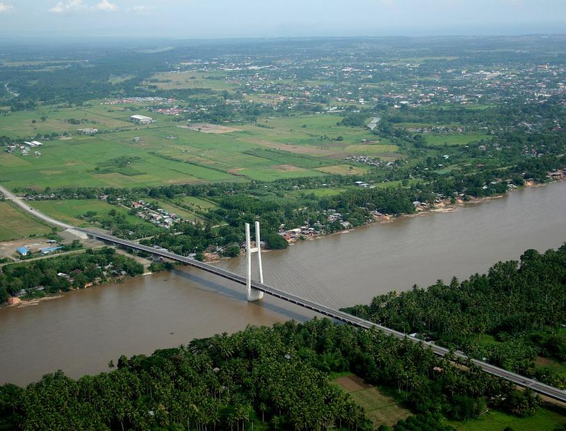
Butuan
Butuan’s most rewarding story begins with the Agusan River and the archaeological evidence of boatbuilding, trade and communities that developed beside it. The modern city is a useful base for exploring that history, with regional museum collections, excavation sites and riverside neighbourhoods spread across several districts.
Read the field guide
Cagayan de Oro
Cagayan de Oro combines an active commercial centre with a river landscape that has made whitewater rafting its best-known outdoor pursuit. Around the older city, museums, civic spaces and university collections offer a different way to understand Northern Mindanao beyond the rapids.
Read the field guide
Calapan City
Calapan is the capital and commercial centre of Oriental Mindoro, and an important ferry gateway from Batangas. It is a practical place to pause between journeys, but its provincial museum, wooded park and offshore sanctuary give a stay a purpose beyond changing vehicles.
Read the field guide
Calbayog City
Calbayog spreads far beyond its centre on Samar’s western coast. Its waterfall country reaches inland through forested barangays, while the urban waterfront, cathedral and food workshops provide a gentler introduction. The city’s reputation for tinapa, or smoked fish, belongs as much to its identity as its cascades.
Read the field guide
Caticlan (Malay)
Caticlan is Malay’s mainland air-and-sea gateway in Aklan, on Panay Island. It connects flights and overnight ferries with the short boat journey to Boracay. The airport and mainland jetty are different transfer stages; neither puts you directly on White Beach.
Read the field guide
Cebu City
Cebu City combines a busy port with an unusually concentrated heritage district, modern commercial neighbourhoods and hills rising towards Busay. A good visit gives its museums and living religious traditions time, instead of using the city only for a ferry connection.
Read the field guide
Cebu
Cebu works best as a network of different places rather than one compact resort. Cebu City brings museums and a busy waterfront, Mactan provides the airport and resort coast, and the northern and southern towns require their own road journeys.
Read the field guideCebu Province overviewConsuelo, San Francisco
Consuelo is a western coastal barangay and ferry gateway of San Francisco on Pacijan, one of the Camotes Islands. It is useful for arriving from mainland Cebu and continuing to a beach base, rather than a name for every attraction across the Camotes group.
Read the field guide
Cordova
Cordova occupies the southern side of the Mactan area, with fishing communities, mangrove shores and offshore reef excursions. It is a separate municipality from Lapu-Lapu City, even when a resort’s name or booking listing broadly says Mactan.
Read the field guide
Coron
Coron begins with an important distinction: the town where many travellers stay is on Busuanga Island, while the limestone lakes and lagoons of Coron Island lie across the water. The town is a working base for boats, meals and a climb above the bay. Its famous island scenery belongs to a separate outing.
Read the field guide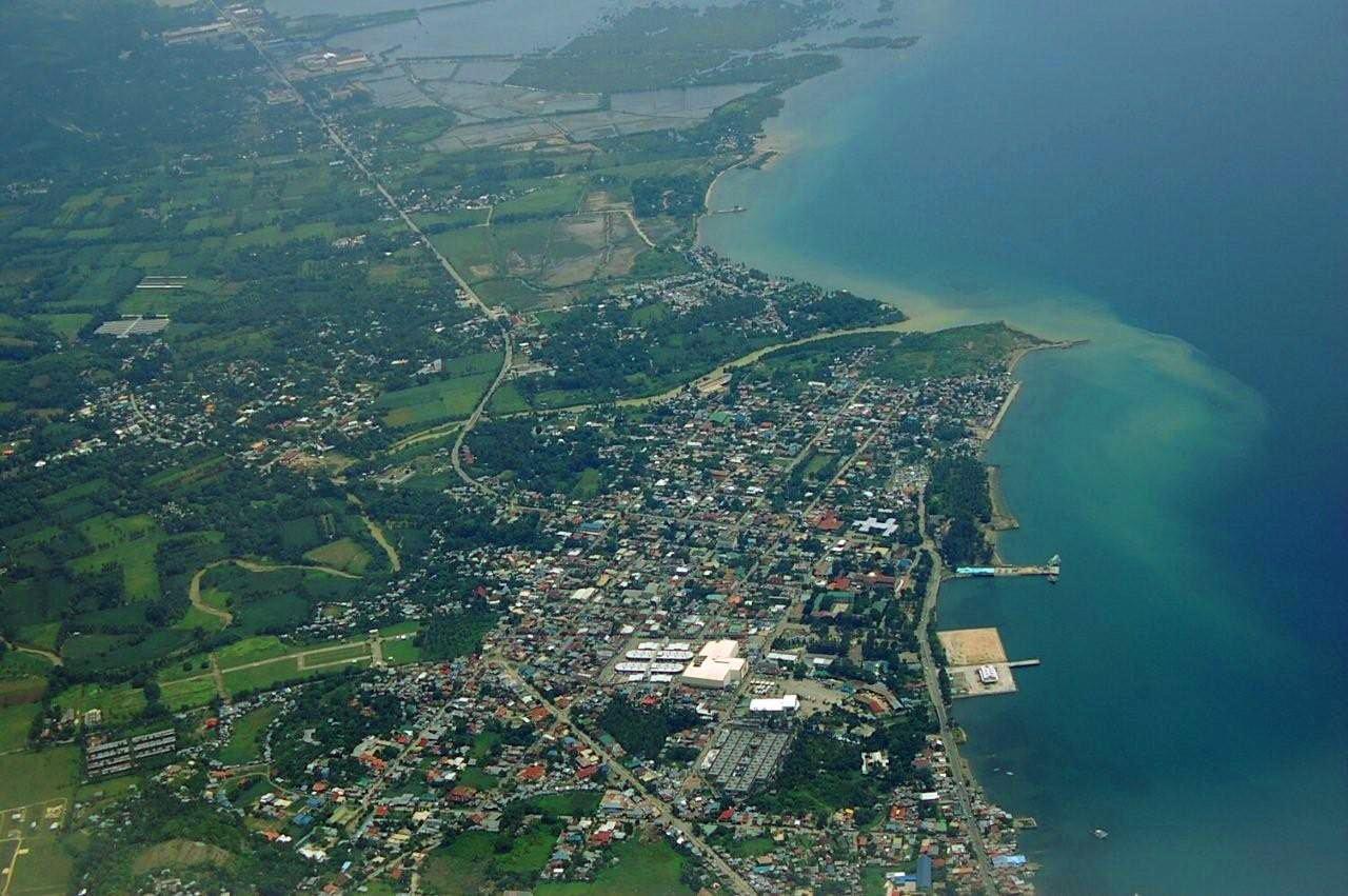
Danao City
Danao City sits on Cebu’s eastern side, north of the metropolitan centre and facing the Camotes Sea. It combines an active ferry gateway with a walkable heritage core, coastal mangroves and a mountainous interior that deserves its own time in the itinerary.
Read the field guide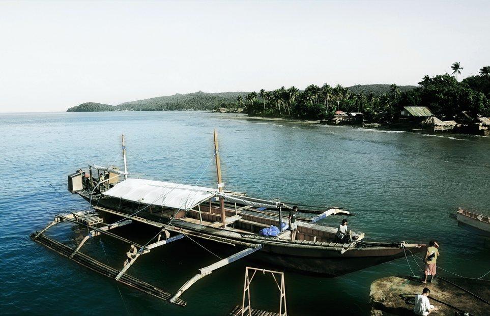 Allen municipality overview — local boat scene
Dapdap, Allen
Dapdap is one of Allen’s ferry gateways on the Northern Samar side of the San Bernardino Strait. It belongs to the busy passage between Luzon and the Visayas, but an Allen ticket does not automatically mean this terminal: Jubasan and Looc also serve the municipality. Match the landing name before arranging a pickup.
Read the field guide
Dapitan City
Dapitan’s identity is closely tied to José Rizal’s exile and to the civic spaces where that history remains visible. The historic centre, the Talisay shrine and the coastal resort area give the city several distinct settings beyond its role as a ferry gateway.
Read the field guide
Davao City
Davao City brings together a busy urban centre, fruit-growing districts and conservation sites on the edge of the mountains. A visit can connect Mindanao’s cultural histories with a sculpture-filled park and the work of the Philippine Eagle Foundation. The city covers more than its central shopping and hotel streets.
Read the field guide
Dipolog City
Dipolog is the coastal capital of Zamboanga del Norte, where the boulevard and civic streets sit below the inland hills. Sardines are part of its food identity, while the climb at Linabo provides a different perspective from the flat waterfront.
Read the field guide
Dumaguete
Dumaguete brings a university town, working harbour and historic waterfront together on the southeastern coast of Negros. Rizal Boulevard provides an easy introduction: old houses, the sea, campus life and people taking an evening walk give the city more character than a quick ferry connection reveals.
Read the field guide
Dumangas
Dumangas is a coastal municipality in Iloilo province, where ferry traffic, fishponds and church heritage meet. Travellers often know it as a gateway across to Bacolod, but the town also offers a useful introduction to the agricultural and fishing side of Panay.
Read the field guideEl Nido
El Nido faces the limestone islands of Bacuit Bay from northern Palawan. Its lagoons are reached by boat, while the town, mainland beaches and eastern villages offer different days on land. Give the bay room in the itinerary: moving slowly between a few permitted stops is more satisfying than expecting every lagoon and beach to fit one excursion.
Read the field guide
General Santos City
General Santos, usually shortened to GenSan, is a commercial city on Sarangani Bay in the SOCCSKSARGEN region of Mindanao. The tuna trade shapes both its working waterfront and its food identity. An urban stay offers an industrial sea story as well as civic spaces and routes towards nearby hills.
Read the field guide
Getafe
Getafe, also written Jetafe, is a port town on Bohol’s northern coast with fishing communities, small islands and extensive mangroves. It offers a different introduction to the province from the southern capital: the interest here lies in the shallow coastal landscape and the people who work with it.
Read the field guide
Iligan City
Iligan’s waterfalls sit within a landscape of ravines, springs and the Agus hydroelectric system. The city also has an industrial and cultural history, so a rewarding visit looks beyond a list of swimming spots to the relationship between water, work and local communities.
Read the field guide
Iloilo City
Iloilo City rewards time spent between its historic commercial streets, neighbourhood churches, river walks and kitchens. On Panay, it makes a natural partner to Bacolod across the strait, with an identity grounded in Ilonggo heritage rather than a beach-resort itinerary.
Read the field guide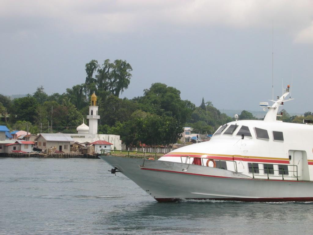
Isabela City
Isabela City de Basilan is a city and sea gateway on Basilan, with island communities across the channel from its urban core. Malamawi and Lampinigan belong to its local tourism geography, but they are separate islands with their own access arrangements. This is not Isabela province in Luzon or Isabela Island in the Galápagos.
Read the field guide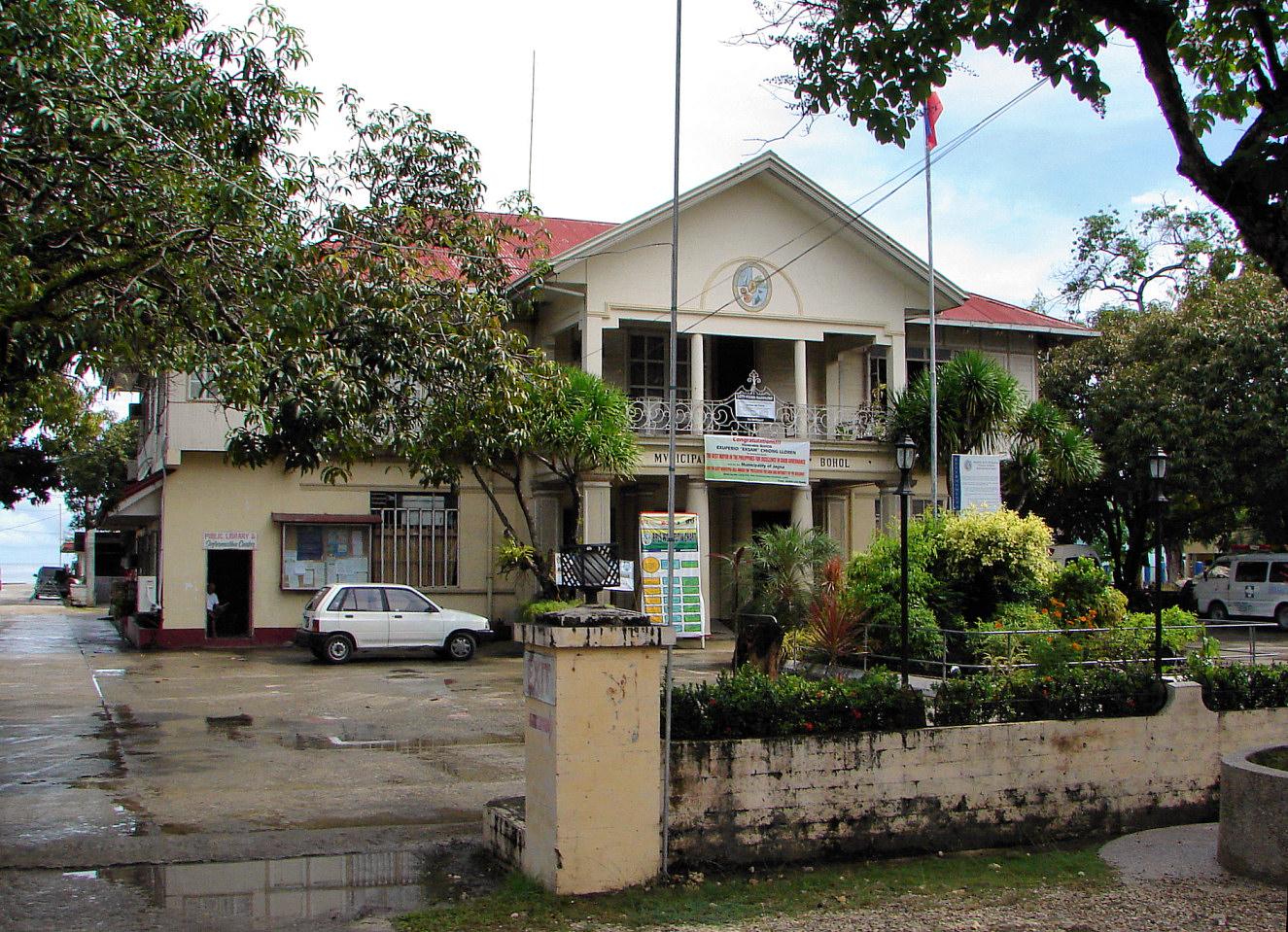
Jagna
Jagna is a busy trading and ferry town on Bohol’s southern coast, with a market, a historic church and a strong association with calamay sweets. It is a useful place to pause on an island journey rather than treating the harbour as the whole destination.
Read the field guide
Jolo
Jolo is the capital of Sulu and a centre of Tausug cultural and religious life. Its name can mean the municipality or the larger island, so an address described simply as “Jolo” needs closer checking. The museum and Tulay Mosque provide concrete ways to understand the town’s history and its living communities.
Read the field guide
Larena
Larena is a working port town on Siquijor Island with a quieter coastal hinterland of its own. Its town centre, hillside viewpoints and Sandugan accommodation area deserve a separate entry from Siquijor municipality, whose port lies elsewhere on the same island.
Read the field guide Southern Leyte overview
Liloan
Liloan in Southern Leyte straddles the mainland and the northern tip of Panaon Island. The narrow waterway between them gives the town its name, linked to the local word lilo for a whirlpool. This geography makes it both a road-and-ferry gateway and a place to pause beside sheltered-looking inlets, mangroves and coastal villages.
Read the field guide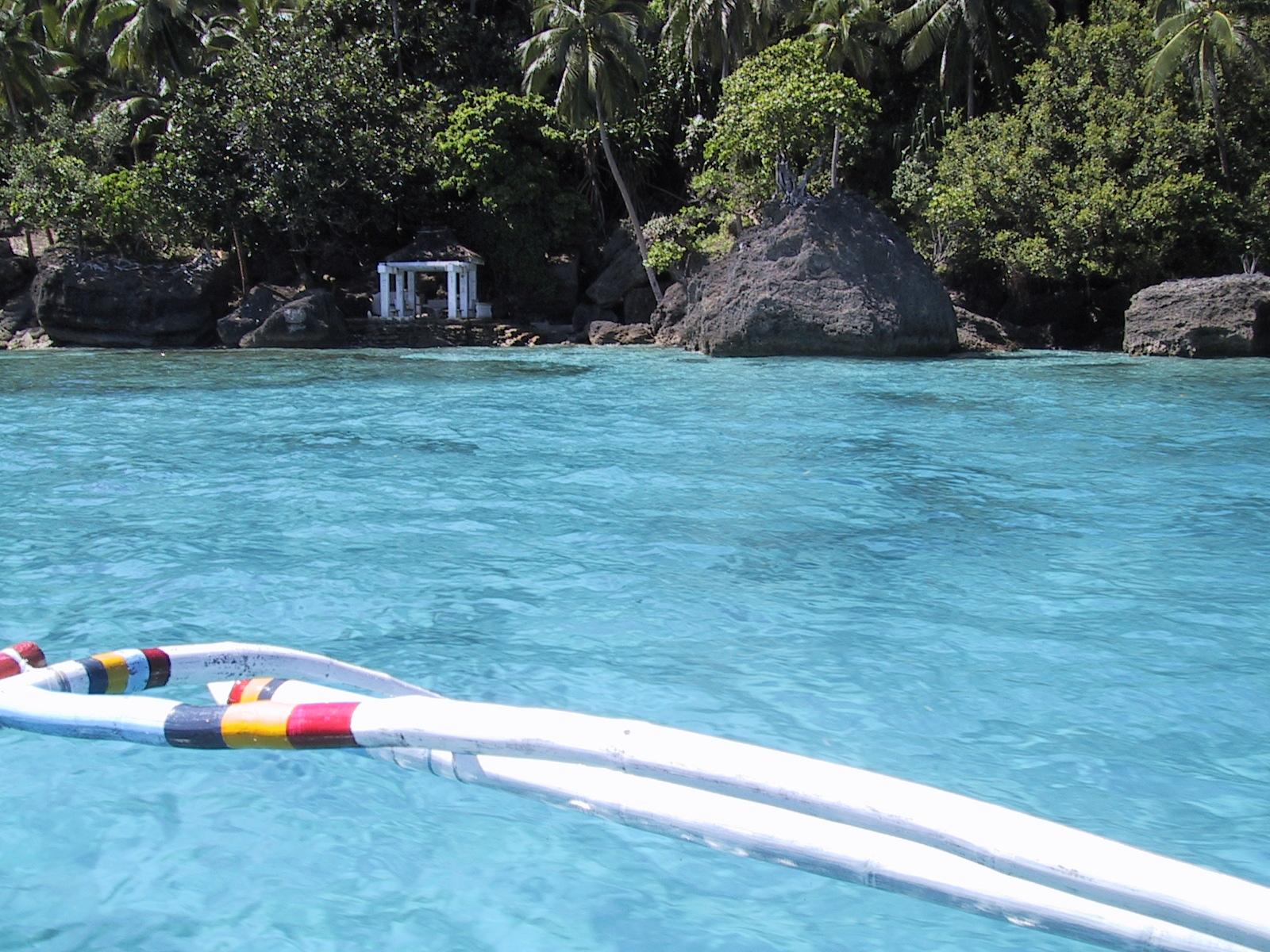
Limasawa
Limasawa is a small island municipality off southern Leyte, where coastal villages, religious heritage and reef excursions share the same landscape. Its significance is precise: the Philippine historical authorities recognise it as the site of the Easter Sunday Mass of 31 March 1521.
Read the field guide
Maasin
Maasin is a coastal city in Southern Leyte where religious landmarks rise from the centre into wooded hills. The cathedral and plaza provide an easy introduction, while hilltop shrines turn a visit into a sequence of views, stairways and quiet places of worship.
Read the field guide
Mactan / Lapu-Lapu City
Lapu-Lapu City is the urban destination covering much of Mactan Island, distinct from Cebu City across the channel. It combines resort beaches and diving with the Battle of Mactan memorial landscape and practical airport access.
Read the field guide
Magdiwang (Sibuyan)
Magdiwang is the northern Sibuyan base where a ferry arrival can lead to forested valleys, waterfalls and views of Mount Guiting-Guiting. It belongs to Romblon province, but Sibuyan is a separate island from both Tablas and Romblon town: the name of the province does not describe a single connected road trip.
Read the field guide
Manila
Start with the historic core rather than treating Manila as only an airport stop. Intramuros preserves the city’s walled district, while the National Museum complex and Rizal Park place art, history and civic memory within the same broad central area. The city rewards time on foot between individual sights, with transport for longer jumps.
Read the field guide
Masbate City
Masbate City brings the province’s cattle-country identity to an urban waterfront. Rodeo Masbateño gives that tradition a public stage, while the cathedral, provincial capitol area and coastal communities provide a quieter introduction outside festival time. The appeal is the combination of everyday city life and an easily recognisable maritime landscape.
Read the field guide
Matnog
Matnog occupies Luzon’s southern tip, where the road through Sorsogon meets the sea route towards Samar. Ferries, buses and rolling cargo are central to daily life, but the municipality also includes island beaches, a lagoon and river communities. A port connection and a coastal holiday need different plans.
Read the field guide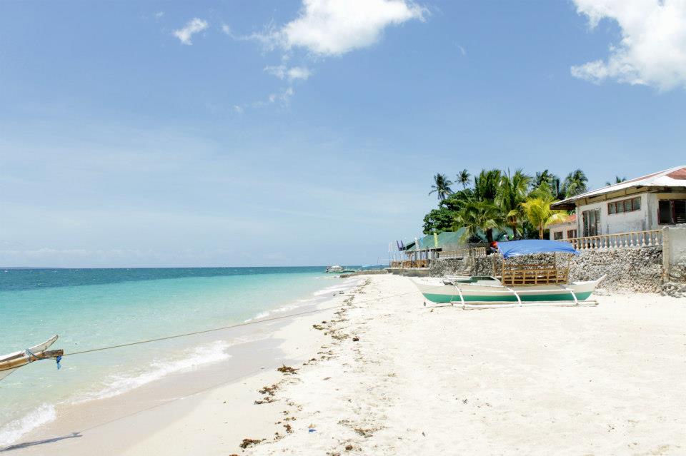
Medellin (Cebu)
Medellin occupies the northern Cebu mainland, where sugarcane fields spread between coastal settlements and inland attractions. The agricultural landscape is central to its identity: the town’s Katubhan celebration honours the sugarcane economy, while visitors also come for bamboo groves, beaches and golf.
Read the field guide
Nasipit
Nasipit is an industrial coastal municipality on Nasipit Bay and the home of a major Agusan del Norte seaport. Its working waterfront, town promontory and wartime harbour history make it a different stop from a resort island or central Butuan.
Read the field guide
Odiongan
Odiongan is a practical west-coast base on Tablas Island, with a ferry port at Poctoy, town services and access to the island’s quieter inland scenery. It is part of Romblon province, but reaching Romblon town or Sibuyan still requires a separate sea journey.
Read the field guide
Ormoc
Ormoc is a city on western Leyte whose port links it with nearby islands and major Visayan gateways. The urban waterfront, market and plaza make a convenient base for food and onward transport.
Read the field guide
Oroquieta
Oroquieta, the capital of Misamis Occidental, faces Iligan Bay with the Layawan River and a civic centre close to the coast. Its municipal territory extends far inland towards Mount Malindang, so a city stay and a mountain journey are very different experiences.
Read the field guide
Oslob
Oslob stretches along southeastern Cebu, with a seaside heritage centre, fishing settlements and the offshore island of Sumilon. Its attractions are spread along the coast rather than gathered around one ferry terminal.
Read the field guide
Ozamiz
Ozamiz is a coastal city in Misamis Occidental with an important passenger port and its own airport. The Cotta waterfront brings together a historic fort, a devotional shrine and a public park, giving a sea arrival a useful introduction to the city.
Read the field guide
Palompon
Palompon is a mainland town on northwestern Leyte and a gateway to Kalanggaman Island. The appeal is the combination: a working coastal community where you organise the journey, then a separate boat ride to pale sand and open sea.
Read the field guide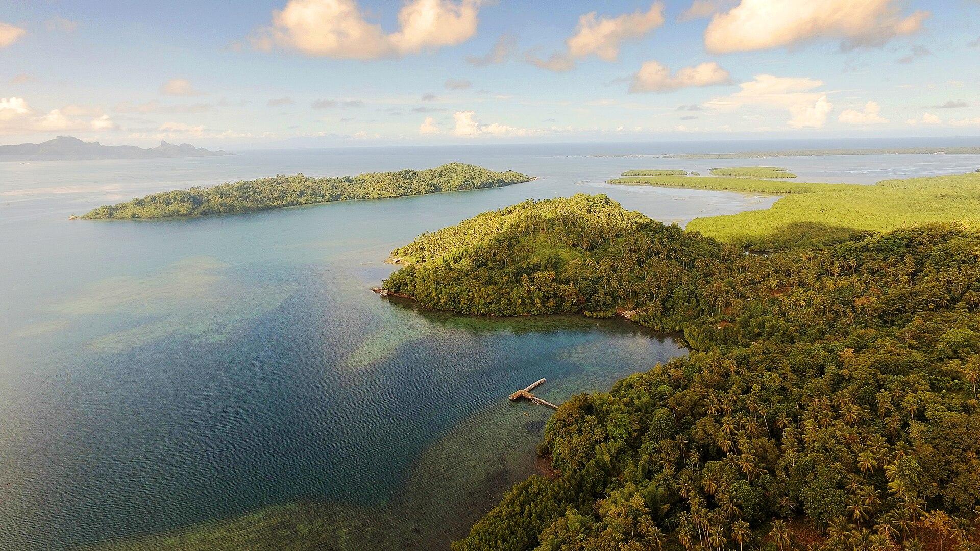 Misamis Occidental overview
Plaridel
Plaridel in Misamis Occidental is a mainland port town with Bawbawon Island just offshore. The harbour and the shallow-water island landscape offer two different experiences: one is a working transport gateway, the other a coastal excursion requiring a separate boat arrangement.
Read the field guide
Puerto Galera
Puerto Galera spreads around bays at the northern end of Mindoro, combining established dive centres, lively beach districts and quieter coves beneath wooded hills. The name describes a municipality with several very different bases, not one continuous resort beach.
Read the field guide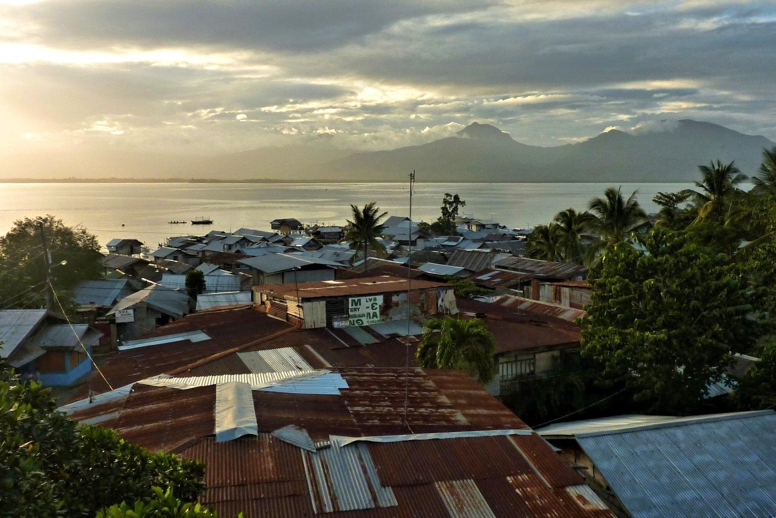
Puerto Princesa
Use Puerto Princesa for a practical first or last night in Palawan, then give its countryside the time it deserves. The city centre has a baywalk, a wartime memorial and neighbourhood food stops. The famous Underground River lies far from those streets, on the island’s western coast, within a protected mountain-to-sea landscape.
Read the field guide Local overview of Pulupandan
Pulupandan
Pulupandan is a port municipality in Negros Occidental, on the western side of Negros Island. Its appeal lies in the meeting of a working coastal town and wetlands that shelter waterbirds. It suits an unhurried stop built around the shore, local food and everyday town life.
Read the field guide Area near Romblon Town
Romblon Town
Romblon town is the provincial capital on Romblon Island, combining marble craftsmanship, a compact harbour setting and nearby coastal outings. Give the town itself time before heading out to beaches: its built heritage and working craft tradition explain much of the island’s identity.
Read the field guide
Roxas City
Roxas City is the capital of Capiz, on Panay Island. A visit combines an old civic centre beside the Panay River with Baybay’s coastal restaurants and the fishing landscapes beyond the built-up streets. This is Roxas in Capiz, not the similarly named ferry town on Mindoro.
Read the field guide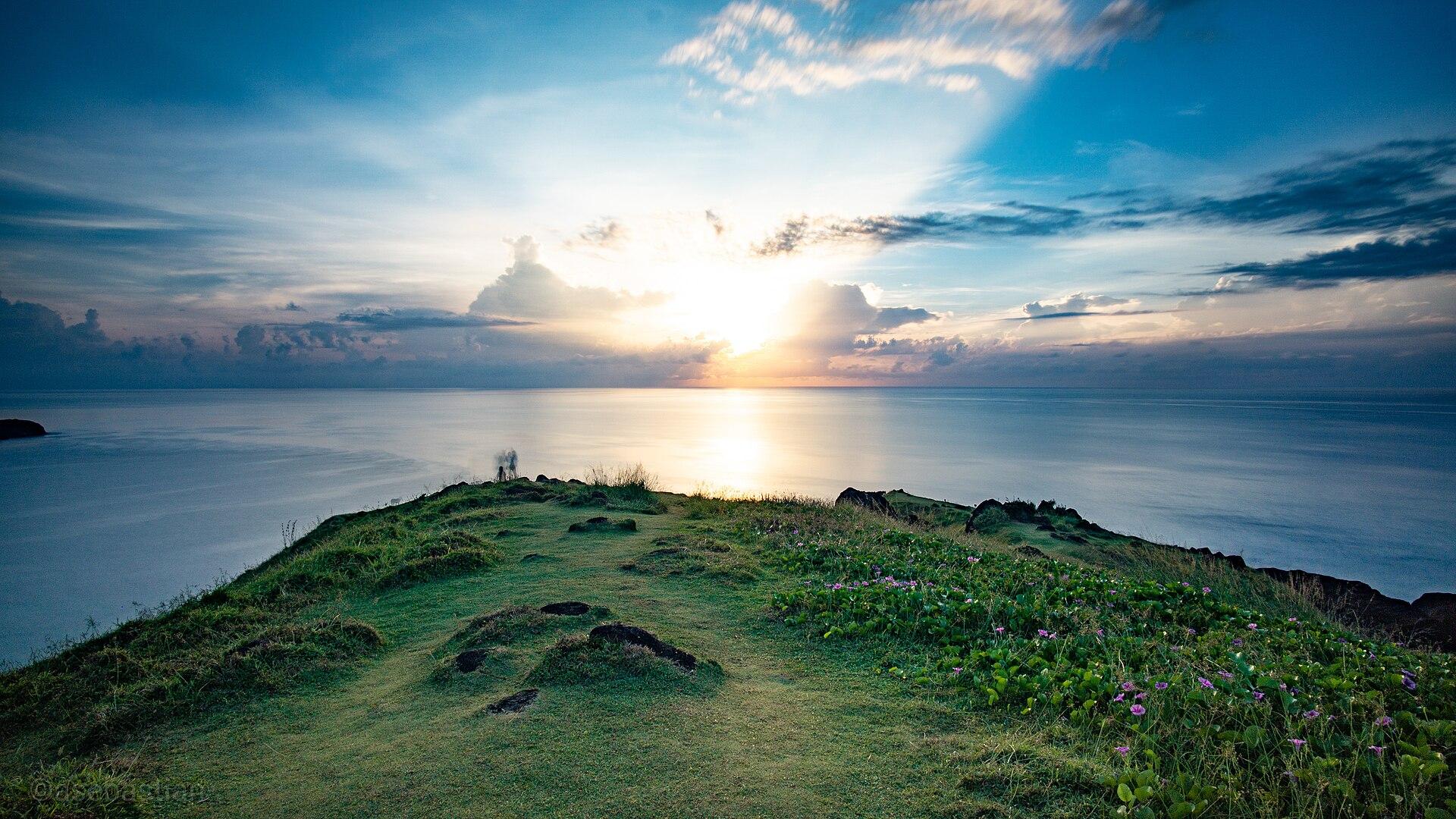 Catanduanes overview
San Andres
San Andres is a municipality on the western side of Catanduanes and a practical sea gateway to the island. Its port faces the Albay connection, while the surrounding coast and agricultural communities provide a quieter introduction than simply continuing straight to Virac. Include Catanduanes in searches and reservations: several Philippine places share the name San Andres.
Read the field guide Area near San Carlos City
San Carlos City
San Carlos faces Cebu across the Tañon Strait from the eastern coast of Negros Occidental. Its role as a ferry gateway is only one part of the place: flower-painted festival dancers, working coastal communities and the offshore island of Sipaway give it a distinct character. This is the San Carlos on Negros, not the city of the same name in Pangasinan.
Read the field guide
San Jose
San Jose is the provincial capital and a principal sea gateway to the Dinagat Islands. Its appeal combines a working waterfront, community traditions and a striking civic building on the hills. This is San Jose in Caraga, not one of the many other Philippine towns sharing the name.
Read the field guide
Santa Fe
Santa Fe is the ferry gateway on southeastern Bantayan Island, where a port arrival can become a beach stay rather than another transfer. Sand, small resort properties and places to eat give it a different rhythm from mainland Cebu.
Read the field guide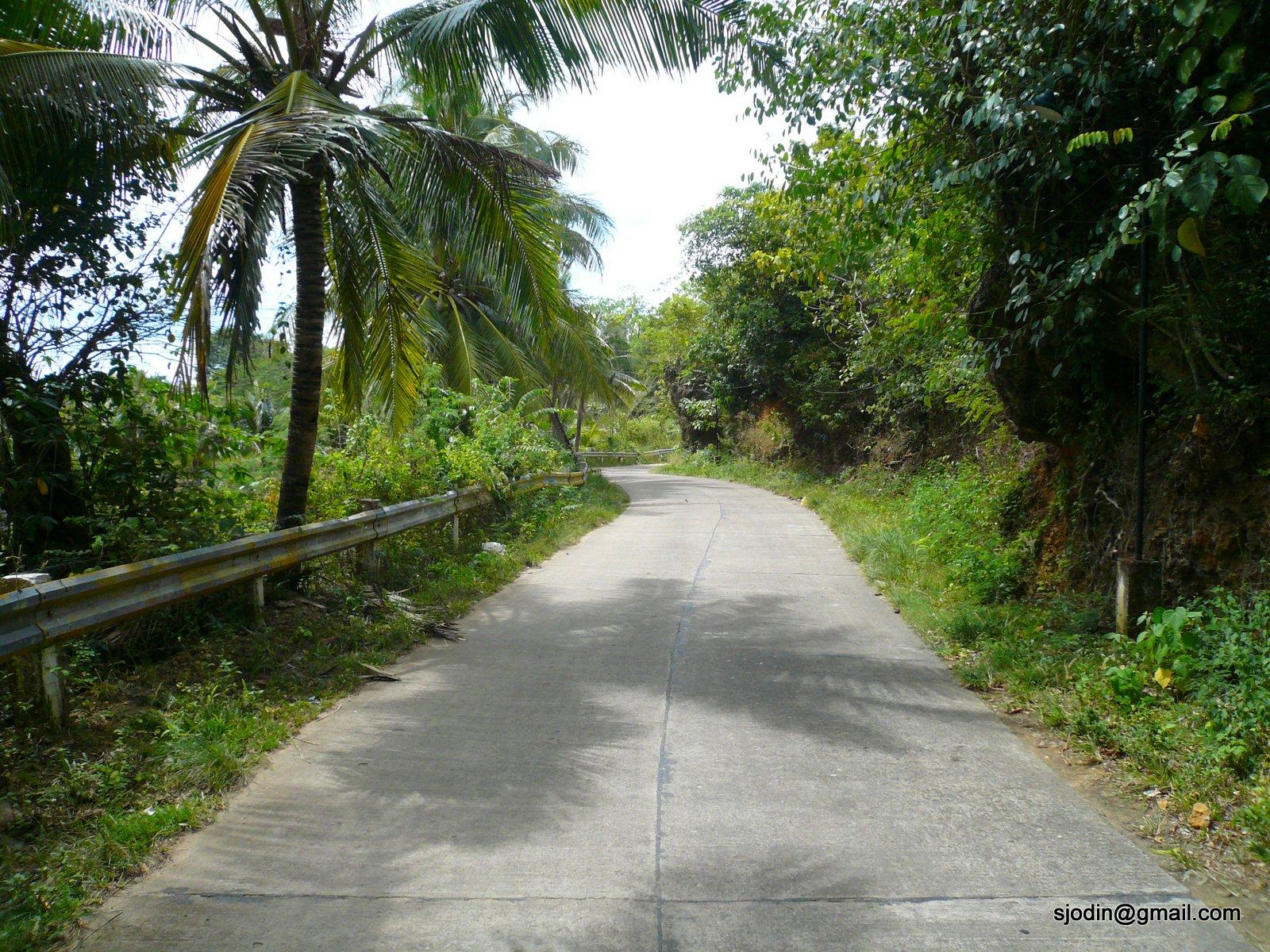 Guimaras island overview — Sibunag road
Sibunag / Sebaste
Sibunag occupies the southeastern side of Guimaras, facing Negros across the strait. Its coast combines fishing communities, mangroves and river-mouth scenery, while inland villages and offshore islands give the municipality several different settings. Sebaste is a coastal community and port arrival within Sibunag.
Read the field guide
Siquijor
Siquijor is both an island name and the name of its capital municipality. This guide starts with the port town, its church and nearby countryside, then identifies excursions elsewhere on the island explicitly. Larena is a separate town and ferry terminal, so it matters which name is printed on your ticket.
Read the field guide
Surigao City
Surigao City occupies the northern edge of mainland Mindanao and faces a strait that has shaped both its maritime life and its history. It can be more than a ferry interchange: the city includes pebble shores, mangrove waterways, caves and a significant Second World War memorial.
Read the field guide
Tabaco City
Tabaco combines a historic urban core with a broad coastal and upland setting. Start with St John the Baptist Parish, the city’s volcanic-stone architecture and its tradition of making tabak blades, then decide whether the next day belongs to the coast or an island visit. Mayon forms part of the landscape, but viewing the volcano and entering its slopes are very different activities.
Read the field guide
Tagbilaran City
Tagbilaran is Bohol’s provincial capital and a useful ferry gateway, with a compact heritage district, a substantial museum and everyday city life. It sits on the main island beside the channel towards Panglao; booking a room here is a different choice from staying on Alona Beach.
Read the field guide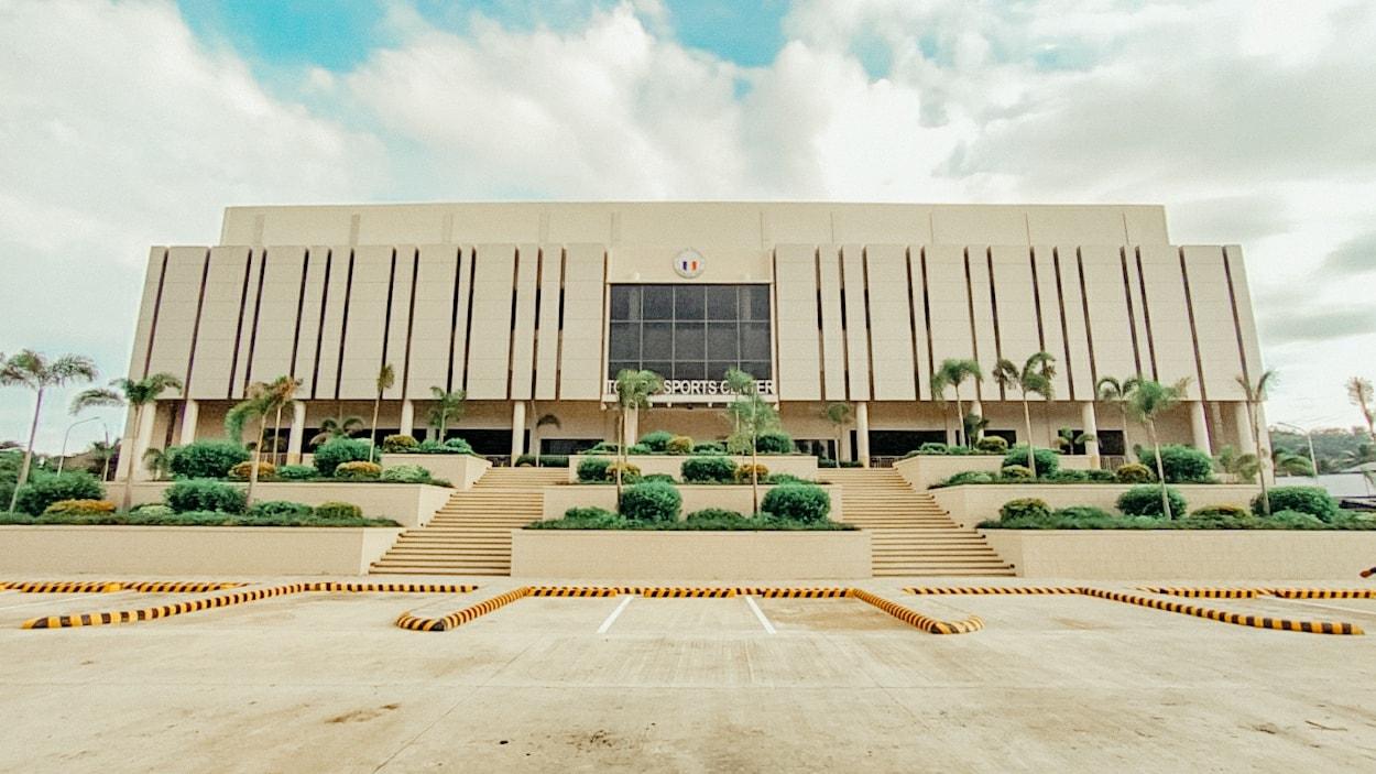
Toledo City, Cebu
Toledo sits on Cebu’s west coast facing Tañon Strait, with a ferry connection to San Carlos on Negros. Its character comes from a working waterfront, inland communities and a substantial copper-mining landscape.
Read the field guide
Tubigon
Tubigon is a working ferry town on Bohol’s northwestern coast, facing the Cebu Strait. It combines a busy arrival point with a parish church, raffia weaving and an estuary-and-island landscape that is easy to miss when immediately heading inland.
Read the field guide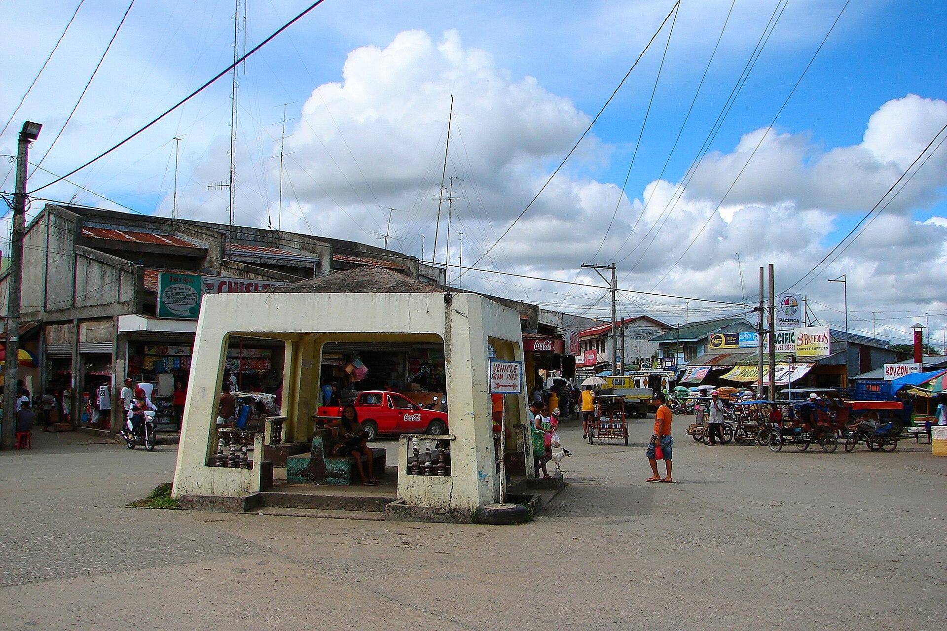
Ubay
Ubay is a working port and agricultural centre in northeastern Bohol. Its character comes from fields, livestock and fisheries as much as the waterfront, making it an interesting stop for travellers who want to understand the island beyond its southern beach resorts.
Read the field guide
Zamboanga City
Zamboanga City is a maritime and cultural hub at the southwestern end of its peninsula. Chabacano, a Spanish-based creole, is one distinctive part of its identity, alongside the traditions of the many communities represented in its markets, weaving and religious places. The city’s story extends well beyond its colonial architecture.
Read the field guidePhoto credits66
- Depicts: BacolodSan Sebastian Cathedral Bacolod (Rizal Street, Bacolod, Negros Occidental; 10-31-2022). Author: Patrickroque01. Credit: Self-photographed. License: CC BY-SA 4.0 (https://creativecommons.org/licenses/by-sa/4.0). Source: https://commons.wikimedia.org/wiki/File:San_Sebastian_Cathedral_Bacolod_(Rizal_Street,_Bacolod,_Negros_Occidental;_10-31-2022).jpgCropped to fit the display.
- Depicts: BasilanIsabela City Forest Park. Author: Aldous Mariano Cariño. Credit: Self-photographed. License: CC BY-SA 4.0 (https://creativecommons.org/licenses/by-sa/4.0). Source: https://commons.wikimedia.org/wiki/File:Isabela_City_Forest_Park.jpgCropped to fit the display.
- Depicts: Batangas CityMinor Basilica of the Immaculate Conception (Batangas City), April 2023. Author: Ralff Nestor Nacor. Credit: Self-photographed. License: CC BY-SA 4.0 (https://creativecommons.org/licenses/by-sa/4.0). Source: https://commons.wikimedia.org/wiki/File:Minor_Basilica_of_the_Immaculate_Conception_(Batangas_City),_April_2023.jpgCropped to fit the display.
- Depicts: Bato, LeyteBato Leyte (10-30-2022). Author: PaulGorduiz106. Credit: Own work. License: CC BY-SA 4.0 (https://creativecommons.org/licenses/by-sa/4.0). Source: https://commons.wikimedia.org/wiki/File:Bato_Leyte_(10-30-2022).jpgCropped to fit the display.
- Depicts: Bogo CityCapitancillo Island - Tower - Southwest Side 3. Author: Defenestrated Juan. Credit: Own work. License: CC BY-SA 4.0 (https://creativecommons.org/licenses/by-sa/4.0). Source: https://commons.wikimedia.org/wiki/File:Capitancillo_Island_-_Tower_-_Southwest_Side_3.jpgCropped to fit the display.
- Depicts: BulalacaoBulalacao Town Hall. Author: Elmer B. Domingo. Credit: Own work. License: CC BY-SA 4.0 (https://creativecommons.org/licenses/by-sa/4.0). Source: https://commons.wikimedia.org/wiki/File:Bulalacao_Town_Hall.jpgCropped to fit the display.
- Depicts: ButuanMacapagalBridge2. Author: Yanong Lumad ( talk ). Credit: I created this work entirely by myself.. License: Public domain (https://creativecommons.org/publicdomain/mark/1.0/). Source: https://commons.wikimedia.org/wiki/File:MacapagalBridge2.jpg
- Depicts: Cagayan de OroCDO Poblacion, CM Recto Avenue-A. Velez, Misamis Oriental Provincial Capitol drone (Cagayan De Oro City; 03-21-2026). Author: Patrickroque01. Credit: Taken using my drone DJI Mavic 3. License: CC BY-SA 4.0 (https://creativecommons.org/licenses/by-sa/4.0). Source: https://commons.wikimedia.org/wiki/File:CDO_Poblacion,_CM_Recto_Avenue-A._Velez,_Misamis_Oriental_Provincial_Capitol_drone_(Cagayan_De_Oro_City;_03-21-2026).jpgCropped to fit the display.
- Depicts: Calapan CityCalapan City Hall. Author: Elmer B. Domingo. Credit: Own work. License: CC BY-SA 4.0 (https://creativecommons.org/licenses/by-sa/4.0). Source: https://commons.wikimedia.org/wiki/File:Calapan_City_Hall.jpgCropped to fit the display.
- Depicts: Calbayog CityCalbayog City Port (Gomez Street, Calbayog, Samar; 04-27-2023). Author: Patrickroque01. Credit: Taken using my own camera. License: CC BY-SA 4.0 (https://creativecommons.org/licenses/by-sa/4.0). Source: https://commons.wikimedia.org/wiki/File:Calbayog_City_Port_(Gomez_Street,_Calbayog,_Samar;_04-27-2023).jpgCropped to fit the display.
- Depicts: Caticlan (Malay)Boracay 4K HD drone shot. Author: SkyVista Drone. Credit: FLYING OVER PHILIPPINES (4K UHD) on YouTube (2:59). License: CC BY 3.0 (https://creativecommons.org/licenses/by/3.0). Source: https://commons.wikimedia.org/wiki/File:Boracay_4K_HD_drone_shot.jpgCropped to fit the display.
- Depicts: Cebu CityCebu city skyline 2025. Author: DisRaptor18. Credit: Own work. License: CC0 (https://creativecommons.org/publicdomain/zero/1.0/). Source: https://commons.wikimedia.org/wiki/File:Cebu_city_skyline_2025.jpg
- Depicts: CebuOsmeña Peak, Cebu, Philippines. Author: Tyrll Adolf Itong. Credit: Own work. License: CC BY-SA 4.0 (https://creativecommons.org/licenses/by-sa/4.0). Source: https://commons.wikimedia.org/wiki/File:Osme%C3%B1a_Peak,_Cebu,_Philippines.jpgCropped to fit the display.
- Depicts: CordovaSunsets in Cordova. Author: Carl Kho. Credit: Own work. License: CC BY-SA 4.0 (https://creativecommons.org/licenses/by-sa/4.0). Source: https://commons.wikimedia.org/wiki/File:Sunsets_in_Cordova.jpgCropped to fit the display.
- Depicts: CoronKayangan Lake, Coron, Palawan. Author: Sepiorosario/Lakwatserong Frog. Credit: Kayangan Lake. License: CC BY-SA 4.0 (https://creativecommons.org/licenses/by-sa/4.0). Source: https://commons.wikimedia.org/wiki/File:Kayangan_Lake,_Coron,_Palawan.jpgCropped to fit the display.
- Depicts: Danao CityDanao Cebu. Author: George Parrilla. Credit: Flickr: CSC_0124. License: CC BY 2.0 (https://creativecommons.org/licenses/by/2.0). Source: https://commons.wikimedia.org/wiki/File:Danao_Cebu.jpgCropped to fit the display.
- Area image: Banka at Allen, Northern SamarBanka at Allen Northern Samar. Author: Ariel. Credit: Flickr: Banka. License: CC BY 2.0 (https://creativecommons.org/licenses/by/2.0). Source: https://commons.wikimedia.org/wiki/File:Banka_at_Allen_Northern_Samar.jpgCropped to fit the display.
- Depicts: Dapitan CityDapitan Church facade. Author: Project Kisame. Credit: Flickr: Dapitan City. License: CC BY 2.0 (https://creativecommons.org/licenses/by/2.0). Source: https://commons.wikimedia.org/wiki/File:Dapitan_Church_facade.jpgCropped to fit the display.
- Depicts: Davao CityDavao Poblacion District skyline Bajada (Davao City; 08-22-2023). Author: Patrickroque01. Credit: Taken using my own camera. License: CC BY-SA 4.0 (https://creativecommons.org/licenses/by-sa/4.0). Source: https://commons.wikimedia.org/wiki/File:Davao_Poblacion_District_skyline_Bajada_(Davao_City;_08-22-2023).jpgCropped to fit the display.
- Depicts: Dipolog CityDipolog Central, Rizal Avenue (Dipolog, Zamboanga Del Norte; 10-17-2023). Author: Patrickroque01. Credit: Taken using my own camera. License: CC BY-SA 4.0 (https://creativecommons.org/licenses/by-sa/4.0). Source: https://commons.wikimedia.org/wiki/File:Dipolog_Central,_Rizal_Avenue_(Dipolog,_Zamboanga_Del_Norte;_10-17-2023).jpgCropped to fit the display.
- Depicts: DumagueteDumaguete Belfry park view (Perdices Street, Dumaguete, Negros Oriental; 01-19-2023). Author: Patrickroque01. Credit: Self-photographed Canon EOS M100. License: CC BY-SA 4.0 (https://creativecommons.org/licenses/by-sa/4.0). Source: https://commons.wikimedia.org/wiki/File:Dumaguete_Belfry_park_view_(Perdices_Street,_Dumaguete,_Negros_Oriental;_01-19-2023).jpgCropped to fit the display.
- Depicts: DumangasDumangas Church, Iloilo, Sep 2026 (1). Author: Ralff Nestor Nacor. Credit: Self-photographed. License: CC BY-SA 4.0 (https://creativecommons.org/licenses/by-sa/4.0). Source: https://commons.wikimedia.org/wiki/File:Dumangas_Church,_Iloilo,_Sep_2026_(1).jpgCropped to fit the display.
- Depicts: General Santos CityGensan Dadiangas South, P. Acharon Boulevard, Gensan Public Market drone (General Santos City; 03-24-2026). Author: Patrickroque01. Credit: Taken using my own drone with model DJI Mavic 3. License: CC BY-SA 4.0 (https://creativecommons.org/licenses/by-sa/4.0). Source: https://commons.wikimedia.org/wiki/File:Gensan_Dadiangas_South,_P._Acharon_Boulevard,_Gensan_Public_Market_drone_(General_Santos_City;_03-24-2026).jpgCropped to fit the display.
- Depicts: GetafeGetafe Bohol 1. Author: P199. Credit: Own work. License: CC BY-SA 3.0 (https://creativecommons.org/licenses/by-sa/3.0). Source: https://commons.wikimedia.org/wiki/File:Getafe_Bohol_1.jpgCropped to fit the display.
- Depicts: Iligan CityIligan City Proper overlooking Mount Lelong (Iligan, Lanao Del Norte; 10-15-2023). Author: Patrickroque01. Credit: Taken using my own camera. License: CC BY-SA 4.0 (https://creativecommons.org/licenses/by-sa/4.0). Source: https://commons.wikimedia.org/wiki/File:Iligan_City_Proper_overlooking_Mount_Lelong_(Iligan,_Lanao_Del_Norte;_10-15-2023).jpgCropped to fit the display.
- Depicts: Iloilo CityIloilo River, Tabucan, Mandurriao drone (Iloilo City; 01-24-2026). Author: Patrickroque01. Credit: Taken using my own DJI Mavic 3 drone. License: CC BY-SA 4.0 (https://creativecommons.org/licenses/by-sa/4.0). Source: https://commons.wikimedia.org/wiki/File:Iloilo_River,_Tabucan,_Mandurriao_drone_(Iloilo_City;_01-24-2026).jpgCropped to fit the display.
- Depicts: Isabela CityBasian by boat. Author: Jjarivera. Credit: Own work. License: Public domain (https://creativecommons.org/publicdomain/mark/1.0/). Source: https://commons.wikimedia.org/wiki/File:Basian_by_boat.JPG
- Depicts: JagnaJagna Bohol 2. Author: P199. Credit: Own work. License: CC BY-SA 3.0 (https://creativecommons.org/licenses/by-sa/3.0). Source: https://commons.wikimedia.org/wiki/File:Jagna_Bohol_2.jpgCropped to fit the display.
- Depicts: JoloJolo town proper, Tulay Mosque bay view (Jolo, Sulu; 10-10-2023). Author: Patrickroque01. Credit: Taken using my own camera. License: CC BY-SA 4.0 (https://creativecommons.org/licenses/by-sa/4.0). Source: https://commons.wikimedia.org/wiki/File:Jolo_town_proper,_Tulay_Mosque_bay_view_(Jolo,_Sulu;_10-10-2023).jpgCropped to fit the display.
- Depicts: LarenaLarena Town Hall. Author: Lawrence Ruiz. Credit: Own work. License: CC BY-SA 4.0 (https://creativecommons.org/licenses/by-sa/4.0). Source: https://commons.wikimedia.org/wiki/File:Larena_Town_Hall.JPGCropped to fit the display.
- Area image: Southern Leyte — Southern Leyte overviewAgas-Agas Bridge. Author: Maximilian Felkel. Credit: Own work. License: CC BY-SA 3.0 (https://creativecommons.org/licenses/by-sa/3.0). Source: https://commons.wikimedia.org/wiki/File:Agas-Agas_Bridge.jpgCropped to fit the display.
- Depicts: LimasawaLimasawa island - panoramio. Author: Gonchang. Credit: https://web.archive.org/web/20161012191631/http://www.panoramio.com/photo/18535414. License: CC BY 3.0 (https://creativecommons.org/licenses/by/3.0). Source: https://commons.wikimedia.org/wiki/File:Limasawa_island_-_panoramio.jpgCropped to fit the display.
- Depicts: MaasinMaasin City proper coastal view (Maasin, Southern Leyte; 01-17-2024). Author: Patrickroque01. Credit: Taken using my own camera. License: CC BY-SA 4.0 (https://creativecommons.org/licenses/by-sa/4.0). Source: https://commons.wikimedia.org/wiki/File:Maasin_City_proper_coastal_view_(Maasin,_Southern_Leyte;_01-17-2024).jpgCropped to fit the display.
- Depicts: Mactan / Lapu-Lapu CityMactan, Lapu-Lapu City, Cebu, Philippines - panoramio (1). Author: Jaeho Choi. Credit: https://web.archive.org/web/20161031030037/http://www.panoramio.com/photo/125916225. License: CC BY-SA 3.0 (https://creativecommons.org/licenses/by-sa/3.0). Source: https://commons.wikimedia.org/wiki/File:Mactan,_Lapu-Lapu_City,_Cebu,_Philippines_-_panoramio_(1).jpgCropped to fit the display.
- Depicts: Magdiwang (Sibuyan)Guiting-guiting 4. Author: Androkoy. Credit: Own work. License: CC BY-SA 4.0 (https://creativecommons.org/licenses/by-sa/4.0). Source: https://commons.wikimedia.org/wiki/File:Guiting-guiting_4.jpgCropped to fit the display.
- Depicts: ManilaCityscape of Manila, 2025 (01). Author: Bahnfrend. Credit: Own work. License: CC BY-SA 4.0 (https://creativecommons.org/licenses/by-sa/4.0). Source: https://commons.wikimedia.org/wiki/File:Cityscape_of_Manila,_2025_(01).jpgCropped to fit the display.
- Depicts: Masbate CityMasbate City skyline port area (Masbate City; 04-12-2024). Author: Patrickroque01. Credit: Taken using my own camera. License: CC BY-SA 4.0 (https://creativecommons.org/licenses/by-sa/4.0). Source: https://commons.wikimedia.org/wiki/File:Masbate_City_skyline_port_area_(Masbate_City;_04-12-2024).jpgCropped to fit the display.
- Depicts: MatnogBulusan Volcano from afar. Author: Jamesbourne1986. Credit: Own work. License: CC BY-SA 4.0 (https://creativecommons.org/licenses/by-sa/4.0). Source: https://commons.wikimedia.org/wiki/File:Bulusan_Volcano_from_afar.jpgCropped to fit the display.
- Depicts: Medellin (Cebu)Kawit beach1. Author: Vladimircartilla. Credit: Own work. License: CC BY-SA 4.0 (https://creativecommons.org/licenses/by-sa/4.0). Source: https://commons.wikimedia.org/wiki/File:Kawit_beach1.jpgCropped to fit the display.
- Depicts: NasipitNASIPIT AERIAL. Author: Lucky Ambago Purok Otso. Credit: Own work. License: CC BY-SA 4.0 (https://creativecommons.org/licenses/by-sa/4.0). Source: https://commons.wikimedia.org/wiki/File:NASIPIT_AERIAL.jpgCropped to fit the display.
- Depicts: OdionganTown of Odiongan, Romblon. Author: Charleskuurt. Credit: Own work. License: CC0 (https://creativecommons.org/publicdomain/zero/1.0/). Source: https://commons.wikimedia.org/wiki/File:Town_of_Odiongan,_Romblon.jpg
- Depicts: Ormoc7-11 Lopez Haena Ormoc-Outside. Author: TheNuggeteer. Credit: Own work. License: CC BY-SA 4.0 (https://creativecommons.org/licenses/by-sa/4.0). Source: https://commons.wikimedia.org/wiki/File:7-11_Lopez_Haena_Ormoc-Outside.jpgCropped to fit the display.
- Depicts: OroquietaOroquieta City Plaza Kiosk (Rizal Street, Oroquieta, Misamis Occidental; 10-16-2023). Author: Patrickroque01. Credit: Taken using my own camera. License: CC BY-SA 4.0 (https://creativecommons.org/licenses/by-sa/4.0). Source: https://commons.wikimedia.org/wiki/File:Oroquieta_City_Plaza_Kiosk_(Rizal_Street,_Oroquieta,_Misamis_Occidental;_10-16-2023).jpgCropped to fit the display.
- Depicts: OslobOslob Municipal Hall. Author: Elmer B. Domingo. Credit: Own work. License: CC BY-SA 4.0 (https://creativecommons.org/licenses/by-sa/4.0). Source: https://commons.wikimedia.org/wiki/File:Oslob_Municipal_Hall.jpgCropped to fit the display.
- Depicts: OzamizOzamiz City, Mount Malindang view from Panguil Bay (Misamis Occidental; 01-24-2024). Author: Patrickroque01. Credit: Taken using my own camera. License: CC BY-SA 4.0 (https://creativecommons.org/licenses/by-sa/4.0). Source: https://commons.wikimedia.org/wiki/File:Ozamiz_City,_Mount_Malindang_view_from_Panguil_Bay_(Misamis_Occidental;_01-24-2024).jpgCropped to fit the display.
- Depicts: PalomponPalompon Rizal Street. Author: JinJian. Credit: Own work. License: CC BY-SA 4.0 (https://creativecommons.org/licenses/by-sa/4.0). Source: https://commons.wikimedia.org/wiki/File:Palompon_Rizal_Street.jpgCropped to fit the display.
- Area image: Misamis Occidental — Misamis Occidental overviewBaliangao 2. Author: Theglennpalacio. Credit: Own work. License: CC BY-SA 4.0 (https://creativecommons.org/licenses/by-sa/4.0). Source: https://commons.wikimedia.org/wiki/File:Baliangao_2.jpgCropped to fit the display.
- Depicts: Puerto GaleraMuelle Port, Puerto Galera, Oriental Mindoro, April 2023. Author: Ralff Nestor Nacor. Credit: Self-photographed. License: CC BY-SA 4.0 (https://creativecommons.org/licenses/by-sa/4.0). Source: https://commons.wikimedia.org/wiki/File:Muelle_Port,_Puerto_Galera,_Oriental_Mindoro,_April_2023.jpgCropped to fit the display.
- Depicts: Puerto PrincesaPuerto Princesa. Author: Bjorn Sintobin. Credit: Flickr: Puerto Princesa. License: CC BY 2.0 (https://creativecommons.org/licenses/by/2.0). Source: https://commons.wikimedia.org/wiki/File:Puerto_Princesa.jpgCropped to fit the display.
- Area image: Seaport located at Pulupandan, Negros Occidental — local overview of Pulupandan.Port of Pulupandan. Author: Kingprince2424. Credit: Own work. License: CC0 (https://creativecommons.org/publicdomain/zero/1.0/). Source: https://commons.wikimedia.org/wiki/File:Port_of_Pulupandan.jpg
- Area image: Fort San Andres is a 17th century Spanish colonial fortification under the supervision of Fr. Agustin de San Pedro — Area near Romblon TownFort San Andres 1. Author: Joannerfabregas. Credit: Own work. License: CC BY-SA 4.0 (https://creativecommons.org/licenses/by-sa/4.0). Source: https://commons.wikimedia.org/wiki/File:Fort_San_Andres_1.JPGCropped to fit the display.
- Depicts: Roxas CityPanay River, Roxas City Bridge (Roxas, Capiz; 10-19-2022). Author: Patrickroque01. Credit: Taken using my own camera EOS M100. License: CC BY-SA 4.0 (https://creativecommons.org/licenses/by-sa/4.0). Source: https://commons.wikimedia.org/wiki/File:Panay_River,_Roxas_City_Bridge_(Roxas,_Capiz;_10-19-2022).jpgCropped to fit the display.
- Area image: Catanduanes — Catanduanes overviewCatanduanes 2. Author: ASEBASTIAN1218. Credit: Own work. License: CC BY-SA 4.0 (https://creativecommons.org/licenses/by-sa/4.0). Source: https://commons.wikimedia.org/wiki/File:Catanduanes_2.jpgCropped to fit the display.
- Area image: Port of San Carlos, Negros Occidental, Philippines — Area near San Carlos CitySan Carlos NegOcc. Author: Robert Breivik. Credit: panoramio. License: CC BY-SA 3.0 (https://creativecommons.org/licenses/by-sa/3.0). Source: https://commons.wikimedia.org/wiki/File:San_Carlos_NegOcc.jpgCropped to fit the display.
- Depicts: San JosePhilippine Benevolent Missionaries Association Shrine, San Jose, Dinagat Islands, Philippines. Author: Hero122. Credit: Own work Previously published: https://www.facebook.com/149024808572607/photos/pb.149024808572607.-2207520000.1425545436./644899348985148/?type=3&theater. License: CC BY-SA 3.0 (https://creativecommons.org/licenses/by-sa/3.0). Source: https://commons.wikimedia.org/wiki/File:Philippine_Benevolent_Missionaries_Association_Shrine,_San_Jose,_Dinagat_Islands,_Philippines.jpgCropped to fit the display.
- Depicts: Santa FeBig Church Santa Fe at Batlayan in the Philippines 2. Author: Øyvind Holmstad. Credit: Own work. License: CC BY-SA 4.0 (https://creativecommons.org/licenses/by-sa/4.0). Source: https://commons.wikimedia.org/wiki/File:Big_Church_Santa_Fe_at_Batlayan_in_the_Philippines_2.jpgCropped to fit the display.
- Area image: Road in Sibunag, GuimarasConcrete road on Guimaras island - panoramio. Author: Mats Sjödin. Credit: https://web.archive.org/web/20161021192401/http://www.panoramio.com/photo/64423190. License: CC BY 3.0 (https://creativecommons.org/licenses/by/3.0). Source: https://commons.wikimedia.org/wiki/File:Concrete_road_on_Guimaras_island_-_panoramio.jpgCropped to fit the display.
- Depicts: SiquijorSt. Francis of Assisi Church (Siquijor, Siquijor). Author: Franz Miko Verzon. Credit: Own work. License: CC BY-SA 4.0 (https://creativecommons.org/licenses/by-sa/4.0). Source: https://commons.wikimedia.org/wiki/File:St._Francis_of_Assisi_Church_(Siquijor,_Siquijor).jpgCropped to fit the display.
- Depicts: Surigao CitySurigao City Hall. Author: Roel Balingit. Credit: Self-photographed. License: CC BY-SA 4.0 (https://creativecommons.org/licenses/by-sa/4.0). Source: https://commons.wikimedia.org/wiki/File:Surigao_City_Hall.JPGCropped to fit the display.
- Depicts: Tabaco CitySan Juan Bautista Tabaco. Author: Brazal.dang. Credit: Own work. License: CC BY-SA 4.0 (https://creativecommons.org/licenses/by-sa/4.0). Source: https://commons.wikimedia.org/wiki/File:San_Juan_Bautista_Tabaco.jpgCropped to fit the display.
- Depicts: Tagbilaran CityTagbilaran skyline. Author: P199. Credit: Own work. License: CC BY-SA 3.0 (https://creativecommons.org/licenses/by-sa/3.0). Source: https://commons.wikimedia.org/wiki/File:Tagbilaran_skyline.JPGCropped to fit the display.
- Depicts: Toledo City, CebuToledo City Sports Center(Megadome). Author: Unknown author Unknown author. Credit: facebook. License: Public domain (https://creativecommons.org/publicdomain/mark/1.0/). Source: https://commons.wikimedia.org/wiki/File:Toledo_City_Sports_Center(Megadome).jpg
- Depicts: TubigonTubigon Bohol 1. Author: P199. Credit: Own work. License: CC BY-SA 3.0 (https://creativecommons.org/licenses/by-sa/3.0). Source: https://commons.wikimedia.org/wiki/File:Tubigon_Bohol_1.JPGCropped to fit the display.
- Depicts: UbayUbay Bohol 2. Author: P199. Credit: Own work. License: CC BY-SA 3.0 (https://creativecommons.org/licenses/by-sa/3.0). Source: https://commons.wikimedia.org/wiki/File:Ubay_Bohol_2.JPGCropped to fit the display.
- Depicts: Zamboanga CityZamboanga City Hall & Rizal Park, Mar 2026. Author: Ralff Nestor Nacor. Credit: Self-photographed. License: CC BY-SA 4.0 (https://creativecommons.org/licenses/by-sa/4.0). Source: https://commons.wikimedia.org/wiki/File:Zamboanga_City_Hall_%26_Rizal_Park,_Mar_2026.jpgCropped to fit the display.
