
Koh Tao.
Koh Tao is a small Gulf island whose days often revolve around diving, beach cafés and sunset on Sairee. You can also enjoy it without a dive course: choose a bay, visit a viewpoint and spend time by the water instead of trying to fit every coast into one afternoon.
Photo credits1
- Depicts: Koh TaoBan Mae Haad Ko Tao. Author: kallerna. Credit: Own work. License: CC BY-SA 4.0 (https://creativecommons.org/licenses/by-sa/4.0). Source: https://commons.wikimedia.org/wiki/File:Ban_Mae_Haad_Ko_Tao.jpgCropped to fit the display.
Make your way to Koh Tao
Choose a tool and your dates to check the options for your trip.
More ways to explore
- Country
- Thailand
- Currency
- THB
- Time zone
- Asia/Bangkok
Koh Tao is a small Gulf island whose days often revolve around diving, beach cafés and sunset on Sairee. You can also enjoy it without a dive course: choose a bay, visit a viewpoint and spend time by the water instead of trying to fit every coast into one afternoon.
Mae Haad, Sairee and Chalok Ban Kao are useful starting points for understanding the island. Mae Haad handles arrivals, Sairee combines a long beach with dining and dive businesses, and Chalok offers a southern base. Nearby Nang Yuan is a separate boat outing, not a beach you reach by driving north.
When to go
TAT identifies February–April as a generally favourable visiting period, but dive visibility and boat conditions still vary. Use the Gulf forecast, not an Andaman island calendar. Leave spare time around the return ferry and ask the dive school how current wind and sea conditions affect the day’s site selection. A rainy afternoon does not establish conditions at every dive site.
Getting there
Lomprayah’s public network connects Tao with the Gulf island route and Chumphon on the mainland. Confirm the actual sailing, arrival pier and road segment if travelling from a station or airport. The local dive-school guide identifies Mae Haad as the arrival area; arrange the onward pickup with your host rather than assuming a beach room is beside the ferry.
Getting around
Use a host-arranged pickup or an agreed taxi for luggage and cross-island journeys. A beach walk and a hillside viewpoint require different footwear and effort. Ask about gradients, steps and the return vehicle before heading to a remote property. For snorkelling by boat, agree the number of stops and the safe return arrangement before departure.
Local food
Sairee Cottage’s own restaurant page lists Thai-style noodles, mieng pla and grilled catch alongside pizza and other international choices. It provides a concrete option for a beach meal without implying these dishes originate uniquely on Tao. Ask what fish is available, explain allergies and check the evening service directly. A quiet lunch can be easier to arrange than arriving with a large group at sunset.
What to see
The King Rama V rock at Sairee adds a historical stop to a beach walk. In the south, Sun Suwan viewpoint offers an elevated look at the coastal landscape; check current access and the steps before going. For time underwater, compare instructors and course structure rather than choosing only from a low advertised price or a promise of a particular animal sighting.
Towns and neighbourhoods
Mae Haad is the arrival settlement, with onward transfers to other parts of the island. Sairee has beach restaurants, bars and diving businesses, while Chalok Ban Kao is a different southern bay. Match the exact property and beach name with the host. Koh Tao’s Mae Haad must not be confused with the beach of the same name on Koh Phangan.
Coast and outdoors
Sairee suits a beach day with nearby food and a west-facing evening outlook. Chalok Ban Kao offers another coastal setting in the south. Nang Yuan consists of separate islets linked by sandbars, so confirm boat return, admission and current visitor rules before leaving Tao. At any snorkelling spot, keep clear of boat lanes and avoid touching coral or marine animals.
Where to stay
Choose Mae Haad for arrival convenience, Sairee for beach dining and nearby dive schools, or Chalok for a southern bay base. Check whether a quoted room is tied to a diving package. Sairee Cottage Diving explicitly distinguishes the resort from the dive business and directs room-only guests to the resort; a course offer is not automatically a standalone hotel reservation.
Useful before you go
For a dive course, discuss instructor qualifications, equipment, group size and your own requirements before paying. Ask the professionals to plan the diving schedule around onward flights. Keep sea-day belongings dry and carry the host’s contact offline. Viewpoint access, boat steps and beach landings should be checked individually if mobility is limited; a short distance on the island map does not prove easy access.
Good to know before you go
Do I need to dive to enjoy Koh Tao?
No. Beaches, viewpoints, meals and a separate Nang Yuan outing can fill a relaxed stay.
Where do I arrange pickup after the ferry?
Confirm the actual pier with the carrier and your host; Mae Haad is the main arrival area described locally.
Is Nang Yuan part of a road tour?
No. It is a separate group of islets reached by boat.
Does a dive-school room price guarantee a hotel-only booking?
No. Some offers are linked to courses; verify the accommodation terms separately.
Can a wildlife sighting be guaranteed?
No. Choose a responsible operator and appropriate conditions rather than a promise of seeing a particular animal.
Sources & references
These references support the guide. Confirm opening hours, access and travel services before you go.
- 01TAT: diving island, Sairee and non-diving activities; outdated electricity and fixed-price statements excluded
- 02Province: Chalok Ban Kao, King Rama V rock and Sun Suwan viewpoint
- 03TAT: separate Nang Yuan islets and sandbars; old admission/boat prices excluded
- 04First-party dive school: Mae Haad arrival, Sairee and Chalok locations, instructor and equipment considerations; historic price agreement excluded
- 05First-party training facilities and beach location; promotional safety guarantees and exclusivity not repeated
- 06First-party restaurant: Thai noodles, mieng pla and grilled catch; no live opening or availability promise
- 07First-party accommodation conditions: resort separate from dive school; room-only bookings distinguished
- 08Operator public Gulf route context; no booking vouchers, API requests or fixed times used
- 09TMD public Gulf forecast page reviewed 30 October 2026
Where could the journey go next?
More guides in Thailand. Compare the places and check actual connections before combining stops.
Koh Phangan
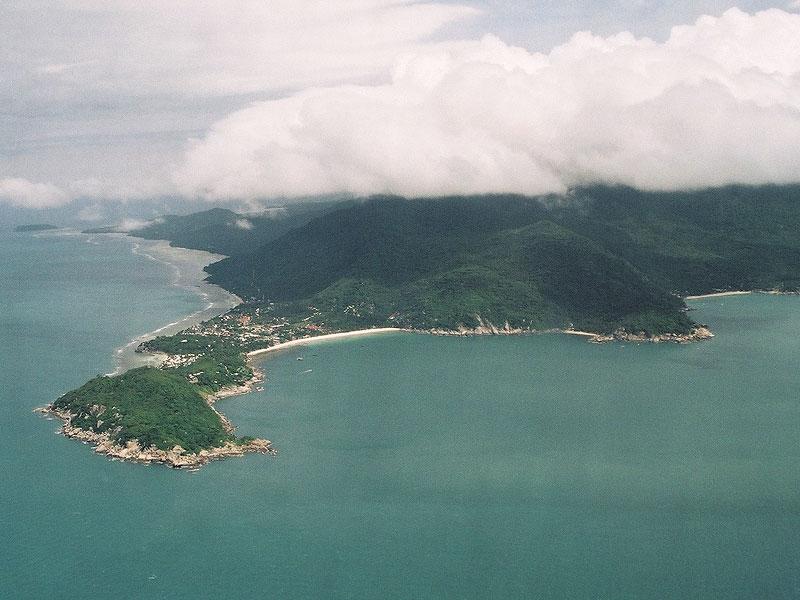
Koh Phangan offers several very different island holidays: beach evenings around Haad Rin, fishing life at Chalok Lam, forest and waterfalls near Than Sadet, or a quiet northeast stay at Thong Nai Pan. Choosing a coast matters more than the island’s party reputation.
Get to know the place
Koh Phaluai
Koh Phaluai is an inhabited Gulf island of fishing communities, numbered bays and quiet coastal scenery near the Ang Thong island group. Its own villages and beaches deserve an unhurried stay rather than being reduced to a stop on a tour of neighbouring islands.
Get to know the place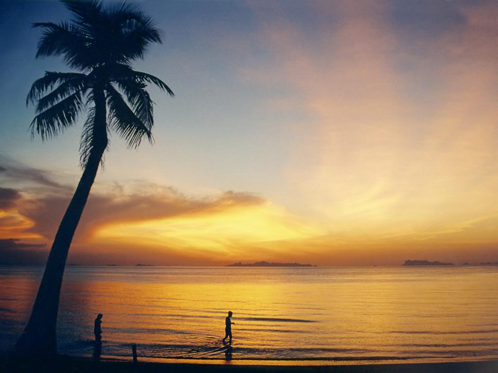
Koh Samui
Koh Samui combines long beach days with temple visits, old waterfront buildings and a broad choice of places to eat. Chaweng, Lamai, Bophut and the quieter western coast offer different stays, so begin by choosing the setting you want rather than treating the whole island as one resort strip.
Get to know the place Area near Chumphon / Lomprayah Pier
Chumphon / Lomprayah Pier
The Chumphon Lomprayah stop is Thung Makham Noi Pier in Hat Sai Ri subdistrict, not Chumphon railway station or the airport. It is a mainland gateway for the Gulf islands, especially Koh Tao. Keep the road connection and the boat departure as distinct parts of the journey.
Get to know the placePhoto credits4
- Depicts: Koh PhanganKoh Phangan01. Author: Manfred Werner ( User:Tsui. Credit: Own work. License: CC BY-SA 3.0 (https://creativecommons.org/licenses/by-sa/3.0/). Source: https://commons.wikimedia.org/wiki/File:Koh_Phangan01.jpgCropped to fit the display.
- Depicts: Koh PhaluaiAlone mangrove tree. Author: Stéphane Bidouze. Credit: Own work. License: CC BY-SA 4.0 (https://creativecommons.org/licenses/by-sa/4.0). Source: https://commons.wikimedia.org/wiki/File:Alone_mangrove_tree.jpgCropped to fit the display.
- Depicts: Koh SamuiKoh Samui Lipa Noi2. Author: Manfred Werner. Credit: picture taken by Manfred Werner. License: CC BY-SA 3.0 (https://creativecommons.org/licenses/by-sa/3.0/). Source: https://commons.wikimedia.org/wiki/File:Koh_Samui_Lipa_Noi2.jpgCropped to fit the display.
- Area image: Lomprayah High Speed Ferries port.Chumporn ท่าเรือลมพระยา(ชุมพร) — Area near Chumphon / Lomprayah PierLomprayah High Speed Ferries port.Chumporn ท่าเรือลมพระยา(ชุมพร) - panoramio. Author: Boonchai C. Credit: https://web.archive.org/web/20161023203519/http://www.panoramio.com/photo/51899777. License: CC BY 3.0 (https://creativecommons.org/licenses/by/3.0). Source: https://commons.wikimedia.org/wiki/File:Lomprayah_High_Speed_Ferries_port.Chumporn_%E0%B8%97%E0%B9%88%E0%B8%B2%E0%B9%80%E0%B8%A3%E0%B8%B7%E0%B8%AD%E0%B8%A5%E0%B8%A1%E0%B8%9E%E0%B8%A3%E0%B8%B0%E0%B8%A2%E0%B8%B2(%E0%B8%8A%E0%B8%B8%E0%B8%A1%E0%B8%9E%E0%B8%A3)_-_panoramio.jpgCropped to fit the display.
