
Wellington.
Wellington brings a capital city’s museums and political landmarks into a compact harbour setting. Its appeal is easy to experience on foot: follow the waterfront, turn inland for coffee on Cuba Street, then climb or ride into the hills for a view back over the city and its busy water.
Photo credits1
- Depicts: WellingtonSeddon Statue in Parliament Grounds. Author: russellstreet. Credit: https://www.flickr.com/photos/russellstreet/4640549163/. License: CC BY-SA 2.0 (https://creativecommons.org/licenses/by-sa/2.0). Source: https://commons.wikimedia.org/wiki/File:Seddon_Statue_in_Parliament_Grounds.jpgCropped to fit the display.
Make your way to Wellington
Choose a tool and your dates to check the options for your trip.
More ways to explore
- Country
- New Zealand
- Currency
- NZD
- Time zone
- Pacific/Auckland
Wellington brings a capital city’s museums and political landmarks into a compact harbour setting. Its appeal is easy to experience on foot: follow the waterfront, turn inland for coffee on Cuba Street, then climb or ride into the hills for a view back over the city and its busy water.
It is also a useful pause before or after a Cook Strait crossing, but deserves more than a terminal transfer. Give one day to the central city and another to gardens, native wildlife or the eastern harbour bays. Wind can change the rhythm of an outing, so pair outdoor plans with indoor cultural stops.
When to go
Summer falls in December–February and gives more daylight for bays and hill walks. Autumn can suit a mix of city culture and outdoor time, while winter favours a plan with indoor alternatives. Wellington’s regional climate is strongly influenced by Cook Strait and the hills, with wind an important factor. Bring an extra layer for the waterfront even when the city streets feel warm.
Getting there
Wellington Airport’s AX bus links the airport with central stops and the railway station. Cook Strait ferries use separate operator terminals: Bluebridge is at 50 Waterloo Quay, while Interislander uses Kaiwharawhara. Interislander provides a station shuttle for specified sailings, subject to its current arrangements. Check your operator before setting out; Queens Wharf’s Days Bay harbour ferry is a third, different service.
Getting around
Walking works well for the central waterfront and Te Aro, with buses useful for outer suburbs and hill connections. The Cable Car provides another way to combine Kelburn with the gardens. For a day across the harbour, take East By West to Days Bay and plan the return before starting a long walk. A city hotel does not automatically place you within a short walk of every ferry terminal.
Local food
Coffee, brunch and international cooking are central to Wellington’s food scene. Cuba Street brings contrasting options close together: Rasa for South Asian and Malaysian flavours, Ombra for Italian small plates and Floriditas for café dining. On Queens Wharf, seafood-focused venues such as Dockside and Shed 5 give a different setting. Choose by atmosphere and current menu; seasonal ingredients and opening patterns vary.
What to see
Te Papa combines Māori and Pacific taonga, art, natural history and national stories on the waterfront. Its Gallipoli exhibition remains part of the museum’s programme following an extension to 2032. In the government precinct, Parliament tours explain the buildings and democratic institutions. The Cable Car climbs from Lambton Quay to Kelburn, where the lookout, Cable Car Museum and Botanic Garden make a natural sequence.
Towns and neighbourhoods
Te Aro and Cuba Street suit cafés, independent shops and evening meals. Lambton Quay links central shopping with the lower Cable Car terminal; northward, Thorndon brings heritage streets and Katherine Mansfield House. Oriental Bay follows the shoreline east of the central waterfront. Kelburn is uphill, so a short map distance can involve a substantial climb or a different transport choice.
Coast and outdoors
Oriental Bay gives the central city a beach and promenade for a gentler outdoor break. Mount Victoria/Matairangi offers a larger walking outing through the town belt, with steep sections, roots and steps before the harbour view. Zealandia Te Māra a Tāne provides a separate forest-and-wildlife visit in Karori, with walking routes and guided options. Select a route suited to your mobility rather than assuming every lookout is step-free.
Where to stay
Te Aro around Cuba Street and Courtenay Place is convenient for dining and performance venues. Cable Street suits Te Papa and the waterfront, while Oriental Parade offers a bay-side setting. Thorndon and the northern central area can work well for the station and government precinct. Compare the exact address, slope and evening surroundings, and plan a separate transfer for an early Cook Strait departure.
Useful before you go
Te Papa’s general entry is not free for every visitor: international visitors aged sixteen and over require a ticket, while New Zealanders and people living in New Zealand have different eligibility. Check special-exhibition terms separately. For ferries, follow the named terminal and your check-in instructions. In the hills, keep to signed routes and allow extra time where walking and cycling tracks intersect.
Good to know before you go
Can I visit the main sights without a car?
Yes. The compact centre works well on foot, supported by buses and the Cable Car. Plan separate connections for outer attractions or the Interislander terminal.
Do all ferries leave from Queens Wharf?
No. Queens Wharf serves the harbour ferry; Bluebridge uses Waterloo Quay and Interislander uses Kaiwharawhara.
Is Te Papa free for all overseas tourists?
No. International visitors aged sixteen and over need a general-entry ticket. The museum explains resident eligibility and additional paid experiences on its website.
Is the Mount Victoria lookout walk wheelchair accessible?
The walking route has steep gradients and steps. The lower Richard Byrd Memorial viewpoint has a different accessible approach from the summit parking area.
Where should I base a short city stay?
Te Aro and Cable Street suit food and museums, Oriental Parade suits the bay, and the northern central area suits station and government-precinct plans.
Sources & references
These references support the guide. Confirm opening hours, access and travel services before you go.
- 01WellingtonNZ — compact city and café culture
- 02WellingtonNZ — Parliament and Katherine Mansfield House
- 03Te Papa — international entry eligibility and permanent collections
- 04Te Papa — Gallipoli exhibition extension and reopening
- 05Wellington Cable Car — Kelburn connection and attractions
- 06Wellington Gardens — Botanic Garden
- 07Zealandia — sanctuary visits and Karori location
- 08WellingtonNZ — Mount Victoria routes, steps and accessible lower viewpoint
- 09WellingtonNZ — Cuba Street dining
- 10WellingtonNZ — waterfront seafood venues
- 11Earth Sciences New Zealand — Wellington historical climate, not a live forecast
- 12Tourism New Zealand — seasons
- 13Metlink — Airport Express route
- 14Bluebridge — distinct Waterloo Quay terminal
- 15Interislander — Kaiwharawhara passenger arrangements and shuttle limitations
- 16WellingtonNZ — separate Queens Wharf harbour ferry
- 17WellingtonNZ — central walking and transport
- 18WellingtonNZ — performance-venue accommodation locations
- 19WellingtonNZ — Oriental Bay and waterfront accommodation areas
- 20WellingtonNZ — Thorndon and northern central accommodation
Where could the journey go next?
More guides in New Zealand. Compare the places and check actual connections before combining stops.

Queens Wharf (Wellington)
Queens Wharf sits on Wellington’s central waterfront, where a harbour-ferry departure can become a full day of museums, seafood and walks beside the water. The East by West service connects this city landing with Days Bay on the eastern side of Wellington Harbour.
Get to know the place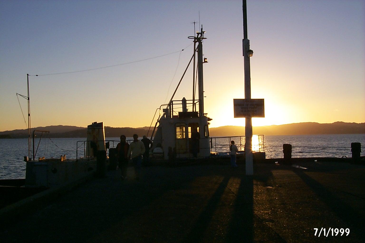 Area near Days Bay / Eastbourne
Days Bay / Eastbourne
Days Bay turns a Wellington harbour crossing into a beach-and-bush day. The wharf lands beside a sandy shore, with Williams Park behind and forest rising above the waterfront. Nearby Eastbourne adds a village centre, small shops and a longer coastal outing on the eastern side of the harbour.
Get to know the place
Picton (Waitohi)
Picton, also known as Waitohi, opens onto the sheltered waterways and wooded hills of the Marlborough Sounds. Ferries make it a busy gateway between New Zealand’s main islands, but the foreshore, maritime museum and walking tracks give good reasons to stay beyond a connection.
Get to know the place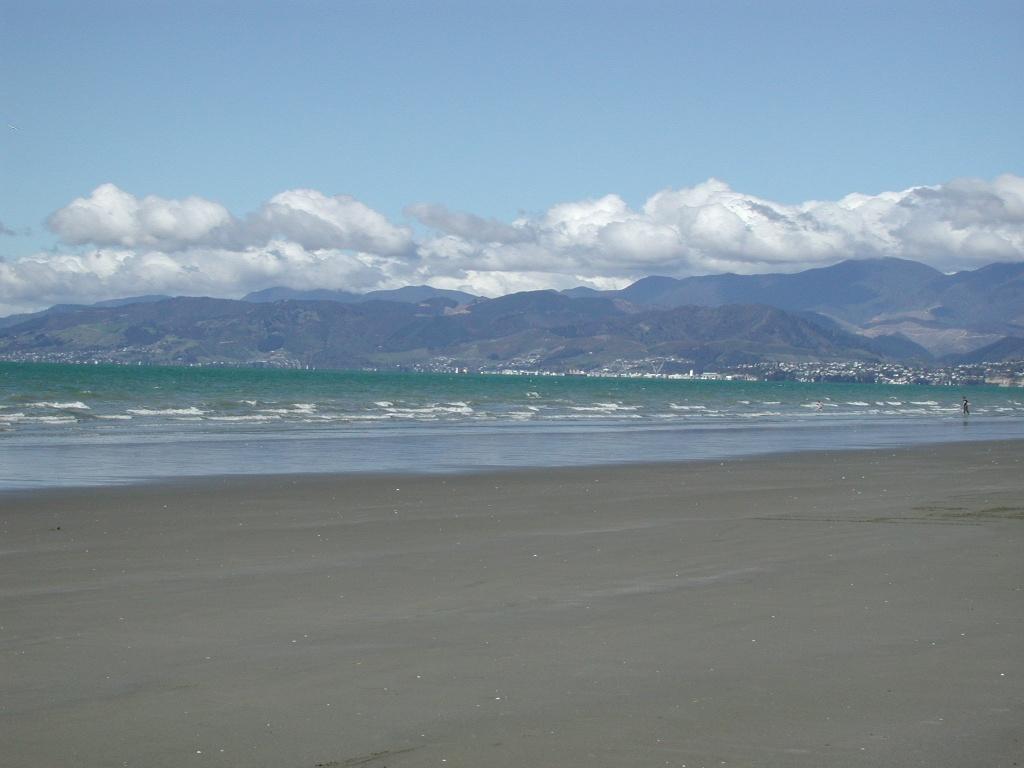 Area near Moturoa / Rabbit Island
Moturoa / Rabbit Island
Moturoa/Rabbit Island is a beach-and-forest day destination in Waimea Estuary, close to Richmond and linked to Māpua by a small passenger ferry. Its long sandy shore, picnic spaces and cycle tracks offer a quieter counterpoint to the cafés across the channel. This is a recreational reserve, not a resort village.
Get to know the placePhoto credits4
- Depicts: Queens Wharf (Wellington)QueensWharfFIFA2023 01. Author: L Maule. Credit: Own work. License: CC BY-SA 4.0 (https://creativecommons.org/licenses/by-sa/4.0). Source: https://commons.wikimedia.org/wiki/File:QueensWharfFIFA2023_01.jpgCropped to fit the display.
- Area image: Sunset, Days Bay Wharf — Area near Days Bay / Eastbourne.Sunset, Days Bay Wharf - panoramio. Author: DB Thats-Me. Credit: https://web.archive.org/web/20161011154457/http://www.panoramio.com/photo/4633431. License: CC BY-SA 3.0 (https://creativecommons.org/licenses/by-sa/3.0). Source: https://commons.wikimedia.org/wiki/File:Sunset,_Days_Bay_Wharf_-_panoramio.jpgCropped to fit the display.
- Depicts: Picton (Waitohi)2022-06-05 Picton, New Zealand. Author: Maxim75. Credit: Own work. License: CC BY 4.0 (https://creativecommons.org/licenses/by/4.0). Source: https://commons.wikimedia.org/wiki/File:2022-06-05_Picton,_New_Zealand.jpgCropped to fit the display.
- Area image: Beach on Rabbit Island near Nelson , with Nelson in the distance — Area near Moturoa / Rabbit IslandBeach on Rabbit Island near Nelson. Author: Pseudopanax at English Wikipedia. Credit: Own work. License: Public domain (https://creativecommons.org/publicdomain/mark/1.0/). Source: https://commons.wikimedia.org/wiki/File:Beach_on_Rabbit_Island_near_Nelson.jpg
