
Picton (Waitohi).
Picton, also known as Waitohi, opens onto the sheltered waterways and wooded hills of the Marlborough Sounds. Ferries make it a busy gateway between New Zealand’s main islands, but the foreshore, maritime museum and walking tracks give good reasons to stay beyond a connection.
Photo credits1
- Depicts: Picton (Waitohi)2022-06-05 Picton, New Zealand. Author: Maxim75. Credit: Own work. License: CC BY 4.0 (https://creativecommons.org/licenses/by/4.0). Source: https://commons.wikimedia.org/wiki/File:2022-06-05_Picton,_New_Zealand.jpgCropped to fit the display.
Make your way to Picton (Waitohi)
Choose a tool and your dates to check the options for your trip.
More ways to explore
- Country
- New Zealand
- Currency
- NZD
- Time zone
- Pacific/Auckland
Picton, also known as Waitohi, opens onto the sheltered waterways and wooded hills of the Marlborough Sounds. Ferries make it a busy gateway between New Zealand’s main islands, but the foreshore, maritime museum and walking tracks give good reasons to stay beyond a connection.
Use the town as a compact base for harbour strolls and a boat excursion into Queen Charlotte Sound/Tōtaranui. A longer walking holiday needs different planning: the Queen Charlotte Track extends far beyond Picton, and its boats, accommodation and private-land access must be arranged as a separate itinerary.
When to go
The Coastal Pacific is seasonal: its published operating period runs from September to April, with no Christmas Day service, rather than throughout winter. The Edwin Fox museum also uses shorter winter hours. Outdoor plans need weather flexibility in any month; Queen Charlotte Track clay can become slippery, especially in winter, and road access into the Sounds may be affected by severe weather.
Getting there
Cook Strait ferry check-in depends on the operator and whether you have a vehicle. Interislander foot passengers use Auckland Street, while vehicle access is via Kent Street to Lagoon Road. Bluebridge uses 1 Lagoon Road and offers a town shuttle. Sounds Air’s Picton Airport is at Koromiko, distinct from Blenheim Airport; arrange the airport connection in advance.
Getting around
Central Picton is convenient for walking between the foreshore, museum and shops. Water transport reaches Sounds destinations that roads do not, while Waikawa and more distant bays need additional walking time or a road transfer. Bluebridge’s shuttle links specified town stops with sailings; confirm the current collection time. Do not assume a train arrival leaves enough time for every ferry check-in.
Local food
On London Quay, Sisu combines New Zealand and Marlborough produce with Nordic influences in small sharing plates, alongside wines from smaller producers. Nearby Toastie Lords offers sourdough toasted sandwiches and coffee for a quicker meal. Choose a waterfront lunch before an excursion, but carry your own food for a walking day where there may be no café at the landing.
What to see
The Edwin Fox Maritime Museum preserves a nineteenth-century merchant ship in dry dock beside the waterfront. Its exhibits explore voyages involving migration, trade and troop transport, bringing an international story into a small harbour town. For a different perspective, Tirohanga Track climbs through bush to views across Picton, Waikawa and the Sounds. It is an uphill walk rather than a level waterfront circuit.
Towns and neighbourhoods
London Quay and the foreshore form the visitor-facing centre, with cafés, galleries and access to boat trips. Across the marina bridge, Victoria Domain leads into a greener coastal landscape. Waikawa Bay and its marina are a separate base farther along the shore; staying there changes the journey to central Picton and the inter-island terminals.
Coast and outdoors
Bob’s Bay and the Snout routes offer coastal walking from Victoria Domain. Farther out, Governors Bay has a short track down from Queen Charlotte Drive to the beach; reaching it first requires a road journey. For a larger outing, choose a day section of the Queen Charlotte Track and organise both boat connections. Meretoto/Ship Cove has no road access.
Where to stay
A central motel around Wellington Street or Devon Street keeps meals and town services close. The Auckland Street side is useful for the Interislander passenger terminal, but check the actual walking route from your property. Waikawa accommodation offers a marina or bay setting away from the centre. A lodge deeper in the Sounds is a separate stay requiring its own arrival arrangements.
Useful before you go
The Edwin Fox’s upstairs museum displays are not wheelchair accessible; reception can advise about assisted access alongside the ship. The Queen Charlotte Track crosses private land where an access pass is required, separate from accommodation arrangements. Check road and track alerts before departing, and match your booked pickup to the correct bay rather than treating all Sounds jetties as interchangeable.
Good to know before you go
Are Picton and Blenheim airports the same?
No. Picton Airport is at Koromiko south of town. Blenheim uses Marlborough Airport at Woodbourne; confirm the airport named on your ticket.
Do all ferry passengers check in on Auckland Street?
No. That is the Interislander foot-passenger location. Its vehicle check-in and Bluebridge’s terminal use Lagoon Road, with different instructions.
Can I walk the Queen Charlotte Track directly from central Picton?
Plan a transfer to your chosen start. Meretoto/Ship Cove is reached by boat, and other access points have their own road or boat connections.
Does the Coastal Pacific run in winter?
Its current published timetable is seasonal, September–April, excluding Christmas Day. Check operating dates before combining rail and ferry tickets.
Is the Edwin Fox museum entirely step-free?
No. Displays are upstairs and are not wheelchair accessible. Ask reception about access alongside the preserved ship.
Sources & references
These references support the guide. Confirm opening hours, access and travel services before you go.
- 01Destination Marlborough — Picton and Waikawa walking routes
- 02Destination Marlborough — town, foreshore and walking map; stable geography only
- 03Edwin Fox Maritime Museum — visitor access and upstairs limitation
- 04Edwin Fox — ship history and seasonal hours
- 05DOC — Queen Charlotte Track access, private-land pass and terrain
- 06DOC — Governors Bay access
- 07Destination Marlborough — Sisu food and wine
- 08Destination Marlborough — Toastie Lords
- 09Bluebridge — exact Picton terminal
- 10Bluebridge — specified town shuttle stops
- 11Interislander — distinct foot-passenger and vehicle access
- 12Sounds Air — separate Picton and Blenheim airports; advance shuttle booking
- 13Great Journeys New Zealand — seasonal Coastal Pacific timetable
- 14Visit Waitohi/Picton — accommodation locations
Where could the journey go next?
More guides in New Zealand. Compare the places and check actual connections before combining stops.

Wellington
Wellington brings a capital city’s museums and political landmarks into a compact harbour setting. Its appeal is easy to experience on foot: follow the waterfront, turn inland for coffee on Cuba Street, then climb or ride into the hills for a view back over the city and its busy water.
Get to know the place
Queens Wharf (Wellington)
Queens Wharf sits on Wellington’s central waterfront, where a harbour-ferry departure can become a full day of museums, seafood and walks beside the water. The East by West service connects this city landing with Days Bay on the eastern side of Wellington Harbour.
Get to know the place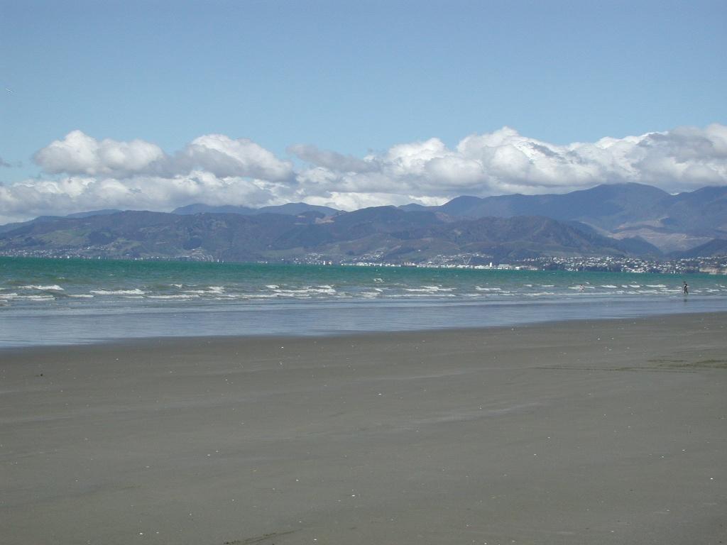 Area near Moturoa / Rabbit Island
Moturoa / Rabbit Island
Moturoa/Rabbit Island is a beach-and-forest day destination in Waimea Estuary, close to Richmond and linked to Māpua by a small passenger ferry. Its long sandy shore, picnic spaces and cycle tracks offer a quieter counterpoint to the cafés across the channel. This is a recreational reserve, not a resort village.
Get to know the place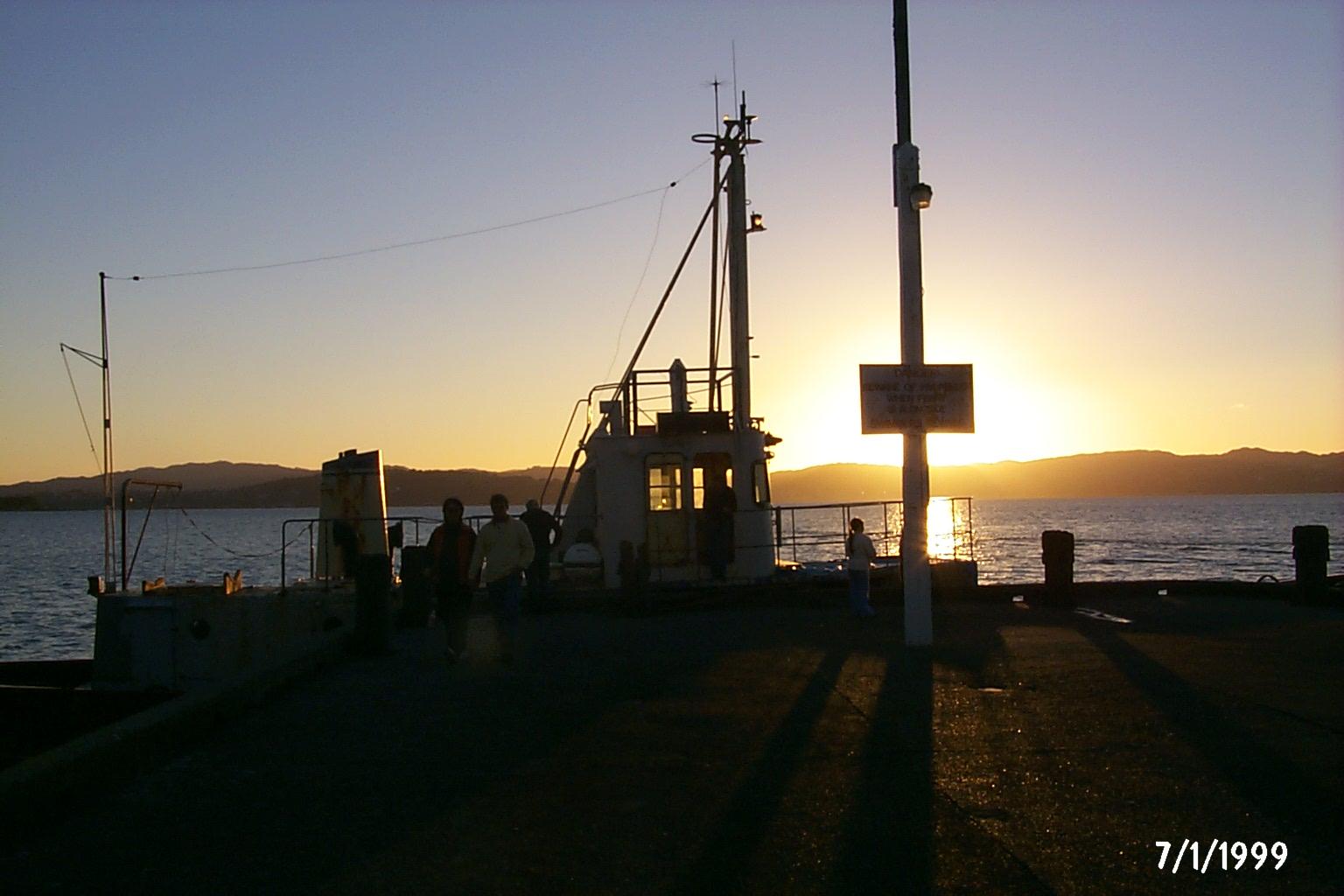 Area near Days Bay / Eastbourne
Days Bay / Eastbourne
Days Bay turns a Wellington harbour crossing into a beach-and-bush day. The wharf lands beside a sandy shore, with Williams Park behind and forest rising above the waterfront. Nearby Eastbourne adds a village centre, small shops and a longer coastal outing on the eastern side of the harbour.
Get to know the placePhoto credits4
- Depicts: WellingtonSeddon Statue in Parliament Grounds. Author: russellstreet. Credit: https://www.flickr.com/photos/russellstreet/4640549163/. License: CC BY-SA 2.0 (https://creativecommons.org/licenses/by-sa/2.0). Source: https://commons.wikimedia.org/wiki/File:Seddon_Statue_in_Parliament_Grounds.jpgCropped to fit the display.
- Depicts: Queens Wharf (Wellington)QueensWharfFIFA2023 01. Author: L Maule. Credit: Own work. License: CC BY-SA 4.0 (https://creativecommons.org/licenses/by-sa/4.0). Source: https://commons.wikimedia.org/wiki/File:QueensWharfFIFA2023_01.jpgCropped to fit the display.
- Area image: Beach on Rabbit Island near Nelson , with Nelson in the distance — Area near Moturoa / Rabbit IslandBeach on Rabbit Island near Nelson. Author: Pseudopanax at English Wikipedia. Credit: Own work. License: Public domain (https://creativecommons.org/publicdomain/mark/1.0/). Source: https://commons.wikimedia.org/wiki/File:Beach_on_Rabbit_Island_near_Nelson.jpg
- Area image: Sunset, Days Bay Wharf — Area near Days Bay / Eastbourne.Sunset, Days Bay Wharf - panoramio. Author: DB Thats-Me. Credit: https://web.archive.org/web/20161011154457/http://www.panoramio.com/photo/4633431. License: CC BY-SA 3.0 (https://creativecommons.org/licenses/by-sa/3.0). Source: https://commons.wikimedia.org/wiki/File:Sunset,_Days_Bay_Wharf_-_panoramio.jpgCropped to fit the display.
