
Waiheke Island.
Waiheke combines permanent island communities, sandy bays and a strong wine-and-food culture. Oneroa is the main visitor village; farther east, vineyards, rural roads and coastal reserves create a very different day from simply staying near the ferry.
Photo credits1
- Depicts: Waiheke IslandWaiheke Island Vineyard. Author: russellstreet. Credit: https://www.flickr.com/photos/russellstreet/6410271405/. License: CC BY-SA 2.0 (https://creativecommons.org/licenses/by-sa/2.0). Source: https://commons.wikimedia.org/wiki/File:Waiheke_Island_Vineyard.jpgCropped to fit the display.
Make your way to Waiheke Island
Choose a tool and your dates to check the options for your trip.
More ways to explore
- Country
- New Zealand
- Currency
- NZD
- Time zone
- Pacific/Auckland
Waiheke combines permanent island communities, sandy bays and a strong wine-and-food culture. Oneroa is the main visitor village; farther east, vineyards, rural roads and coastal reserves create a very different day from simply staying near the ferry.
Passenger ferries arrive at Matiatia, near Oneroa. SeaLink vehicle ferries use Kennedy Point, so arrival terminal determines your first bus, taxi or walking connection.
When to go
December–February is summer, with longer daylight for beaches and outdoor dining. A spring or autumn visit can mix coastal walks and vineyard stops, while winter calls for layers and flexible outdoor plans. Cellar-door and restaurant arrangements change with the season; Mudbrick specifically advises checking future opening hours. Reserve tables for busy weekends and holiday periods rather than assuming every venue accepts walk-ins.
Getting there
Passenger services from downtown Auckland to Matiatia include Fullers360 and Island Direct, with separate ticket arrangements. SeaLink carries vehicles and foot passengers to Kennedy Point from Half Moon Bay or Hamer Street, according to the chosen sailing. Auckland Airport arrivals need a ground transfer to the correct mainland terminal. Confirm the actual wharf on both sides before arranging a taxi or meeting a host.
Getting around
Buses, taxis, rental cars, walking, cycling and guided wine tours all work, but distances are larger than Oneroa’s centre suggests. Plan the connection from Matiatia or Kennedy Point before booking a distant beach or cellar door. The public bus network links major settlements and both ferry terminals, with routes and capacity varying through the day. Stony Batter and the Te Matuku area are outside normal public-bus coverage, so arrange suitable transport for those outings.
Local food
Casita Miro in Onetangi specialises in Spanish and wider Mediterranean sharing plates, paired with its vineyard wines and sherries. Mudbrick near Oneroa combines wine tasting and dining, with different spaces and seasonal hours. Ostend Market adds a more casual Saturday option for local food and handmade goods. Plan the return transport before a vineyard meal so the tasting does not dictate a rushed drive or ferry connection.
What to see
Browse contemporary work at Waiheke Community Art Gallery, then explore Oneroa’s village and beachfront. Farther east, Stony Batter has wartime gun emplacements and unusual rock formations. Its underground guided tours are currently closed during the operator transition, while the reserve and surrounding tracks remain open. Te Matuku adds a protected estuary landscape in the island’s southeast, distinct from the northern bathing beaches.
Towns and neighbourhoods
Oneroa gathers shops, galleries, cafés and visitor services near Matiatia. Onetangi is a beach-centred base with vineyards inland. Palm Beach offers a smaller coastal setting, while Ostend is useful for local shopping and the Saturday market. The rural eastern end, including Stony Batter and Te Matuku, needs a separate transport plan rather than an assumption that all attractions lie on the main bus routes.
Coast and outdoors
Oneroa and Little Oneroa can be linked along the shore at low tide, with a track over the hill as another approach. Palm Beach has picnic facilities and a playground. Onetangi’s long sandy shoreline offers more space for a beach walk. For a contrasting outing, view Te Matuku’s tidal habitat from suitable access points without crossing its soft mudflats.
Where to stay
Oneroa and Little Oneroa suit visitors wanting village food and beaches near the passenger-ferry side; local apartments and lodges offer several settings. Onetangi has self-contained beach accommodation, including Onetangi Beach Apartments near bus stops and restaurants. Palm Beach provides a quieter base. Check the actual slope, walking route and bus connection of the property rather than choosing from the beach name alone.
Useful before you go
Keep the two main ferry terminals separate in your plans, and allow time for the island road connection. At Te Matuku, fishing and collecting marine life are prohibited and dogs are not allowed; the mud can be dangerously soft, so do not walk across exposed flats. For Stony Batter, plan an above-ground visit only until the tunnel operator confirms reopening.
Good to know before you go
Do the vehicle and passenger ferries use the same terminal?
No. Downtown passenger services normally use Matiatia, while SeaLink’s vehicle service uses Kennedy Point. Plan the island connection accordingly.
Are Stony Batter’s tunnels open for guided tours?
They are currently closed during the operator transition. The historic reserve and surrounding walking tracks remain open.
Can I reach every eastern attraction on a public bus?
No. Stony Batter and Te Matuku are outside the ordinary bus network. Arrange transport rather than relying on a main-village bus.
Can I collect shellfish in Te Matuku Marine Reserve?
No. Fishing and collecting marine organisms are prohibited. Keep off fragile mudflats as well.
Can I walk between Oneroa and Little Oneroa at any tide?
The shoreline connection is for low tide. Use the over-hill track when the shore is not suitable.
Sources & references
These references support the guide. Confirm opening hours, access and travel services before you go.
- 01Auckland tourism — villages, beaches and Ostend Market
- 02DOC — island geography and eastern reserve locations
- 03Waiheke Community Art Gallery — visitor information
- 04DOC — Stony Batter above-ground reserve and no public transport
- 05Current Stony Batter operator — guided tunnels remain temporarily closed
- 06DOC — Te Matuku habitats, soft mud and reserve rules; old ferry reference excluded
- 07Casita Miro — Spanish/Mediterranean shared food
- 08Mudbrick — address, tasting and seasonal-hours advice
- 09Waiheke Wine Growers Association — Mudbrick and reservation advice
- 10SeaLink — distinct mainland and Kennedy Point terminals
- 11Auckland Transport — Fullers360 and Island Direct separate ticketing
- 12Tourism Waiheke — public bus coverage and connections
- 13Tourism Waiheke — accommodation locations
- 14Onetangi Beach Apartments — location and nearby services
- 15Tourism New Zealand — seasonal framework
Where could the journey go next?
More guides in New Zealand. Compare the places and check actual connections before combining stops.
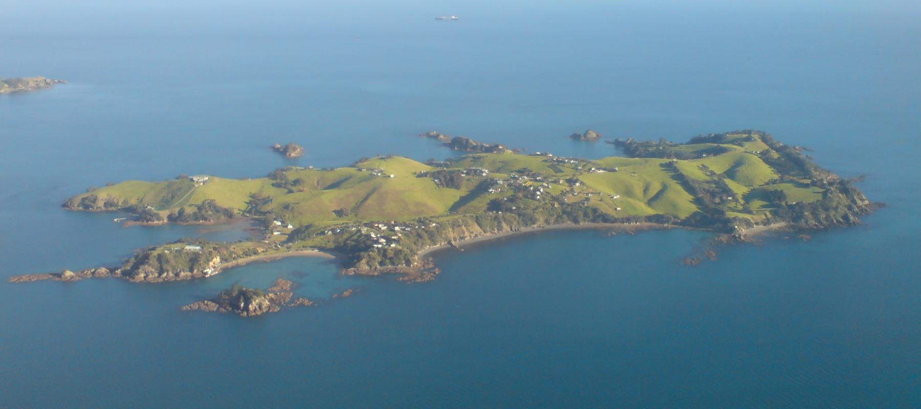
Rakino Island
Rakino’s appeal is low-key island life: coves, historic homes and walking rather than a dense visitor infrastructure. Its small community lives northeast of Motutapu, with no grid electricity or ordinary shopping street. Visitors need the same practical approach to supplies as residents.
Get to know the place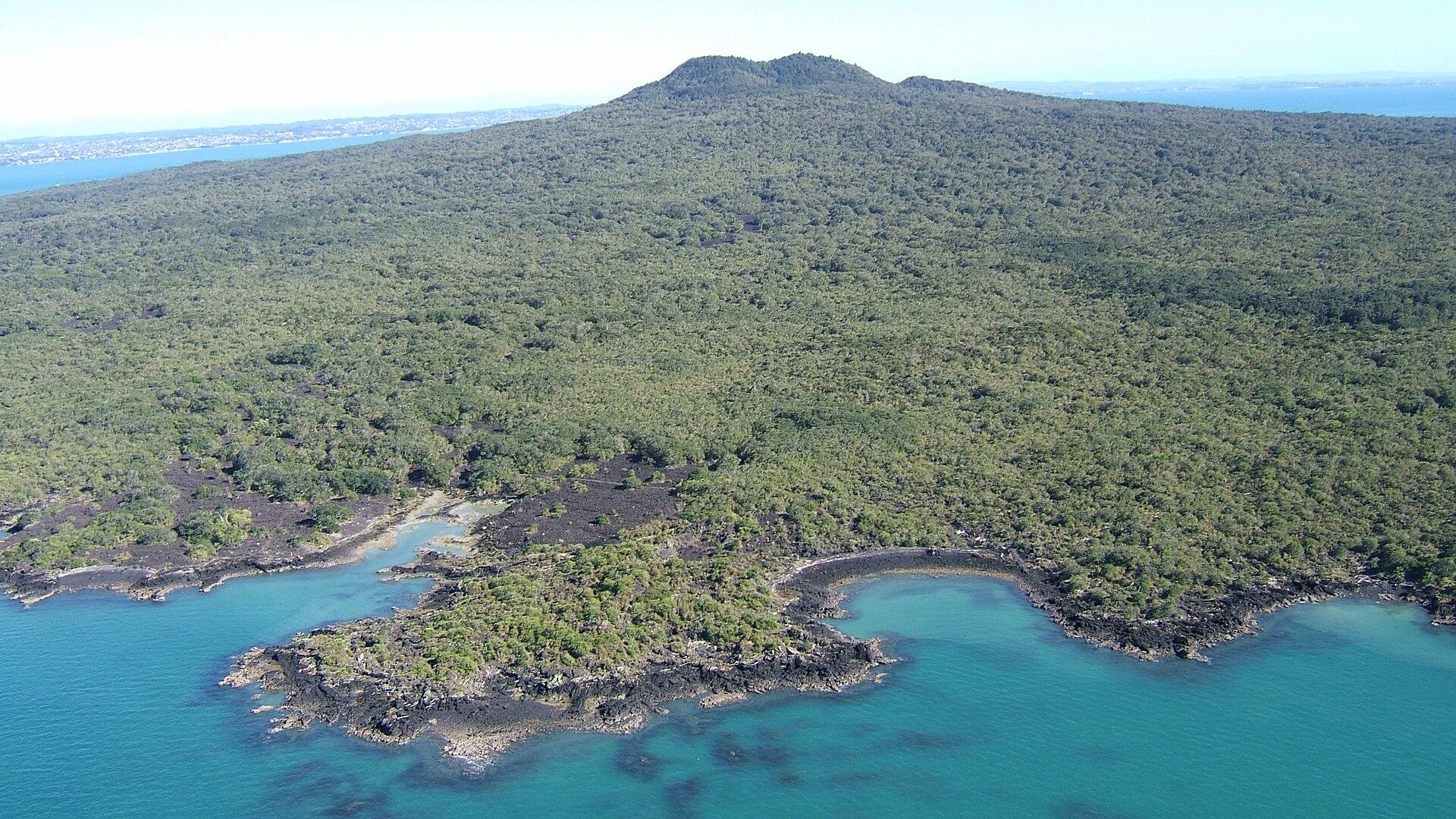
Rangitoto Island
Rangitoto brings together black lava fields, pōhutukawa forest and a summit overlooking Auckland and the Hauraki Gulf. The island experience is a self-contained walking day, with no shops or drinking-water supply to fall back on.
Get to know the place
Auckland
Auckland, or Tāmaki Makaurau, is the main urban gateway to the upper North Island. Its downtown waterfront, volcanic maunga, Māori and Pacific identity, and Hauraki Gulf islands make it more than a transit stop.
Get to know the place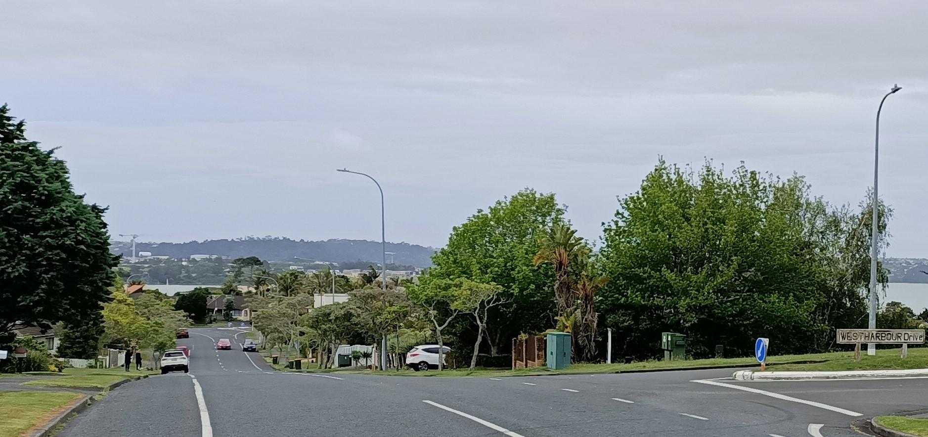
Auckland — West Harbour
West Harbour offers an upper-Waitematā outing built around a working recreational marina and coastal paths. The Auckland ferry arrives at Hobsonville Marina, formerly called Westpark Marina, where the boat-filled water and surrounding residential streets give the visit a quieter scale than the central-city waterfront.
Get to know the placePhoto credits4
- Depicts: Rakino IslandRakino Island From Above Southeast. Author: Ingolfson. Credit: Self-photographed. License: Public domain (https://creativecommons.org/publicdomain/mark/1.0/). Source: https://commons.wikimedia.org/wiki/File:Rakino_Island_From_Above_Southeast.jpg
- Depicts: Rangitoto IslandRangitoto09f. Author: Bruce Hayward. Credit: Own work. License: CC BY-SA 4.0 (https://creativecommons.org/licenses/by-sa/4.0). Source: https://commons.wikimedia.org/wiki/File:Rangitoto09f.jpgCropped to fit the display.
- Depicts: Auckland — West HarbourWest Harbour - 51655901100 - Cropped. Author: aklmuseumstaffwikipedia. Credit: https://www.flickr.com/photos/194100792@N06/51655901100/. License: CC BY 2.0 (https://creativecommons.org/licenses/by/2.0). Source: https://commons.wikimedia.org/wiki/File:West_Harbour_-_51655901100_-_Cropped.jpgCropped to fit the display.
