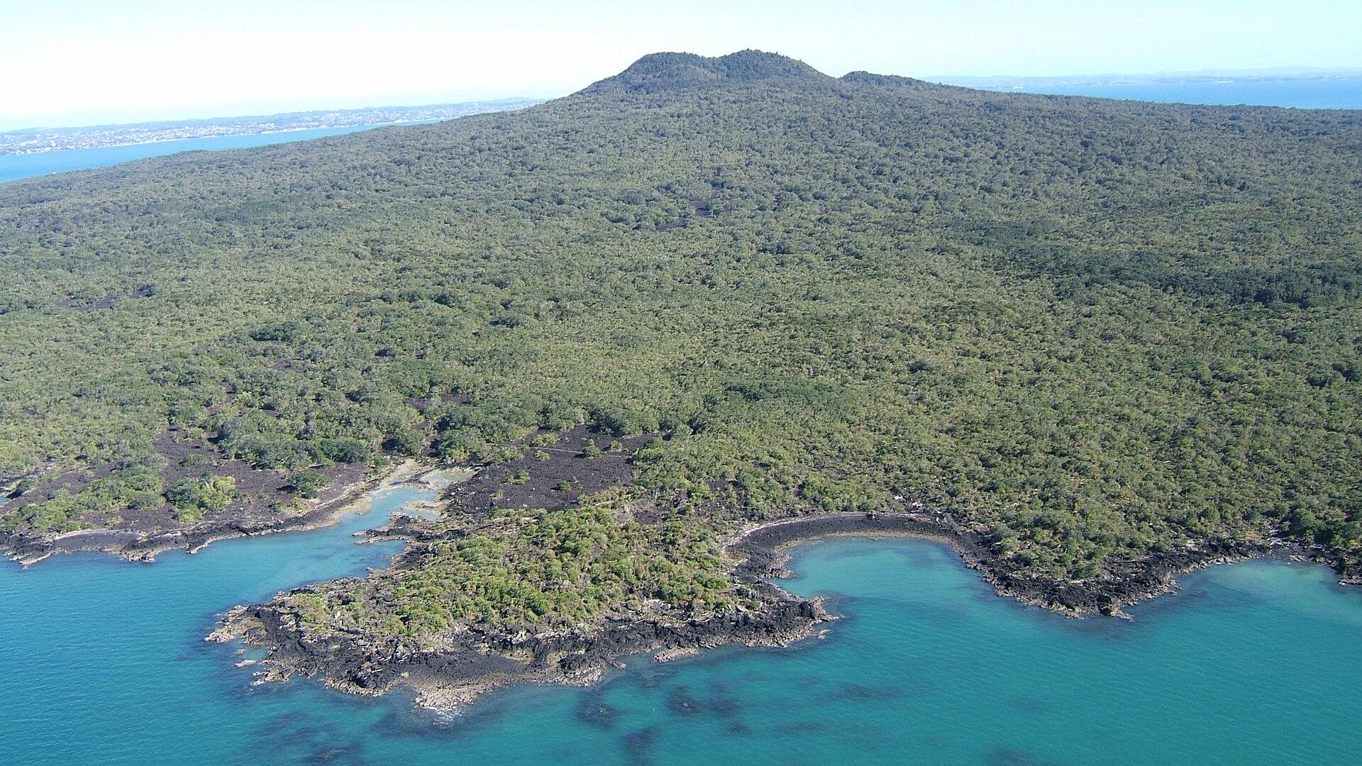
Rangitoto Island.
Rangitoto brings together black lava fields, pōhutukawa forest and a summit overlooking Auckland and the Hauraki Gulf. The island experience is a self-contained walking day, with no shops or drinking-water supply to fall back on.
Photo credits1
- Depicts: Rangitoto IslandRangitoto09f. Author: Bruce Hayward. Credit: Own work. License: CC BY-SA 4.0 (https://creativecommons.org/licenses/by-sa/4.0). Source: https://commons.wikimedia.org/wiki/File:Rangitoto09f.jpgCropped to fit the display.
Make your way to Rangitoto Island
Choose a tool and your dates to check the options for your trip.
More ways to explore
- Country
- New Zealand
- Currency
- NZD
- Time zone
- Pacific/Auckland
Rangitoto brings together black lava fields, pōhutukawa forest and a summit overlooking Auckland and the Hauraki Gulf. The island experience is a self-contained walking day, with no shops or drinking-water supply to fall back on.
Combine it with neighbouring Motutapu only if the ferry and walking connections fit your plans. Keep the volcanic island separate from downtown Auckland when organising meals, transport and overnight stays: being visible from the city does not make its facilities urban.
When to go
Summer can be very hot on the black volcanic surface, even when the harbour breeze feels mild. Pōhutukawa flowering usually draws attention in December and early January. Wet and windy weather remains possible throughout the year. Choose sturdy shoes and sun protection, carry a waterproof layer, and adjust the length of your walk to conditions and the return sailing.
Getting there
Fullers360 operates passenger ferries from downtown Auckland, with selected services calling at Devonport. Check the dated departure, pier and island landing with the operator. Rangitoto Wharf is the normal public landing, but conditions can require a change. Water taxis, private boats and guided sea-kayaking trips are other approaches; independent kayaking is for experienced paddlers with a suitable plan.
Getting around
Walking is the basic way to explore. The summit route is a steady climb on rough, sometimes loose volcanic ground, and side trips extend the outing. The inland and coastal routes to Islington Bay differ considerably in length. DOC advises against the summit-to-Islington route for ordinary ferry day-trippers because it leaves little time to walk back to Rangitoto Wharf.
Local food
Bring a packed lunch, snacks and all the drinking water you need. There is no island café or grocery shop. Prepare food before leaving Auckland or Devonport and use sealed containers that keep pests out. A mainland meal after the return ferry is more practical than expecting catering beside the summit or a resupply at Islington Bay.
What to see
Climb toward the summit for harbour panoramas, with a separate crater-rim loop and lava-cave side track if time permits. A torch is essential in the dark, uneven caves. The surviving fire command post recalls the island’s military role. Near the landing, Museum Bach 38 shows another history: the modest holiday homes and domestic life of the island community.
Towns and neighbourhoods
Rangitoto Wharf is the main public-ferry landing on the southern shore. Islington Bay lies on the eastern side near the causeway to Motutapu, while McKenzie Bay and its beacon are on a different coastal route. The forested volcanic summit rises inland. These separate areas need walking time between them; a departure from one wharf is not interchangeable with a pickup at another.
Coast and outdoors
McKenzie Bay has one of Rangitoto’s natural sandy beaches and makes a picnic destination for a longer outing. The coastal walk toward Islington Bay crosses rough lava and passes traces of quarrying, holiday homes and wartime infrastructure. It is a substantial one-way walk, so decide the return or onward transport before setting off rather than adding it casually after the summit.
Where to stay
Historic baches provide a small, bookable overnight option: Bach 52 is near Rangitoto Wharf, while Baches 78 and 114 are at Islington Bay. They are restored holiday houses with off-grid arrangements, not hotels. Read the individual accommodation instructions and organise transport to the correct side. Otherwise stay in Auckland or Devonport and return the same day; camping on Rangitoto is prohibited.
Useful before you go
Clean shoes and inspect zipped bags for insects, seeds and other pests before boarding; remove every item of rubbish when you leave. No dogs are allowed, and the island has a total fire ban. Stay away from the closed controlled-mine base, where DOC reports asbestos. Keep to permitted paths and treat military ruins as historic sites rather than unrestricted places to explore.
Good to know before you go
Can I buy lunch or refill drinking water on Rangitoto?
No. Bring your food and drinking water from the mainland in suitable sealed containers.
Can I stay overnight without camping?
Yes, if you reserve one of the historic baches and arrange suitable ferry or boat transport. Camping itself is not permitted.
Is Islington Bay the same landing as Rangitoto Wharf?
No. They are separate wharves connected by walking routes. Confirm your actual arrival and return point.
Can I walk across to Motutapu and simply catch any ferry home?
Do not assume that. Plan the full walking time and a confirmed return departure from the relevant landing.
Are all the wartime structures open to visitors?
No. The controlled-mine base is closed because of asbestos, and the former military camp below the summit is unsafe and closed. Follow DOC signs.
Sources & references
These references support the guide. Confirm opening hours, access and travel services before you go.
- 01DOC — island geography, no camping and controlled-mine-base closure; conflicting generic no-accommodation line excluded
- 02DOC — summit terrain, cave precautions and seasonal conditions
- 03DOC — coastal and inland routes and day-trip limitations
- 04DOC — forest, wildlife and Motutapu causeway
- 05DOC — surviving military structures and closed unsafe camp
- 06Rangitoto Island Historic Conservation Trust — Museum Bach
- 07Rangitoto trust — three named overnight baches
- 08Rangitoto trust — travel and self-sufficiency
- 09Fullers360 — passenger service and island visit
- 10Fullers360 — dated tickets and food requirements
- 11Fullers360 — pest checks and sealed food
Where could the journey go next?
More guides in New Zealand. Compare the places and check actual connections before combining stops.
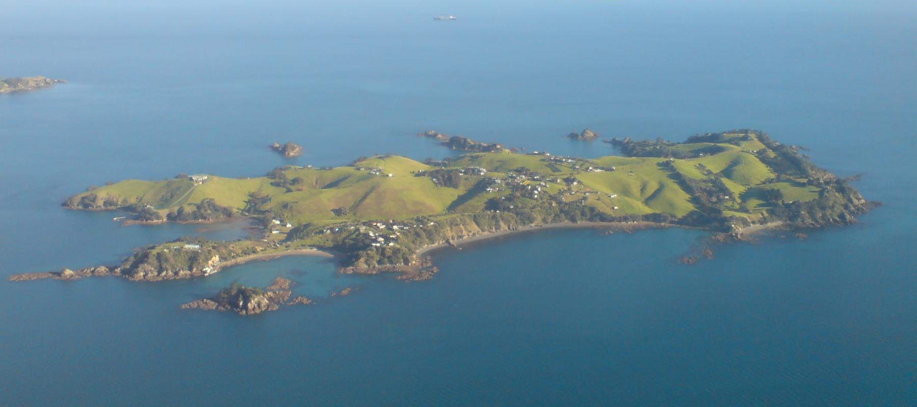
Rakino Island
Rakino’s appeal is low-key island life: coves, historic homes and walking rather than a dense visitor infrastructure. Its small community lives northeast of Motutapu, with no grid electricity or ordinary shopping street. Visitors need the same practical approach to supplies as residents.
Get to know the place
Auckland
Auckland, or Tāmaki Makaurau, is the main urban gateway to the upper North Island. Its downtown waterfront, volcanic maunga, Māori and Pacific identity, and Hauraki Gulf islands make it more than a transit stop.
Get to know the place
Waiheke Island
Waiheke combines permanent island communities, sandy bays and a strong wine-and-food culture. Oneroa is the main visitor village; farther east, vineyards, rural roads and coastal reserves create a very different day from simply staying near the ferry.
Get to know the place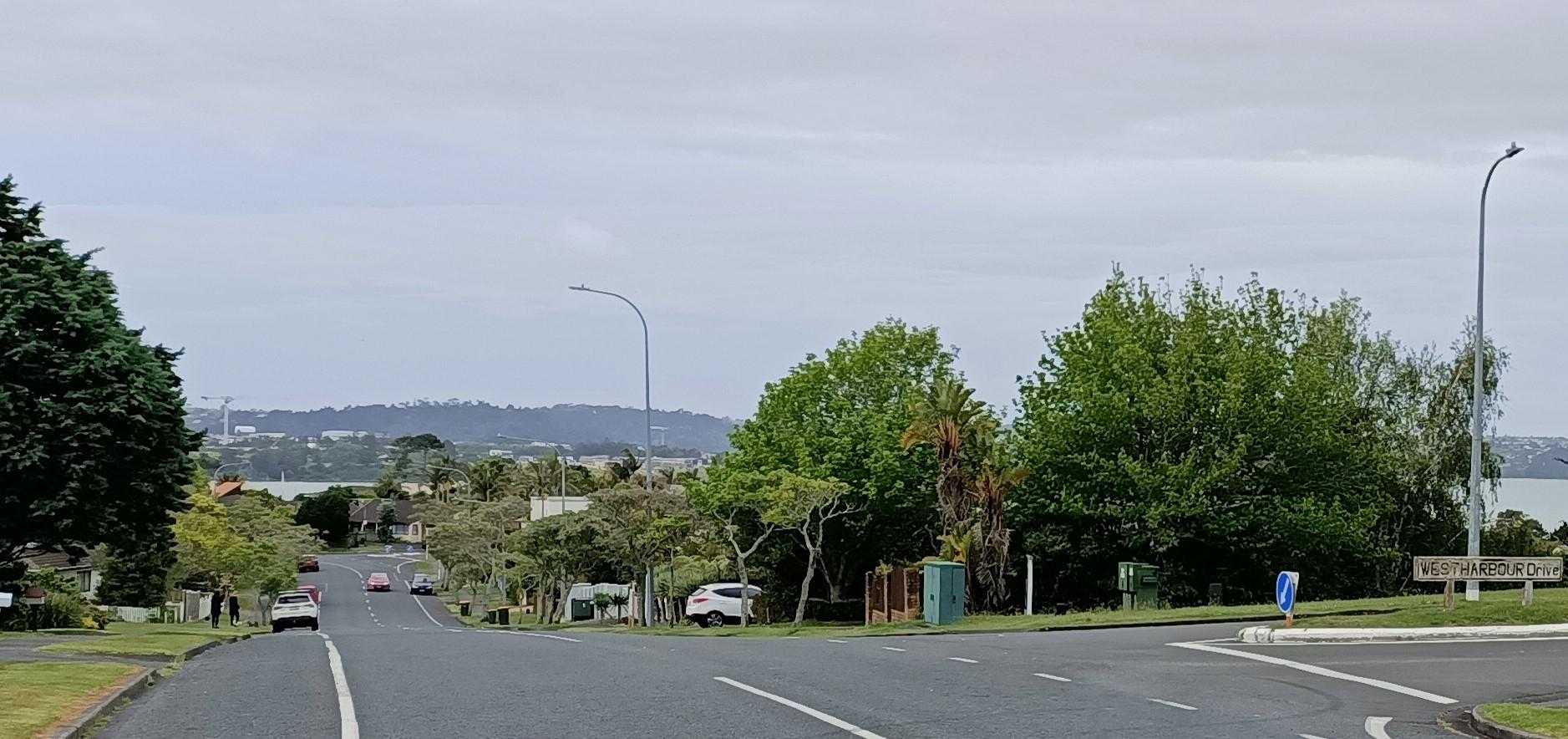
Auckland — West Harbour
West Harbour offers an upper-Waitematā outing built around a working recreational marina and coastal paths. The Auckland ferry arrives at Hobsonville Marina, formerly called Westpark Marina, where the boat-filled water and surrounding residential streets give the visit a quieter scale than the central-city waterfront.
Get to know the placePhoto credits4
- Depicts: Rakino IslandRakino Island From Above Southeast. Author: Ingolfson. Credit: Self-photographed. License: Public domain (https://creativecommons.org/publicdomain/mark/1.0/). Source: https://commons.wikimedia.org/wiki/File:Rakino_Island_From_Above_Southeast.jpg
- Depicts: Waiheke IslandWaiheke Island Vineyard. Author: russellstreet. Credit: https://www.flickr.com/photos/russellstreet/6410271405/. License: CC BY-SA 2.0 (https://creativecommons.org/licenses/by-sa/2.0). Source: https://commons.wikimedia.org/wiki/File:Waiheke_Island_Vineyard.jpgCropped to fit the display.
- Depicts: Auckland — West HarbourWest Harbour - 51655901100 - Cropped. Author: aklmuseumstaffwikipedia. Credit: https://www.flickr.com/photos/194100792@N06/51655901100/. License: CC BY 2.0 (https://creativecommons.org/licenses/by/2.0). Source: https://commons.wikimedia.org/wiki/File:West_Harbour_-_51655901100_-_Cropped.jpgCropped to fit the display.
