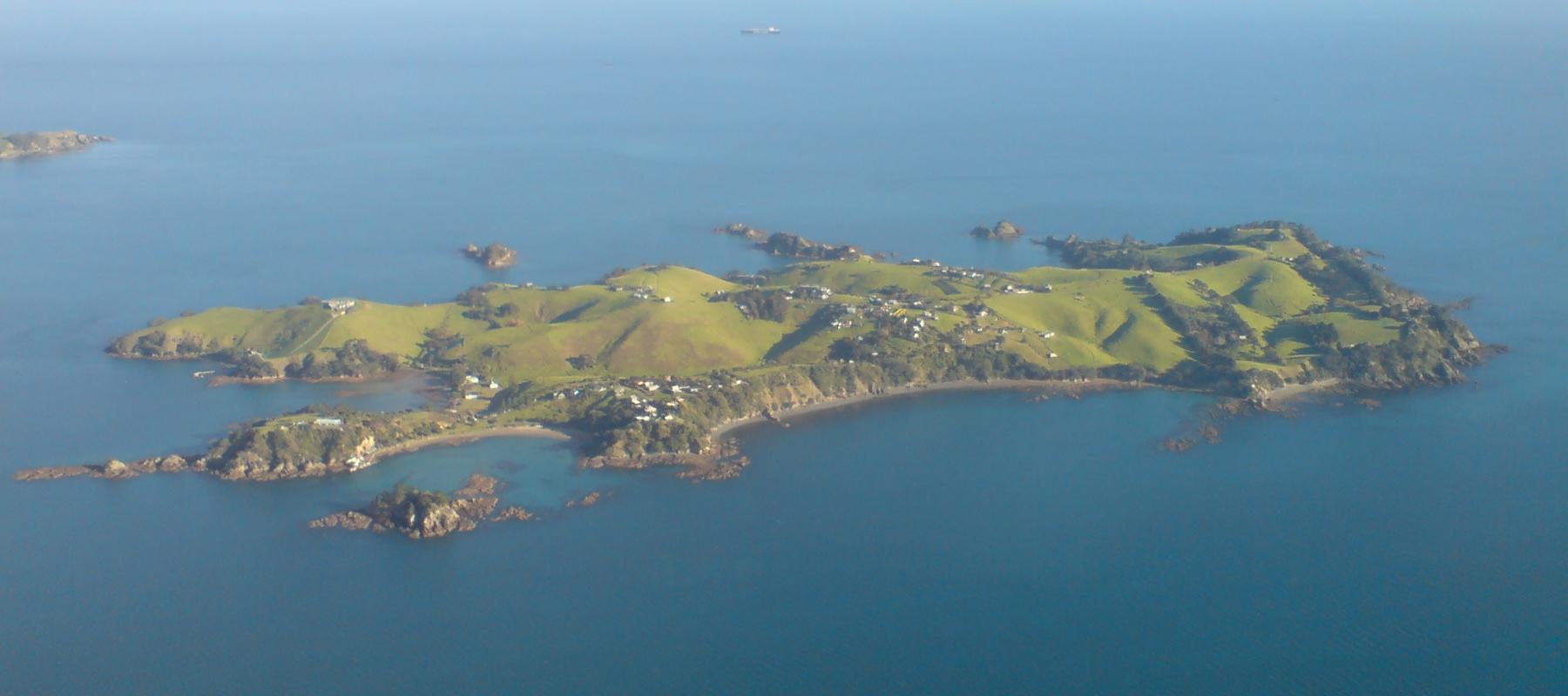
Rakino Island.
Rakino’s appeal is low-key island life: coves, historic homes and walking rather than a dense visitor infrastructure. Its small community lives northeast of Motutapu, with no grid electricity or ordinary shopping street. Visitors need the same practical approach to supplies as residents.
Photo credits1
- Depicts: Rakino IslandRakino Island From Above Southeast. Author: Ingolfson. Credit: Self-photographed. License: Public domain (https://creativecommons.org/publicdomain/mark/1.0/). Source: https://commons.wikimedia.org/wiki/File:Rakino_Island_From_Above_Southeast.jpg
Make your way to Rakino Island
Choose a tool and your dates to check the options for your trip.
More ways to explore
- Country
- New Zealand
- Currency
- NZD
- Time zone
- Pacific/Auckland
Rakino’s appeal is low-key island life: coves, historic homes and walking rather than a dense visitor infrastructure. Its small community lives northeast of Motutapu, with no grid electricity or ordinary shopping street. Visitors need the same practical approach to supplies as residents.
Sandy Bay and Home Bay are different landing areas, served by different types of boat. Plan a self-sufficient day or a reserved overnight stay around an actual return sailing, rather than assuming the frequent connections of Auckland’s larger island destinations.
When to go
December–February brings summer conditions for beach visits, but the boat schedule is still limited. Belaire adds some sailings around peak periods and public holidays; that does not guarantee a convenient same-day outing every day. SeaLink’s vehicle and freight calls are much less frequent, generally monthly in summer with occasional winter services. Choose travel dates around the transport that fits your visit.
Getting there
Belaire’s passenger service uses downtown Auckland’s Pier 6 on Queens Wharf and lands at Sandy Bay. Selected sailings include Bayswater. For vehicles or substantial freight, discuss SeaLink’s separate dated schedule with its team; mainland departure points can differ by sailing. Home Bay is the freight landing, not an alternative name for the passenger wharf.
Getting around
Expect a walking visit on quiet island roads, with slopes between bays. The wharf-to-beach route needs time, especially when carrying picnic supplies or overnight luggage. Do not expect a bus waiting at Sandy Bay. Private boat charters can provide a different arrival arrangement, but confirm the actual landing and return rather than treating a charter itinerary as a public timetable.
Local food
Woody’s Pizzeria is listed by Auckland’s tourism organisation as a summer and weekend option. Confirm opening before relying on it for lunch. Otherwise organise the visit around food and drinking water brought from the mainland. For an overnight stay, ask your host what cooking equipment and water arrangements are provided, since a grocery run is not an island option.
What to see
Woody Bay is a natural focus for a slow beach day. Home Bay adds a historical dimension through Rakino’s connections with George Grey and Albert Sanford: Sanford established his fishing business from the island. The central telephone box recalls earlier island communications. Enjoy the landscape and community history from public access routes; historic houses are not automatically visitor attractions with open interiors.
Towns and neighbourhoods
Sandy Bay has the public passenger wharf on the island’s southwestern side. Adjacent Home Bay has the freight landing used by barges. Inland roads connect a scattered settlement of holiday homes and permanent households rather than a compact village centre. Most land is private, so distinguish a public road or reserve from a tempting shortcut across somebody’s property.
Coast and outdoors
Woody Bay offers sand and pōhutukawa shade. The shoreline connection to West Bay depends on low tide; check the return before walking around rocks. Sandy Bay is also a working arrival point, so keep clear of vessel movements and loading. A quiet-looking cove does not remove the need to assess the day’s water conditions and supervise children.
Where to stay
Accommodation is limited and must be arranged in advance. The community website lists privately offered holiday stays, including a cottage on Ocean View Crescent; confirm the current dates and facilities directly. Ask your host about the walk or collection from your specific landing. There are no public campsites to use as a fallback if the return ferry is missed.
Useful before you go
Pack for the island’s pest-free requirements and keep food and luggage securely closed. Rakino’s passenger wharf is not wheelchair accessible; discuss assistance needs with Belaire before travel. Respect household water and energy arrangements, and plan how to remove your own picnic rubbish. The council identifies effective waste handling as important to keeping the island free of introduced animal pests.
Good to know before you go
Are the passenger and vehicle ferries interchangeable?
No. They use different island landings and very different schedules. Arrange the service that matches your passengers, vehicle or freight.
Can I count on a daily passenger ferry?
No. Belaire publishes a limited dated schedule, with selected extra services. Check the outward and return together.
Can I buy groceries on Rakino?
No. Bring provisions and water. Treat the seasonal pizzeria as an additional option only after confirming opening.
Can I arrive with a tent and find a campsite?
No public campsites are available. Arrange accommodation before travelling or choose a workable day return.
Is the walk from Woody Bay to West Bay usable at high tide?
The shoreline route is described for low tide. Check conditions and your return window rather than assuming continuous access.
Sources & references
These references support the guide. Confirm opening hours, access and travel services before you go.
- 01Auckland tourism — beaches, low-tide coast and seasonal pizzeria; general vehicle frequency superseded by SeaLink
- 02Rakino Ratepayers Association — island history, private land and separate wharves
- 03Rakino community — limited accommodation, provisions and no campsites
- 04Rakino community — local cottage listing; prices and availability not assumed
- 05Belaire — actual Sandy Bay terminal, Pier 6 and accessibility
- 06SeaLink — infrequent vehicle/freight service and varying mainland departure points
- 07Daily Boats — island roads, walking and private land; no navigational or fishing advice imported
- 08Riverhead Ferry — private charter versus public service and walking visit
- 09Auckland Council — island household infrastructure and waste/biosecurity context
- 10Tourism New Zealand — summer season
Where could the journey go next?
More guides in New Zealand. Compare the places and check actual connections before combining stops.
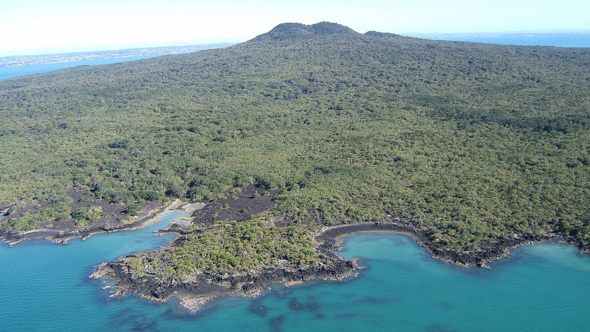
Rangitoto Island
Rangitoto brings together black lava fields, pōhutukawa forest and a summit overlooking Auckland and the Hauraki Gulf. The island experience is a self-contained walking day, with no shops or drinking-water supply to fall back on.
Get to know the place
Waiheke Island
Waiheke combines permanent island communities, sandy bays and a strong wine-and-food culture. Oneroa is the main visitor village; farther east, vineyards, rural roads and coastal reserves create a very different day from simply staying near the ferry.
Get to know the place
Auckland
Auckland, or Tāmaki Makaurau, is the main urban gateway to the upper North Island. Its downtown waterfront, volcanic maunga, Māori and Pacific identity, and Hauraki Gulf islands make it more than a transit stop.
Get to know the place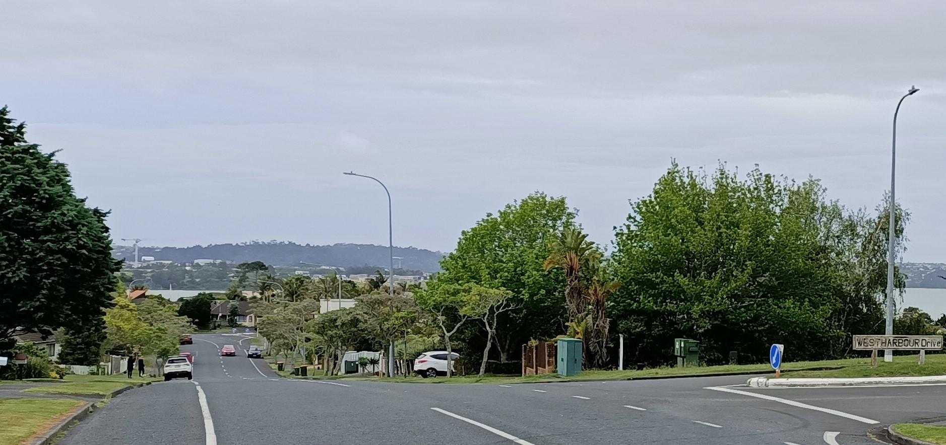
Auckland — West Harbour
West Harbour offers an upper-Waitematā outing built around a working recreational marina and coastal paths. The Auckland ferry arrives at Hobsonville Marina, formerly called Westpark Marina, where the boat-filled water and surrounding residential streets give the visit a quieter scale than the central-city waterfront.
Get to know the placePhoto credits4
- Depicts: Rangitoto IslandRangitoto09f. Author: Bruce Hayward. Credit: Own work. License: CC BY-SA 4.0 (https://creativecommons.org/licenses/by-sa/4.0). Source: https://commons.wikimedia.org/wiki/File:Rangitoto09f.jpgCropped to fit the display.
- Depicts: Waiheke IslandWaiheke Island Vineyard. Author: russellstreet. Credit: https://www.flickr.com/photos/russellstreet/6410271405/. License: CC BY-SA 2.0 (https://creativecommons.org/licenses/by-sa/2.0). Source: https://commons.wikimedia.org/wiki/File:Waiheke_Island_Vineyard.jpgCropped to fit the display.
- Depicts: Auckland — West HarbourWest Harbour - 51655901100 - Cropped. Author: aklmuseumstaffwikipedia. Credit: https://www.flickr.com/photos/194100792@N06/51655901100/. License: CC BY 2.0 (https://creativecommons.org/licenses/by/2.0). Source: https://commons.wikimedia.org/wiki/File:West_Harbour_-_51655901100_-_Cropped.jpgCropped to fit the display.
