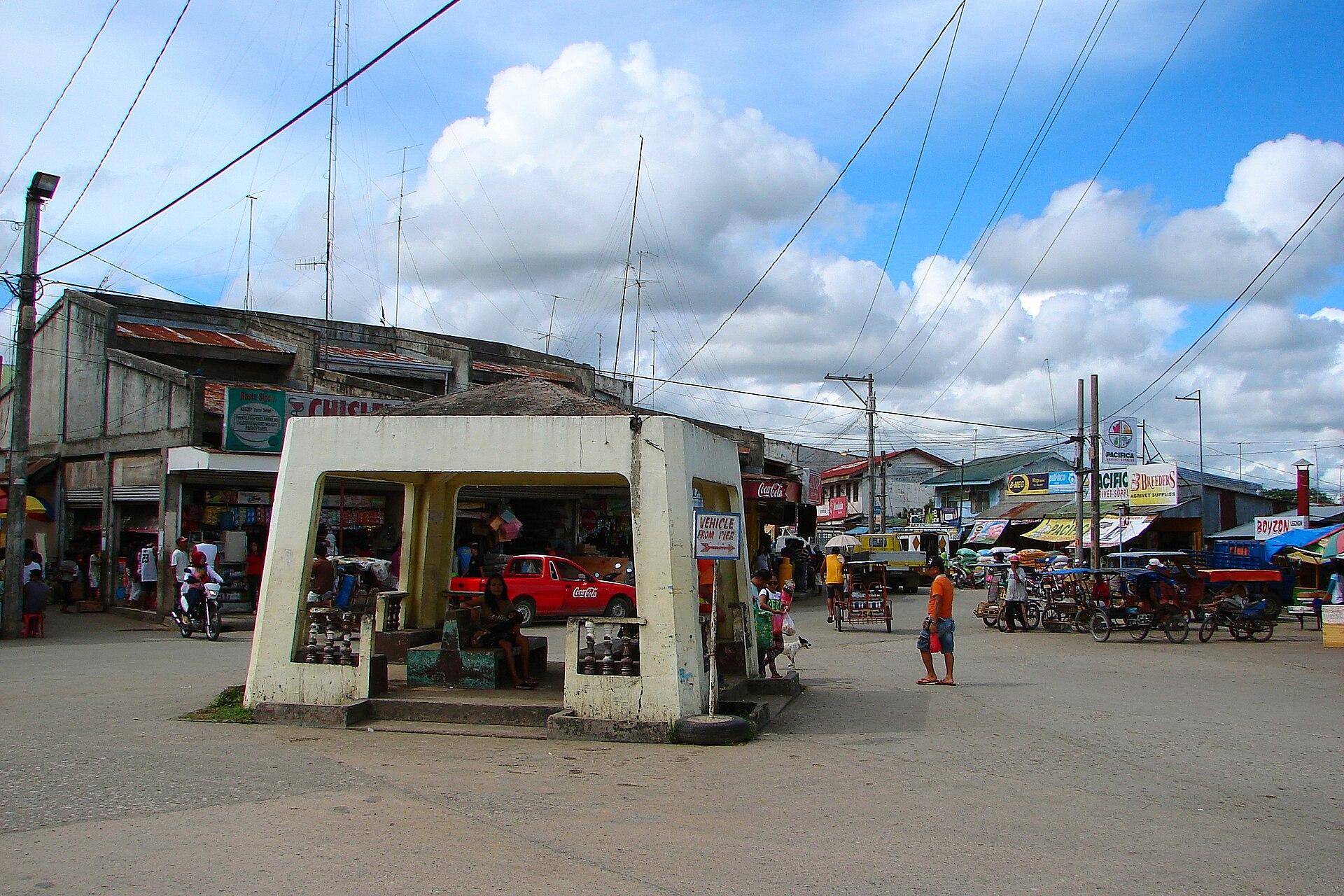
Ubay.
Ubay is a working port and agricultural centre in northeastern Bohol. Its character comes from fields, livestock and fisheries as much as the waterfront, making it an interesting stop for travellers who want to understand the island beyond its southern beach resorts.
Photo credits1
- Depicts: UbayUbay Bohol 2. Author: P199. Credit: Own work. License: CC BY-SA 3.0 (https://creativecommons.org/licenses/by-sa/3.0). Source: https://commons.wikimedia.org/wiki/File:Ubay_Bohol_2.JPGCropped to fit the display.
Make your way to Ubay
Choose a tool and your dates to check the options for your trip.
More ways to explore
- Country
- Philippines
- Currency
- PHP
- Time zone
- Asia/Manila
Ubay is a working port and agricultural centre in northeastern Bohol. Its character comes from fields, livestock and fisheries as much as the waterfront, making it an interesting stop for travellers who want to understand the island beyond its southern beach resorts.
Build a visit around one confirmed farm or coastal activity, with the town as a practical base. The large municipality contains several distinct research sites and barangays. A generic Ubay address is not enough to identify a farm entrance, beach property or ferry meeting point.
When to go
Farm visits are most useful when staff and activities are available, so choose the date with the host rather than simply arriving at the gate. Heat and rain affect outdoor comfort, and sea conditions affect onward travel to Leyte. PAGASA’s broad national seasons do not guarantee a dry field or a calm crossing; keep a weather margin and an alternative town-based day.
Getting there
Ubay has sea links across towards Leyte. Peter’s Dive Resort’s own guest directions distinguish journeys through Bato and Hilongos and explicitly ask travellers to reconfirm with the shipping operators. Use those as route-planning leads, not a guaranteed timetable. If coming from Bohol-Panglao Airport or Tagbilaran, allow a substantial road journey across Bohol before any sea connection.
Getting around
For intertown travel, check buses or V-hire vans; tricycles suit shorter local movements. Give drivers the barangay and facility name and confirm the return arrangement before entering a rural site. A research station directory can identify an institution without specifying its visitor gate. For a ferry transfer, use the terminal on the ticket rather than asking only for the nearest waterfront.
Local food
Ubay’s dairy tradition is a useful local food introduction. The provincial tourism inventory identifies fresh milk and Chocobao among the Philippine Carabao Center’s products at Lomangog, while the tourism office includes a dairy-farm stop in its northern route. Ask which products are available and how they must be stored for your onward journey. A tasting or purchase does not automatically include milking or a farm tour.
What to see
Lomangog is the location of Ubay Stock Farm and the Agri Park FITS Center listed by the provincial planning office. The Department of Agriculture separately identifies the Bohol Experiment Station at Gabi and the Soil and Water research centre at Calanggaman. These are working agricultural facilities. Ask for an arranged educational visit rather than treating government research land as an unrestricted park.
Towns and neighbourhoods
Use Poblacion for a town-centre reference, then distinguish Lomangog’s agricultural sites from the coast at Sinandigan. Gabi and Calanggaman are separate destinations even though all appear under Ubay in institutional directories. A sensible outing groups nearby stops after confirming their actual entrances; collecting several “Ubay” map labels can otherwise create an unnecessarily scattered day.
Coast and outdoors
Sinandigan offers a coastal counterpart to the inland farms, with mangrove restoration and giant-clam conservation recorded in the provincial tourism inventory. Ask the facility or local tourism contact what can be visited and under whose supervision. A hatchery or sanctuary is not a swimming attraction by default. Keep hands away from animals and equipment, and leave a nature visit flexible around working operations.
Where to stay
Poblacion is the practical search area when you need town services and an onward departure. Sinandigan suits a coastal stay, but confirm road access, meals and pickup rather than assuming it is beside the town port. The provincial inventory also records accommodation in Bood and Pangpang. Compare actual addresses and current facilities before choosing a room from a municipality-wide result.
Useful before you go
Confirm which institution is hosting you: the stock farm, carabao centre and fisheries facilities have different responsibilities. Follow staff directions about livestock, sanitation and restricted areas; bring suitable footwear for outdoor ground. Carry the agreed contact and return details offline. Keep transport, dairy purchases and a guided visit separately specified so a promising itinerary does not become an unconfirmed assumption.
Good to know before you go
Is Ubay only a ferry terminal?
No. It is a large northeastern municipality with agricultural research, dairy production and coastal communities.
Can I enter the stock farm without arranging a visit?
Do not assume so. Contact the relevant facility to establish visitor access, timing and supervision.
Is Sinandigan the same place as Lomangog?
No. Sinandigan is a coastal locality; Lomangog is associated with the stock farm and carabao centre.
Which Leyte port should I use?
Check the exact sailing. Guest directions describe both Bato and Hilongos corridors, and they are different arrival points.
Sources & references
These references support the guide. Confirm opening hours, access and travel services before you go.
- 01Bohol Province: Ubay northeastern location and farming, milling and fishing
- 02Department of Agriculture: working research stations at Lomangog, Gabi and Calanggaman
- 03Bohol planning office: Ubay Agri Park FITS Center at Lomangog
- 04Bohol Tourism: Ubay dairy-farm component, separate from Talibon
- 05Bohol 2025 tourism profile: Ubay locality-specific dairy, coastal and accommodation inventory
- 06Peter’s Dive Resort: first-party guest directions from Ubay through Bato or Hilongos, with operator reconfirmation required
- 07Bohol Tourism: road transport and fare arrangements
- 08PAGASA: tropical maritime climate and rainfall variation
Where could the journey go next?
More guides in Philippines. Compare the places and check actual connections before combining stops.

Getafe
Getafe, also written Jetafe, is a port town on Bohol’s northern coast with fishing communities, small islands and extensive mangroves. It offers a different introduction to the province from the southern capital: the interest here lies in the shallow coastal landscape and the people who work with it.
Get to know the place
Maasin
Maasin is a coastal city in Southern Leyte where religious landmarks rise from the centre into wooded hills. The cathedral and plaza provide an easy introduction, while hilltop shrines turn a visit into a sequence of views, stairways and quiet places of worship.
Get to know the place
Bato, Leyte
Bato is a ferry town on Leyte’s western side, useful for journeys between the island and Bohol. Its port is part of a working coastal municipality, with parish life, local food stops and offshore communities shaped by fishing and seaweed cultivation.
Get to know the place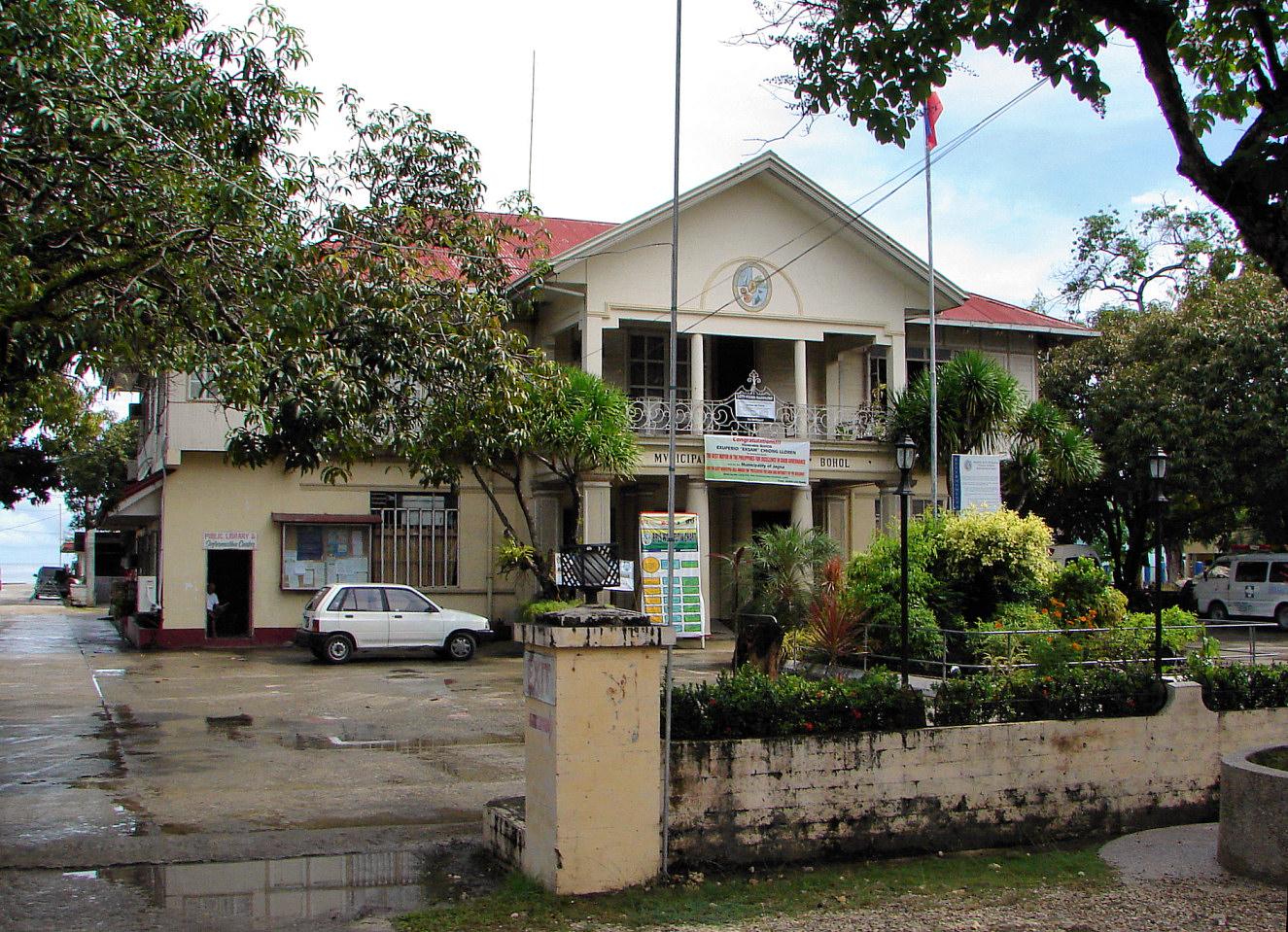
Jagna
Jagna is a busy trading and ferry town on Bohol’s southern coast, with a market, a historic church and a strong association with calamay sweets. It is a useful place to pause on an island journey rather than treating the harbour as the whole destination.
Get to know the placePhoto credits4
- Depicts: GetafeGetafe Bohol 1. Author: P199. Credit: Own work. License: CC BY-SA 3.0 (https://creativecommons.org/licenses/by-sa/3.0). Source: https://commons.wikimedia.org/wiki/File:Getafe_Bohol_1.jpgCropped to fit the display.
- Depicts: MaasinMaasin City proper coastal view (Maasin, Southern Leyte; 01-17-2024). Author: Patrickroque01. Credit: Taken using my own camera. License: CC BY-SA 4.0 (https://creativecommons.org/licenses/by-sa/4.0). Source: https://commons.wikimedia.org/wiki/File:Maasin_City_proper_coastal_view_(Maasin,_Southern_Leyte;_01-17-2024).jpgCropped to fit the display.
- Depicts: Bato, LeyteBato Leyte (10-30-2022). Author: PaulGorduiz106. Credit: Own work. License: CC BY-SA 4.0 (https://creativecommons.org/licenses/by-sa/4.0). Source: https://commons.wikimedia.org/wiki/File:Bato_Leyte_(10-30-2022).jpgCropped to fit the display.
- Depicts: JagnaJagna Bohol 2. Author: P199. Credit: Own work. License: CC BY-SA 3.0 (https://creativecommons.org/licenses/by-sa/3.0). Source: https://commons.wikimedia.org/wiki/File:Jagna_Bohol_2.jpgCropped to fit the display.
