
Puerto Villamil.
Puerto Villamil is the main town on the southern coast of Isabela, where pale sand, lagoons and volcanic landscapes meet. Its appeal is a slower island stay with varied nature outings close to the inhabited coast.
Photo credits1
- Depicts: Puerto VillamilPtoVillamilCallePrincipal. Author: Torbenbrinker. Credit: Own work. License: CC BY-SA 4.0 (https://creativecommons.org/licenses/by-sa/4.0). Source: https://commons.wikimedia.org/wiki/File:PtoVillamilCallePrincipal.jpgCropped to fit the display.
Make your way to Puerto Villamil
Choose a tool and your dates to check the options for your trip.
More ways to explore
- Country
- Ecuador
- Currency
- USD
- Time zone
- Pacific/Galapagos
Puerto Villamil is the main town on the southern coast of Isabela, where pale sand, lagoons and volcanic landscapes meet. Its appeal is a slower island stay with varied nature outings close to the inhabited coast.
Isabela is a large island, and a stay in Villamil does not make every remote visitor site a local day trip. Separate the nearby lagoons and trails from boat outings and longer volcanic excursions when deciding how much time to allow.
When to go
The warmer December-to-May period contrasts with cooler waters and garúa mist from June to November. Pack for a difference between the coast and higher terrain. For a sea outing, ask about the expected conditions and equipment; for a walk, check current access and the route's demands. Avoid turning a general seasonal pattern into a promised wildlife encounter.
Getting there
Mainland flights reach the archipelago through Baltra or San Cristóbal. Plan the onward journey to Isabela separately, using actual inter-island boat or flight availability and the precise arrival point. Confirm baggage and transfer arrangements with the carrier. Leave space between connections, particularly before a mainland departure at the end of your stay.
Getting around
Some coastal and lagoon outings begin from town, while offshore Tintoreras requires a boat. Check distances, access and guide requirements before assuming a trail is a short walk. Arrange transport for highland visits and confirm the return. Keeping the route to the Wall of Tears separate from a full marine excursion gives each more time.
Local food
Fishing and farming are part of Isabela's local life. Seafood is a natural option within Ecuador's island cuisine, but ask what is available that day and how it is prepared. Coordinate meal times with excursions, particularly an early departure or late return. A simple local dinner can be more practical than extending a tiring outing to fit another reservation.
What to see
The lagoons and tortoise centre introduce the wildlife and conservation work near town. The Wall of Tears adds a difficult chapter of human history: it was built by prisoners of the former penal colony. Tintoreras is a group of small offshore islets visited by boat. Choose the outing for its landscape and interpretation, with wildlife sightings left to nature.
Towns and neighbourhoods
The settlement and its beach form the everyday base. The lagoon routes lead into a different habitat outside the built-up area, while the highlands and volcanoes need a separate plan. Ask where a tour begins and how much is walking, road transport or time afloat. The island name alone is too broad to describe a convenient pickup point.
Coast and outdoors
Villamil's long sandy shore and nearby lagoons give time outdoors a different pace from a boat excursion. Keep to marked access and do not disturb birds or nesting areas. Tintoreras has lava terrain as well as a marine setting, so check footwear and landing advice with the organiser. Swimming conditions and the permitted activity depend on the precise site.
Where to stay
A base in Puerto Villamil keeps you close to the town's services and shore. Compare beachfront access with the distance to excursion meetings, rather than choosing only by a sea-view photograph. Ask about early breakfasts, luggage storage and the transfer from your arrival point. A quiet property still needs a practical plan for meals and the final departure.
Useful before you go
Follow Galápagos biosecurity instructions, including restrictions on what you carry between locations. Use authorised operators for protected sites and respect any changed access arrangements. Keep at least two metres from wildlife, remain on marked trails and carry rubbish back. The lagoons, beach and volcanic ground have different conditions, so check the plan and clothing for each outing.
Good to know before you go
Is Villamil the whole of Isabela?
No. It is the southern port town on a much larger island.
What is the Wall of Tears?
A structure built by prisoners of Isabela’s former penal colony.
Can I walk to Tintoreras?
It is an offshore group of islets reached on a boat outing.
Can I fly directly from mainland Ecuador to Villamil?
The main mainland gateways are Baltra and San Cristóbal; plan any onward Isabela connection separately.
Sources & references
These references support the guide. Confirm opening hours, access and travel services before you go.
Where could the journey go next?
More guides in Ecuador. Compare the places and check actual connections before combining stops.
 Area overview: Floreana
Puerto Velasco Ibarra
Puerto Velasco Ibarra is the small port settlement on Floreana. It suits travellers who want a quieter inhabited island and time to explore the relationship between the highlands, early settlement and the surrounding protected coast.
Get to know the place
Puerto Ayora
Puerto Ayora is the port town on Academy Bay, on the southern shore of Santa Cruz. It brings together island life, conservation work and the practical services needed for a Galápagos stay based on land.
Get to know the place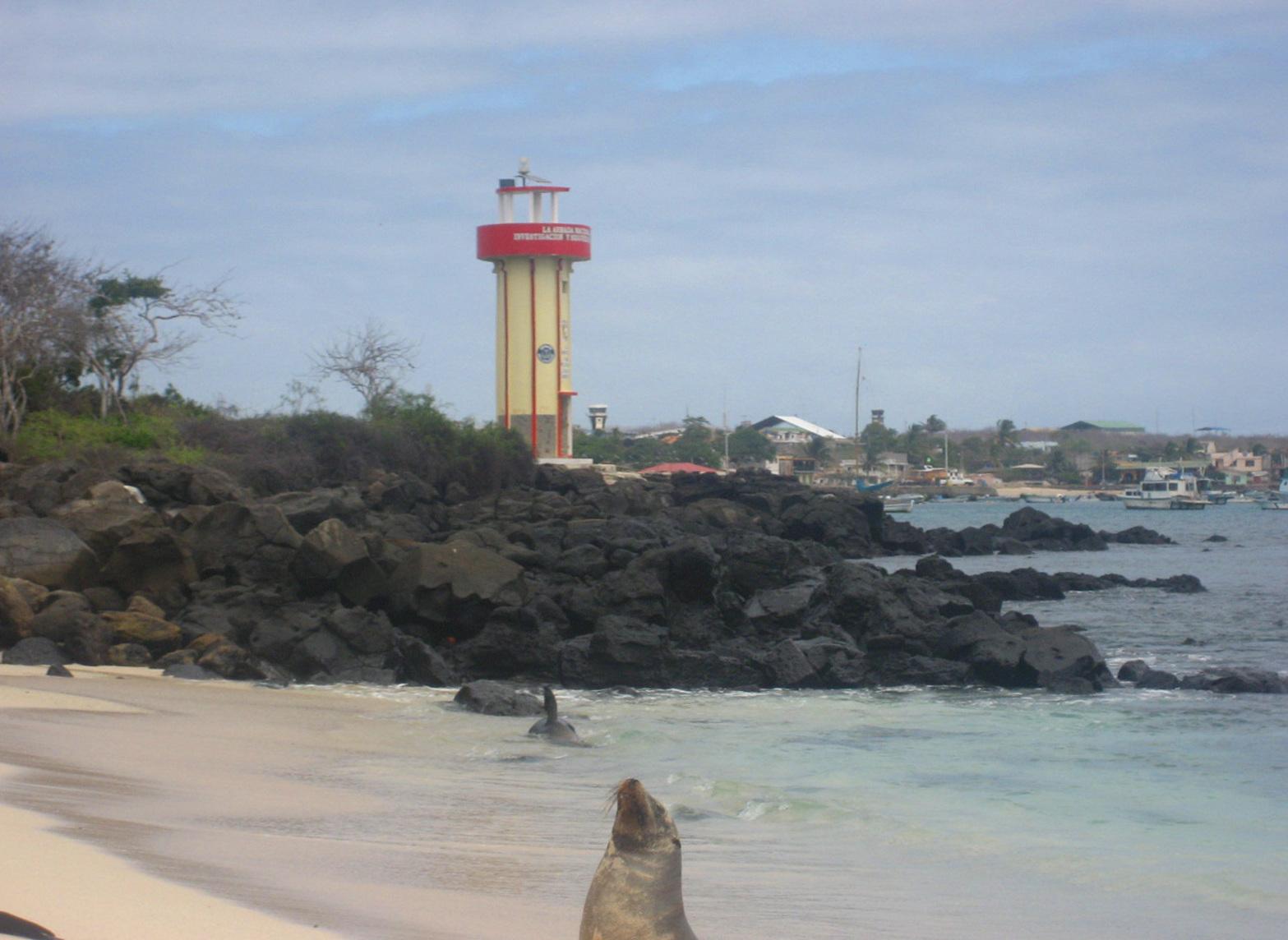
Puerto Baquerizo Moreno
Puerto Baquerizo Moreno is the capital of Galápagos province, on San Cristóbal. Its waterfront, port and nearby airport make it a useful starting point for an island stay that mixes coastal walks with organised nature outings.
Get to know the placePhoto credits3
- Area image: Floreana Island — Area overview: FloreanaView of Post Office Bay, Floreana Island, from Mirador de la Baronesa. Author: Andrew Katsis. Credit: Own work. License: CC BY 4.0 (https://creativecommons.org/licenses/by/4.0). Source: https://commons.wikimedia.org/wiki/File:View_of_Post_Office_Bay,_Floreana_Island,_from_Mirador_de_la_Baronesa.jpgCropped to fit the display.
- Depicts: Puerto AyoraMain street, Puerto Ayora, Santa Cruz, Galapagos - panoramio. Author: David Broad. Credit: https://web.archive.org/web/20161020075817/http://www.panoramio.com/photo/57353690. License: CC BY 3.0 (https://creativecommons.org/licenses/by/3.0). Source: https://commons.wikimedia.org/wiki/File:Main_street,_Puerto_Ayora,_Santa_Cruz,_Galapagos_-_panoramio.jpgCropped to fit the display.
- Depicts: Puerto Baquerizo MorenoGalapagos2007--50--08-22-07. Author: Iris Diensthuber. Credit: Own picture taken. License: CC BY 2.5 (https://creativecommons.org/licenses/by/2.5). Source: https://commons.wikimedia.org/wiki/File:Galapagos2007--50--08-22-07.JPGCropped to fit the display.
