
Ecuador.
Ecuador combines four very different travel regions: the Pacific coast, the Andes, Amazonia and the Galápagos. Moving between them changes the landscape, climate and practical rhythm of a journey; a compact map does not mean every region can be visited in a short stop.
A little closer to Ecuador
Geography, regions and practical details from the country guide. Go straight to a chapter, or browse every destination below.
Go straight to the destinationsEcuador combines four very different travel regions: the Pacific coast, the Andes, Amazonia and the Galápagos. Moving between them changes the landscape, climate and practical rhythm of a journey; a compact map does not mean every region can be visited in a short stop.
For the island destinations in this directory, begin by choosing a Galápagos base. Santa Cruz, San Cristóbal, Isabela and Floreana have separate settlements, visitor sites and transport needs. An island name and its port town are useful but different pieces of information.
Geography
The Galápagos lie in the Pacific west of mainland Ecuador. Their volcanic terrain and protected marine environment make the archipelago a distinctive part of the country. On the mainland, the coastal region, Andean mountains and Amazonian landscapes offer different itineraries. Compare the actual region and elevation when preparing clothing or planning outdoor activities.
Regions to explore
Puerto Ayora is the town on Santa Cruz's southern coast; its usual air approach via Baltra includes a channel crossing and road transfer. Puerto Baquerizo Moreno is on San Cristóbal. Puerto Villamil is the southern town on Isabela, while Puerto Velasco Ibarra is Floreana's settlement. These towns can support stays ashore, but remote island visitor sites may still require separate authorised boat excursions.
Languages
Spanish is the main practical language for local arrangements in the destinations covered here. Ask which language an excursion or guided visit uses before booking, and keep the Spanish place names alongside any translated names. Ecuador's cultural life includes Indigenous communities and languages; a trip beyond the islands deserves time for the particular region's history and customs.
Money
Ecuador uses the United States dollar. Ecuadorian fractional coins also circulate, so local centavo coins are not evidence that a different currency is required. Confirm payment methods for small transfers, accommodation and excursions. Check current charges and entry-related payments directly rather than relying on a total copied from an older itinerary.
Local culture
Galápagos travel combines inhabited towns with protected natural environments. Keep a respectful distance from wildlife, including when photographing it; do not feed or touch animals. Remain on designated routes and use authorised services where required. Conservation rules apply to attractive beaches and waterfront encounters as well as formal guided excursions, so ask before assuming an activity is permitted.
Practical information
Plan the mainland flight, island arrival transfer and inter-island connection as separate stages. Leave a buffer before the flight home. Mainland Ecuador and Galápagos use different local times, with the islands one hour behind; check each booking's time. Review the current transit-control, biosecurity and national-park requirements before travel. The access rules for a particular visitor site can differ from those for a walk within the town, and boat conditions can change the day's programme.
Good to know before you go
Which are Ecuador's four travel regions?
The Pacific coast, Andes, Amazonia and Galápagos.
Is Baltra Airport in Puerto Ayora?
No. The trip to Puerto Ayora includes a channel crossing and road journey across Santa Cruz.
What currency is used?
US dollars, together with Ecuadorian fractional coins in local circulation.
Do the islands use mainland time?
Galápagos is one hour behind mainland Ecuador. Confirm the local time on each transport booking.
Sources & references
These references support the guide. Confirm opening hours, access and travel services before you go.
- 01Ecuador Ministry of Tourism — four regions
- 02Central Bank of Ecuador — US dollar and Ecuadorian coins
- 03Galápagos National Park — visitors
- 04Charles Darwin Foundation — visiting rules
- 05Ecuador Civil Aviation — time zones
- 06Galápagos Conservancy — Santa Cruz
- 07Galápagos Conservancy — San Cristóbal
- 08Galápagos Conservancy — Isabela
- 09Galápagos Conservancy — Floreana
Find your place in Ecuador
Open the guides, get a feel for the differences between places, and find the ones that fit your plans.

Puerto Ayora
Puerto Ayora is the port town on Academy Bay, on the southern shore of Santa Cruz. It brings together island life, conservation work and the practical services needed for a Galápagos stay based on land.
Read the field guide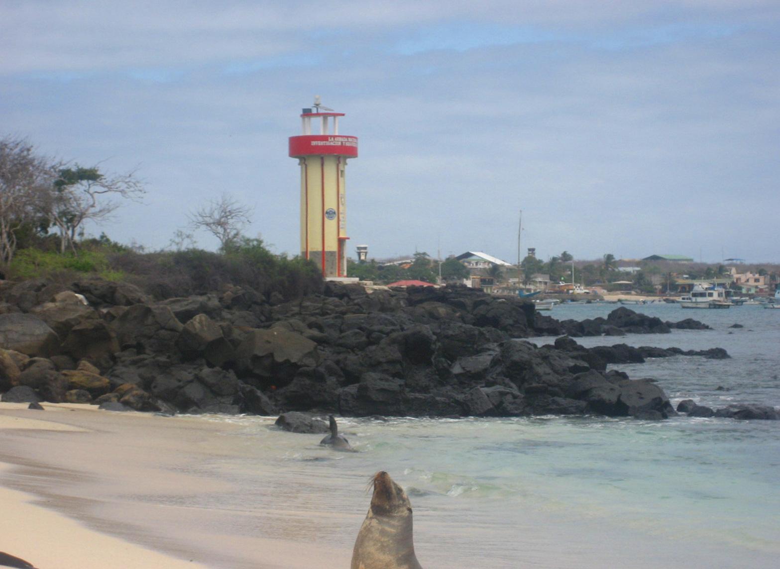
Puerto Baquerizo Moreno
Puerto Baquerizo Moreno is the capital of Galápagos province, on San Cristóbal. Its waterfront, port and nearby airport make it a useful starting point for an island stay that mixes coastal walks with organised nature outings.
Read the field guide Area overview: Floreana
Puerto Velasco Ibarra
Puerto Velasco Ibarra is the small port settlement on Floreana. It suits travellers who want a quieter inhabited island and time to explore the relationship between the highlands, early settlement and the surrounding protected coast.
Read the field guide
Puerto Villamil
Puerto Villamil is the main town on the southern coast of Isabela, where pale sand, lagoons and volcanic landscapes meet. Its appeal is a slower island stay with varied nature outings close to the inhabited coast.
Read the field guidePhoto credits4
- Depicts: Puerto AyoraMain street, Puerto Ayora, Santa Cruz, Galapagos - panoramio. Author: David Broad. Credit: https://web.archive.org/web/20161020075817/http://www.panoramio.com/photo/57353690. License: CC BY 3.0 (https://creativecommons.org/licenses/by/3.0). Source: https://commons.wikimedia.org/wiki/File:Main_street,_Puerto_Ayora,_Santa_Cruz,_Galapagos_-_panoramio.jpgCropped to fit the display.
- Depicts: Puerto Baquerizo MorenoGalapagos2007--50--08-22-07. Author: Iris Diensthuber. Credit: Own picture taken. License: CC BY 2.5 (https://creativecommons.org/licenses/by/2.5). Source: https://commons.wikimedia.org/wiki/File:Galapagos2007--50--08-22-07.JPGCropped to fit the display.
- Area image: Floreana Island — Area overview: FloreanaView of Post Office Bay, Floreana Island, from Mirador de la Baronesa. Author: Andrew Katsis. Credit: Own work. License: CC BY 4.0 (https://creativecommons.org/licenses/by/4.0). Source: https://commons.wikimedia.org/wiki/File:View_of_Post_Office_Bay,_Floreana_Island,_from_Mirador_de_la_Baronesa.jpgCropped to fit the display.
- Depicts: Puerto VillamilPtoVillamilCallePrincipal. Author: Torbenbrinker. Credit: Own work. License: CC BY-SA 4.0 (https://creativecommons.org/licenses/by-sa/4.0). Source: https://commons.wikimedia.org/wiki/File:PtoVillamilCallePrincipal.jpgCropped to fit the display.
